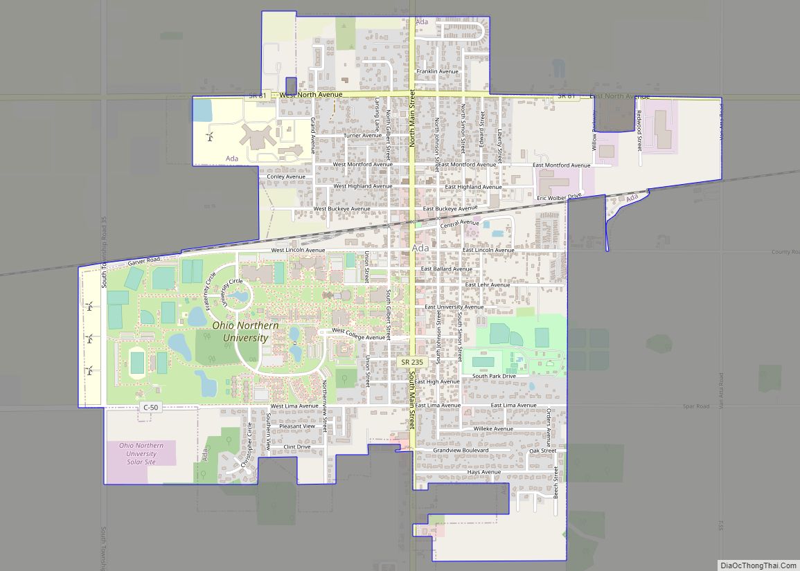
Ada /ˈeɪdə/; AY-də; is a village in Hardin County, Ohio, United States, located about 69 miles (111 km) southwest of Toledo. The population was 5,952 at the 2010 census.
| Name: | Ada village |
|---|---|
| LSAD Code: | 47 |
| LSAD Description: | village (suffix) |
| State: | Ohio |
| County: | Hardin County |
| Elevation: | 958 ft (292 m) |
| Total Area: | 2.13 sq mi (5.53 km²) |
| Land Area: | 2.13 sq mi (5.53 km²) |
| Water Area: | 0.00 sq mi (0.00 km²) |
| Total Population: | 5,334 |
| Population Density: | 2,499.53/sq mi (965.30/km²) |
| ZIP code: | 45810 |
| Area code: | 419 |
| FIPS code: | 3900198 |
| GNISfeature ID: | 1064295 |
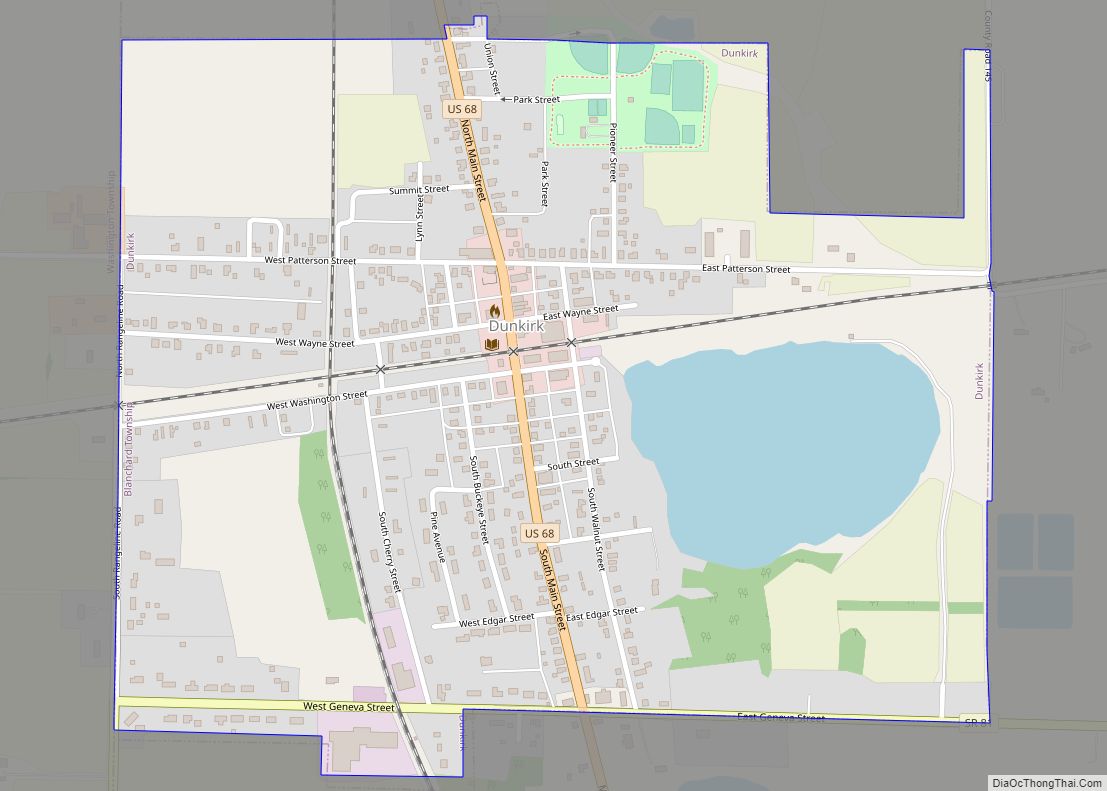
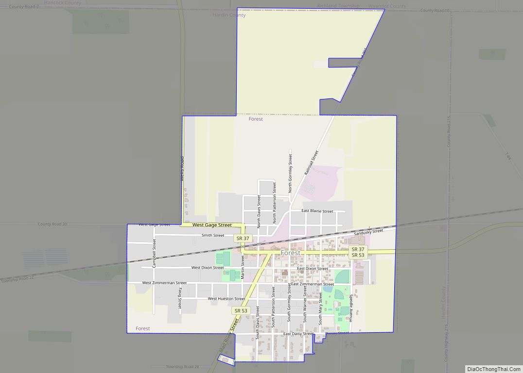
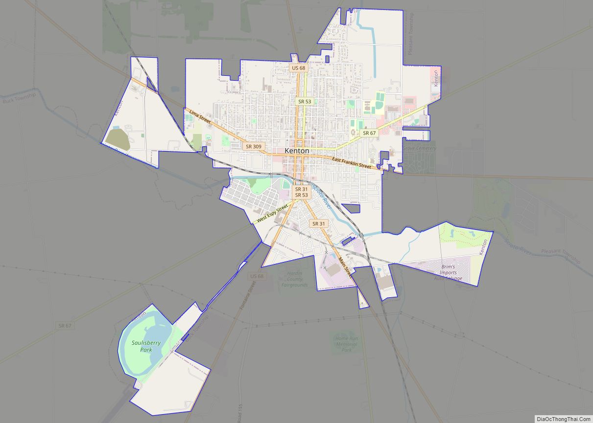
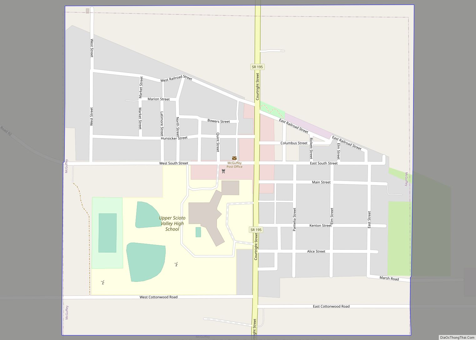
Online Interactive Map
Click on ![]() to view map in "full screen" mode.
to view map in "full screen" mode.
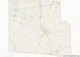
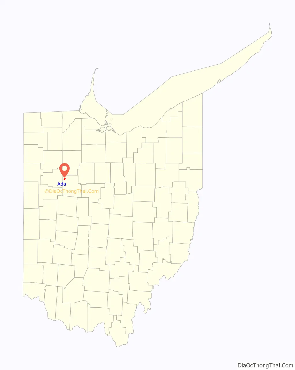
Ada location map. Where is Ada village?

History
Following the 1817 Treaty of Fort Meigs, the Shawnee Indians held reservation land at Hog Creek near Ada. Ada itself was originally called Johnstown, platted in 1853 by S. M. Johnson when the railroad was extended to that point. When a post office was established it was called Ada Post Office, named after the postmaster’s daughter, Ada. The post office has been in operation since 1854. Ada has been noted for having one of the shortest place names in Ohio. The National Arbor Day Foundation has qualified Ada as a Tree City USA since 1981.
Ada Road Map
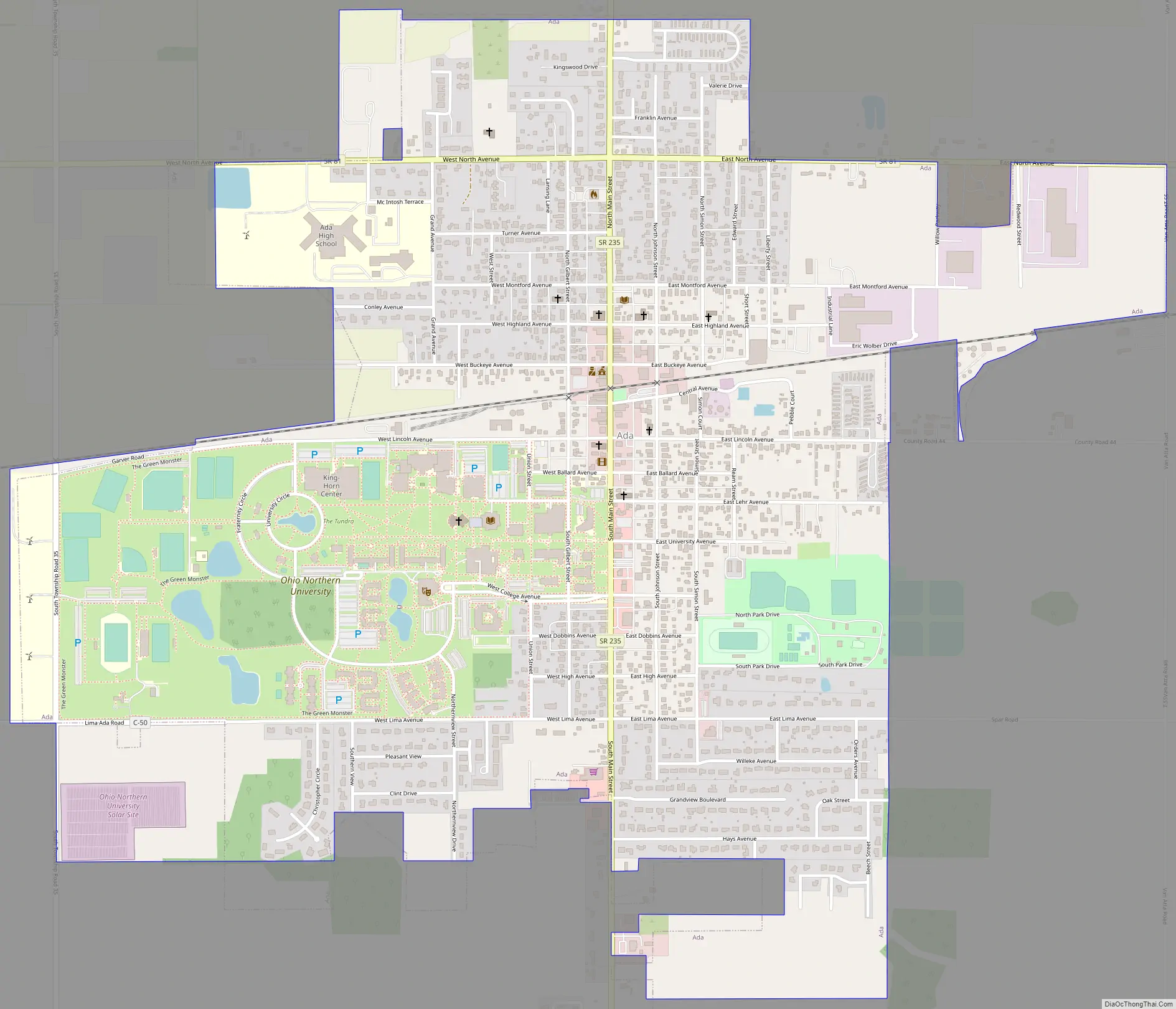
Ada city Satellite Map

Geography
Ada is located at 40°46′8″N 83°49′20″W / 40.76889°N 83.82222°W / 40.76889; -83.82222 (40.768883, -83.822298).
According to the 2010 census, the village has a total area of 2.08 square miles (5.4 km), all land. The area surrounding the village is mostly farmland and small plots of forest. Hog Creek is the only waterway of note and snakes around the village to the north and the east.
See also
Map of Ohio State and its subdivision:- Adams
- Allen
- Ashland
- Ashtabula
- Athens
- Auglaize
- Belmont
- Brown
- Butler
- Carroll
- Champaign
- Clark
- Clermont
- Clinton
- Columbiana
- Coshocton
- Crawford
- Cuyahoga
- Darke
- Defiance
- Delaware
- Erie
- Fairfield
- Fayette
- Franklin
- Fulton
- Gallia
- Geauga
- Greene
- Guernsey
- Hamilton
- Hancock
- Hardin
- Harrison
- Henry
- Highland
- Hocking
- Holmes
- Huron
- Jackson
- Jefferson
- Knox
- Lake
- Lake Erie
- Lawrence
- Licking
- Logan
- Lorain
- Lucas
- Madison
- Mahoning
- Marion
- Medina
- Meigs
- Mercer
- Miami
- Monroe
- Montgomery
- Morgan
- Morrow
- Muskingum
- Noble
- Ottawa
- Paulding
- Perry
- Pickaway
- Pike
- Portage
- Preble
- Putnam
- Richland
- Ross
- Sandusky
- Scioto
- Seneca
- Shelby
- Stark
- Summit
- Trumbull
- Tuscarawas
- Union
- Van Wert
- Vinton
- Warren
- Washington
- Wayne
- Williams
- Wood
- Wyandot
- Alabama
- Alaska
- Arizona
- Arkansas
- California
- Colorado
- Connecticut
- Delaware
- District of Columbia
- Florida
- Georgia
- Hawaii
- Idaho
- Illinois
- Indiana
- Iowa
- Kansas
- Kentucky
- Louisiana
- Maine
- Maryland
- Massachusetts
- Michigan
- Minnesota
- Mississippi
- Missouri
- Montana
- Nebraska
- Nevada
- New Hampshire
- New Jersey
- New Mexico
- New York
- North Carolina
- North Dakota
- Ohio
- Oklahoma
- Oregon
- Pennsylvania
- Rhode Island
- South Carolina
- South Dakota
- Tennessee
- Texas
- Utah
- Vermont
- Virginia
- Washington
- West Virginia
- Wisconsin
- Wyoming