Dayton (/ˈdeɪʔən/ (listen)) is the sixth-largest city in the U.S. state of Ohio and the county seat of Montgomery County. A small part of the city extends into Greene County. The 2020 U.S. census estimate put the city population at 137,644, while Greater Dayton was estimated to be at 814,049 residents. The Combined Statistical Area (CSA) was 1,086,512. This makes Dayton the fourth-largest metropolitan area in Ohio and 73rd in the United States. Dayton is within Ohio’s Miami Valley region, 50 miles (80 km) north of the Greater Cincinnati area.
Ohio’s borders are within 500 miles (800 km) of roughly 60 percent of the country’s population and manufacturing infrastructure, making the Dayton area a logistical centroid for manufacturers, suppliers, and shippers. Dayton also hosts significant research and development in fields like industrial, aeronautical, and astronautical engineering that have led to many technological innovations. Much of this innovation is due in part to Wright-Patterson Air Force Base and its place in the community. With the decline of heavy manufacturing, Dayton’s businesses have diversified into a service economy that includes insurance and legal sectors as well as healthcare and government sectors.
Along with defense and aerospace, healthcare accounts for much of the Dayton area’s economy. Hospitals in the Greater Dayton area have an estimated combined employment of nearly 32,000 and a yearly economic impact of $6.8 billion. It is estimated that Premier Health Partners, a hospital network, contributes more than $2 billion a year to the region through operating, employment, and capital expenditures. In 2011, Dayton was rated the #3 city in the nation by HealthGrades for excellence in healthcare.
Dayton is also noted for its association with aviation; the city is the birthplace of Orville Wright. Other well-known individuals born in the city include poet Paul Laurence Dunbar and entrepreneur John H. Patterson. Dayton is also known for its many patents, inventions, and inventors, most notably the Wright brothers’ invention of powered flight. In 2007 Dayton was a part of the top 100 cities in America. In 2008, 2009, and 2010, Site Selection magazine ranked Dayton the #1 mid-sized metropolitan area in the nation for economic development. Also in 2010, Dayton was named one of the best places in the United States for college graduates to find a job.
| Name: | Dayton city |
|---|---|
| LSAD Code: | 25 |
| LSAD Description: | city (suffix) |
| State: | Ohio |
| County: | Montgomery County |
| Founded: | 1796 |
| Elevation: | 738 ft (225 m) |
| Land Area: | 55.81 sq mi (144.54 km²) |
| Water Area: | 1.15 sq mi (2.99 km²) |
| Population Density: | 2,466.47/sq mi (952.31/km²) |
| FIPS code: | 3921000 |
| GNISfeature ID: | 1064514 |
| Website: | daytonohio.gov |
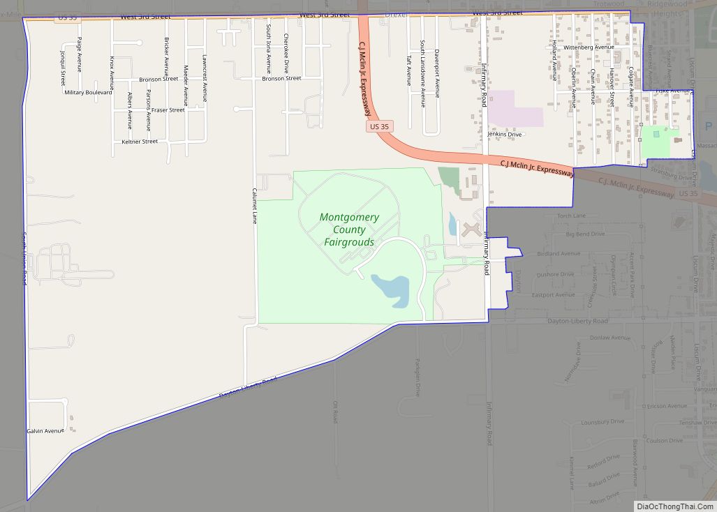
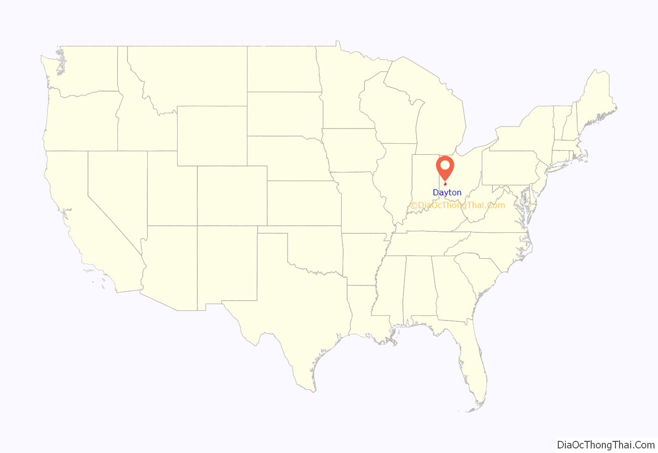
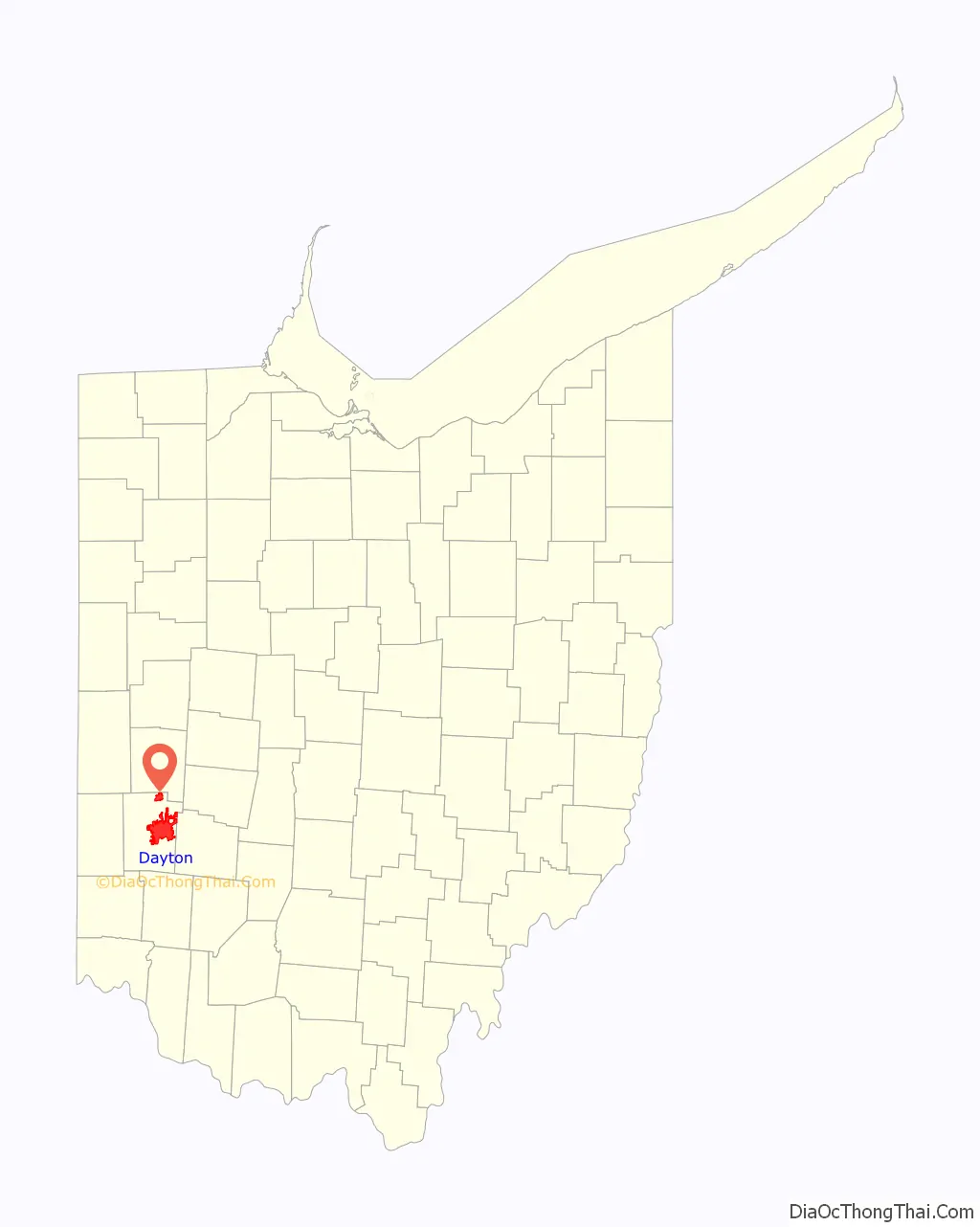
Online Interactive Map
Click on ![]() to view map in "full screen" mode.
to view map in "full screen" mode.
Dayton location map. Where is Dayton city?
History
Dayton was founded on April 1, 1796, by 12 settlers known as the Thompson Party. They traveled in March from Cincinnati up the Great Miami River by pirogue and landed at what is now St. Clair Street, where they found two small camps of Native Americans. Among the Thompson Party was Benjamin Van Cleve, whose memoirs provide insights into the Ohio Valley’s history. Two other groups traveling overland arrived several days later. The oldest surviving building is Newcom Tavern, which was used for various purposes, including housing Dayton’s first church, which is still in existence.
In 1797, Daniel C. Cooper laid out Mad River Road, the first overland connection between Cincinnati and Dayton, opening the “Mad River Country” to settlement. Ohio was admitted into the Union in 1803, and the village of Dayton was incorporated in 1805 and chartered as a city in 1841. The city was named after Jonathan Dayton, a captain in the American Revolutionary War who signed the U.S. Constitution and owned a significant amount of land in the area. In 1827, construction on the Dayton–Cincinnati canal began, which would provide a better way to transport goods from Dayton to Cincinnati and contribute significantly to Dayton’s economic growth during the 1800s.
Innovation
Innovation led to business growth in the region. In 1884, John Henry Patterson acquired James Ritty’s National Manufacturing Company along with his cash register patents and formed the National Cash Register Company (NCR). The company manufactured the first mechanical cash registers and played a crucial role in the shaping of Dayton’s reputation as an epicenter for manufacturing in the early 1900s. In 1906, Charles F. Kettering, a leading engineer at the company, helped develop the first electric cash register, which propelled NCR into the national spotlight. NCR also helped develop the US Navy Bombe, a code-breaking machine that helped crack the Enigma machine cipher during World War II.
Dayton has been the home for many patents and inventions since the 1870s. According to the National Park Service, citing information from the U.S. Patent Office, Dayton had granted more patents per capita than any other U.S. city in 1890 and ranked fifth in the nation as early as 1870. The Wright brothers, inventors of the airplane, and Charles F. Kettering, world-renowned for his numerous inventions, hailed from Dayton. The city was also home to James Ritty’s Incorruptible Cashier, the first mechanical cash register, and Arthur E. Morgan’s hydraulic jump, a flood prevention mechanism that helped pioneer hydraulic engineering. Paul Laurence Dunbar, an African-American poet and novelist, penned his most famous works in the late 19th century and became an integral part of the city’s history.
Birthplace of aviation
Powered aviation began in Dayton. Orville and Wilbur Wright were the first to construct and demonstrate powered flight. Although the first flight was in Kitty Hawk, North Carolina, their Wright Flyer was built in and returned to Dayton for improvements and further flights at Huffman Field, a cow pasture eight miles (13 km) northeast of Dayton, near the current Wright-Patterson Air Force Base.
When the government tried to move development to Langley field in southern Virginia, six Dayton businessmen including Edward A. Deeds, formed the Dayton-Wright Airplane Company in Moraine and established a flying field. Deeds also opened a field to the north in the flood plain of the Great Miami River between the confluences of that river, the Stillwater River, and the Mad River, near downtown Dayton. Later named McCook Field for Alexander McDowell McCook, an American Civil War general, this became the Army Signal Corps’ primary aviation research and training location. Wilbur Wright also purchased land near Huffman prairie to continue their research.
During World War I, the Army purchased 40 acres adjacent to Huffman Prairie for the Fairfield Aviation General Supply Depot. As airplanes developed more capability, they needed more runway space than McCook could offer, and a new location was sought. The Patterson family formed the Dayton Air Service Committee, Inc which held a campaign that raised $425,000 in two days and purchased 4,520.47 acres (18.2937 km) northeast of Dayton, including Wilbur Wright Field and the Huffman Prairie Flying Field. Wright Field was “formally dedicated” on October 12, 1927. After World War II, Wright Field and the adjacent Patterson Field, Dayton Army Air Field, and Clinton Army Air Field were merged as the Headquarters, Air Force Technical Base. On January 13, 1948, the facility was renamed Wright-Patterson Air Force Base.
Great Dayton Flood
A catastrophic flood in March 1913, known as the Great Dayton Flood, led to the creation of the Miami Conservancy District, a series of dams as well as hydraulic pumps installed around Dayton, in 1914.
The war effort
Like other cities across the country, Dayton was heavily involved in the war effort during World War II. Several locations around the city hosted the Dayton Project, a branch of the larger Manhattan Project, to develop polonium triggers used in early atomic bombs. The war efforts led to a manufacturing boom throughout the city, including high demand for housing and other services. At one point, emergency housing was put into place due to a housing shortage in the region, much of which is still in use today.
Alan Turing is widely considered to be the father of theoretical computer science and artificial intelligence. He visited the National Cash Register (NCR) company in Dayton in December 1942. He was able to show that it was not necessary to build 336 Bombes, so the initial order was scaled down to 96 machines to decipher German Enigma-machine-encrypted secret messages during World War II.
Post-war Dayton
Between the 1940s and the 1970s, the city saw significant growth in suburban areas from population migration. Veterans were returning from military service in large numbers seeking industrial and manufacturing jobs, a part of the local industry that was expanding rapidly. Advancements in architecture also contributed to the suburban boom. New, modernized shopping centers and the Interstate Highway System allowed workers to commute greater distances and families to live further from the downtown area. More than 127,000 homes were built in Montgomery County during the 1950s.
During this time, the city was the site of several race riots, including one in 1955 following the murder of Emmett Till, the 1966 Dayton race riot, two in 1967 (following a speech by civil rights activist H. Rap Brown and another following the police killing of an African American man), and one in 1968 as part of the nationwide King assassination riots.
Since the 1980s, however, Dayton’s population has declined, mainly due to the loss of manufacturing jobs and decentralization of metropolitan areas, as well as the national housing crisis that began in 2008. While much of the state has suffered for similar reasons, the impact on Dayton has been greater than most. Dayton had the third-greatest percentage loss of population in the state since the 1980s, behind Cleveland and Youngstown. Despite this, Dayton has begun diversifying its workforce from manufacturing into other growing sectors such as healthcare and education.
Peace accords
In 1995, the Dayton Agreement, a peace accord between the parties to the hostilities of the conflict in Bosnia-Herzegovina and the former Yugoslavia, was negotiated at Wright-Patterson Air Force Base, near Fairborn, Ohio, from November 1 to 21.
Richard Holbrooke wrote about these events in his memoirs:
2000s initiatives
Downtown expansion that began in the 2000s has helped revitalize the city and encourage growth. Day Air Ballpark, home of the Dayton Dragons, was built in 2000. The highly successful minor league baseball team has been an integral part of Dayton’s culture. In 2001, the city’s public park system, Five Rivers MetroParks, built RiverScape MetroPark, an outdoor entertainment venue that attracts more than 400,000 visitors each year. A new performance arts theater, the Schuster Center, opened in 2003. A large health network in the region, Premier Health Partners, expanded its Miami Valley Hospital with a 12-story tower addition.
In 2010, the Downtown Dayton Partnership, in cooperation with the City of Dayton and community leaders, introduced the Greater Downtown Dayton Plan. It focuses on job creation and retention, infrastructure improvements, housing, recreation, and collaboration. The plan is to be implemented through the year 2020.
Nickname
Dayton is known as the “Gem City”. The nickname’s origin is uncertain, but several theories exist. In the early 19th century, a well-known racehorse named Gem hailed from Dayton. In 1845, an article published in the Cincinnati Daily Chronicle by an author known as T stated:
In the late 1840s, Major William D. Bickham of the Dayton Journal began a campaign to nickname Dayton the “Gem City.” The name was adopted by the city’s Board of Trade several years later. Paul Laurence Dunbar referred to the nickname in his poem, “Toast to Dayton”, as noted in the following excerpt:
Dayton also plays a role in a nickname given to the state of Ohio, “Birthplace of Aviation.” Dayton is the hometown of the Wright brothers, aviation pioneers who are credited with inventing and building the first practical airplane in history. After their first manned flights in Kitty Hawk, North Carolina, which they had chosen due to its ideal weather and climate conditions, the Wrights returned to Dayton and continued testing at nearby Huffman Prairie.
Additionally, Dayton is colloquially referred to as “Little Detroit”. This nickname comes from Dayton’s prominence as a Midwestern manufacturing center.
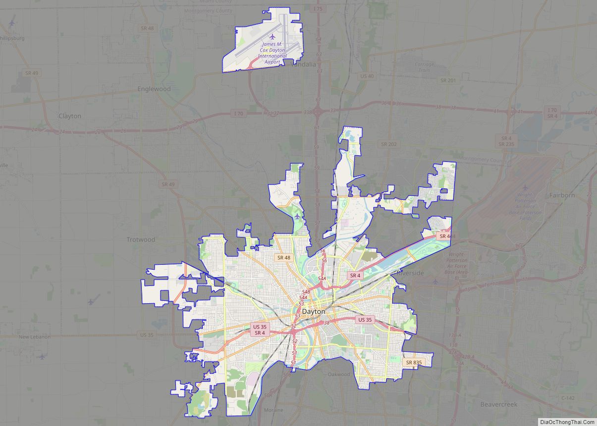
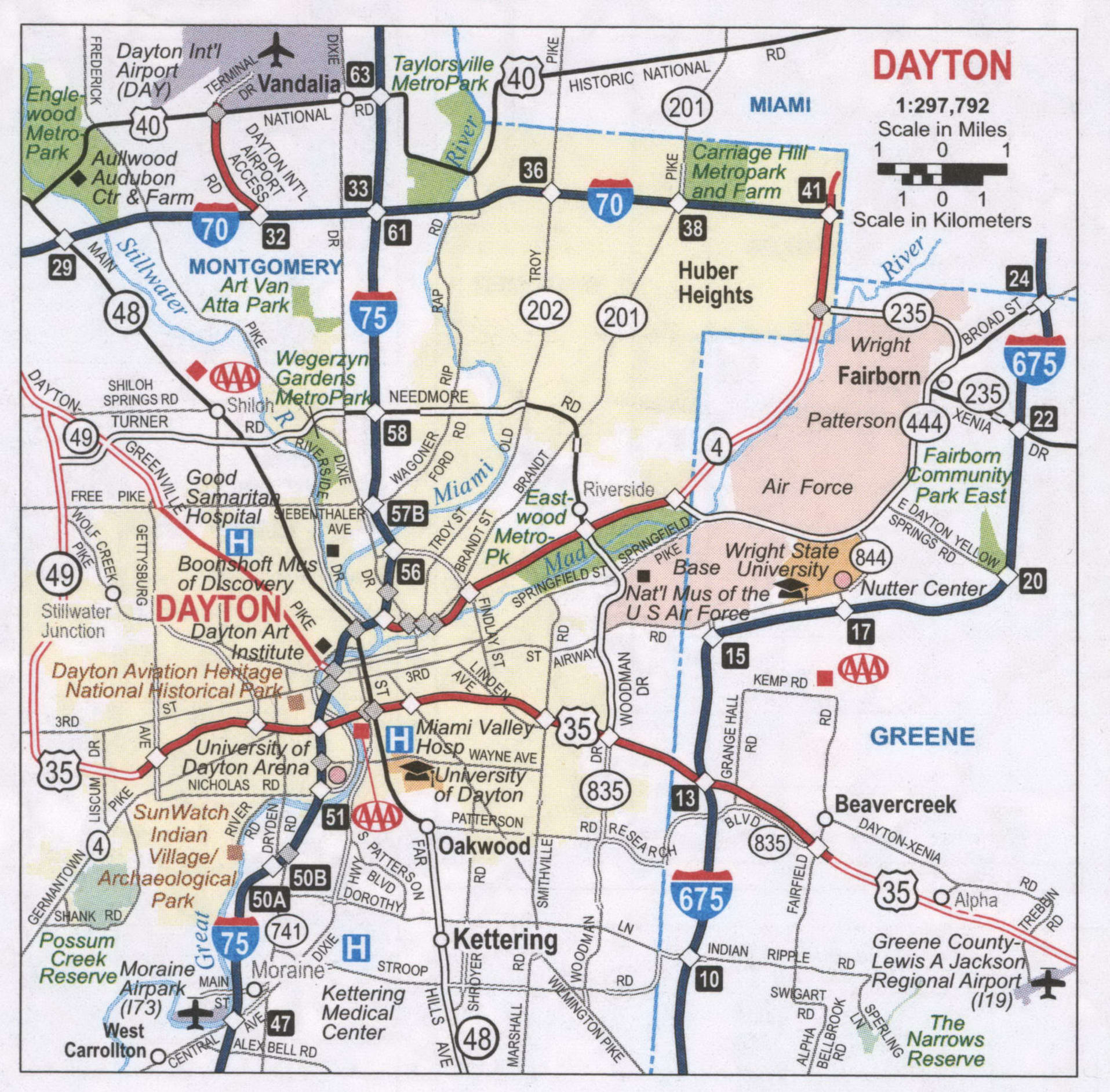
Dayton Road Map
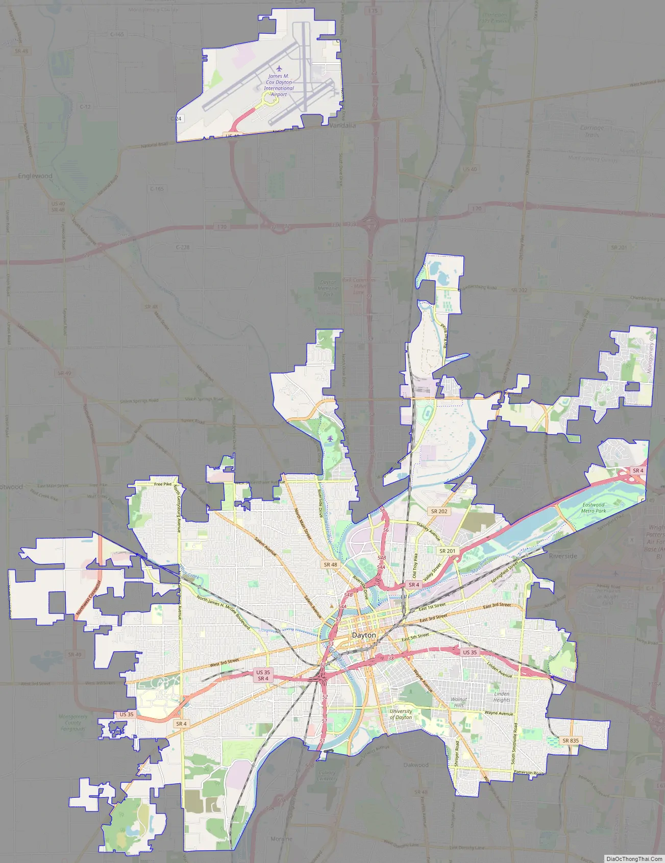
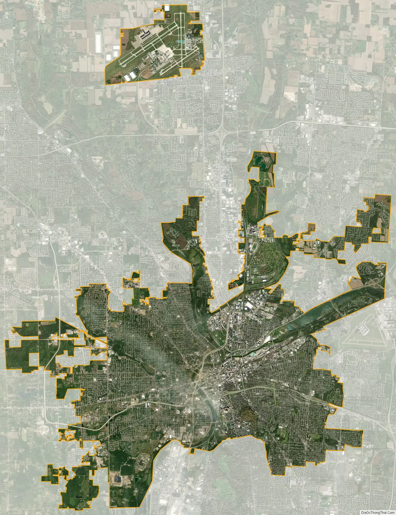
Dayton city Satellite Map
Geography
According to the United States Census Bureau, the city has a total area of 56.50 square miles (146.33 km), of which 55.65 square miles (144.13 km) is land and 0.85 square miles (2.20 km) is water.
Climate
Dayton’s climate features warm, muggy summers and cold, dry winters, and is classified as a humid continental climate (Köppen Dfa). Unless otherwise noted, all normal figures quoted within the text below are from the official climatology station, Dayton International Airport, at an elevation of 1,000 ft (304.8 m) about 10 mi (16 km) to the north of downtown Dayton, which lies within the valley of the Miami River; thus temperatures there are typically cooler than in downtown.
At the airport, monthly mean temperatures range from 27.5 °F (−2.5 °C) in January to 74.1 °F (23.4 °C) in July. The highest temperature ever recorded in Dayton was 108 °F (42 °C) on July 22, 1901, and the coldest was −28 °F (−33 °C) on February 13 during the Great Blizzard of 1899. On average, there are 14 days of 90 °F (32 °C)+ highs and 4.5 nights of sub-0 °F (−18 °C) lows annually. Snow is moderate, with a normal seasonal accumulation of 23.3 in (59 cm), usually occurring from November to March, occasionally April, and rarely October. Precipitation averages 41.1 inches (1,040 mm) annually, with total rainfall peaking in May.
Dayton is subject to severe weather typical of the Midwestern United States. Tornadoes are possible from the spring to the fall. Floods, blizzards, and severe thunderstorms can also occur.
On Memorial Day of 2019, Dayton suffered extensive property damage and one death during a tornado outbreak, in which a total of 15 tornadoes touched down in the Dayton area. Although some of the tornadoes were only EF0 and remained on the ground for less than a mile, one was an EF4 measuring a half-mile-wide (805 meters), which tore through the communities of Brookville, Trotwood, Dayton, and Riverside. Several streets were closed, including portions of I-75 and North Dixie Street. 64,000 residents lost power and much of the region’s water supply was cut off.
Ecology
The Dayton Audubon Society is the National Audubon Society’s local chapter. The Dayton chapter manages local activities contributing to the annual, hemisphere-wide Christmas Bird Count. The Chapter began participation in the National Count in 1924. The local Count was initially coordinated by Ben Blincoe, who was succeeded by Jim Hill in 1970. In the mid-1960s, the freezing of Lake Erie and associated marshlands led species of waterfowl to appear in the Dayton-area, where surface waters remained unfrozen. Nine varieties of birds have been observed every year in the Dayton area: downy woodpecker, Carolina chickadee, tufted titmouse, brown creeper, cardinal, junco, tree sparrow, song sparrow and crow.
See also
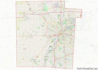
Map of Ohio State and its subdivision:- Adams
- Allen
- Ashland
- Ashtabula
- Athens
- Auglaize
- Belmont
- Brown
- Butler
- Carroll
- Champaign
- Clark
- Clermont
- Clinton
- Columbiana
- Coshocton
- Crawford
- Cuyahoga
- Darke
- Defiance
- Delaware
- Erie
- Fairfield
- Fayette
- Franklin
- Fulton
- Gallia
- Geauga
- Greene
- Guernsey
- Hamilton
- Hancock
- Hardin
- Harrison
- Henry
- Highland
- Hocking
- Holmes
- Huron
- Jackson
- Jefferson
- Knox
- Lake
- Lake Erie
- Lawrence
- Licking
- Logan
- Lorain
- Lucas
- Madison
- Mahoning
- Marion
- Medina
- Meigs
- Mercer
- Miami
- Monroe
- Montgomery
- Morgan
- Morrow
- Muskingum
- Noble
- Ottawa
- Paulding
- Perry
- Pickaway
- Pike
- Portage
- Preble
- Putnam
- Richland
- Ross
- Sandusky
- Scioto
- Seneca
- Shelby
- Stark
- Summit
- Trumbull
- Tuscarawas
- Union
- Van Wert
- Vinton
- Warren
- Washington
- Wayne
- Williams
- Wood
- Wyandot
- Alabama
- Alaska
- Arizona
- Arkansas
- California
- Colorado
- Connecticut
- Delaware
- District of Columbia
- Florida
- Georgia
- Hawaii
- Idaho
- Illinois
- Indiana
- Iowa
- Kansas
- Kentucky
- Louisiana
- Maine
- Maryland
- Massachusetts
- Michigan
- Minnesota
- Mississippi
- Missouri
- Montana
- Nebraska
- Nevada
- New Hampshire
- New Jersey
- New Mexico
- New York
- North Carolina
- North Dakota
- Ohio
- Oklahoma
- Oregon
- Pennsylvania
- Rhode Island
- South Carolina
- South Dakota
- Tennessee
- Texas
- Utah
- Vermont
- Virginia
- Washington
- West Virginia
- Wisconsin
- Wyoming