Washington County is located in the southeastern part of the U.S. state of Missouri. As of the 2020 United States census, the population was 23,514. The county seat and largest city is Potosi. The county was officially organized on August 21, 1813, and was named in honor of George Washington, the first President of the United States.
| Name: | Washington County |
|---|---|
| FIPS code: | 29-221 |
| State: | Missouri |
| Founded: | August 21, 1813 |
| Named for: | President George Washington |
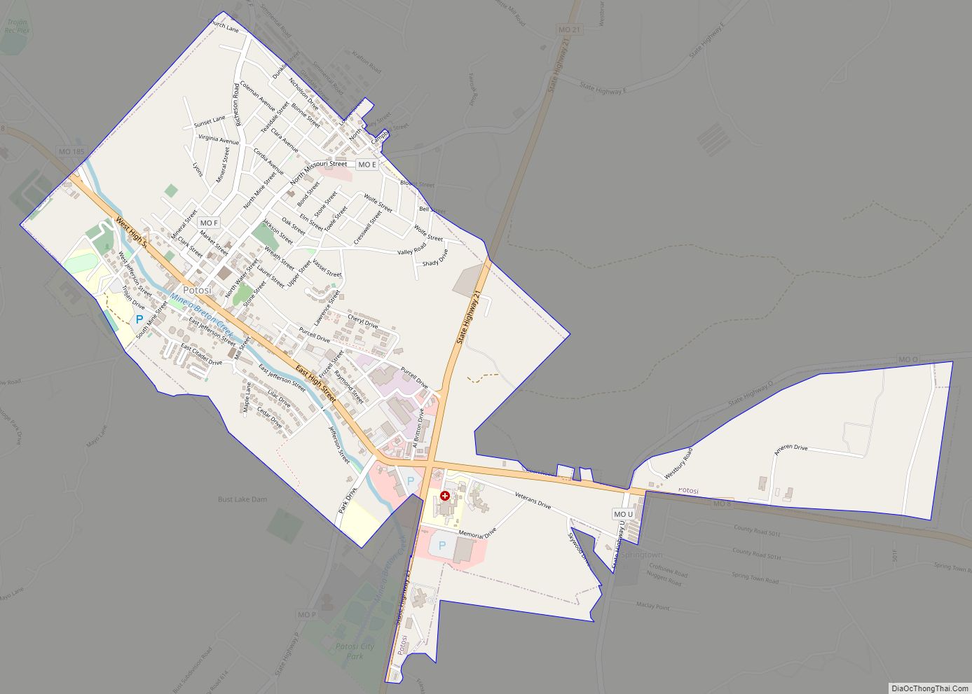
| Seat: | Potosi |
| Largest city: | Potosi |
| Total Area: | 762 sq mi (1,970 km²) |
| Land Area: | 760 sq mi (2,000 km²) |
| Total Population: | 23,514 |
| Population Density: | 31/sq mi (12/km²) |
| Time zone: | UTC−6 (Central) |
| Summer Time Zone (DST): | UTC−5 (CDT) |
| Website: | www.washingtoncountymo.us |
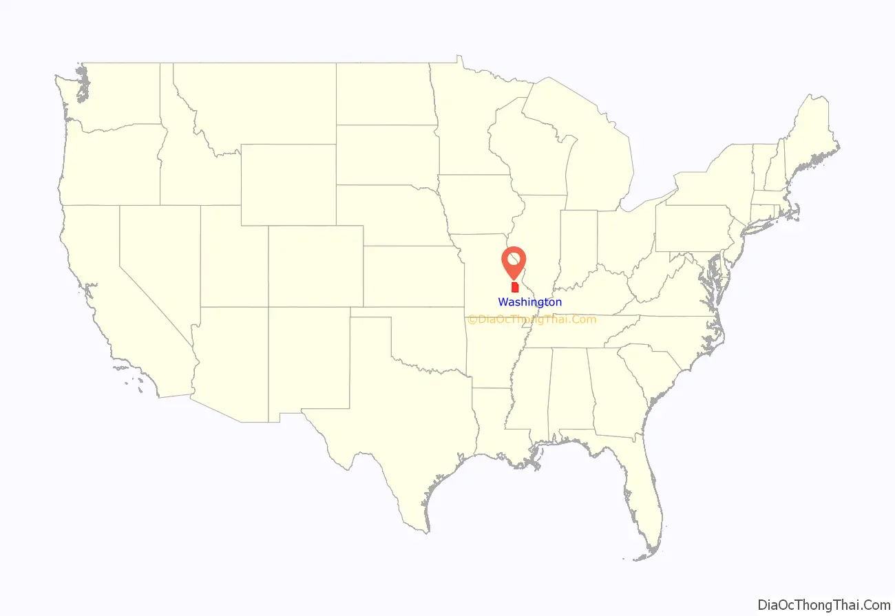
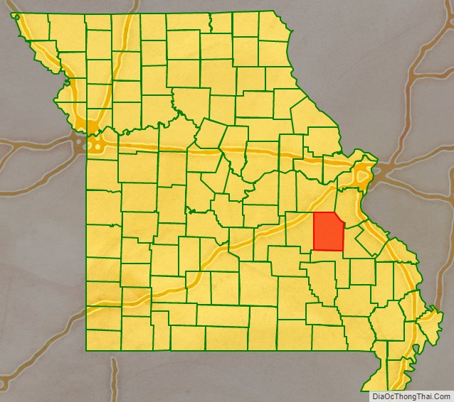
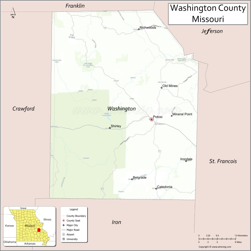
Washington County location map. Where is Washington County?
History
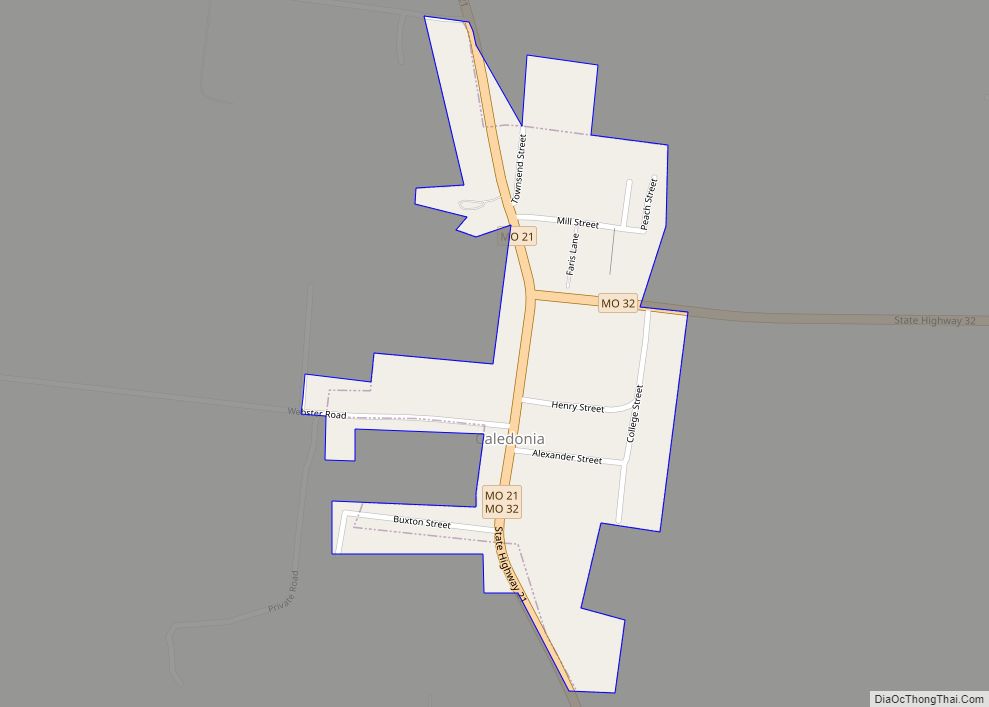
The French explorers Renault and La Motte entered the area of present-day Potosi in 1722–23. However, no permanent settlements were made until 1763, when François Breton settled near Potosi and began to operate a mine bearing his name. The Bellview Valley, near Caledonia and Belgrade, was settled in 1802 by the families of William and Helen Watson Reed, their sons, Robert, Joseph, and Thomas Reed, William Reed’s brother and nephew, Joseph and William Reed, Annanias McCoy, and Benjamin Crow. Washington County was officially organized on August 21, 1813, out of Ste. Genevieve County.
Washington County Road Map
Geography
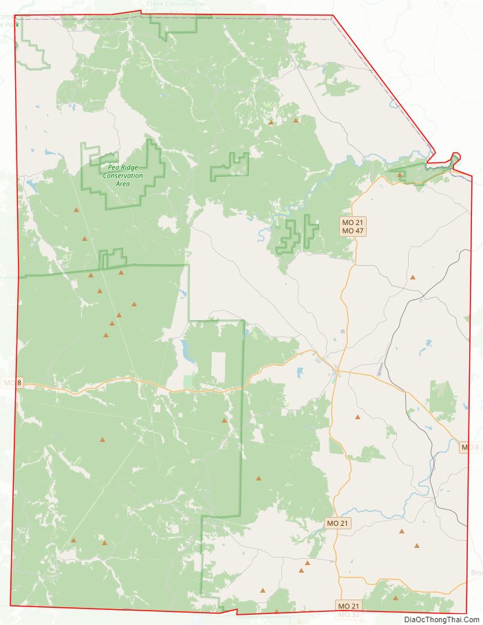
According to the U.S. Census Bureau, the county has a total area of 762 square miles (1,970 km), of which 760 square miles (2,000 km) is land and 2.6 square miles (6.7 km) (0.3%) is water.
Adjacent counties
- Franklin County (north)
- Jefferson County (northeast)
- St. Francois County (east)
- Iron County (south)
- Crawford County (west)
National protected area
- Mark Twain National Forest (part)
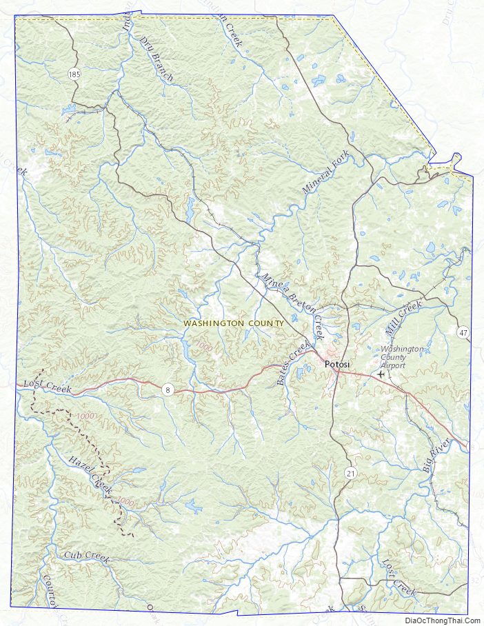
Washington County Topographic Map
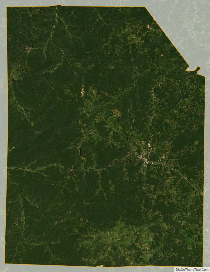
Washington County Satellite Map
Washington County Outline Map