Jefferson County is located in the eastern portion of the state of Missouri. It is a part of the St. Louis Metropolitan Area. As of the 2020 census, the population was 226,739, making it the sixth-most populous county in Missouri. Its county seat is Hillsboro. The county was organized in 1818 and named in honor of former president Thomas Jefferson.
In 1980, according to the U.S. census held that year, the county contained the mean center of U.S. population. Notably, this was the first census in which the center of population was west of the Mississippi River.
Jefferson County is part of the St. Louis Metropolitan Statistical Area and encompasses many of the city’s southern suburbs.
| Name: | Jefferson County |
|---|---|
| FIPS code: | 29-099 |
| State: | Missouri |
| Founded: | 1818 |
| Named for: | Thomas Jefferson |
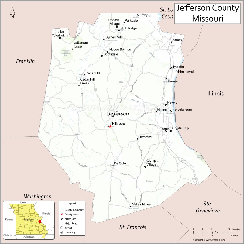
| Seat: | Hillsboro |
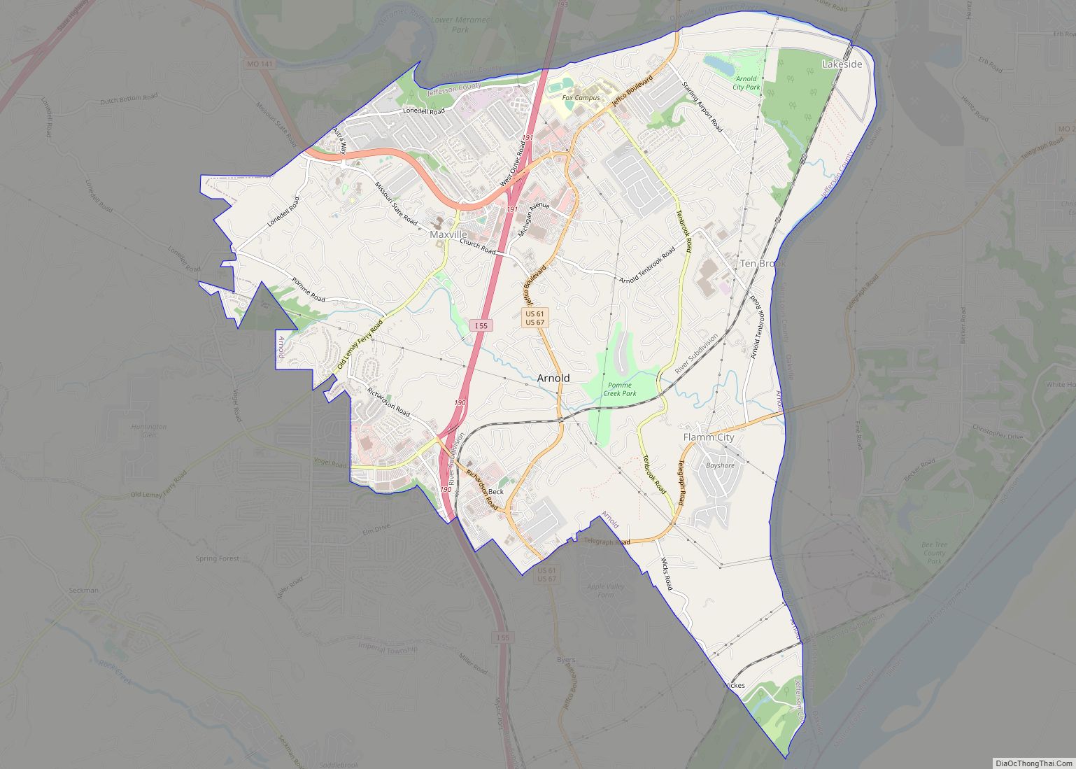
| Largest city: | Arnold |
| Total Area: | 664 sq mi (1,720 km²) |
| Land Area: | 657 sq mi (1,700 km²) |
| Total Population: | 226,739 |
| Population Density: | 340/sq mi (130/km²) |
| Time zone: | UTC−6 (Central) |
| Summer Time Zone (DST): | UTC−5 (CDT) |
| Website: | www.jeffcomo.org |
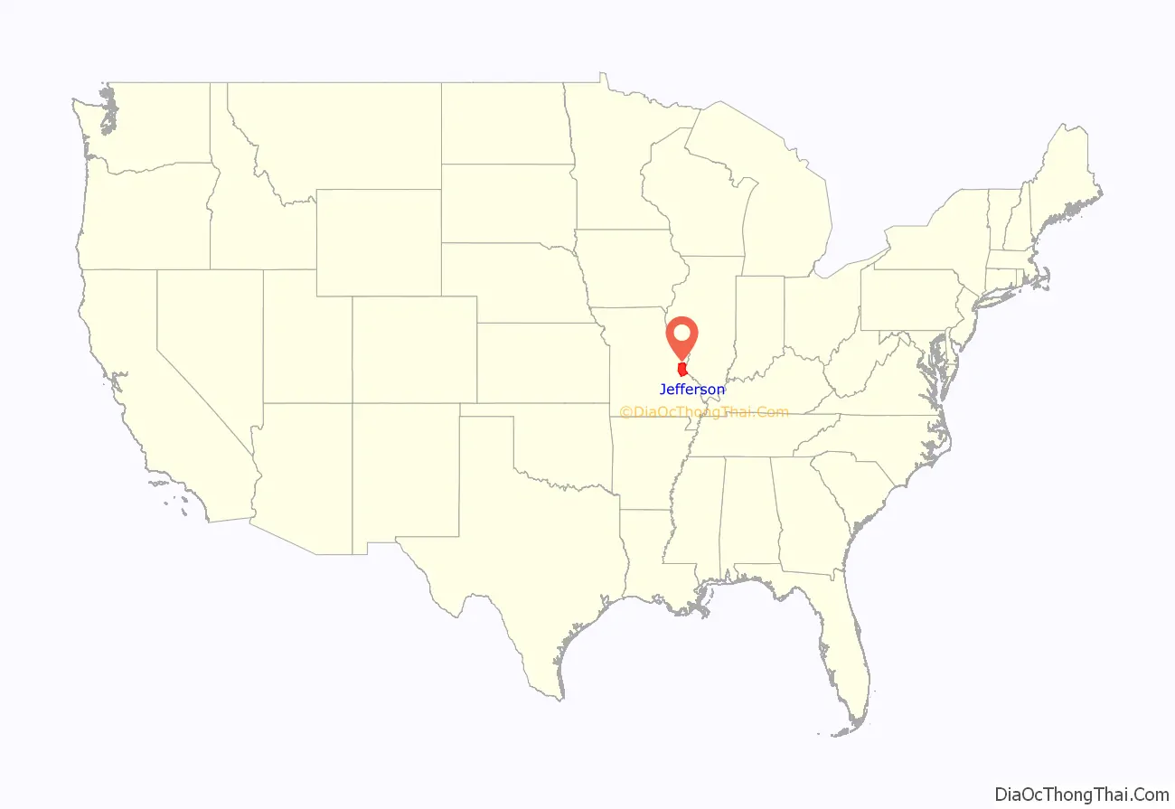
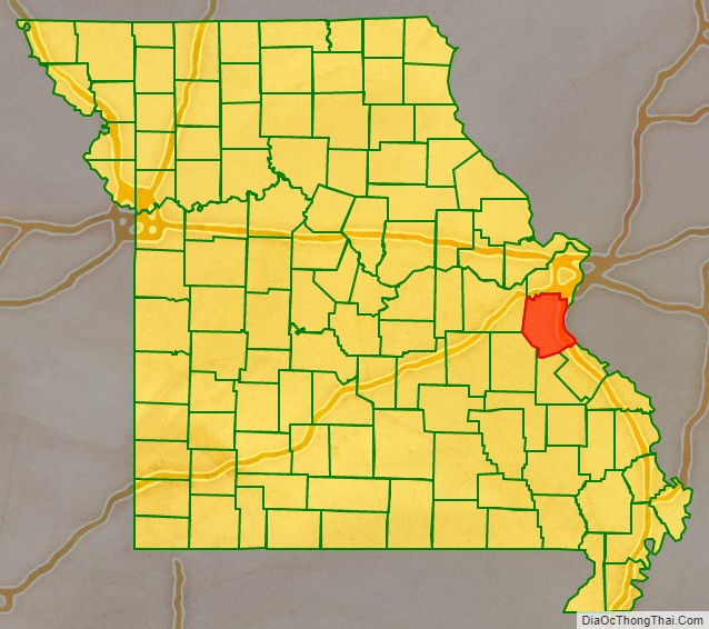
Jefferson County location map. Where is Jefferson County?
Jefferson County Road Map
Geography
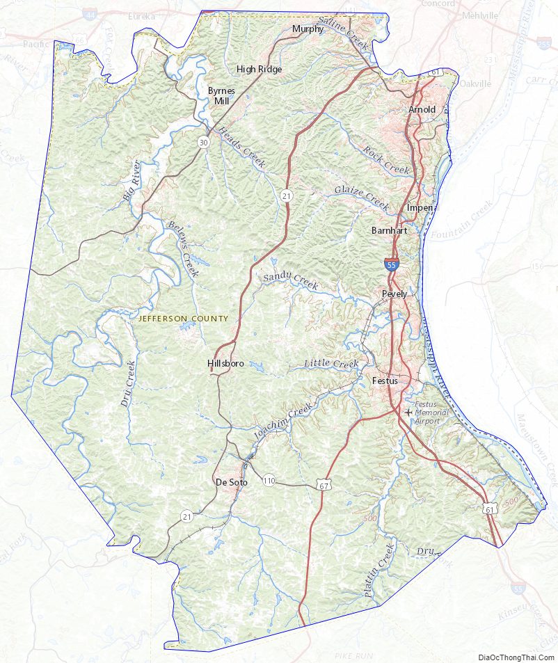
According to the U.S. Census Bureau, the county has a total area of 664 square miles (1,720 km), of which 657 square miles (1,700 km) is land and 7.7 square miles (20 km) (1.2%) is water. The county’s eastern border is the Mississippi River.
Adjacent counties
- St. Louis County (north)
- Monroe County, Illinois (east)
- Ste. Genevieve County (southeast)
- St. Francois County (south)
- Washington County (southwest)
- Franklin County (west)
Major highways
- Interstate 55
- U.S. Route 61
- U.S. Route 67
- Route 21
- Route 30
- Route 109
- Route 110
- Route 141
- Route 231
National protected area
- Middle Mississippi River National Wildlife Refuge (part)
Jefferson County Topographic Map
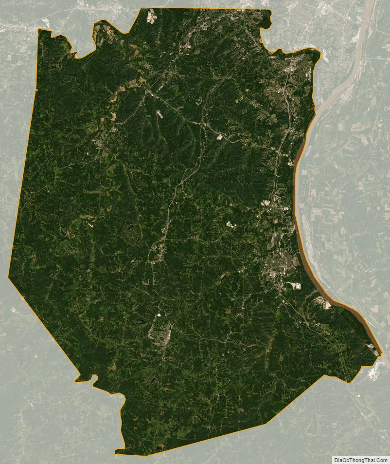
Jefferson County Satellite Map
Jefferson County Outline Map