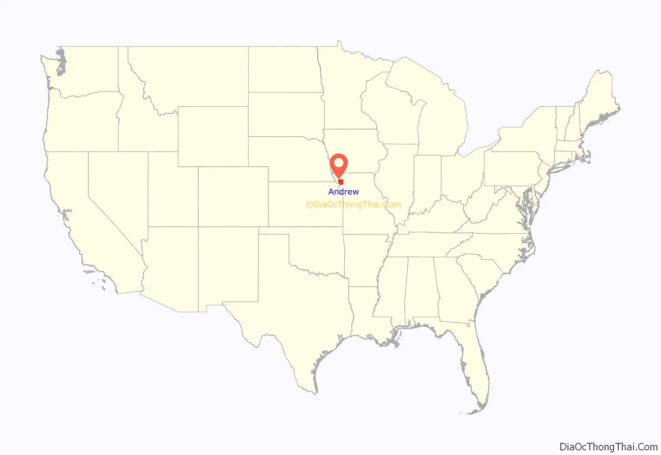
Andrew County is a county located in the northwestern part of the U.S. state of Missouri. As of the 2020 census, the county had a population of 18,135. Its county seat is Savannah. The county was organized January 29, 1841, and named for Andrew Jackson Davis, a lawyer and prominent citizen of St. Louis.
Andrew County is part of the St. Joseph, MO–KS Metropolitan Statistical Area, which is included in the Kansas City–Overland Park–Kansas City Combined statistical area.
| Name: | Andrew County |
|---|---|
| FIPS code: | 29-003 |
| State: | Missouri |
| Founded: | January 29, 1841 |
| Named for: | Andrew Jackson Davis |
| Seat: | Savannah |
| Largest city: | Savannah |
| Total Area: | 436 sq mi (1,130 km²) |
| Land Area: | 433 sq mi (1,120 km²) |
| Total Population: | 18,135 |
| Population Density: | 42/sq mi (16/km²) |
| Time zone: | UTC−6 (Central) |
| Summer Time Zone (DST): | UTC−5 (CDT) |
| Website: | www.andrewcounty.org |
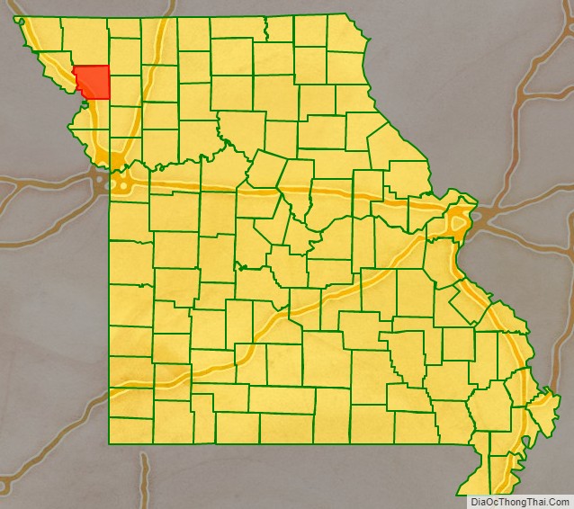
Andrew County location map. Where is Andrew County?
History
The following material is inscribed on a plaque erected by the State Historical Society of Missouri and State Highway Commission in 1960, now located by the Andrew County Courthouse:
Andrew County, organized 1841, is one of six counties in the Indian Platte Purchase Territory annexed to Missouri in 1837. Named for Andrew Jackson Davis, a St. Louis editor, the county was first settled in the middle 1830s. Pioneers were from Ohio, Indiana, Tennessee, Kentucky, Virginia, and other parts of Missouri.
Savannah, the county seat, was laid out in 1841. First briefly called Union, it was renamed for Savannah, Georgia. The Platte County Railroad (CB&Q) reached there in 1860, and today’s Chicago, Great Western in the late 1880s. The town grew as a shipping point and trading center in the post Civil War era.
Divided during the Civil War, Andrew County sent troops to both sides. In August 1861, 1,500 soldiers from Andrew County and other counties joined the pro-Southern Missouri State Guard at Camp Highly in eastern Andrew County while others joined a large Union cap in adjacent Gentry County. In 1861, Union troops seized “Northwest Democrat,” a pro-Southern newspaper, in Savannah and troops from Camp Highly seized the “Plain Dealer,” a Union newspaper. Raiding guerrilla bands overran the county through 1863.
Andrew County’s glacial plains support fertile livestock, grain, and fruit farms. The One Hundred and Two River, along with the Platte River, are located in the county. Its western border is formed by the Nodaway and Missouri rivers. In 1804 the Lewis and Clark Expedition camped on an island at the mouth of the Nodaway River. Members of fur trader W. Price Hunt’s 1811 Astorian expedition wintered near the river’s mouth as well.
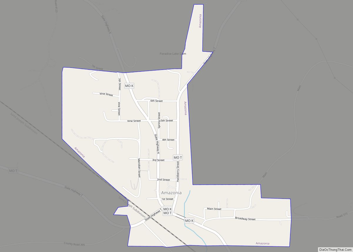
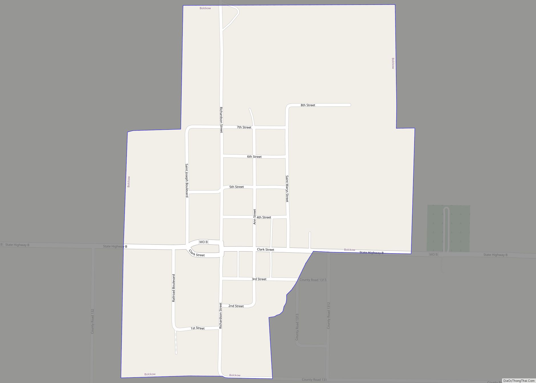
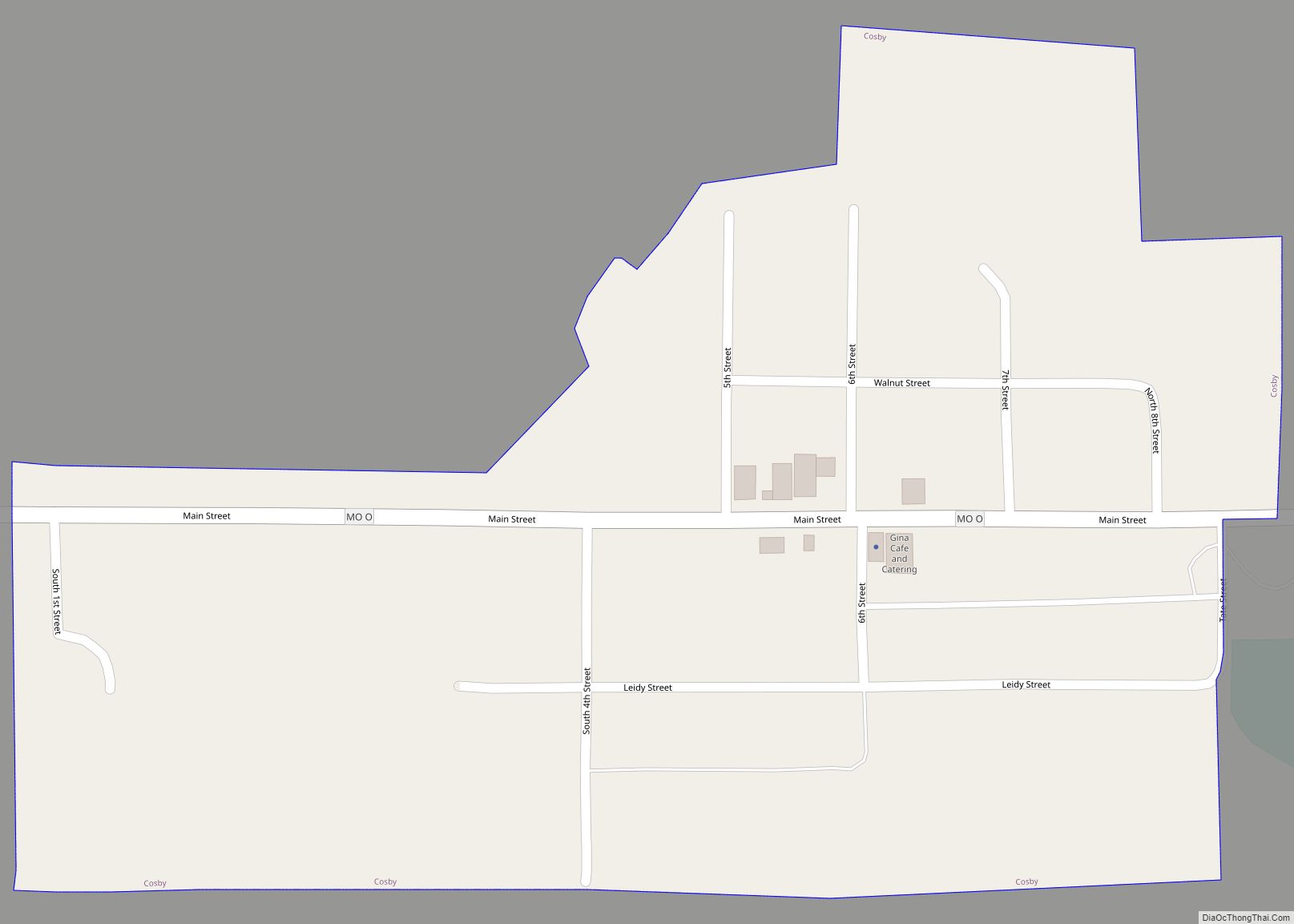
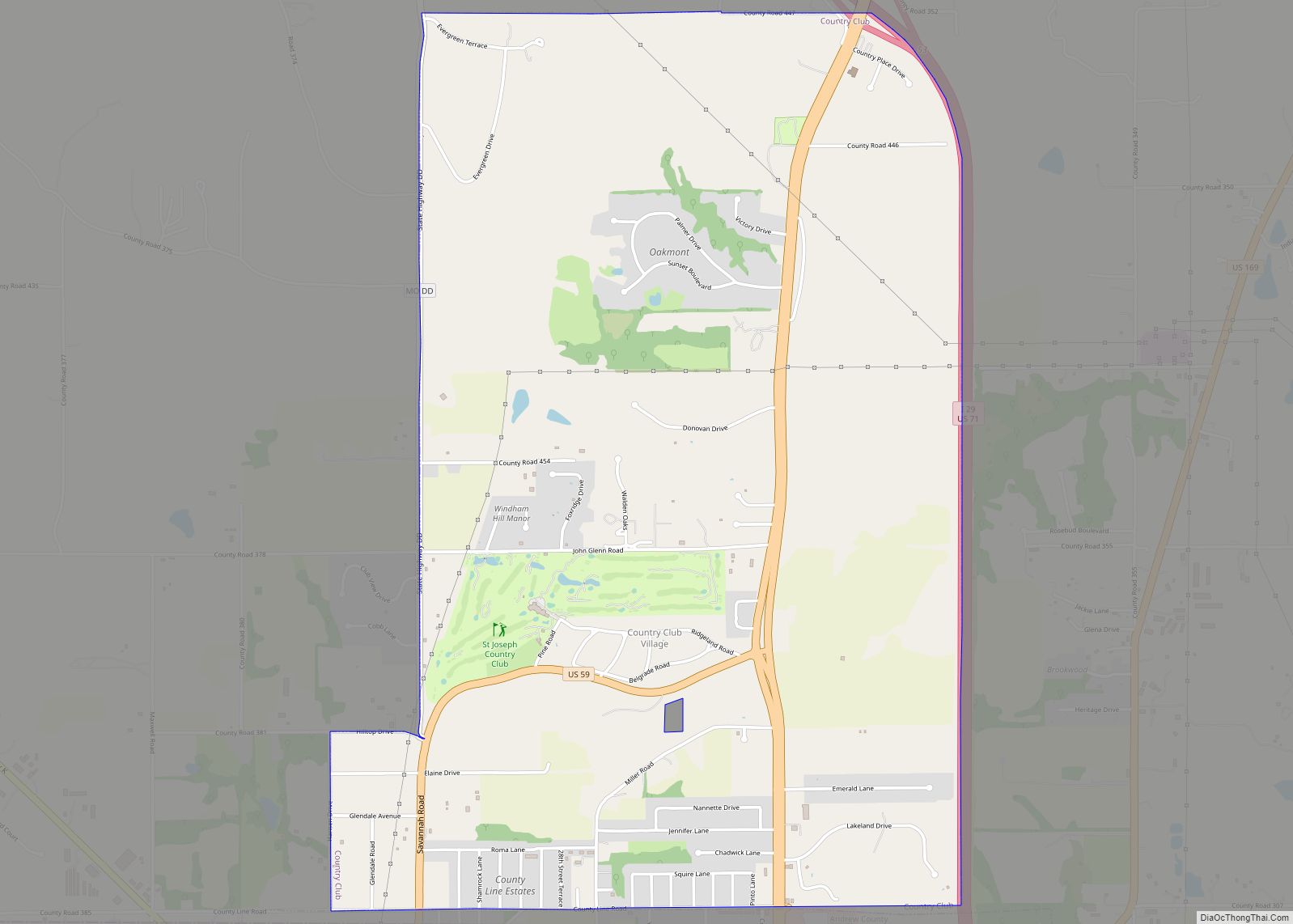
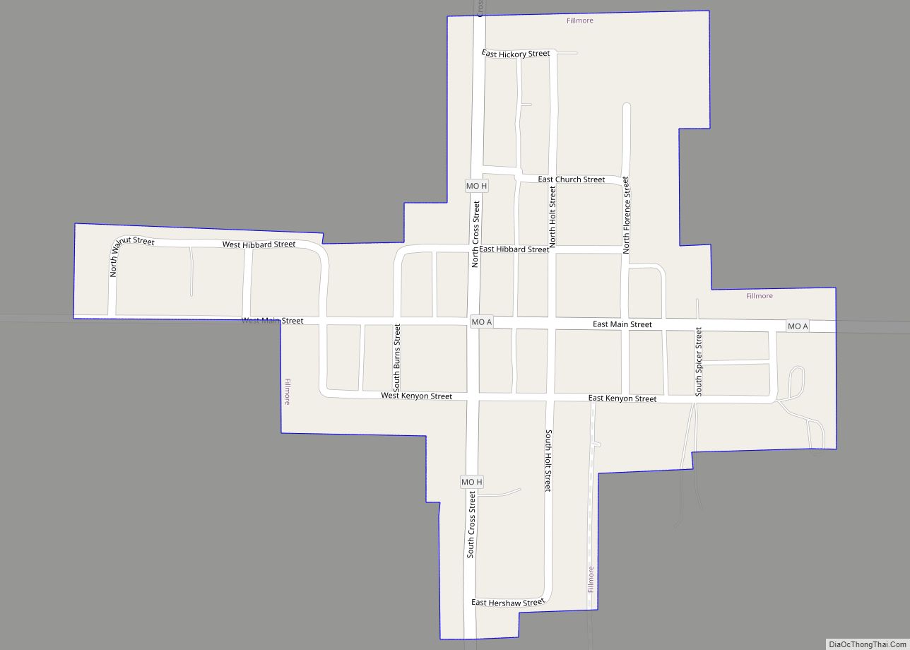
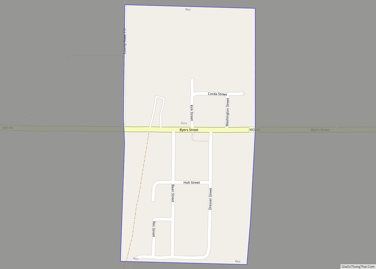
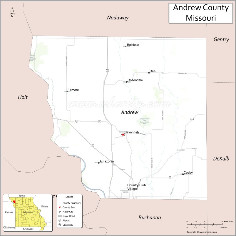
Among the towns located in Andrew County are Amazonia, once on the Missouri River, now inland, laid out in 1857 near the site of Nodaway City, an early river port; Fillmore, established in 1845; Whitesville, established in 1848; Rochester, established in 1848; Bolckow, established in 1868; Rosendale, established in 1869; Rea, established in 1877; Helena, established in 1878; and Cosby, established in 1882.
The Andrew County Museum & Historical Society celebrates the history of Andrew County through exhibits, programs, publications, and special events. The museum and society collects, preserves, researches, and interprets documents and artifacts to promote the appreciation and preservation of the county’s history and bring history to life in Andrew County.
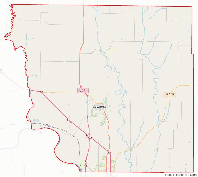
Andrew County Road Map
Geography
According to the U.S. Census Bureau, the county has a total area of 436 square miles (1,130 km), of which 433 square miles (1,120 km) is land and 3.7 square miles (9.6 km) (0.9%) is water.
Adjacent counties
- Nodaway County (north)
- Gentry County (northeast)
- DeKalb County (east)
- Buchanan County (south)
- Doniphan County, Kansas (southwest)
- Holt County (west)
Major highways
- Interstate 29
- Interstate 229
- U.S. Route 59
- U.S. Route 71
- U.S. Route 169
- Route 48
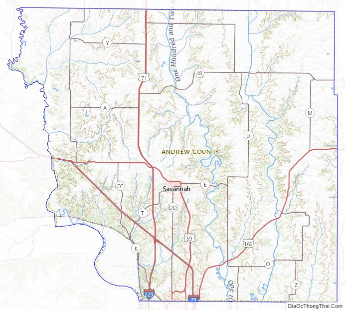
Andrew County Topographic Map
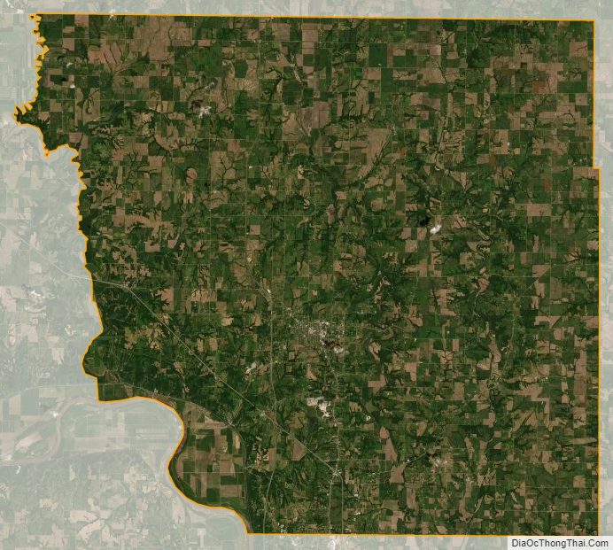
Andrew County Satellite Map
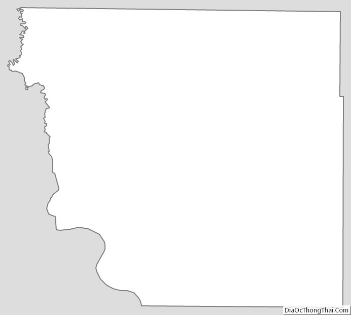
Andrew County Outline Map