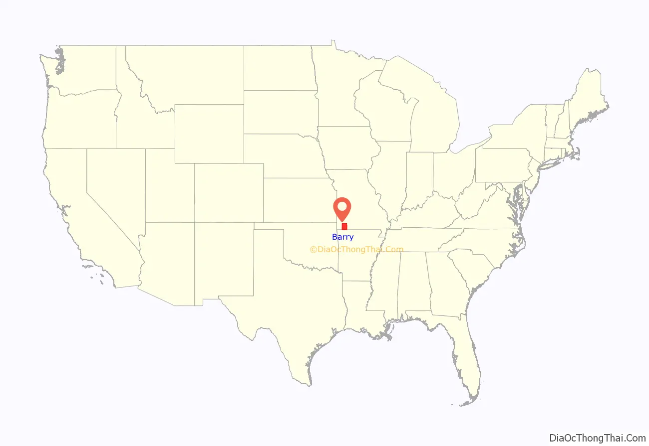
Name: | Barry County |
---|---|
FIPS code: | 29-009 |
State: | Missouri |
Founded: | January 5, 1835 |
Named for: | William Taylor Barry |
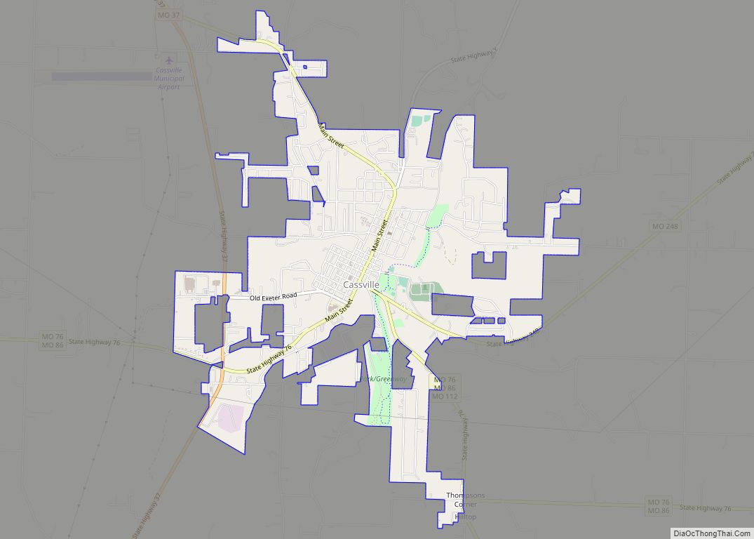
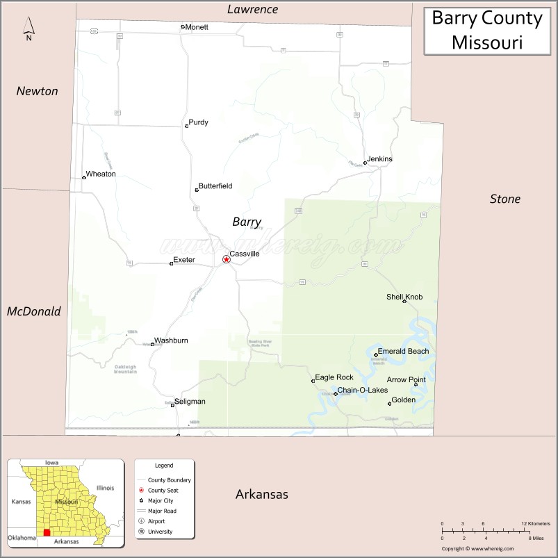
Seat: | Cassville |
Largest city: | Monett |
Total Area: | 791 sq mi (2,050 km²) |
Land Area: | 778 sq mi (2,020 km²) |
Total Population: | 34,534 |
Population Density: | 44/sq mi (17/km²) |
Time zone: | UTC−6 (Central) |
Summer Time Zone (DST): | UTC−5 (CDT) |
Barry County location map. Where is Barry County?
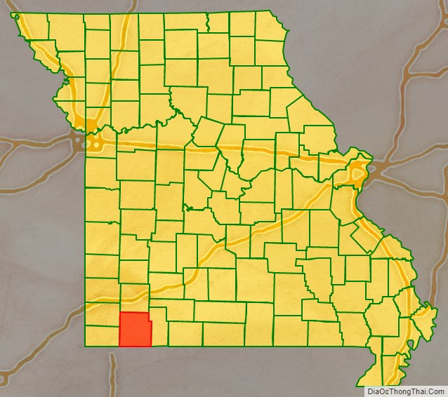
Barry County Road Map
Geography
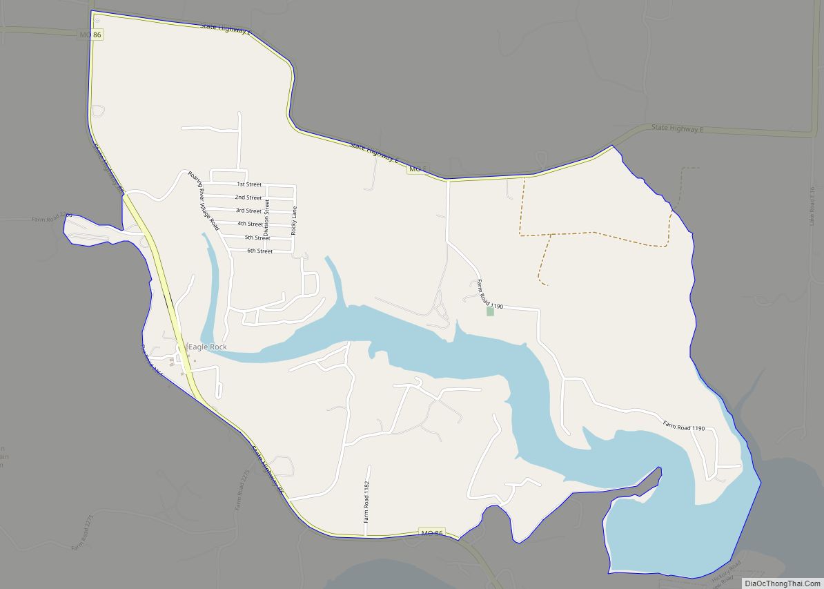
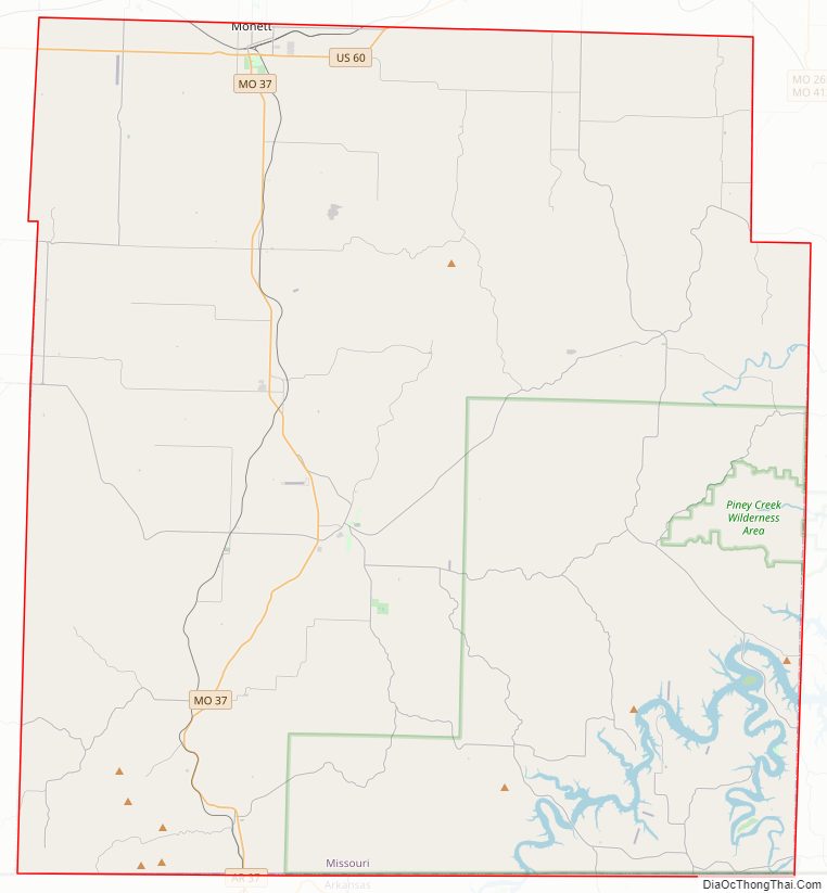
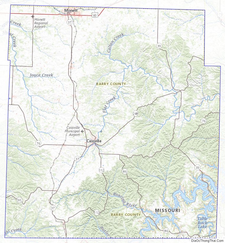
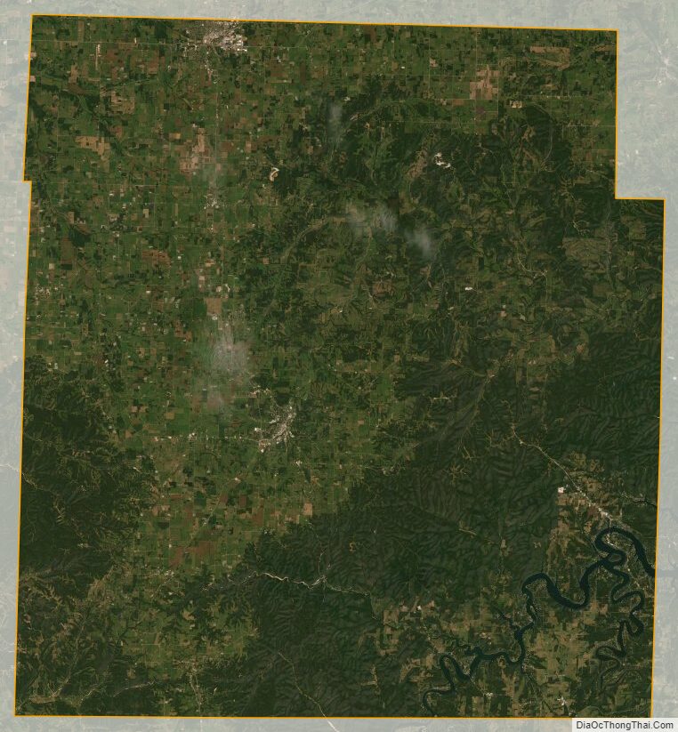
According to the U.S. Census Bureau, the county has a total area of 791 square miles (2,050 km), of which 778 square miles (2,020 km) is land and 13 square miles (34 km) (1.6%) is water. Roaring River State Park is located in the southern part of the county, amid the Mark Twain National Forest.
Adjacent counties
- Lawrence County (north)
- Stone County (east)
- Carroll County, Arkansas (southeast)
- Benton County, Arkansas (south)
- McDonald County (southwest)
- Newton County (northwest)
Major highways
- U.S. Route 60
- Route 37
- Route 39
- Route 76
- Route 86
- Route 97
- Route 248
National protected area
- Mark Twain National Forest (part)
Barry County Topographic Map
Barry County Satellite Map
Barry County Outline Map
See also
Map of Missouri State and its subdivision:- Adair
- Andrew
- Atchison
- Audrain
- Barry
- Barton
- Bates
- Benton
- Bollinger
- Boone
- Buchanan
- Butler
- Caldwell
- Callaway
- Camden
- Cape Girardeau
- Carroll
- Carter
- Cass
- Cedar
- Chariton
- Christian
- Clark
- Clay
- Clinton
- Cole
- Cooper
- Crawford
- Dade
- Dallas
- Daviess
- De Kalb
- Dent
- Douglas
- Dunklin
- Franklin
- Gasconade
- Gentry
- Greene
- Grundy
- Harrison
- Henry
- Hickory
- Holt
- Howard
- Howell
- Iron
- Jackson
- Jasper
- Jefferson
- Johnson
- Knox
- Laclede
- Lafayette
- Lawrence
- Lewis
- Lincoln
- Linn
- Livingston
- Macon
- Madison
- Maries
- Marion
- McDonald
- Mercer
- Miller
- Mississippi
- Moniteau
- Monroe
- Montgomery
- Morgan
- New Madrid
- Newton
- Nodaway
- Oregon
- Osage
- Ozark
- Pemiscot
- Perry
- Pettis
- Phelps
- Pike
- Platte
- Polk
- Pulaski
- Putnam
- Ralls
- Randolph
- Ray
- Reynolds
- Ripley
- Saint Charles
- Saint Clair
- Saint Francois
- Saint Louis
- Sainte Genevieve
- Saline
- Schuyler
- Scotland
- Scott
- Shannon
- Shelby
- Stoddard
- Stone
- Sullivan
- Taney
- Texas
- Vernon
- Warren
- Washington
- Wayne
- Webster
- Worth
- Wright
- Alabama
- Alaska
- Arizona
- Arkansas
- California
- Colorado
- Connecticut
- Delaware
- District of Columbia
- Florida
- Georgia
- Hawaii
- Idaho
- Illinois
- Indiana
- Iowa
- Kansas
- Kentucky
- Louisiana
- Maine
- Maryland
- Massachusetts
- Michigan
- Minnesota
- Mississippi
- Missouri
- Montana
- Nebraska
- Nevada
- New Hampshire
- New Jersey
- New Mexico
- New York
- North Carolina
- North Dakota
- Ohio
- Oklahoma
- Oregon
- Pennsylvania
- Rhode Island
- South Carolina
- South Dakota
- Tennessee
- Texas
- Utah
- Vermont
- Virginia
- Washington
- West Virginia
- Wisconsin
- Wyoming