Audrain County is a county located in the central part of the U.S. state of Missouri. As of the 2020 census, the population was 24,962. Its county seat is Mexico. The county was organized December 13, 1836, and named for Colonel James Hunter Audrain of the War of 1812 and who later was elected to the state legislature.
| Name: | Audrain County |
|---|---|
| FIPS code: | 29-007 |
| State: | Missouri |
| Founded: | December 17, 1836 |
| Named for: | James Hunter Audrain |
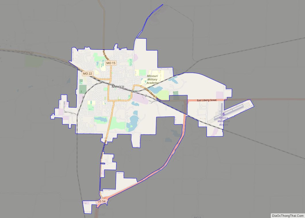
| Seat: | Mexico |
| Largest city: | Mexico |
| Total Area: | 697 sq mi (1,810 km²) |
| Land Area: | 692 sq mi (1,790 km²) |
| Total Population: | 24,962 |
| Population Density: | 36/sq mi (14/km²) |
| Time zone: | UTC−6 (Central) |
| Summer Time Zone (DST): | UTC−5 (CDT) |
| Website: | www.audraincounty.org |
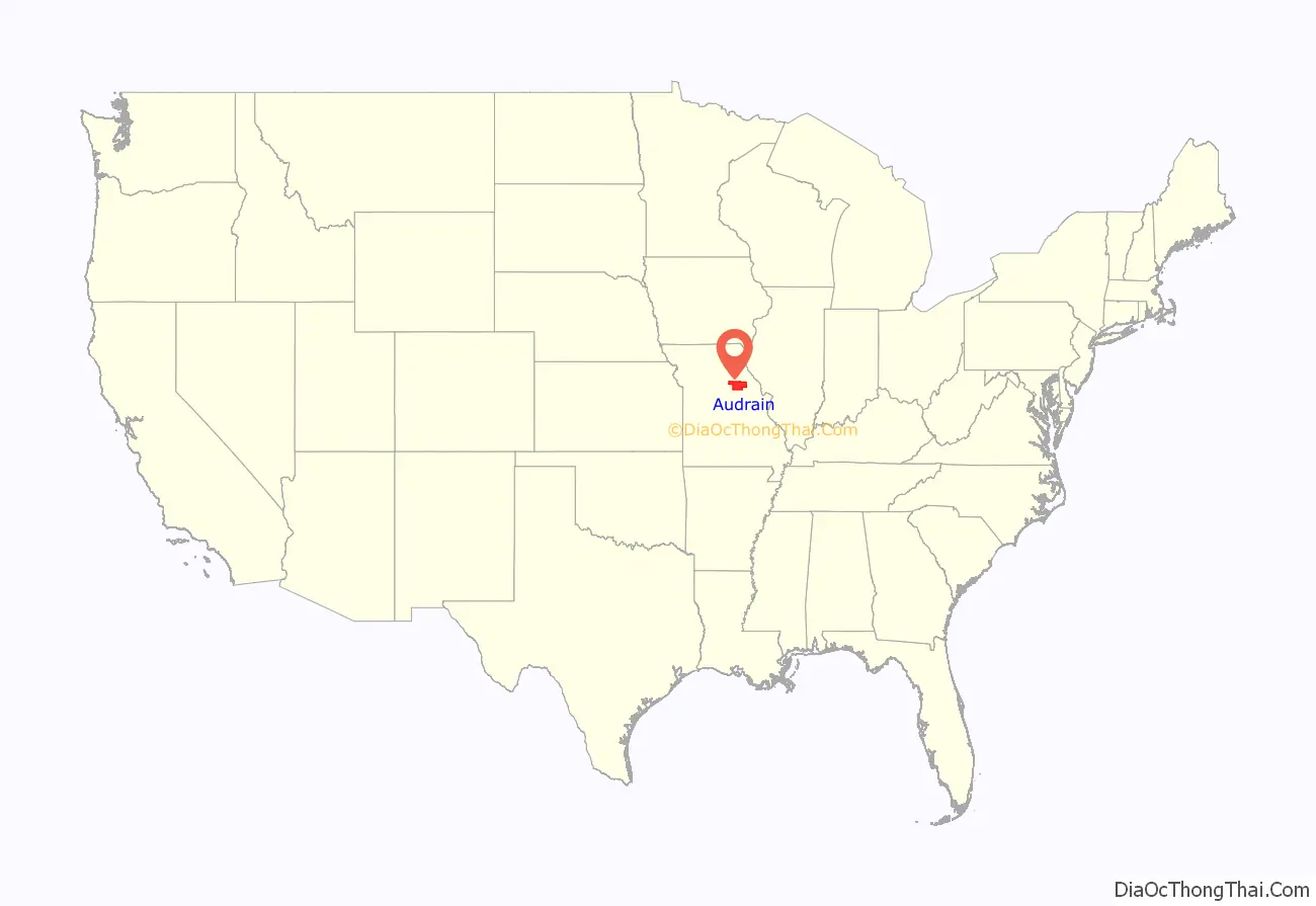
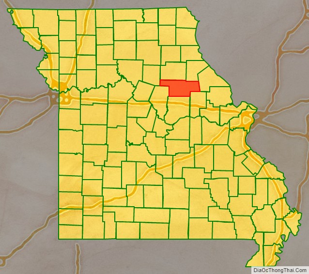
Audrain County location map. Where is Audrain County?
History
Audrain county was formed from a non-county area with portions under the administration of Montgomery, Callaway, Boone, Ralls, or Monroe counties at various times prior to its official establishment in 1836. Thus, records for locations now in Audrain prior to 1836 may indicate location in those counties instead. Some details have been summarized on the website of the Northeast Missouri Genealogy Village, and a dynamic map showing some of the changes is on the ‘mapgeeks’ website showing historical maps of the states of the United States. (See ‘External Links’ below.)
Today’s Audrain County historical website data (see ‘External Links’ below) indicates that the county was divided about 50/50 during the historic US Civil War and that US Army Commander General Ulysses Grant was resident there briefly during that time. While Audrain county shared some history with neighboring counties, it does not border the Missouri River.
According to some Confederate historian publications, Audrain County was one of several nearby counties settled by migrants from the Upper South, especially Kentucky and Tennessee; that some brought slaves and slaveholding traditions with them, cultivating crops similar to those in Middle Tennessee and Kentucky such as hemp and tobacco, or brought antebellum architecture and culture; and that the county was considered by those historians to be in the heart of what was called “Little Dixie”.
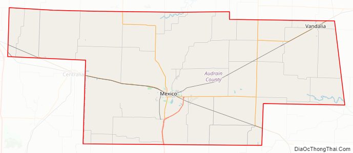
Audrain County Road Map
Geography
According to the United States Census Bureau, the county has a total area of 697 square miles (1,810 km), of which 692 square miles (1,790 km) is land and 4.6 square miles (12 km) (0.7%) is water.
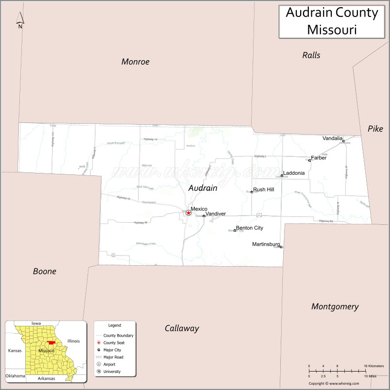
Adjacent counties
- Monroe County (north)
- Ralls County (northeast)
- Pike County (east)
- Montgomery County (southeast)
- Callaway County (south)
- Boone County (southwest)
- Randolph County (northwest)
Major highways
- U.S. Route 54
U.S. Route 54 Business- Route 15
- Route 19
- Route 22
- Route 151
Audrain County Topographic Map
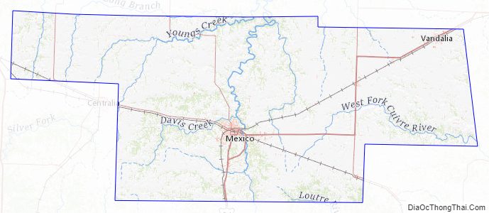
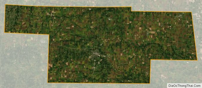
Audrain County Satellite Map
Audrain County Outline Map