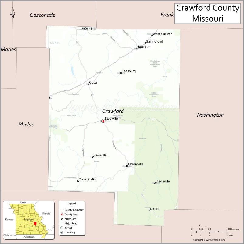
Crawford County is a county located in the east-central portion of the U.S. state of Missouri. At the 2010 Census, the population was 24,696. Its county seat is Steelville. The county was organized in 1829 and is named after U.S. Senator William H. Crawford of Georgia.
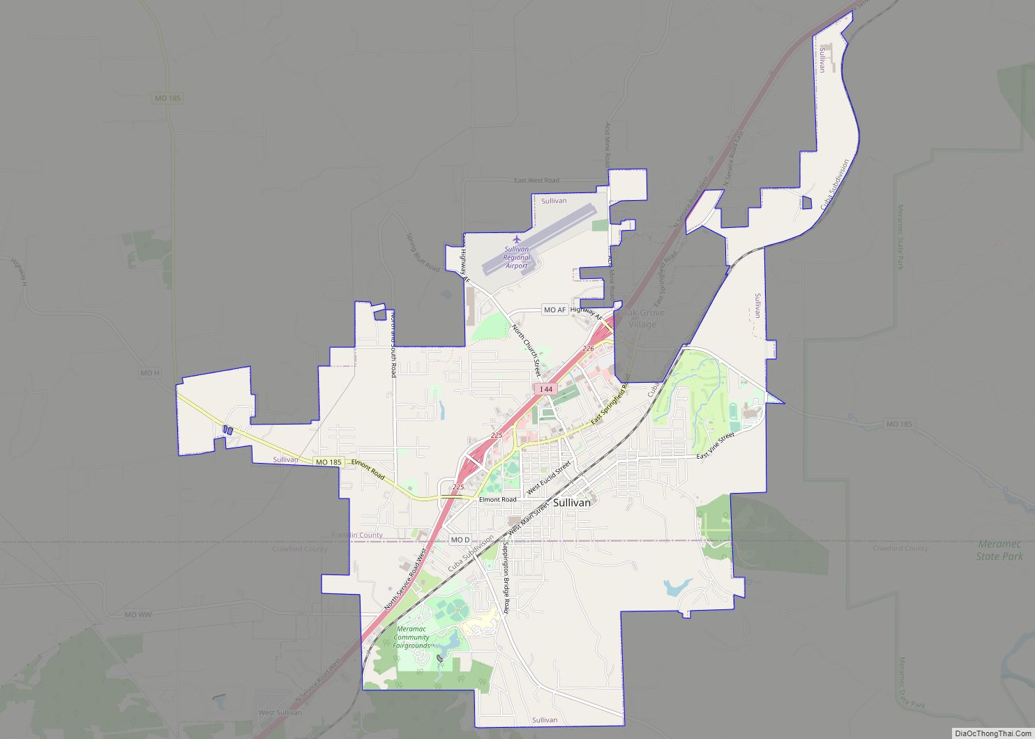
The section of Sullivan which is located in Crawford County is included in the St. Louis, MO-IL Metropolitan Statistical Area.
In 1990, the mean center of U.S. population was located in southwestern Crawford County.
| Name: | Crawford County |
|---|---|
| FIPS code: | 29-055 |
| State: | Missouri |
| Founded: | January 23, 1829 |
| Named for: | William H. Crawford |
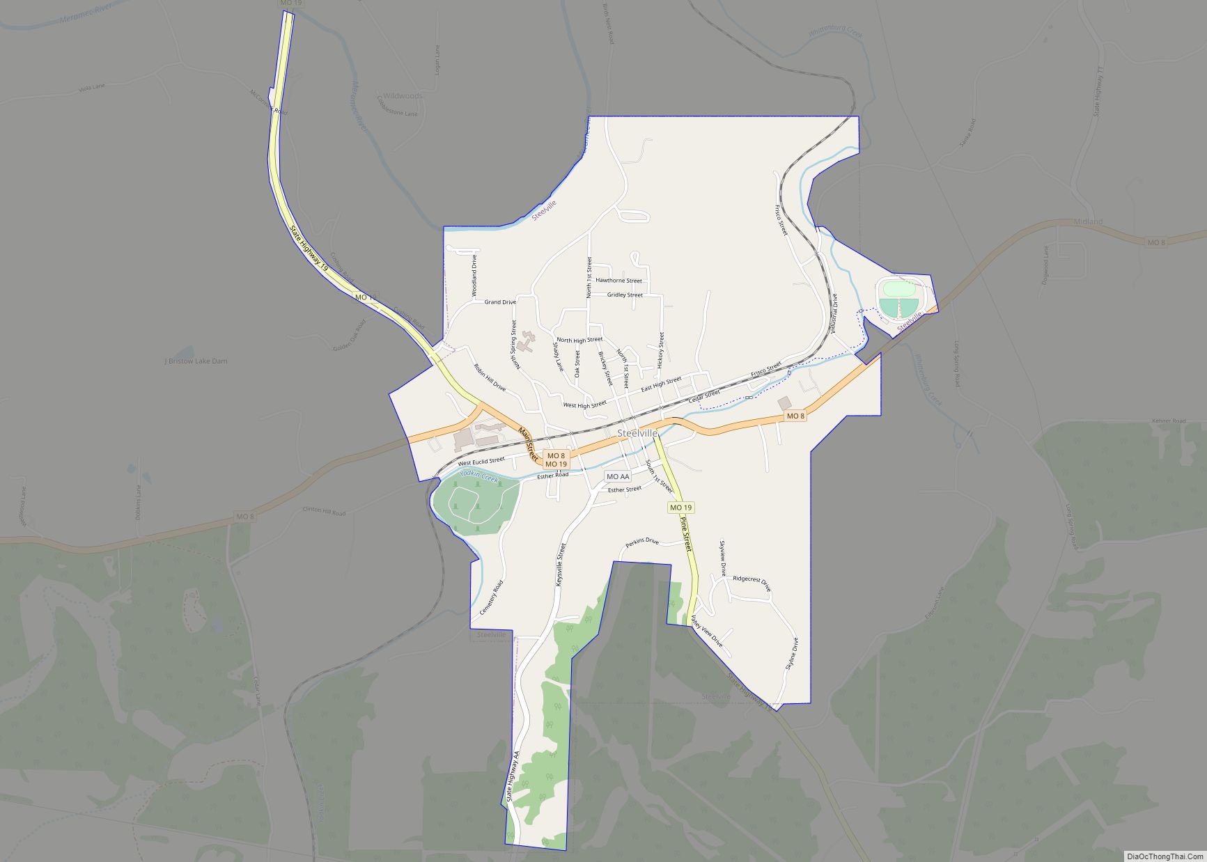
| Seat: | Steelville |
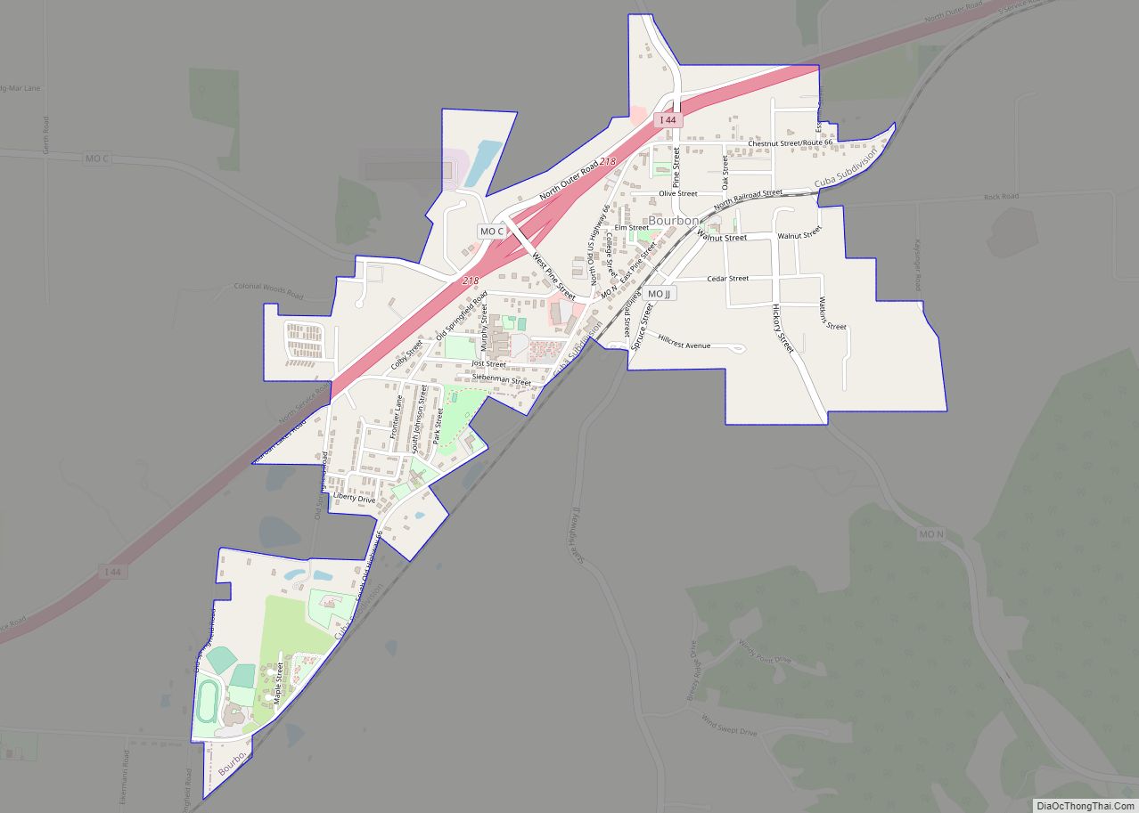
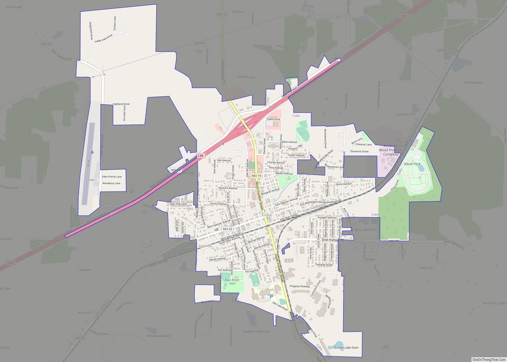
| Largest city: | Cuba |
| Total Area: | 744 sq mi (1,930 km²) |
| Land Area: | 743 sq mi (1,920 km²) |
| Total Population: | 24,696 |
| Population Density: | 33/sq mi (13/km²) |
| Time zone: | UTC−6 (Central) |
| Summer Time Zone (DST): | UTC−5 (CDT) |
| Website: | crawfordcountymo.net |
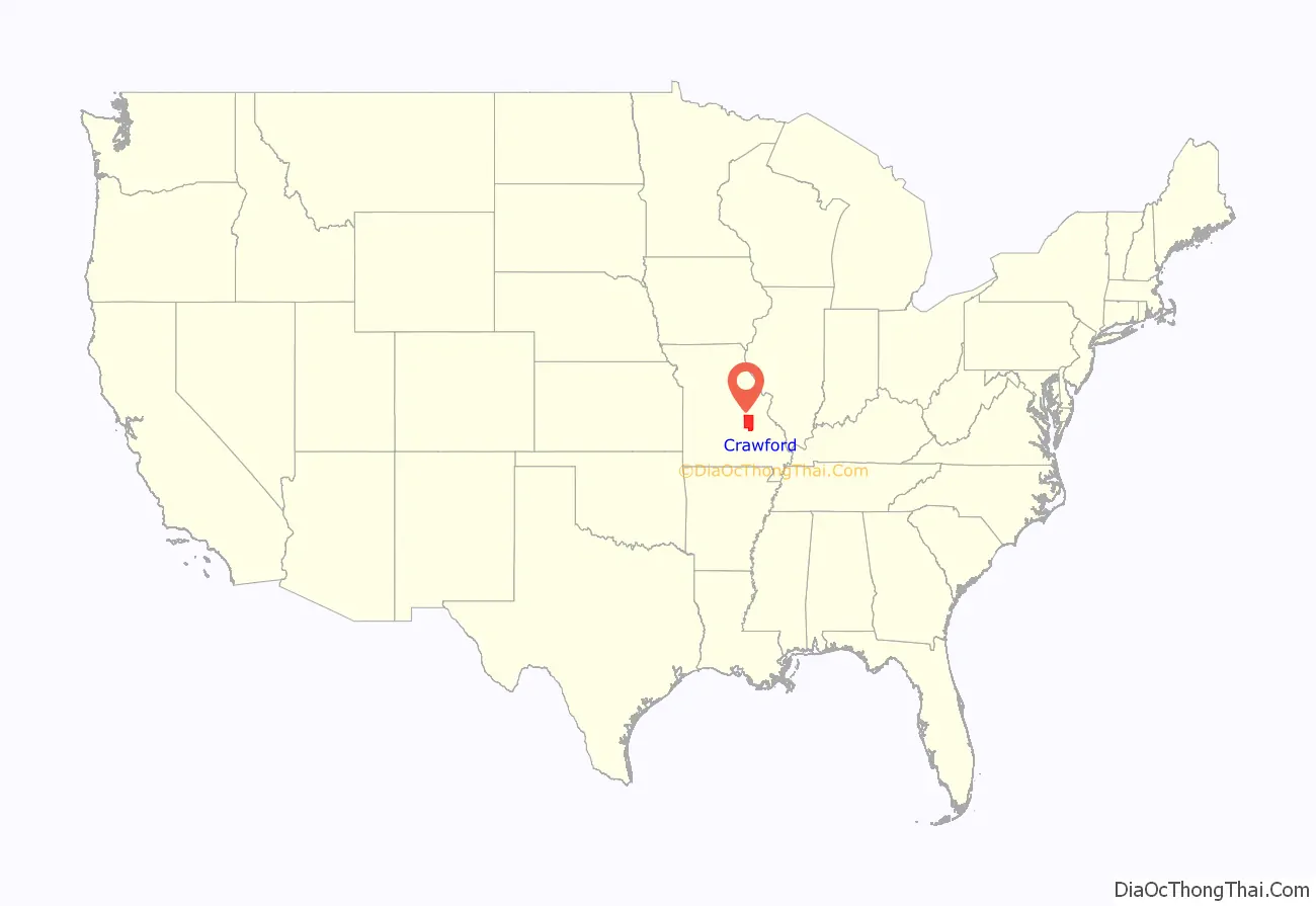
Crawford County location map. Where is Crawford County?
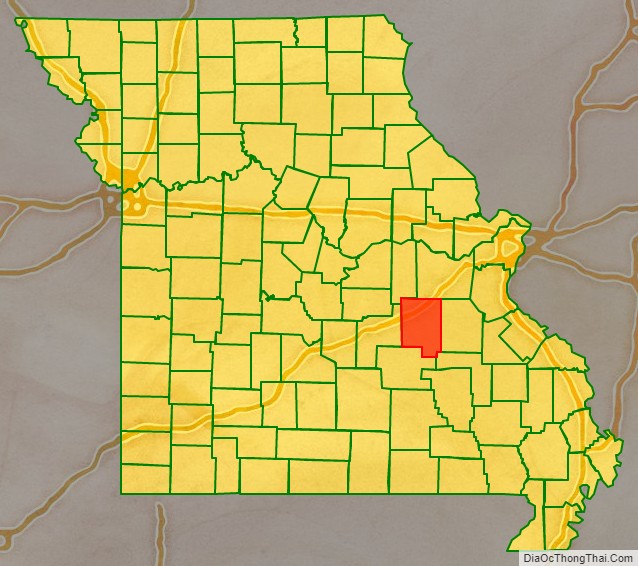
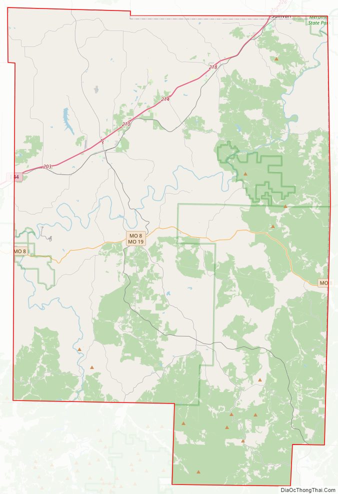
Crawford County Road Map
Geography
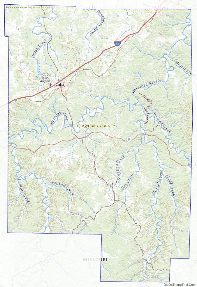
According to the U.S. Census Bureau, the county has a total area of 744 square miles (1,930 km), of which 743 square miles (1,920 km) is land and 1.2 square miles (3.1 km) (0.2%) is water.
Adjacent counties
- Franklin County (north)
- Washington County (east)
- Iron County (southeast)
- Dent County (south)
- Phelps County (west)
- Gasconade County (northwest)
Major highways
- Interstate 44
- U.S. Route 66 (1926–1979)
- Route 8
- Route 19
- Route 49
National protected area
- Mark Twain National Forest (part)
Crawford County Topographic Map
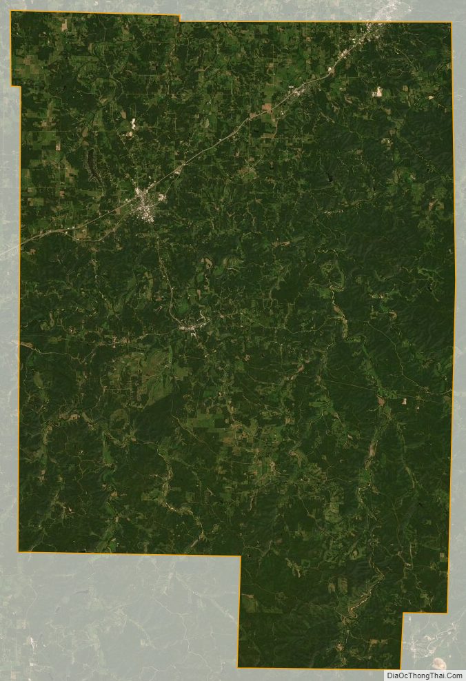
Crawford County Satellite Map
Crawford County Outline Map