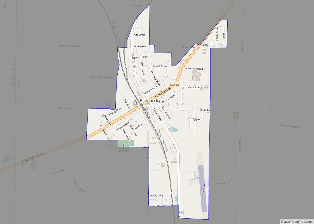
St. Francois County (/ˈfrænsɪs/) is a county located in the Lead Belt region in the U.S. state of Missouri. As of the 2020 census, the population was 66,922. The largest city and county seat is Farmington. The county was officially organized on December 19, 1821. It was named after the St. Francis River. The origin of the river’s name is unclear. It might refer to St. Francis of Assisi. Another possibility is that Jacques Marquette, a Jesuit who explored the region in 1673, named the river for the Jesuit missionary Francis Xavier. Marquette had spent some time at the mission of St. François Xavier before his voyage and, as a Jesuit, was unlikely to have given the river a name honoring the Franciscans.
St. Francois County comprises the Farmington, MO Micropolitan Statistical Area, which is also included in the St. Louis–St. Charles-Farmington, MO-IL Combined Statistical Area.
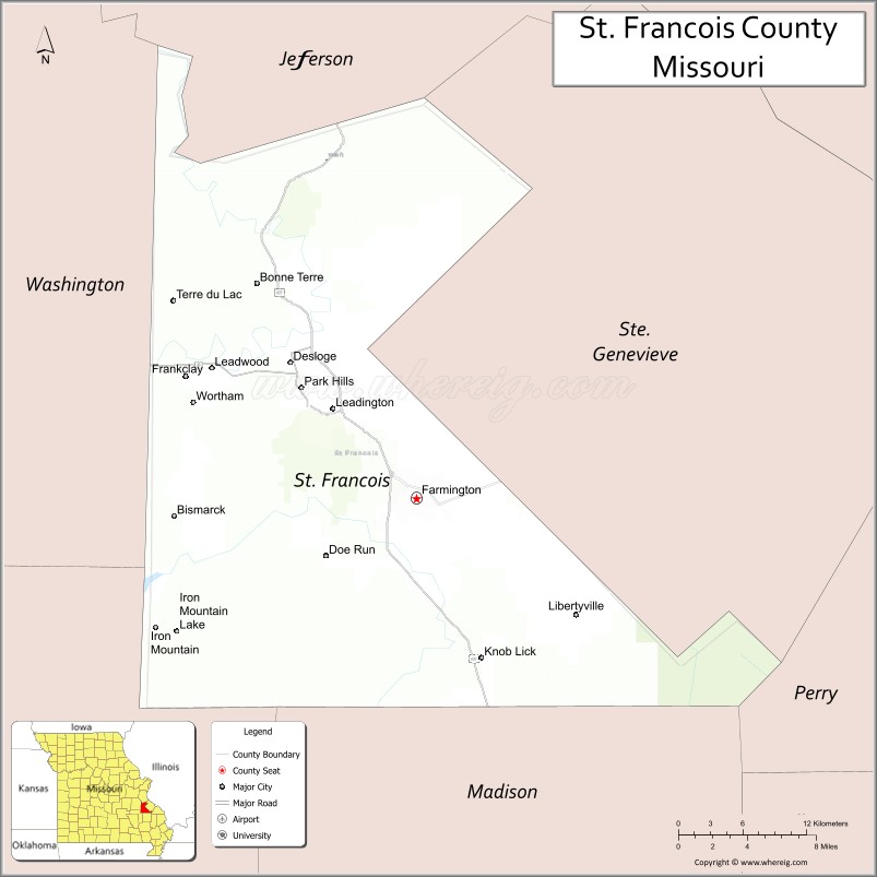
| Name: | St. Francois County |
|---|---|
| FIPS code: | 29-187 |
| State: | Missouri |
| Founded: | December 19, 1821 |
| Named for: | St. Francis River |
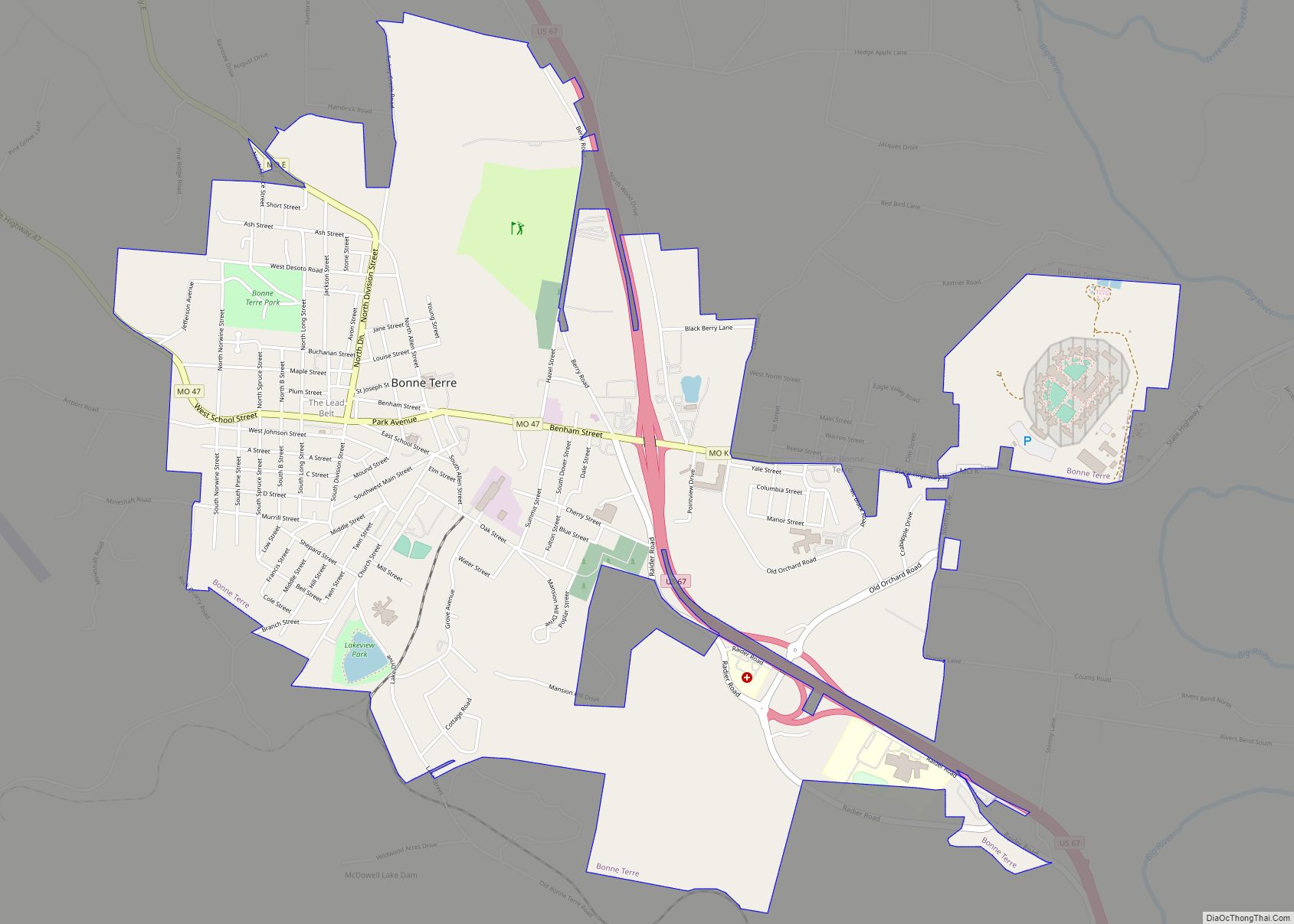
| Seat: | Farmington |
| Largest city: | Farmington |
| Total Area: | 455 sq mi (1,180 km²) |
| Land Area: | 452 sq mi (1,170 km²) |
| Total Population: | 66,922 |
| Population Density: | 150/sq mi (57/km²) |
| Time zone: | UTC−6 (Central) |
| Summer Time Zone (DST): | UTC−5 (CDT) |
| Website: | www.sfcgov.org |
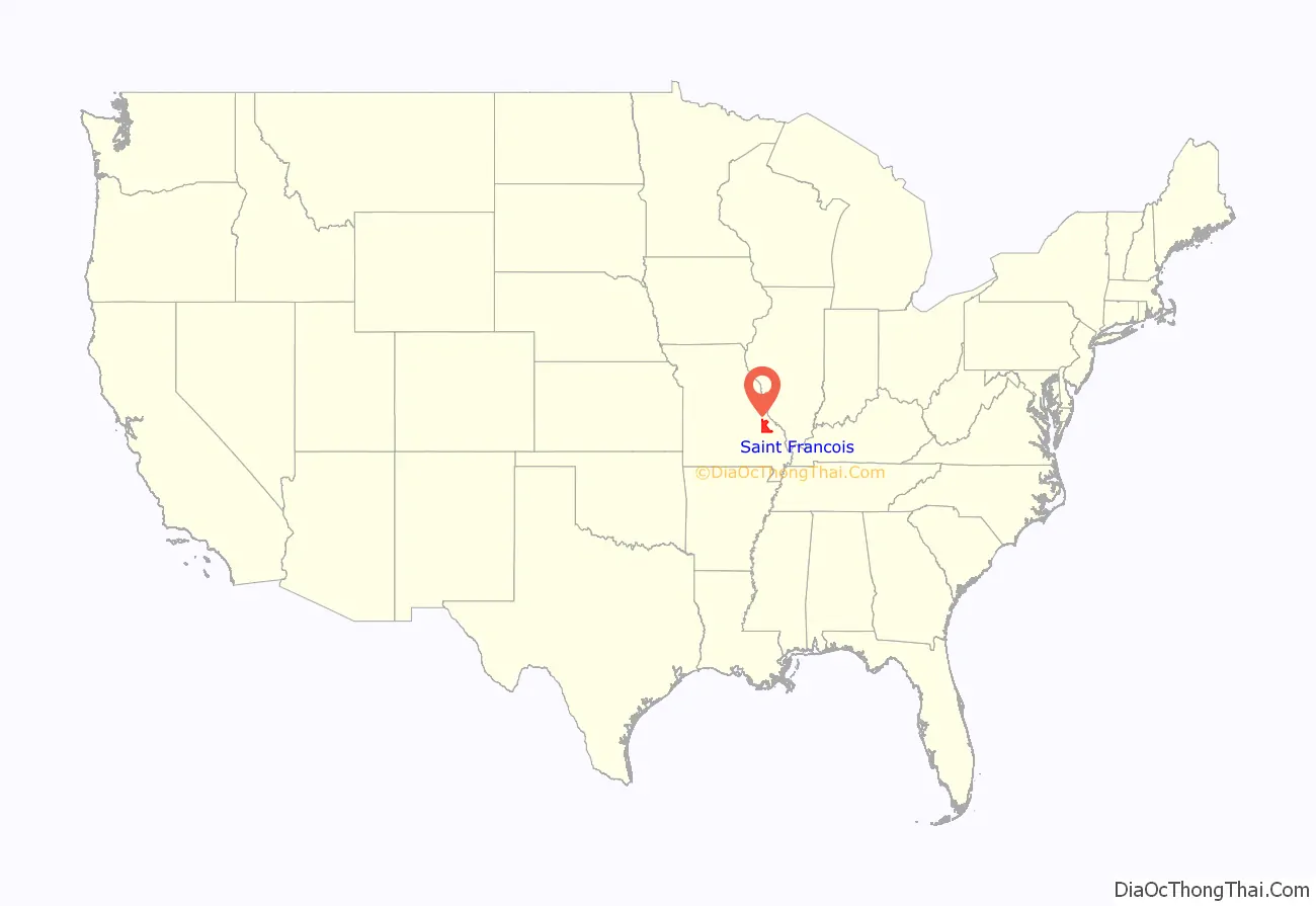
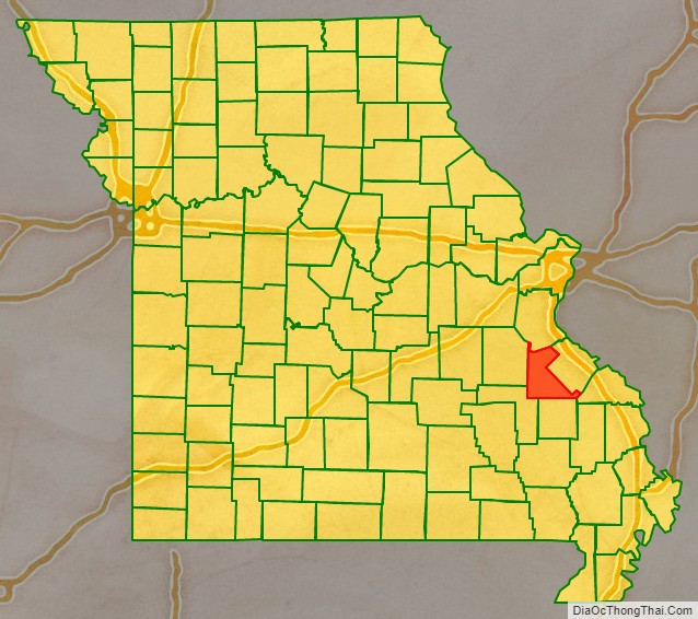
St. Francois County location map. Where is St. Francois County?
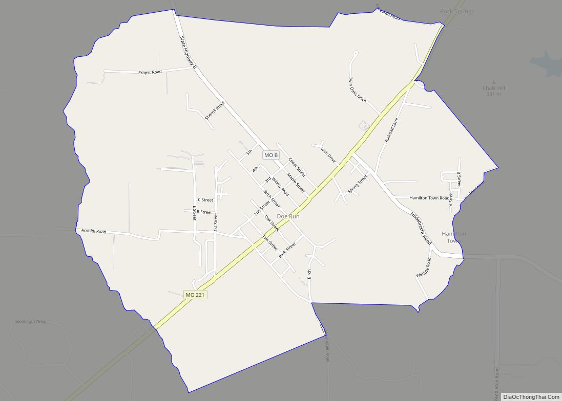
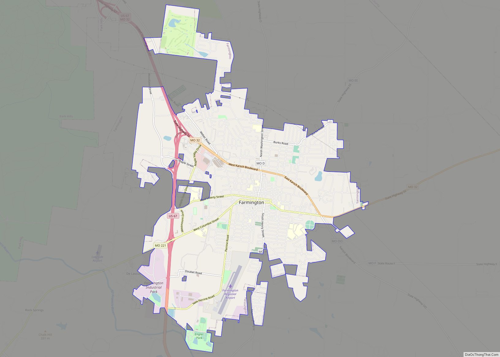
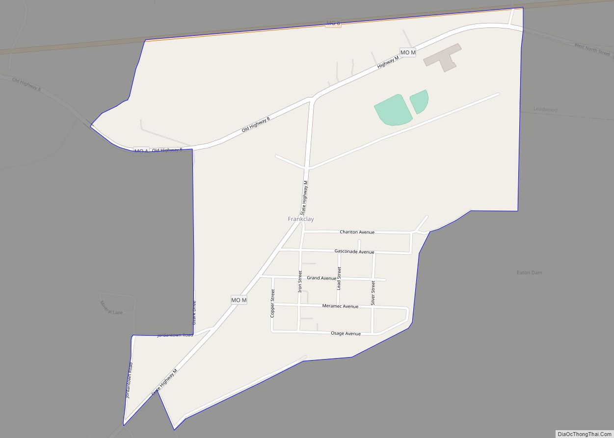
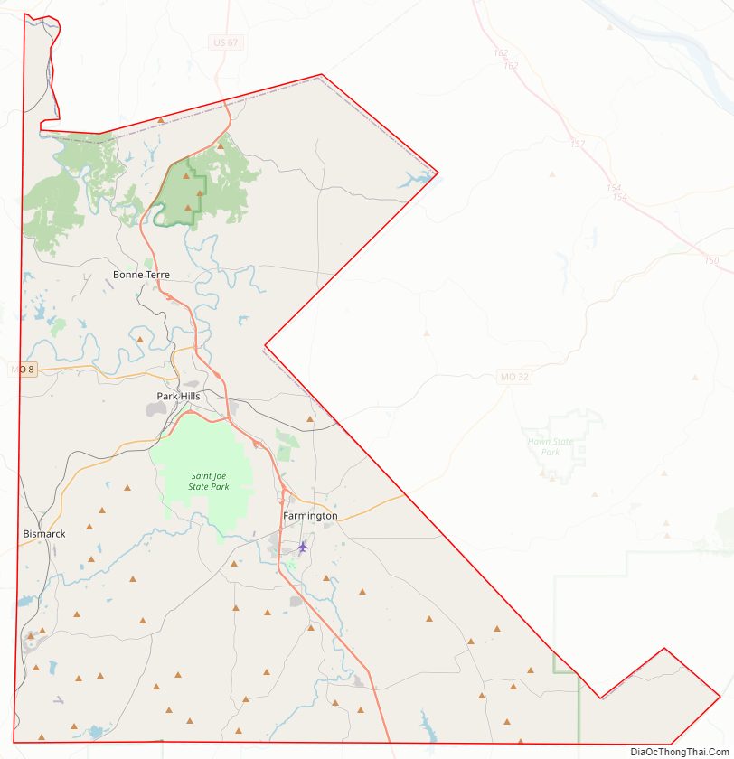
St. Francois County Road Map
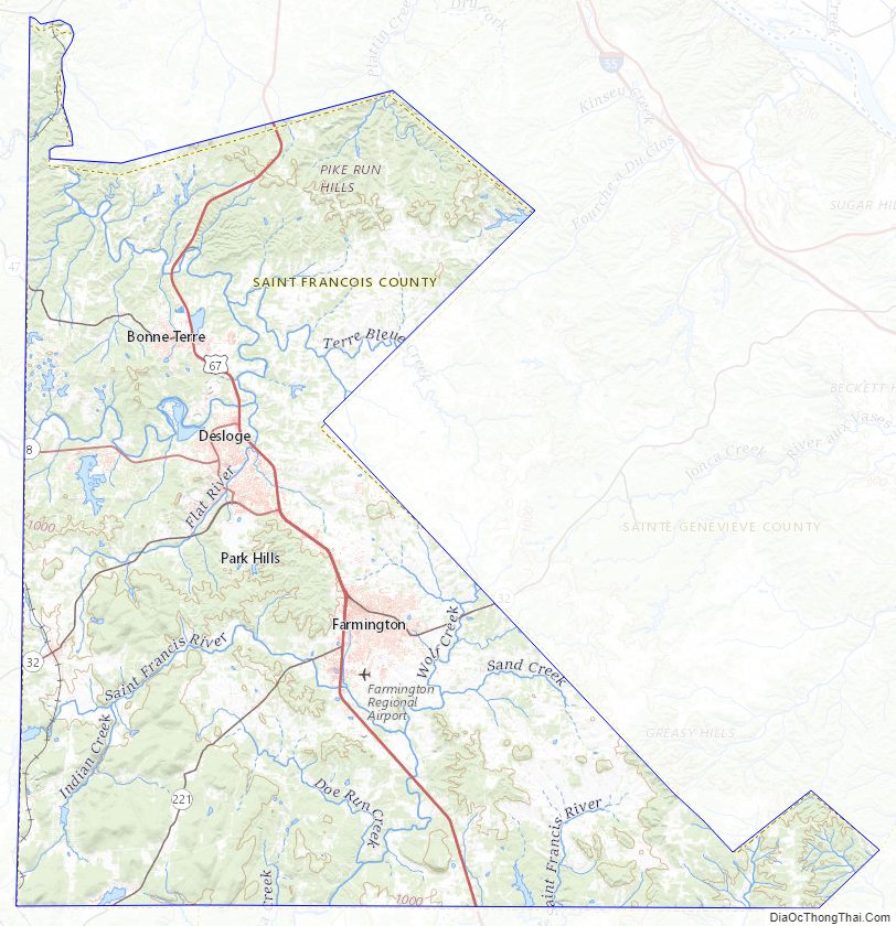
St. Francois County Topographic Map
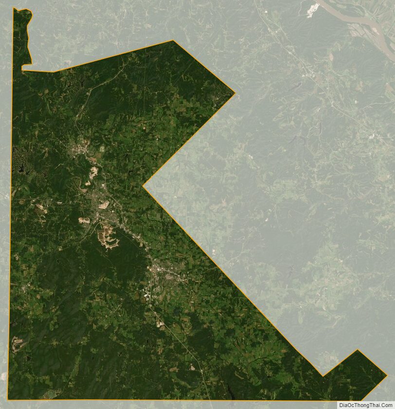
St. Francois County Satellite Map
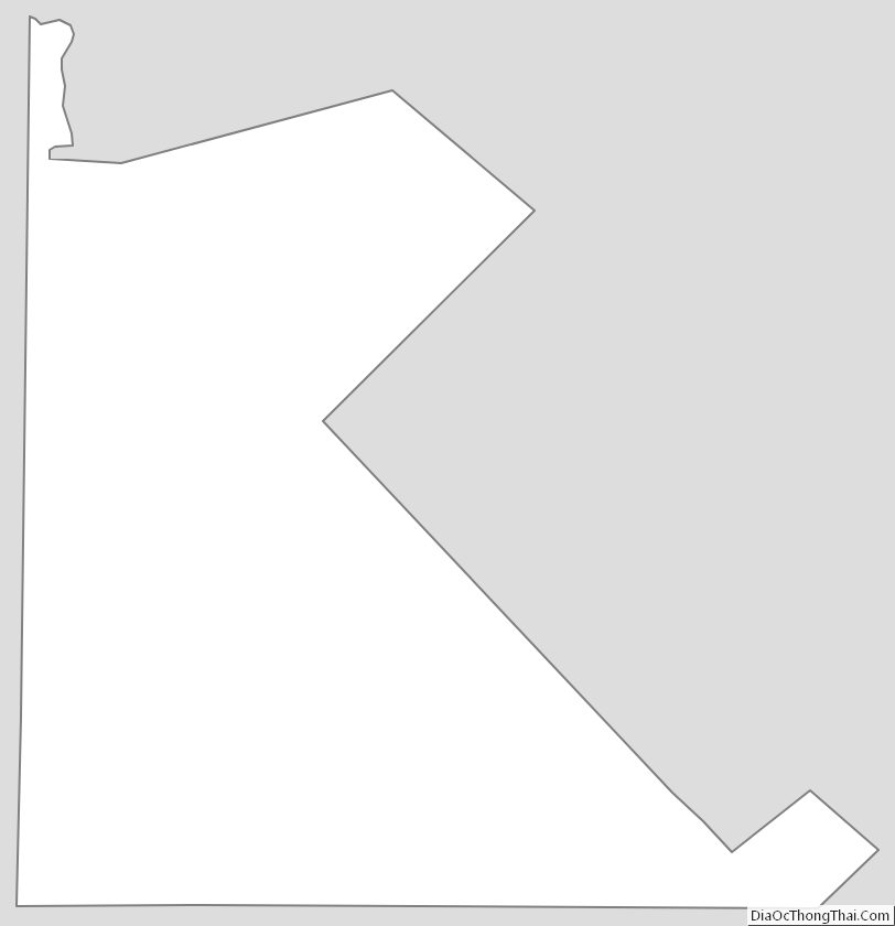
St. Francois County Outline Map