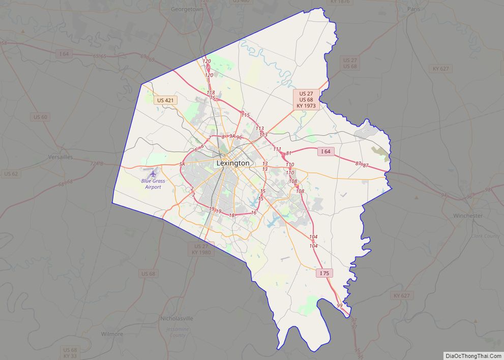
Lexington-Fayette urban county overview: Name: Lexington-Fayette urban county LSAD Code: UC LSAD Description: urban county (suffix) State: Kentucky County: Fayette County FIPS code: 2146027 Online Interactive Map Lexington-Fayette online map. Source: Basemap layers from Google Map, Open Street Map (OSM), Arcgisonline, Wmflabs. Boundary Data from Database of Global Administrative Areas. Lexington-Fayette location map. Where is ... Read more
Kentucky Cities and Places
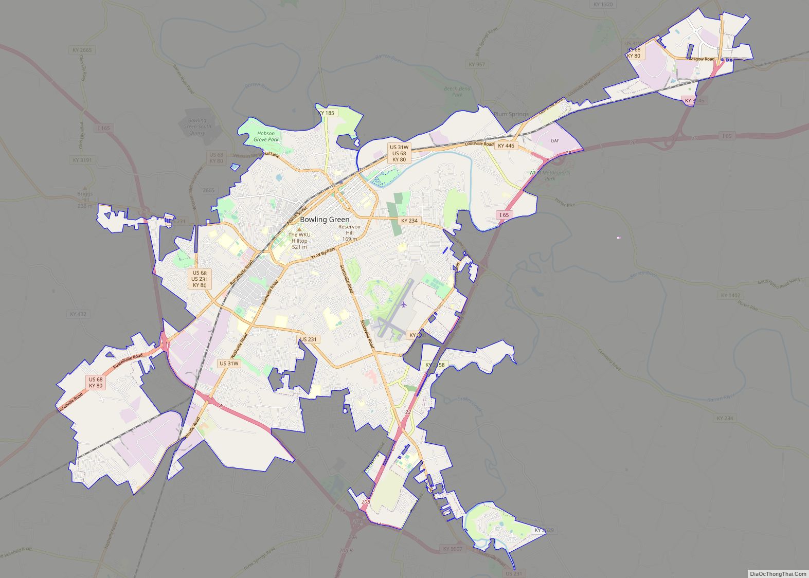
Bowling Green is a home rule-class city and the county seat of Warren County, Kentucky, United States. Founded by pioneers in 1798, Bowling Green was the provisional capital of Confederate Kentucky during the American Civil War. As of the 2020 census, its population of 72,294 made it the third-most-populous city in the state, after Louisville ... Read more
Covington is a home rule-class city in Kenton County, Kentucky, United States. Located at the confluence of the Ohio and Licking rivers, it lies south of Cincinnati, Ohio, across the Ohio and west of Newport, Kentucky, across the Licking. It had a population of 40,691 at the 2020 census, making it the largest city in ... Read more
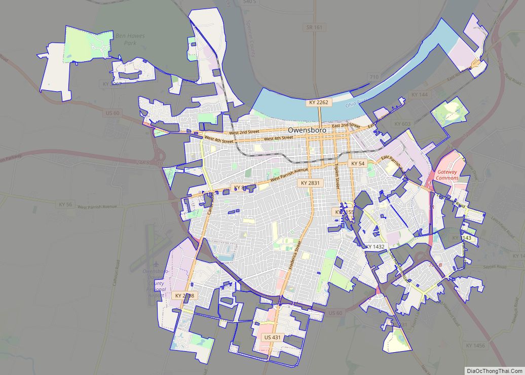
Owensboro is a home rule-class city in and the county seat of Daviess County, Kentucky, United States. It is the fourth-largest city in the state by population. Owensboro is located on U.S. Route 60 and Interstate 165 about 107 miles (172 km) southwest of Louisville, and is the principal city of the Owensboro metropolitan area. The ... Read more
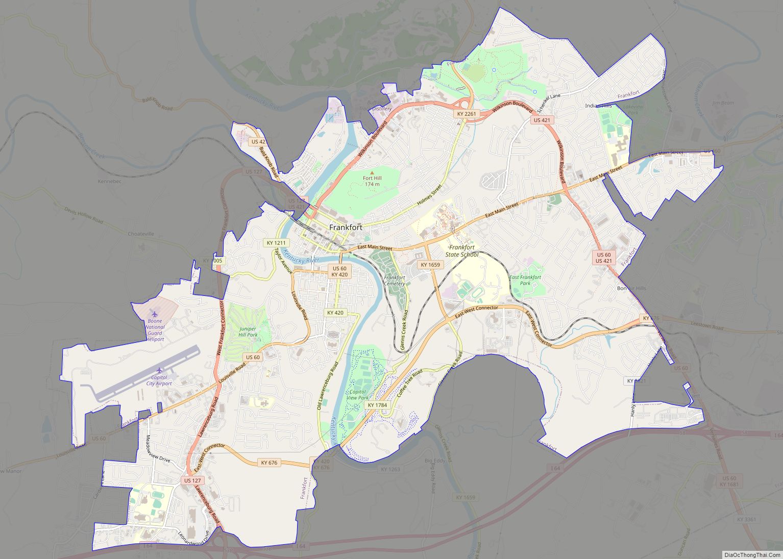
Frankfort is the capital city of the Commonwealth of Kentucky, United States, and the seat of Franklin County. It is a home rule-class city; the population was 28,602 at the 2020 census. Located along the Kentucky River, Frankfort is the principal city of the Frankfort, Kentucky Micropolitan Statistical Area, which includes all of Franklin and ... Read more
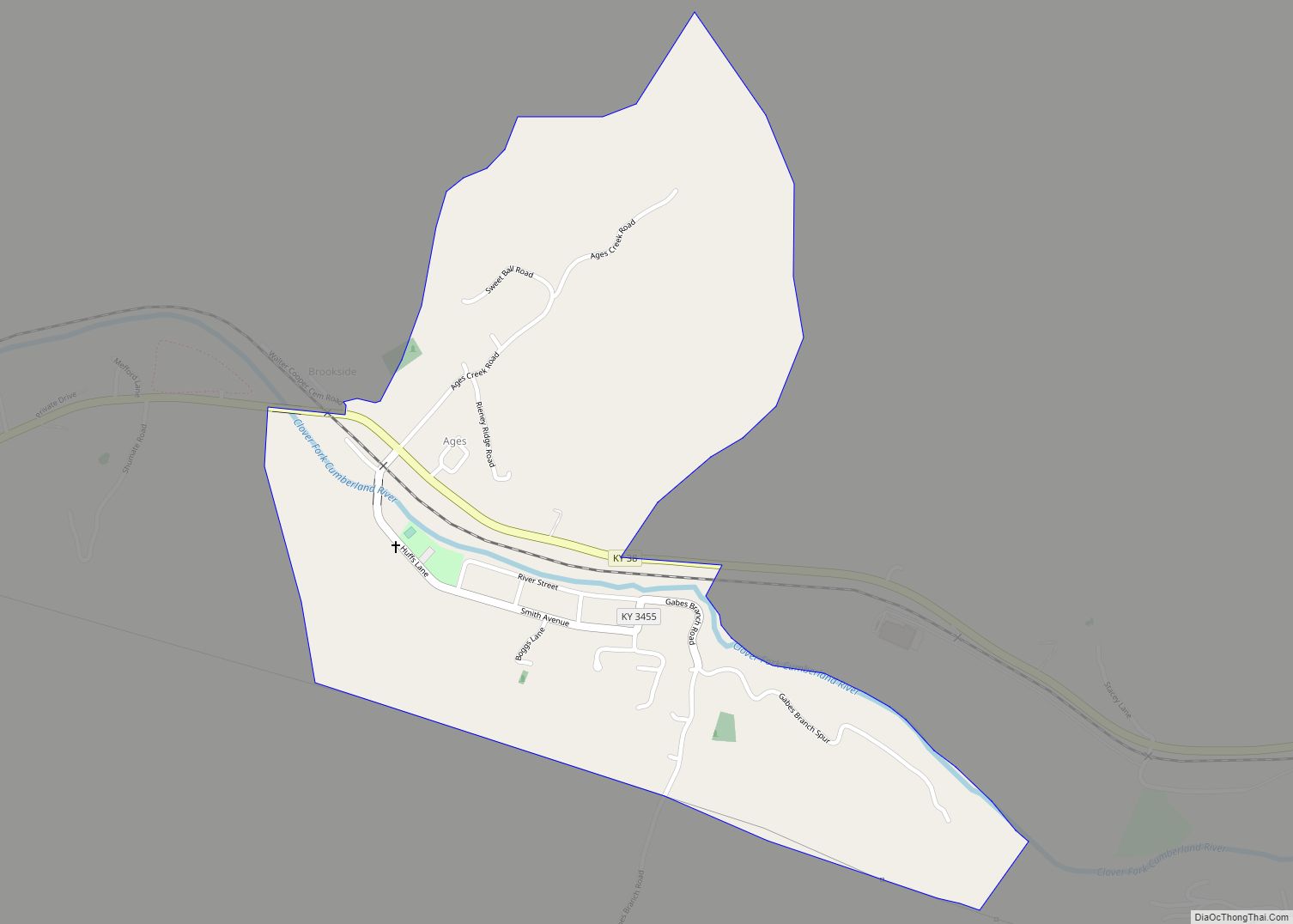
Ages is an unincorporated coal town and census-designated place (CDP) in Harlan County, Kentucky, United States. Ages CDP overview: Name: Ages CDP LSAD Code: 57 LSAD Description: CDP (suffix) State: Kentucky County: Harlan County Elevation: 1,325 ft (404 m) Total Area: 0.57 sq mi (1.47 km²) Land Area: 0.56 sq mi (1.44 km²) Water Area: 0.01 sq mi (0.03 km²) Total Population: 345 Population Density: 619.39/sq mi ... Read more
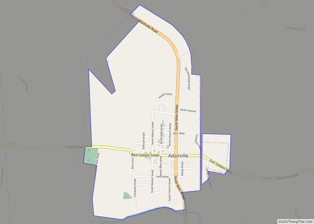
Adairville is a home rule-class city in Logan County, Kentucky, in the United States. Established on January 31, 1833, it was named for Governor John Adair and incorporated by the state assembly on February 7, 1871. The population was 852 at the 2010 census. In a duel, future president Andrew Jackson killed Charles Dickinson here ... Read more
Allen, also known as Allen City, is a home rule-class city in Floyd County, Kentucky, in the United States. The population was 193 at the 2010 census, up from 150 at the 2000 census. Allen city overview: Name: Allen city LSAD Code: 25 LSAD Description: city (suffix) State: Kentucky County: Floyd County Incorporated: 1913 Elevation: ... Read more
Alexandria is a home rule-class city in Campbell County, Kentucky, in the United States. Along with Newport, it is one of the dual seats of the county. The population was 10,341 at the 2020 census. Alexandria city overview: Name: Alexandria city LSAD Code: 25 LSAD Description: city (suffix) State: Kentucky County: Campbell County Elevation: 883 ft ... Read more
Albany is a home rule-class city in Clinton County, Kentucky, in the United States. The population was 2,033 at the 2010 census. It is the county seat of Clinton County. It is located on U.S. Route 127, about 6 miles (10 km) north of the Tennessee border. Albany city overview: Name: Albany city LSAD Code: 25 ... Read more
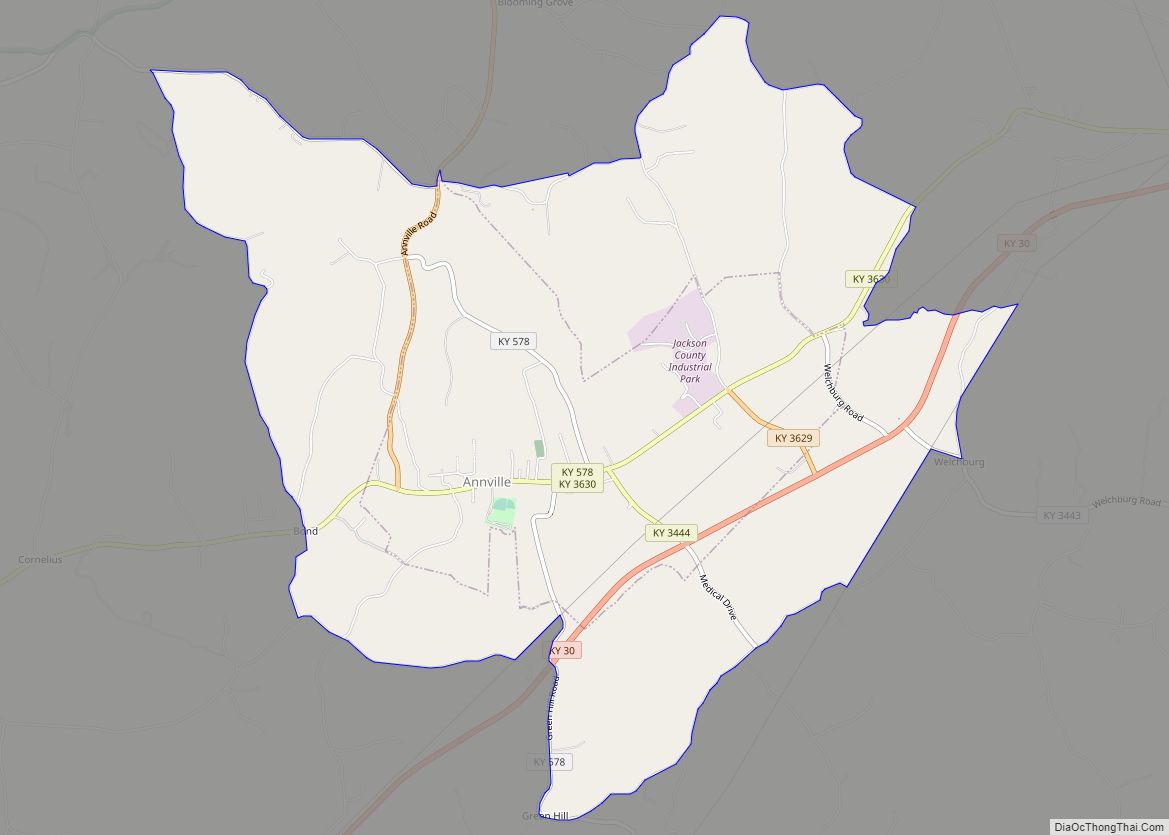
Annville is an unincorporated community, a census-designated place (CDP), and the largest community in Jackson County, KY. As of the 2020 census, the population was 1,102. The community was established in 1878 and named for local resident Nancy Ann Johnson. The community offers a few services such as a post office, grocery store, gas station, ... Read more
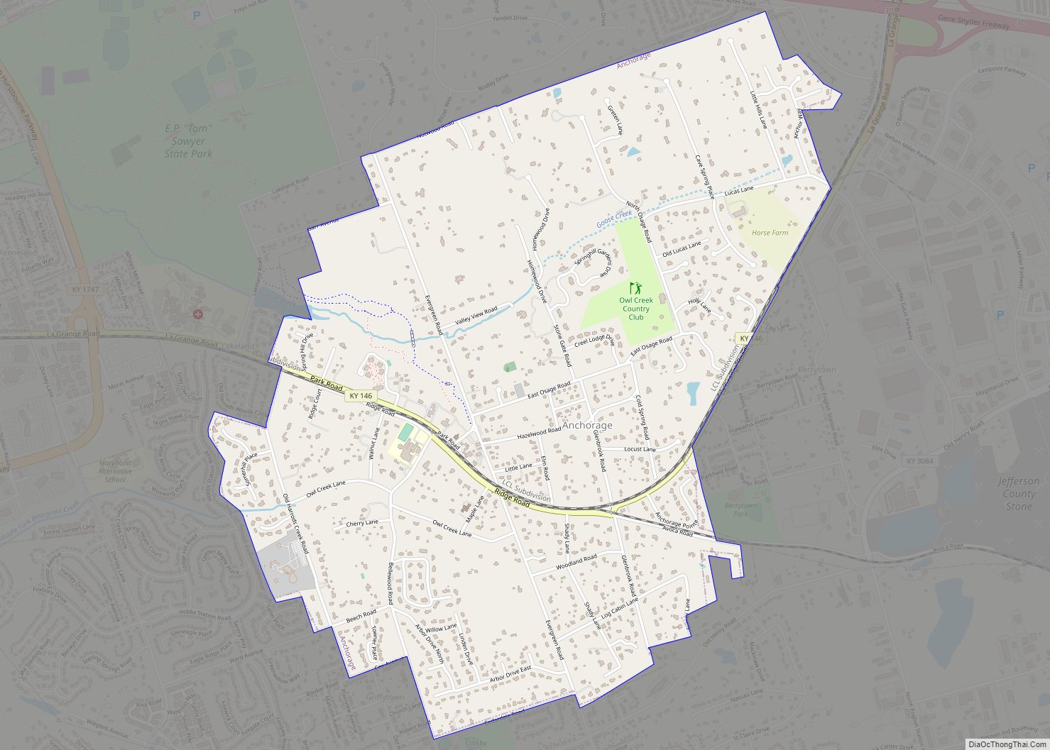
Anchorage is a home rule-class city in eastern Jefferson County, Kentucky, United States. The population was 2,348 at the 2010 census and an estimated 2,432 in 2018. It is a suburb of Louisville. Anchorage city overview: Name: Anchorage city LSAD Code: 25 LSAD Description: city (suffix) State: Kentucky County: Jefferson County Elevation: 712 ft (217 m) Total ... Read more
