Allen, also known as Allen City, is a home rule-class city in Floyd County, Kentucky, in the United States. The population was 193 at the 2010 census, up from 150 at the 2000 census.
| Name: | Allen city |
|---|---|
| LSAD Code: | 25 |
| LSAD Description: | city (suffix) |
| State: | Kentucky |
| County: | Floyd County |
| Incorporated: | 1913 |
| Elevation: | 643 ft (196 m) |
| Total Area: | 0.19 sq mi (0.50 km²) |
| Land Area: | 0.18 sq mi (0.46 km²) |
| Water Area: | 0.01 sq mi (0.04 km²) |
| Total Population: | 182 |
| Population Density: | 1,016.76/sq mi (393.33/km²) |
| ZIP code: | 41601 |
| Area code: | 606 |
| FIPS code: | 2100946 |
| GNISfeature ID: | 0485866 |
Online Interactive Map
Click on ![]() to view map in "full screen" mode.
to view map in "full screen" mode.
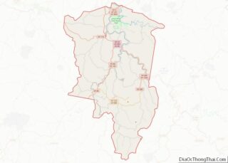
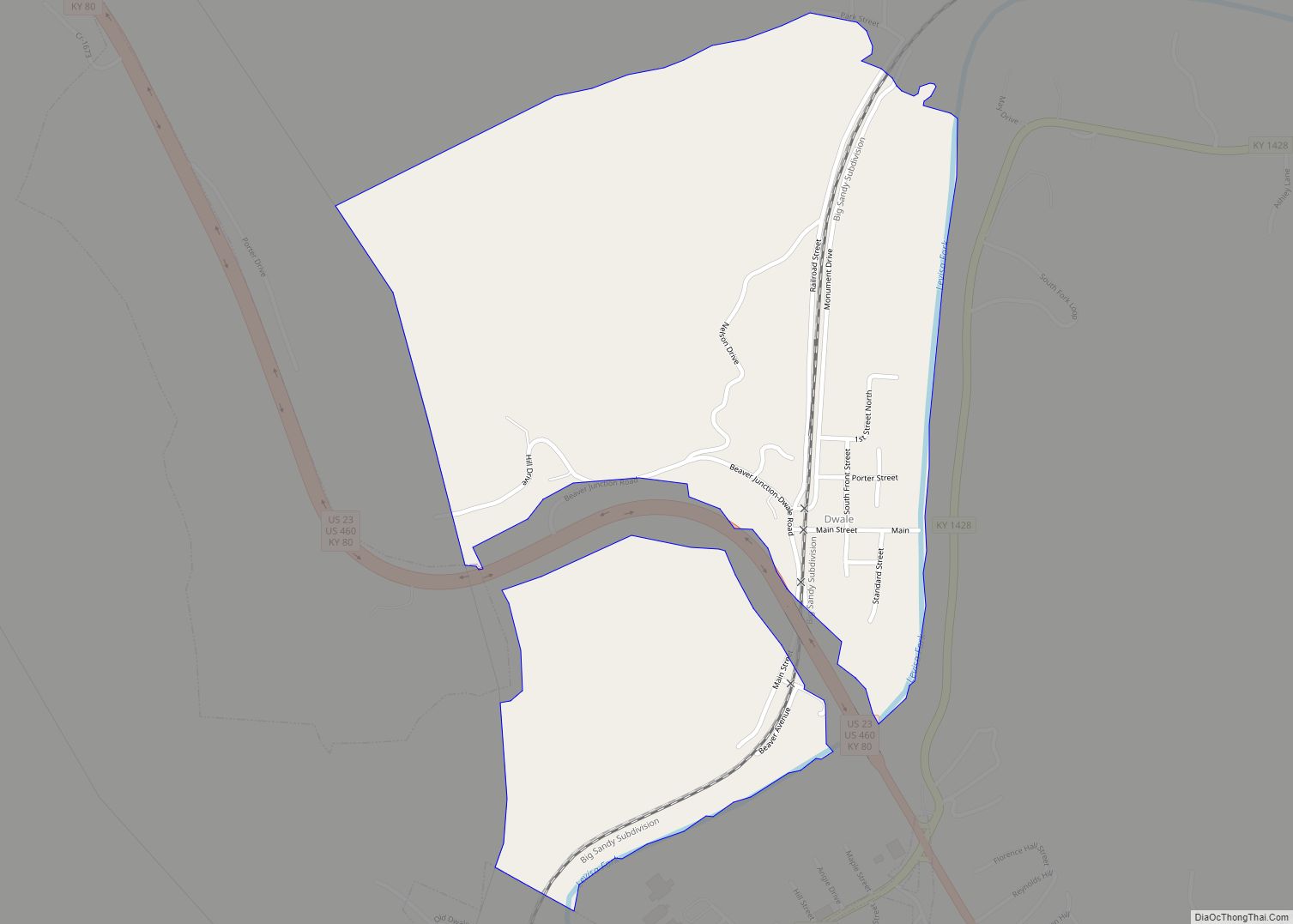
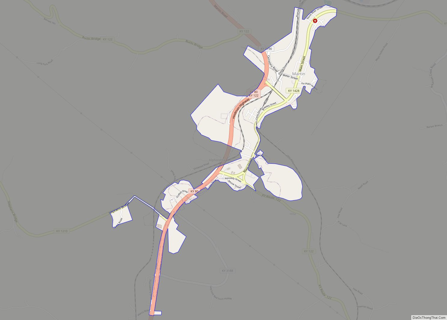
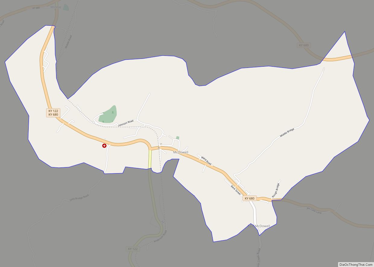
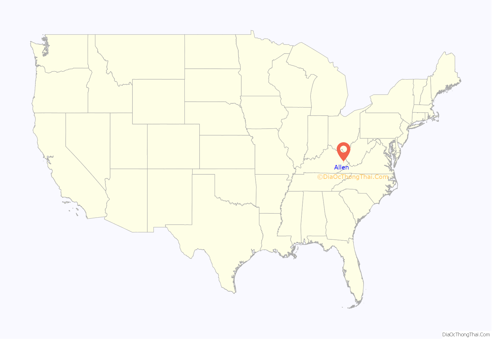
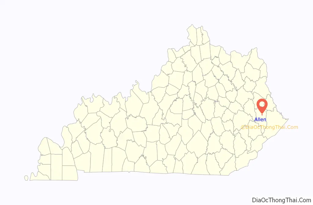
Allen location map. Where is Allen city?
History
Allen was first settled in the early 19th century. The first post office was named “Mouth of Beaver” and was established on August 21, 1854 (Thomas P. Johns, postmaster). The town began to develop rapidly c. 1904-1905 after the establishment of a Chesapeake and Ohio Railroad station. The station was interchangeably known as “Beaver Creek” and “Beaver Creek Junction”. In 1905, another post office opened and was named “Allen” after local resident T.J. Allen. The town was formally incorporated by the state assembly in 1913. In 1936, the railroad station was renamed to prevent confusion during mail delivery. An area outside the city limits known as “New Allen” began to develop in 1937 after a bridge was constructed across the Levisa Fork River.
In October of 1981, a 70-year-old local miner shot eight people at an auto parts store, killing five and wounding three others. The shooting was reportedly sparked by a dispute with one of the victims.
On June 30, 2022, a mass shooting targeting police officers occurred in Allen. Three police officers and a police dog were killed, and four other people were injured, including three officers. The alleged shooter, 49-year-old Lance Storz, was arrested and charged with murder and attempted murder of a police officer.
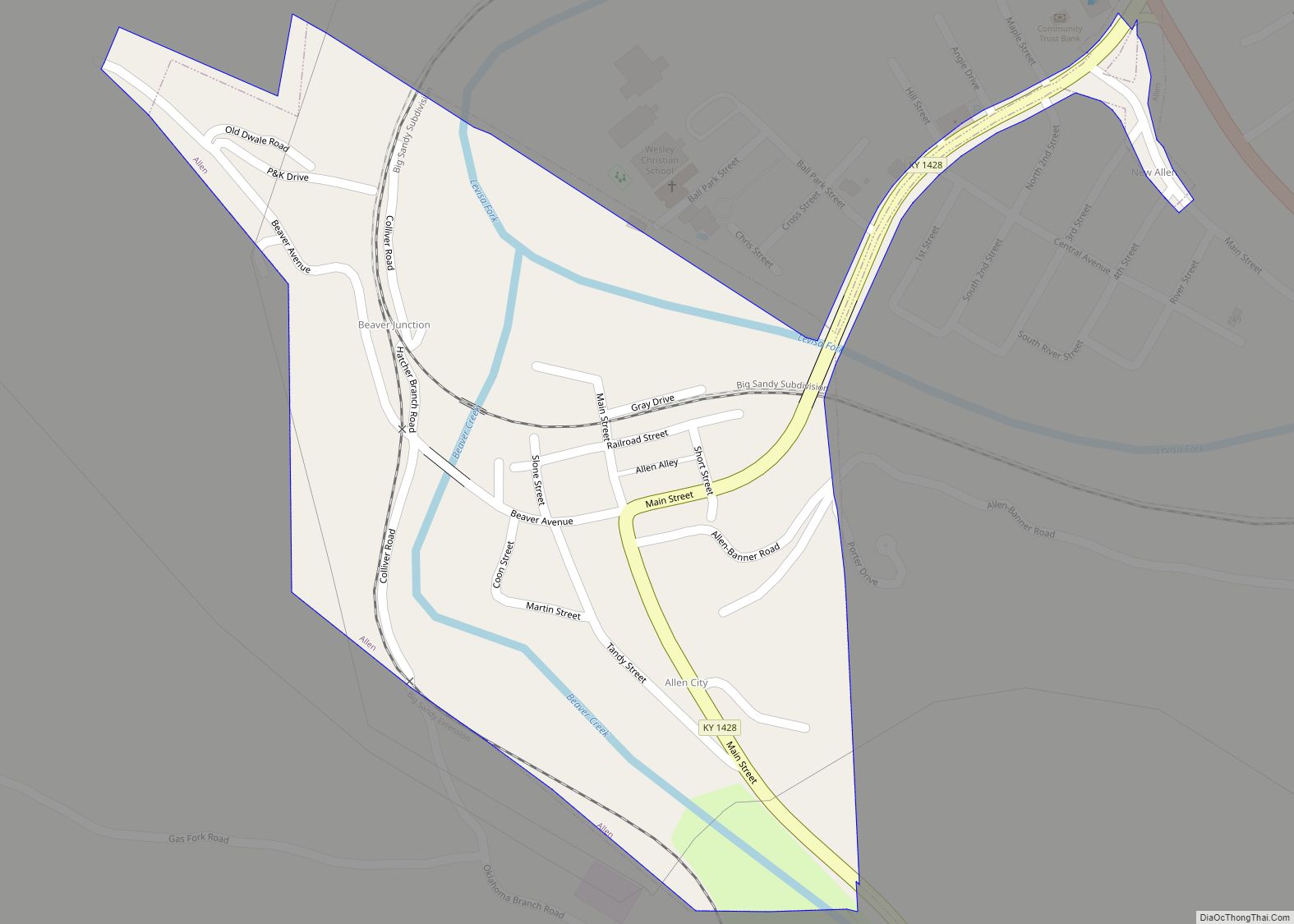
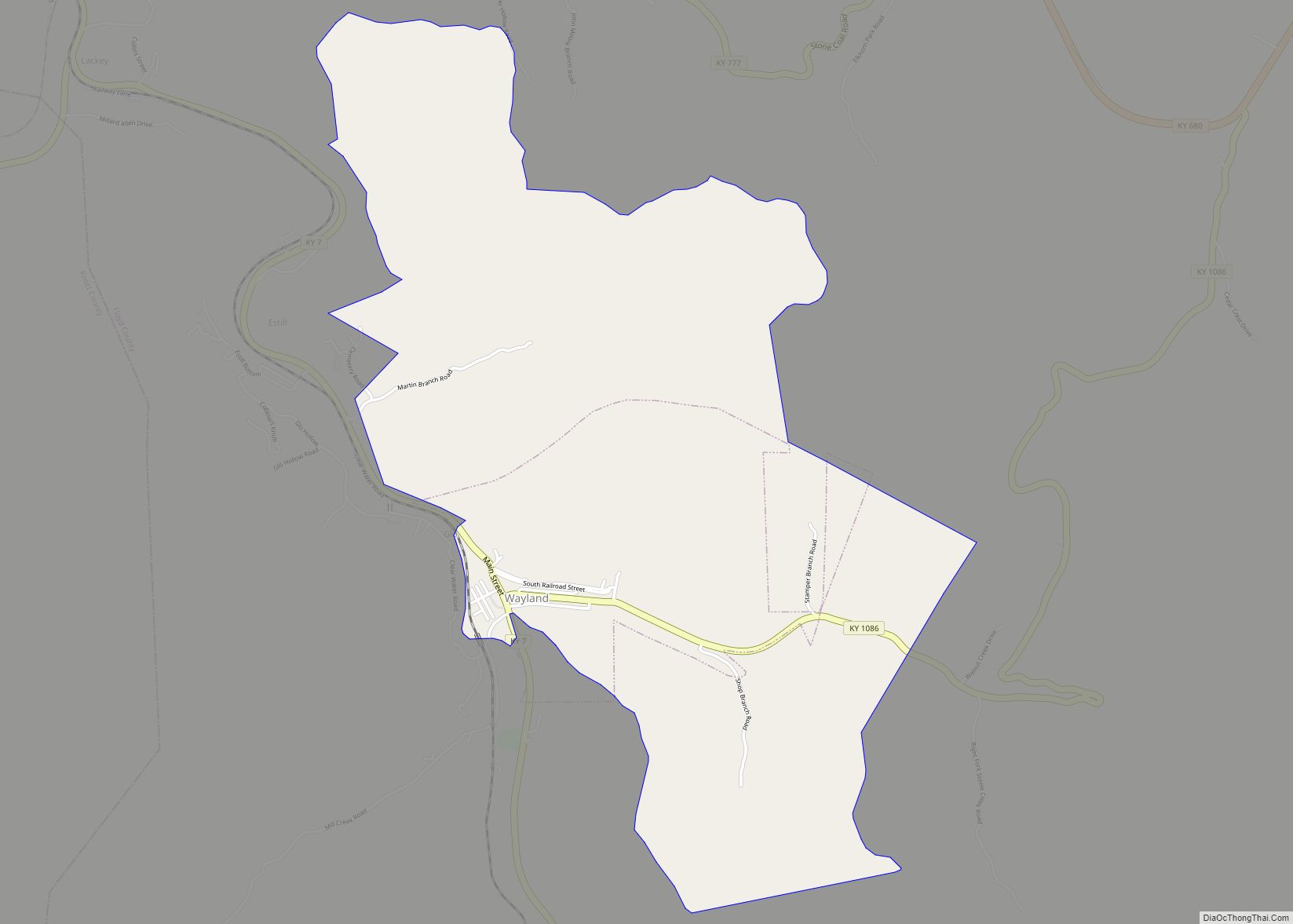
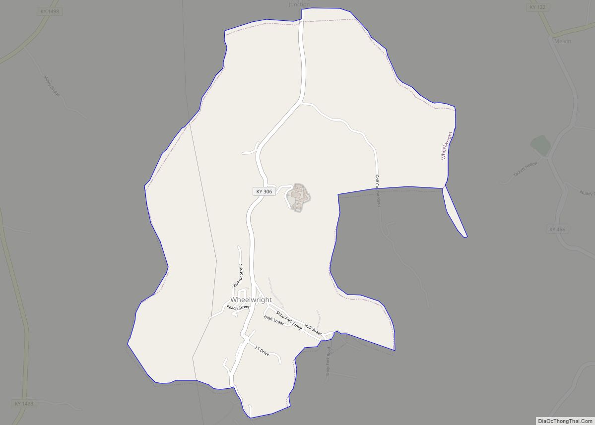
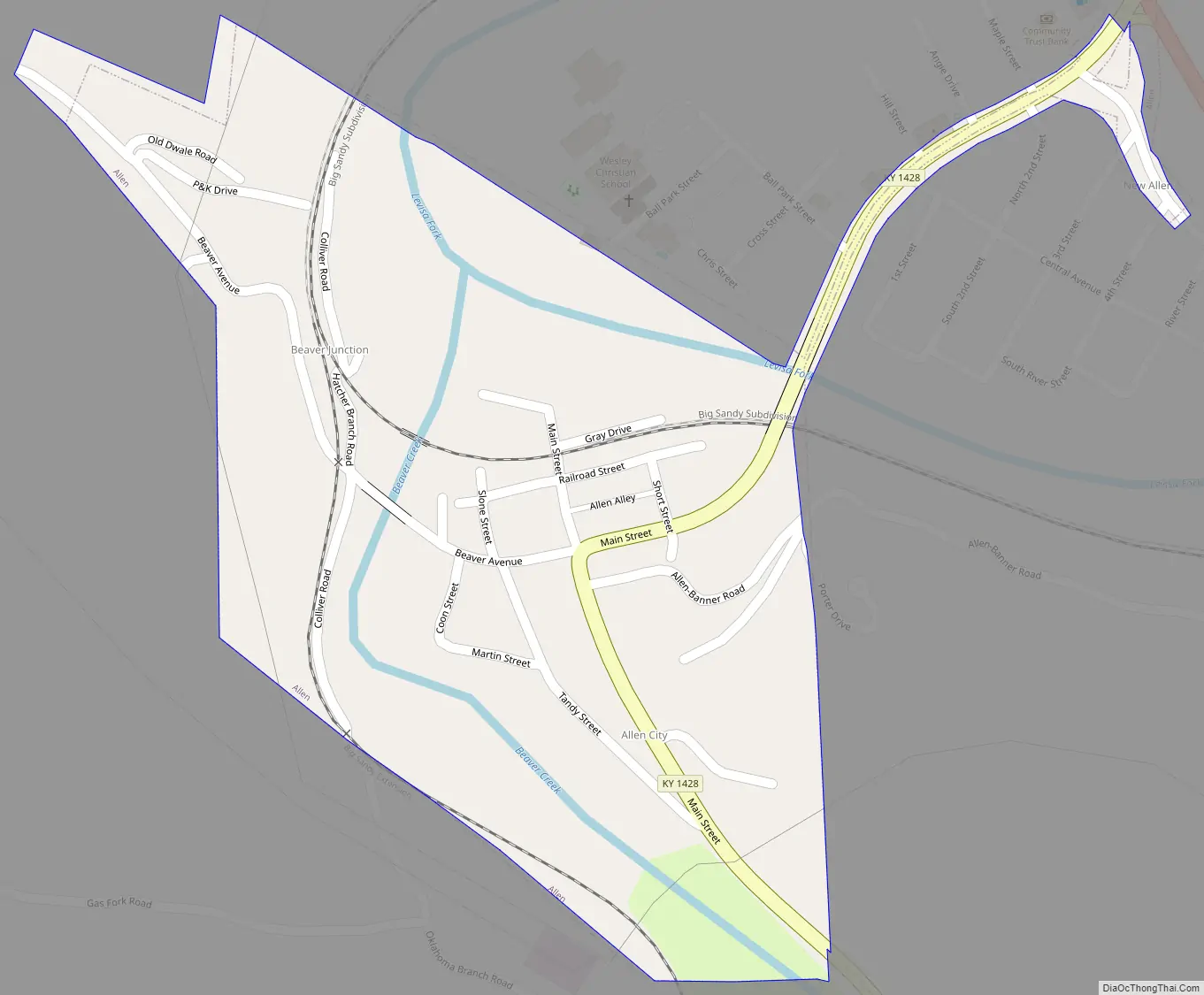
Allen Road Map
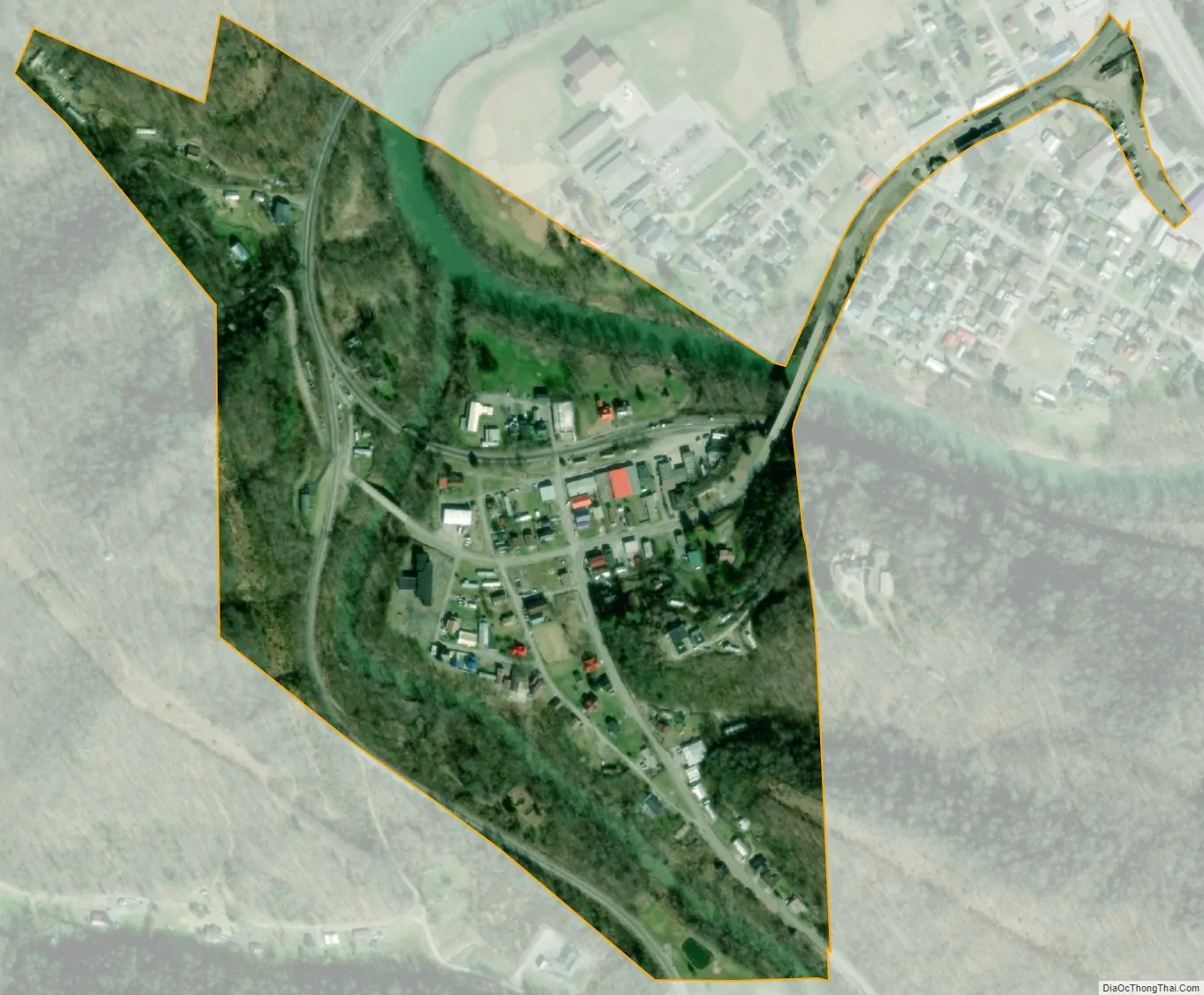
Allen city Satellite Map
Geography
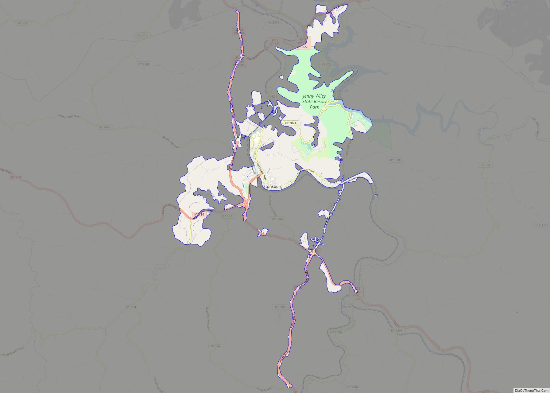
Allen is located north of the center of Floyd County at 37°36′48″N 82°43′33″W / 37.61333°N 82.72583°W / 37.61333; -82.72583 (37.613421, -82.725826). It sits at the confluence of Beaver Creek with the Levisa Fork, a north-flowing tributary of the Big Sandy River and part of the Ohio River watershed.
U.S. Routes 460 and 23 pass just north of Allen, leading northwest 5 miles (8 km) to Prestonsburg, the county seat, and southeast 24 miles (39 km) to Pikeville.
According to the United States Census Bureau, Allen has a total area of 0.2 square miles (0.5 km), of which 0.02 square miles (0.04 km), or 7.06%, is water.
See also
Map of Kentucky State and its subdivision:- Adair
- Allen
- Anderson
- Ballard
- Barren
- Bath
- Bell
- Boone
- Bourbon
- Boyd
- Boyle
- Bracken
- Breathitt
- Breckinridge
- Bullitt
- Butler
- Caldwell
- Calloway
- Campbell
- Carlisle
- Carroll
- Carter
- Casey
- Christian
- Clark
- Clay
- Clinton
- Crittenden
- Cumberland
- Daviess
- Edmonson
- Elliott
- Estill
- Fayette
- Fleming
- Floyd
- Franklin
- Fulton
- Gallatin
- Garrard
- Grant
- Graves
- Grayson
- Green
- Greenup
- Hancock
- Hardin
- Harlan
- Harrison
- Hart
- Henderson
- Henry
- Hickman
- Hopkins
- Jackson
- Jefferson
- Jessamine
- Johnson
- Kenton
- Knott
- Knox
- Larue
- Laurel
- Lawrence
- Lee
- Leslie
- Letcher
- Lewis
- Lincoln
- Livingston
- Logan
- Lyon
- Madison
- Magoffin
- Marion
- Marshall
- Martin
- Mason
- McCracken
- McCreary
- McLean
- Meade
- Menifee
- Mercer
- Metcalfe
- Monroe
- Montgomery
- Morgan
- Muhlenberg
- Nelson
- Nicholas
- Ohio
- Oldham
- Owen
- Owsley
- Pendleton
- Perry
- Pike
- Powell
- Pulaski
- Robertson
- Rockcastle
- Rowan
- Russell
- Scott
- Shelby
- Simpson
- Spencer
- Taylor
- Todd
- Trigg
- Trimble
- Union
- Warren
- Washington
- Wayne
- Webster
- Whitley
- Wolfe
- Woodford
- Alabama
- Alaska
- Arizona
- Arkansas
- California
- Colorado
- Connecticut
- Delaware
- District of Columbia
- Florida
- Georgia
- Hawaii
- Idaho
- Illinois
- Indiana
- Iowa
- Kansas
- Kentucky
- Louisiana
- Maine
- Maryland
- Massachusetts
- Michigan
- Minnesota
- Mississippi
- Missouri
- Montana
- Nebraska
- Nevada
- New Hampshire
- New Jersey
- New Mexico
- New York
- North Carolina
- North Dakota
- Ohio
- Oklahoma
- Oregon
- Pennsylvania
- Rhode Island
- South Carolina
- South Dakota
- Tennessee
- Texas
- Utah
- Vermont
- Virginia
- Washington
- West Virginia
- Wisconsin
- Wyoming