Covington is a home rule-class city in Kenton County, Kentucky, United States. Located at the confluence of the Ohio and Licking rivers, it lies south of Cincinnati, Ohio, across the Ohio and west of Newport, Kentucky, across the Licking. It had a population of 40,691 at the 2020 census, making it the largest city in Northern Kentucky and the fifth-most populous city in the state. A part of the Cincinnati metropolitan area, it is one of Kenton County’s two seats, along with Independence.
| Name: | Covington city |
|---|---|
| LSAD Code: | 25 |
| LSAD Description: | city (suffix) |
| State: | Kentucky |
| County: | Kenton County |
| Founded: | 1815 |
| Elevation: | 509 ft (155 m) |
| Total Area: | 13.76 sq mi (35.63 km²) |
| Land Area: | 13.20 sq mi (34.18 km²) |
| Water Area: | 0.56 sq mi (1.45 km²) |
| Total Population: | 40,961 |
| Population Density: | 3,103.81/sq mi (1,198.42/km²) |
| ZIP code: | 41011-41012, 41014-41019 |
| Area code: | 859 |
| FIPS code: | 2117848 |
| GNISfeature ID: | 0490167 |
| Website: | covingtonky.gov |
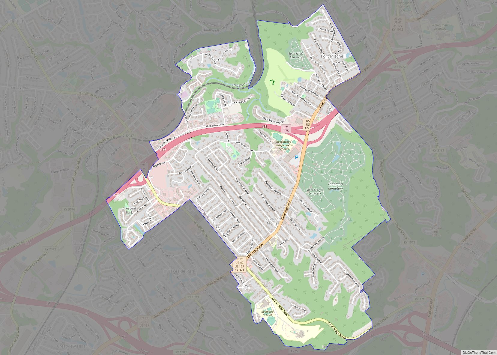
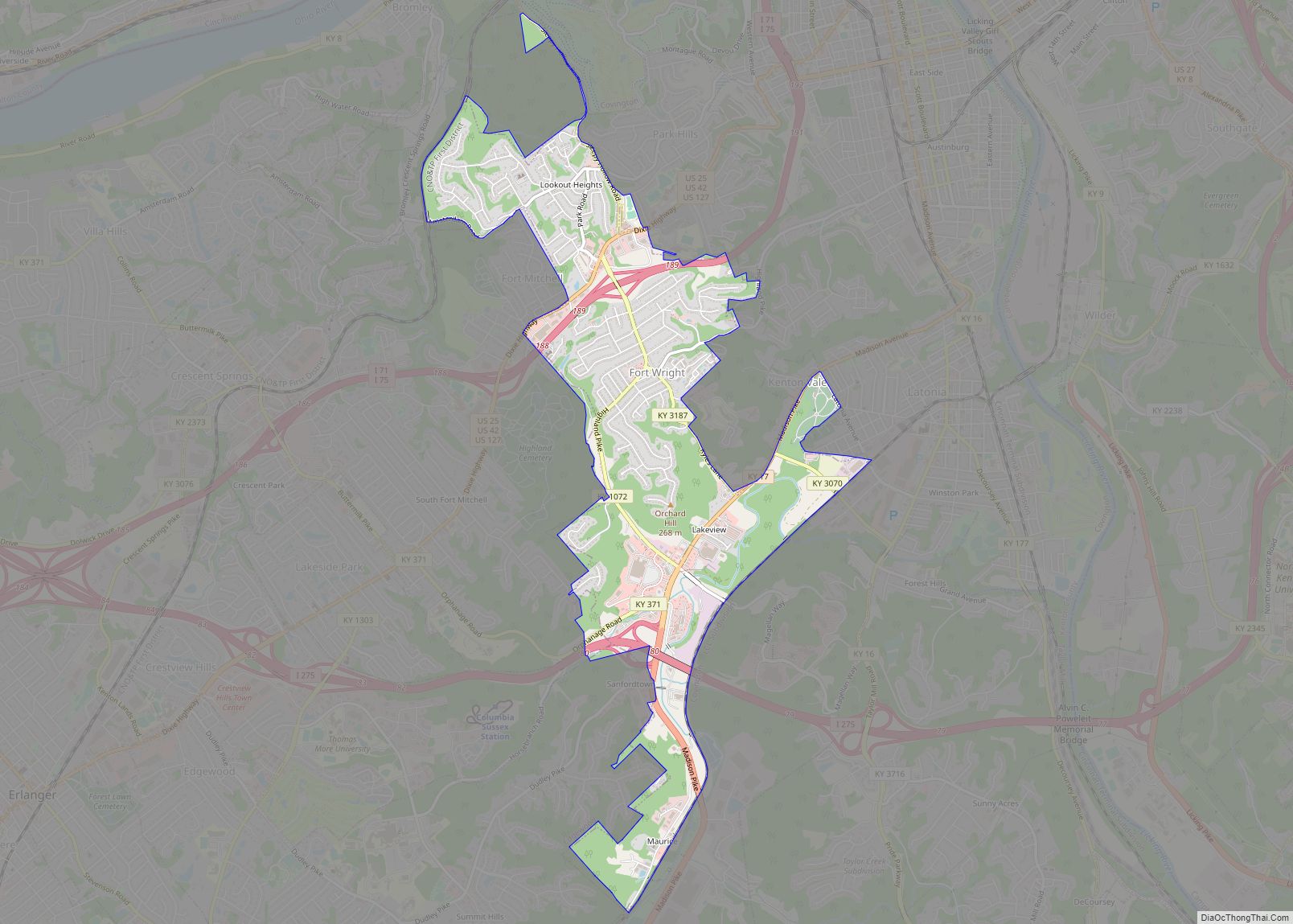
Online Interactive Map
Click on ![]() to view map in "full screen" mode.
to view map in "full screen" mode.
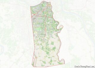
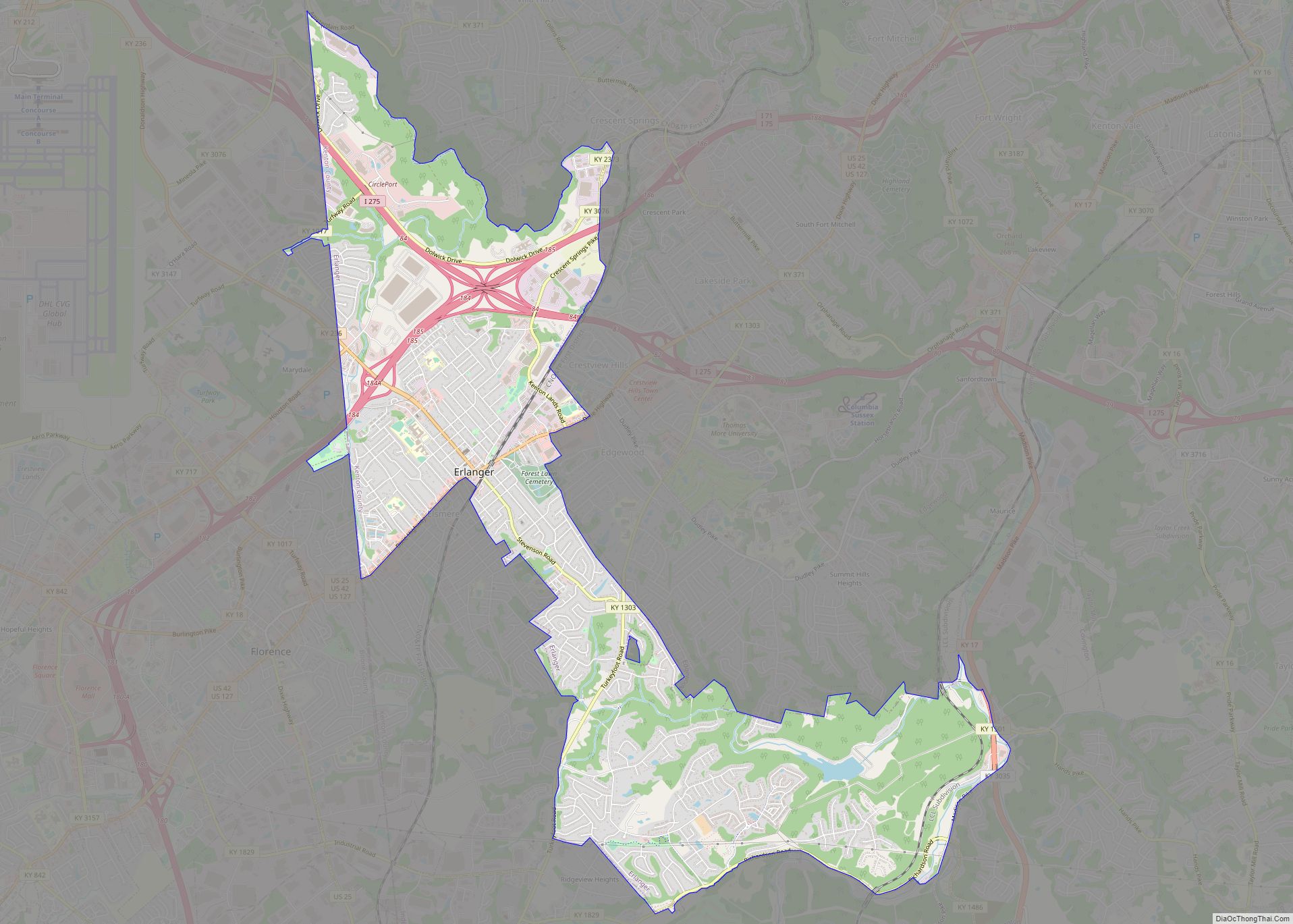
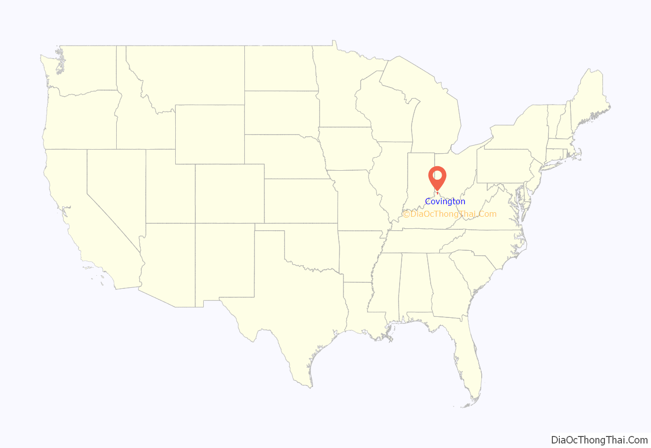
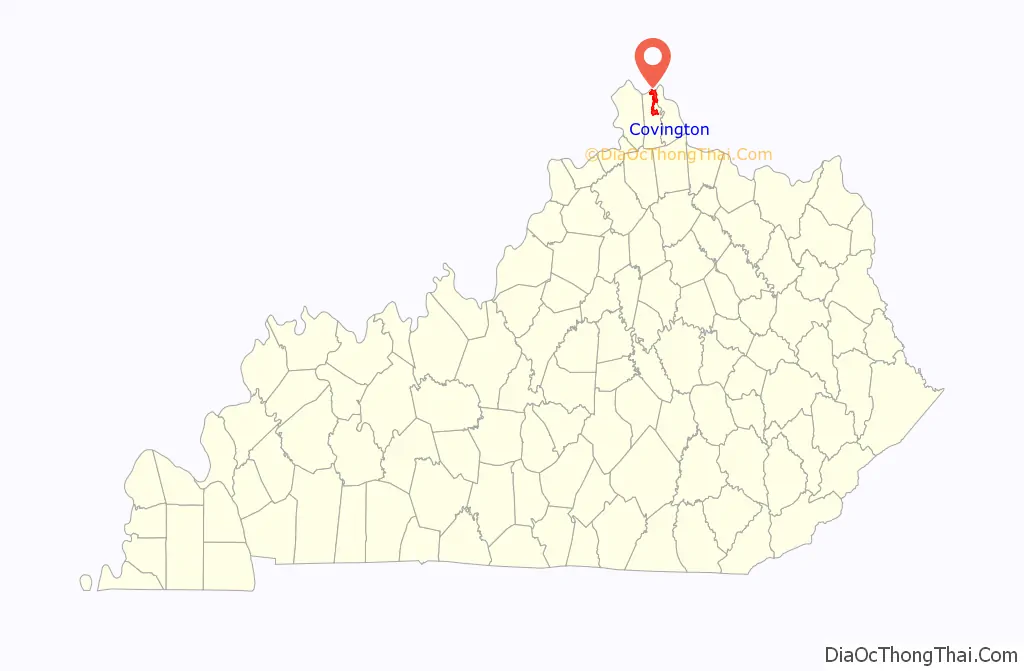
Covington location map. Where is Covington city?
History
In 1814, John Gano, Richard Gano, and Thomas Carneal purchased The Point, 150 acres (0.6 km) of land on the west side of the Licking River at its confluence with the Ohio, from Thomas Kennedy for $50,000, and laid out the settlement of Covington the next year. It was named in honor of Gen. Leonard Covington, who was killed at the Battle of Crysler’s Farm during the War of 1812. The town was formally incorporated by the Kentucky General Assembly a year later and raised to city status in 1834.
The city prospered as an emporium for Kentucky’s tobacco and cigar production. In 1862, Stewart Iron Works was established; for a time, it was the largest iron fence maker in the world and still exists today as part of the Huseman Group of Cincinnati. There were also distilleries, glassworks, and stove factories. Like nearby Cincinnati, Covington’s factories and businesses were particularly staffed by Catholic and German immigrants. Its Catholic church was eventually raised to the level of a diocese.
By 1900, Covington was the second-largest city and industrial region in Kentucky. At the time, its population of almost 43,000 was about 12% foreign-born and 5% Black. By this time, it was connected to the Chesapeake & Ohio and Louisville & Nashville railways, and companies offered steamboat service to other ports on the Ohio River. Its factories had expanded to include cotton goods, machinery, and cordage.
Covington even boasted a Federal League baseball team, the Covington Blue Sox, during the 1913 season. The present-day circuit courthouse is located at the site of its former grounds, Federal Park, which is thought to have been the smallest stadium ever used by a professional baseball club.
It declined in importance during the Great Depression and the middle 20th century. The city has undergone some redevelopment during the late 20th and early 21st centuries as the most populous city in Kenton County.
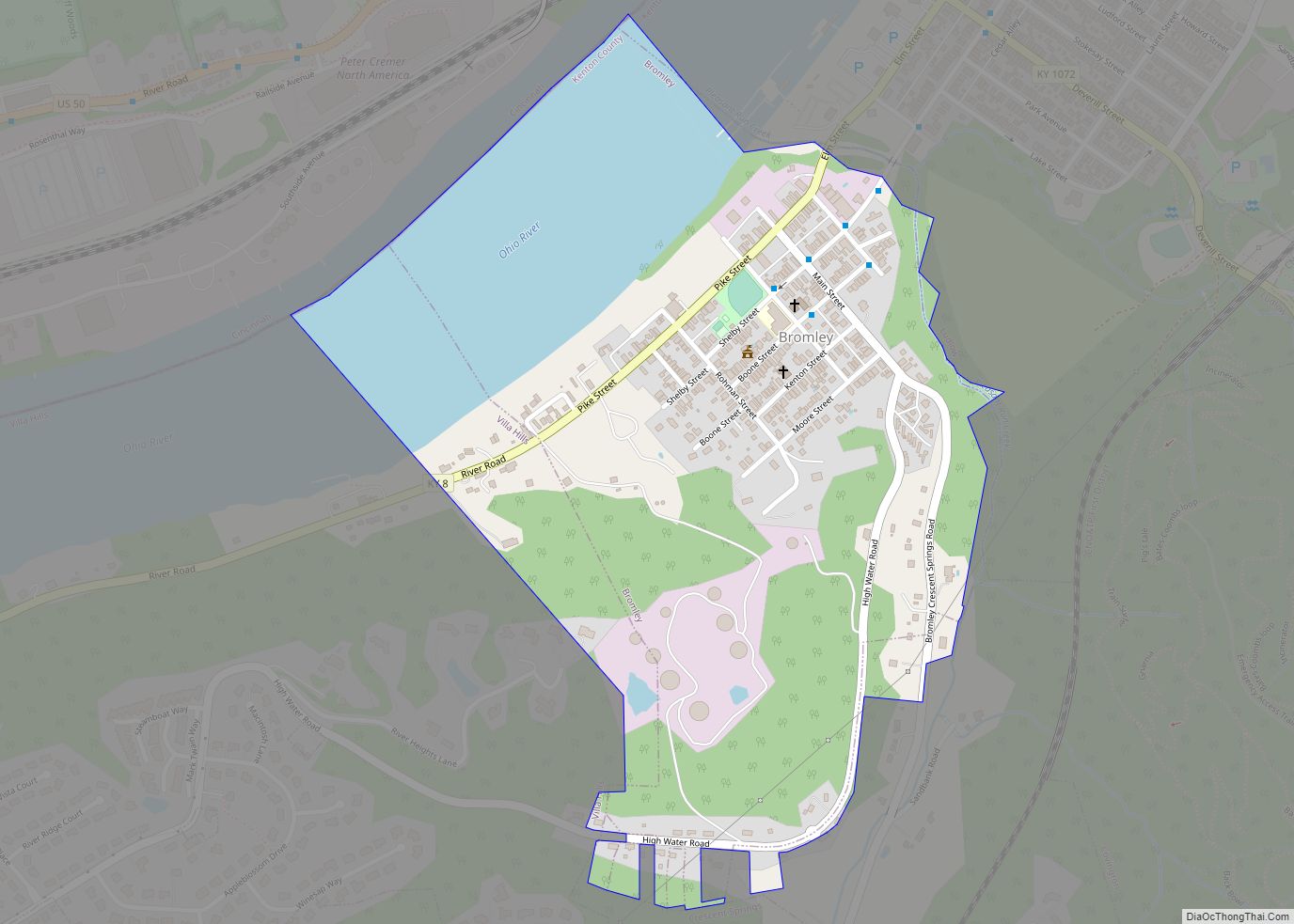
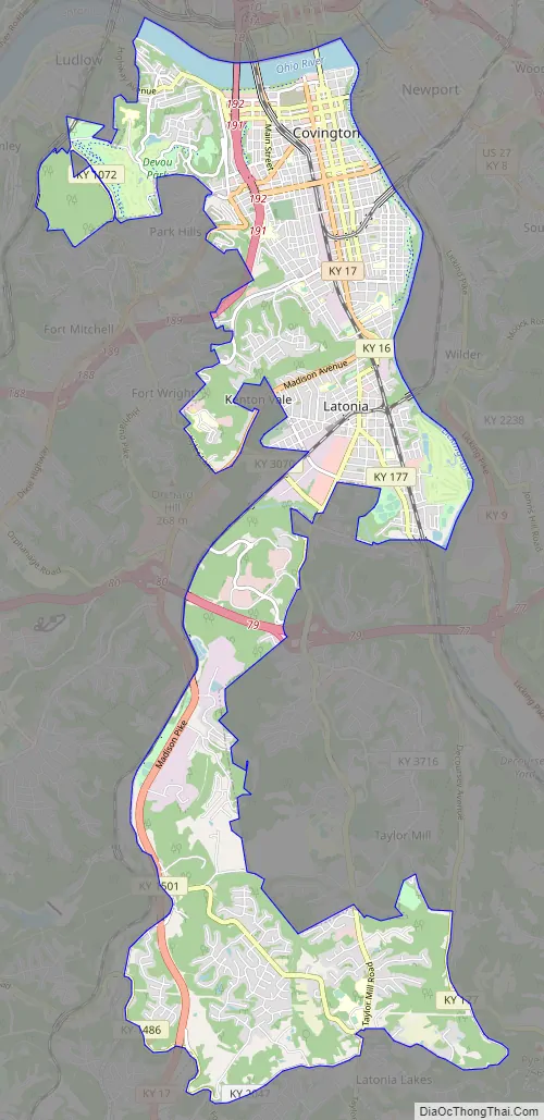
Covington Road Map
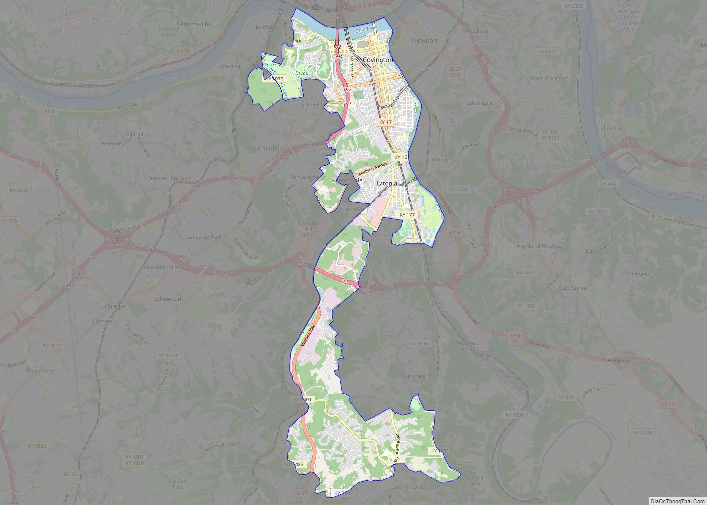
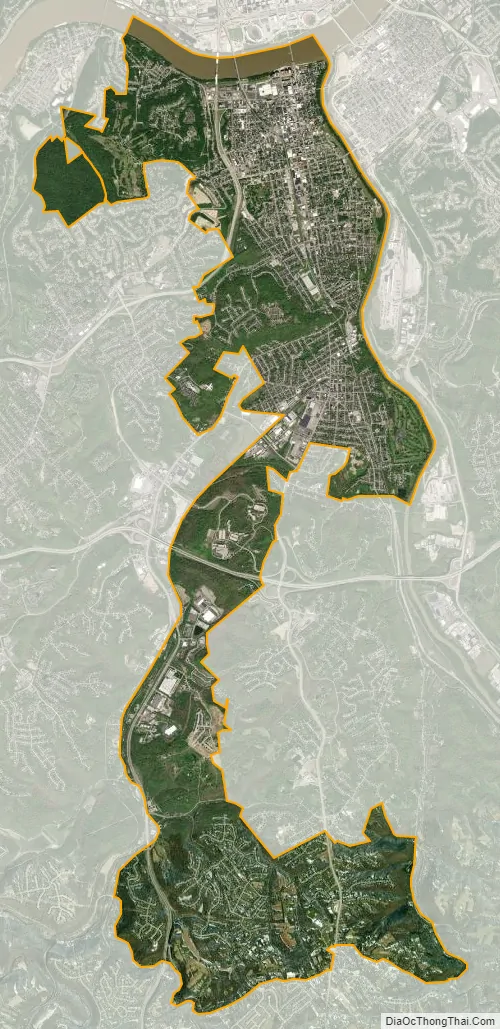
Covington city Satellite Map
Geography
The city is on the south bank of the Ohio River with Cincinnati, Ohio across the river to the north. The Licking River forms the eastern boundary with Newport in the adjacent Campbell County.
According to the United States Census Bureau, Covington has a total area of 13.7 square miles (35 km), of which 13.1 square miles (34 km) is land and 0.5 square miles (1.3 km) (3.88%) is covered by water.
Climate
Covington is located within a climatic transition zone; it is nestled within the southern end of the humid continental climate zone and the northern periphery of the humid subtropical climate of the Upland South, with hot, humid summers and cool winters. Evidence of both a humid subtropical and humid continental climate can be found here, particularly noticeable by the presence of plants indicative of each climatic region; for example, the southern magnolia (Magnolia grandiflora) from the subtropics and the blue spruce from cooler regions are successful landscape plants in and around Covington.
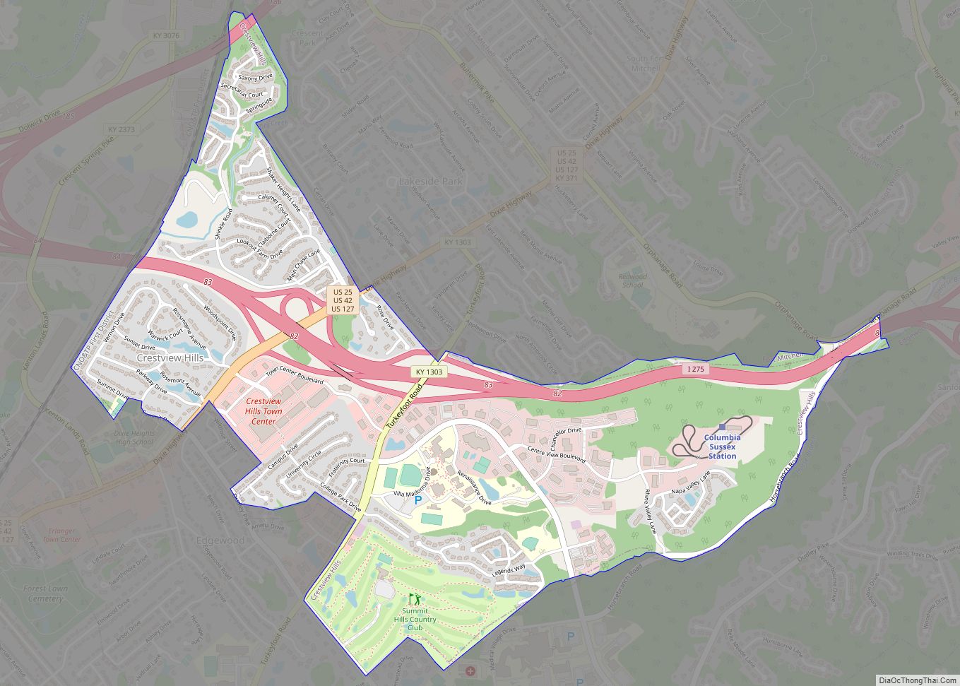
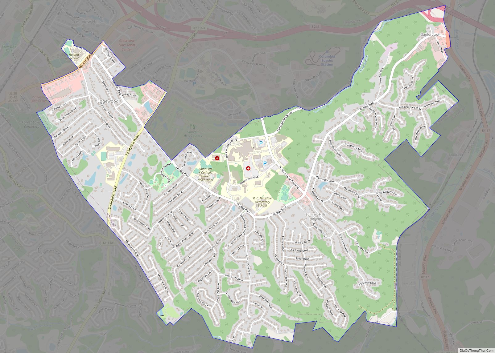
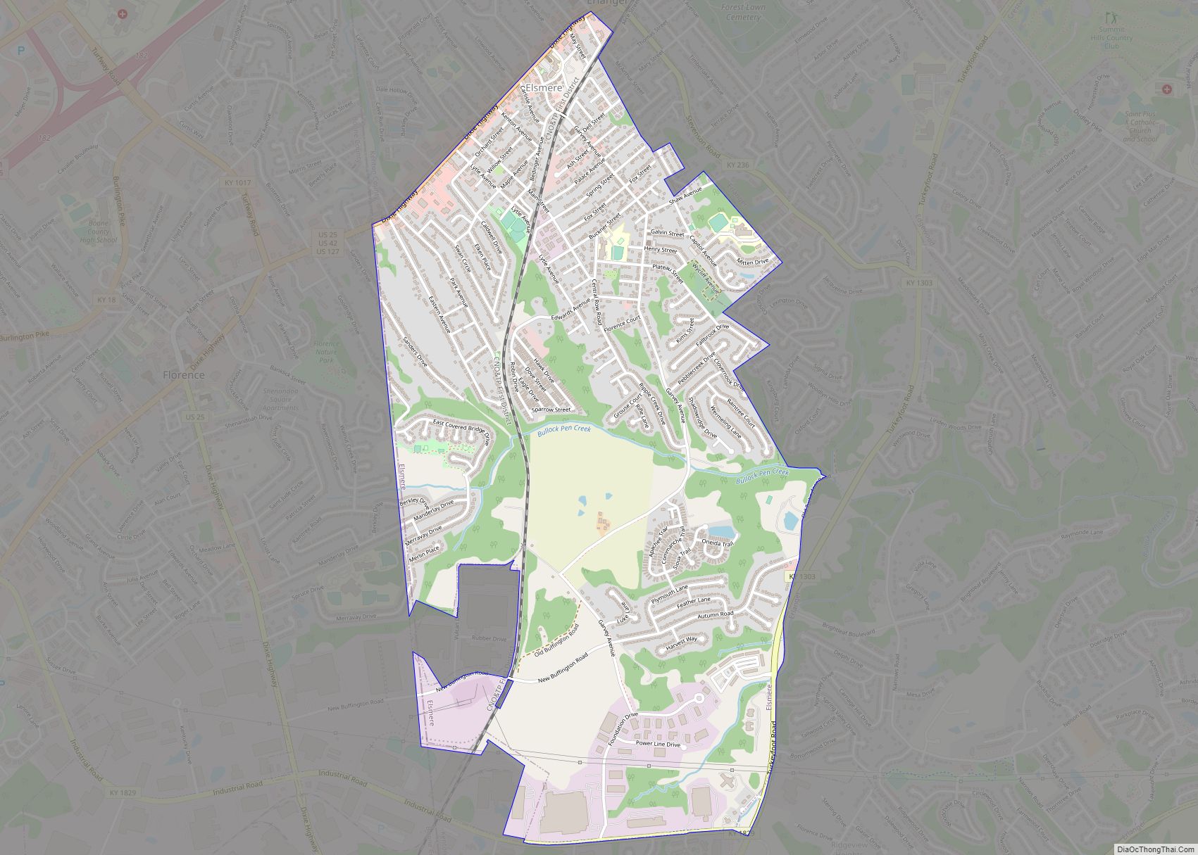
Neighborhoods
Covington claims 19 distinct neighborhoods, ranging in population from several hundred to 10,000 people. Many of the neighborhoods are located in 12 historic districts that are predominantly found in the northern portion of the city, but Covington annexed many areas to the south in the late 20th and early 21st centuries to significantly enlarge its land area. Most of the neighborhoods have active resident associations or block watches that are dedicated to involving residents in strengthening their neighborhoods, improving safety, housing, and beautification.
See also
Map of Kentucky State and its subdivision:- Adair
- Allen
- Anderson
- Ballard
- Barren
- Bath
- Bell
- Boone
- Bourbon
- Boyd
- Boyle
- Bracken
- Breathitt
- Breckinridge
- Bullitt
- Butler
- Caldwell
- Calloway
- Campbell
- Carlisle
- Carroll
- Carter
- Casey
- Christian
- Clark
- Clay
- Clinton
- Crittenden
- Cumberland
- Daviess
- Edmonson
- Elliott
- Estill
- Fayette
- Fleming
- Floyd
- Franklin
- Fulton
- Gallatin
- Garrard
- Grant
- Graves
- Grayson
- Green
- Greenup
- Hancock
- Hardin
- Harlan
- Harrison
- Hart
- Henderson
- Henry
- Hickman
- Hopkins
- Jackson
- Jefferson
- Jessamine
- Johnson
- Kenton
- Knott
- Knox
- Larue
- Laurel
- Lawrence
- Lee
- Leslie
- Letcher
- Lewis
- Lincoln
- Livingston
- Logan
- Lyon
- Madison
- Magoffin
- Marion
- Marshall
- Martin
- Mason
- McCracken
- McCreary
- McLean
- Meade
- Menifee
- Mercer
- Metcalfe
- Monroe
- Montgomery
- Morgan
- Muhlenberg
- Nelson
- Nicholas
- Ohio
- Oldham
- Owen
- Owsley
- Pendleton
- Perry
- Pike
- Powell
- Pulaski
- Robertson
- Rockcastle
- Rowan
- Russell
- Scott
- Shelby
- Simpson
- Spencer
- Taylor
- Todd
- Trigg
- Trimble
- Union
- Warren
- Washington
- Wayne
- Webster
- Whitley
- Wolfe
- Woodford
- Alabama
- Alaska
- Arizona
- Arkansas
- California
- Colorado
- Connecticut
- Delaware
- District of Columbia
- Florida
- Georgia
- Hawaii
- Idaho
- Illinois
- Indiana
- Iowa
- Kansas
- Kentucky
- Louisiana
- Maine
- Maryland
- Massachusetts
- Michigan
- Minnesota
- Mississippi
- Missouri
- Montana
- Nebraska
- Nevada
- New Hampshire
- New Jersey
- New Mexico
- New York
- North Carolina
- North Dakota
- Ohio
- Oklahoma
- Oregon
- Pennsylvania
- Rhode Island
- South Carolina
- South Dakota
- Tennessee
- Texas
- Utah
- Vermont
- Virginia
- Washington
- West Virginia
- Wisconsin
- Wyoming