Adairville is a home rule-class city in Logan County, Kentucky, in the United States. Established on January 31, 1833, it was named for Governor John Adair and incorporated by the state assembly on February 7, 1871. The population was 852 at the 2010 census.
In a duel, future president Andrew Jackson killed Charles Dickinson here in 1806.
| Name: | Adairville city |
|---|---|
| LSAD Code: | 25 |
| LSAD Description: | city (suffix) |
| State: | Kentucky |
| County: | Logan County |
| Elevation: | 600 ft (183 m) |
| Total Area: | 1.18 sq mi (3.05 km²) |
| Land Area: | 1.18 sq mi (3.04 km²) |
| Water Area: | 0.00 sq mi (0.00 km²) |
| Total Population: | 837 |
| Population Density: | 712.34/sq mi (274.95/km²) |
| ZIP code: | 42202 |
| Area code: | 270 |
| FIPS code: | 2100298 |
| GNISfeature ID: | 0485749 |
| Website: | adairvilleky.us |
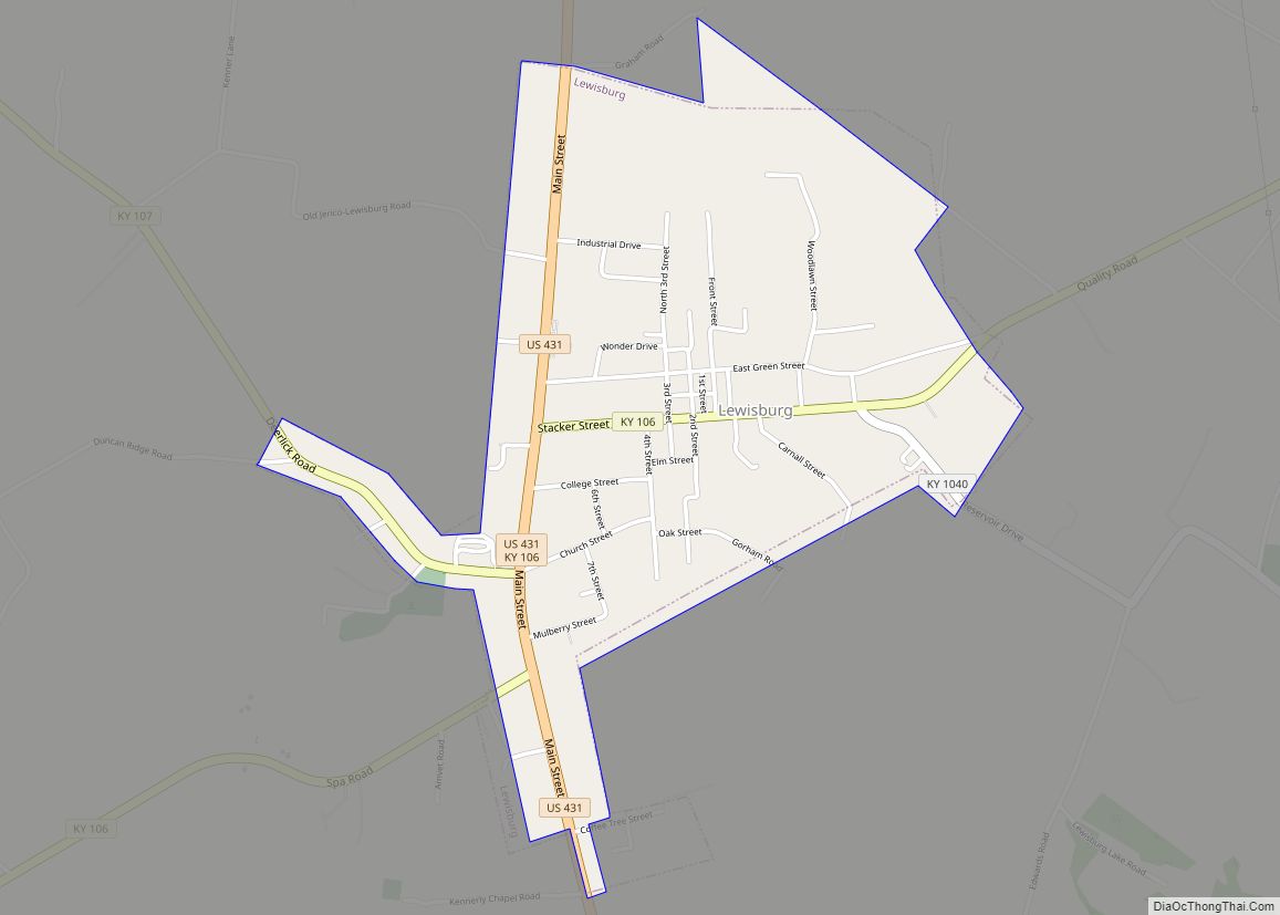
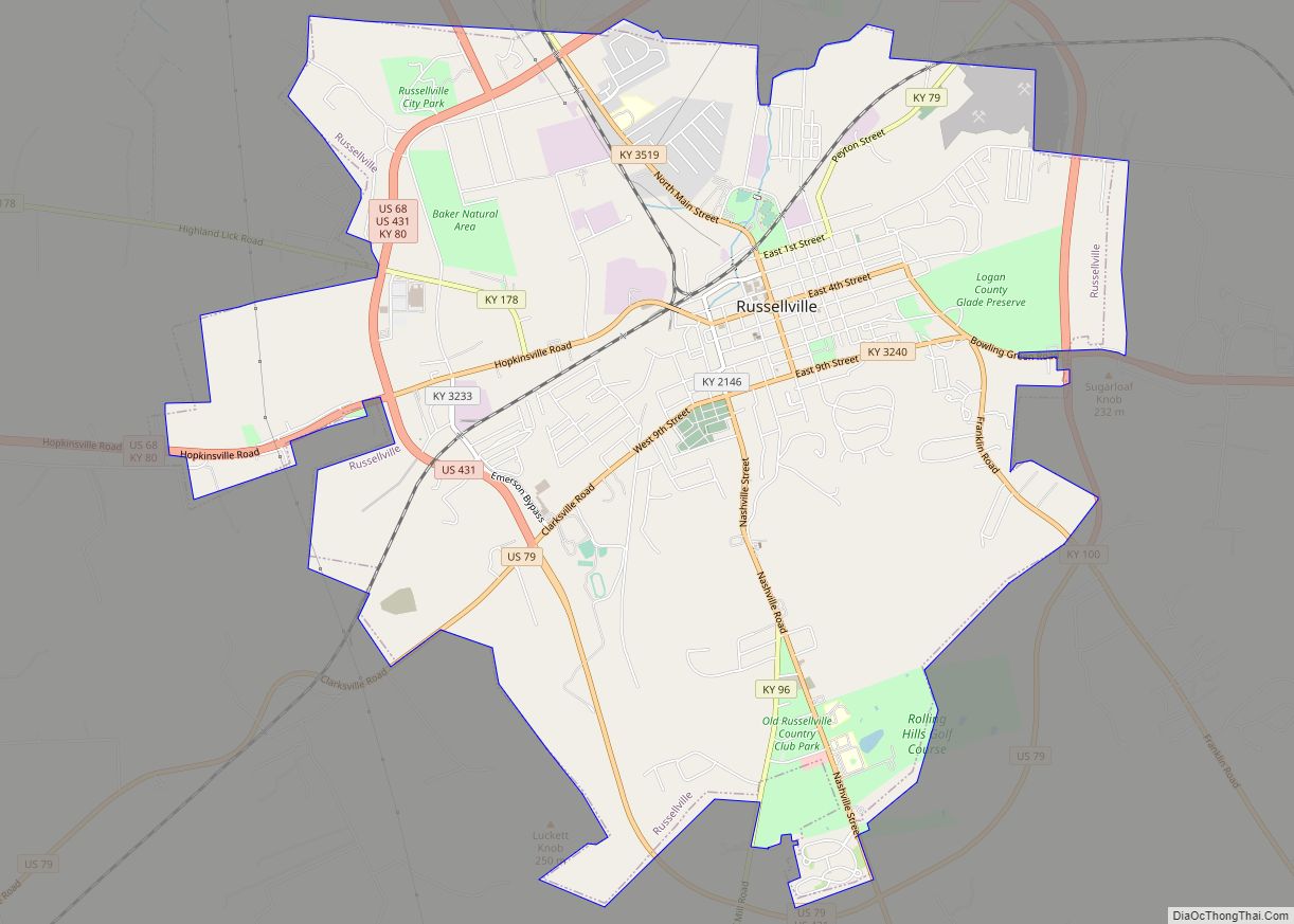
Online Interactive Map
Click on ![]() to view map in "full screen" mode.
to view map in "full screen" mode.
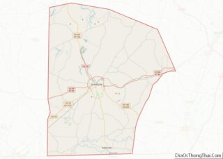
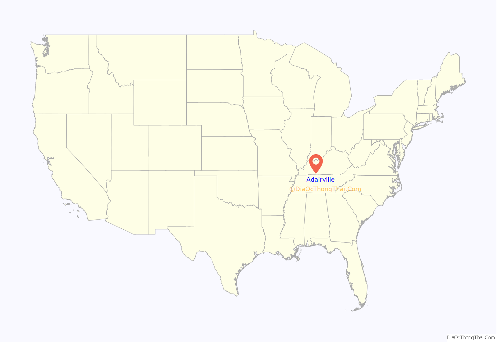
Adairville location map. Where is Adairville city?
History
Adairville was settled in the late 18th century, and was originally known as “Dromgooles’ Station”. Red River Meeting House was built in 1800 near the town and was the sight of the first religious camp meeting in the United States. It was the birthplace of the Second Great Awakening. When a town was platted in 1818, its name was changed to “Adairsville” in honor the prominent Kentucky politician. The city was incorporated in 1833. The “s” had been dropped from the name by 1881.
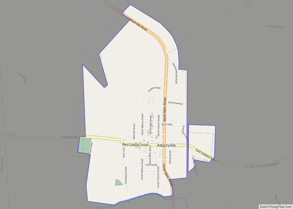
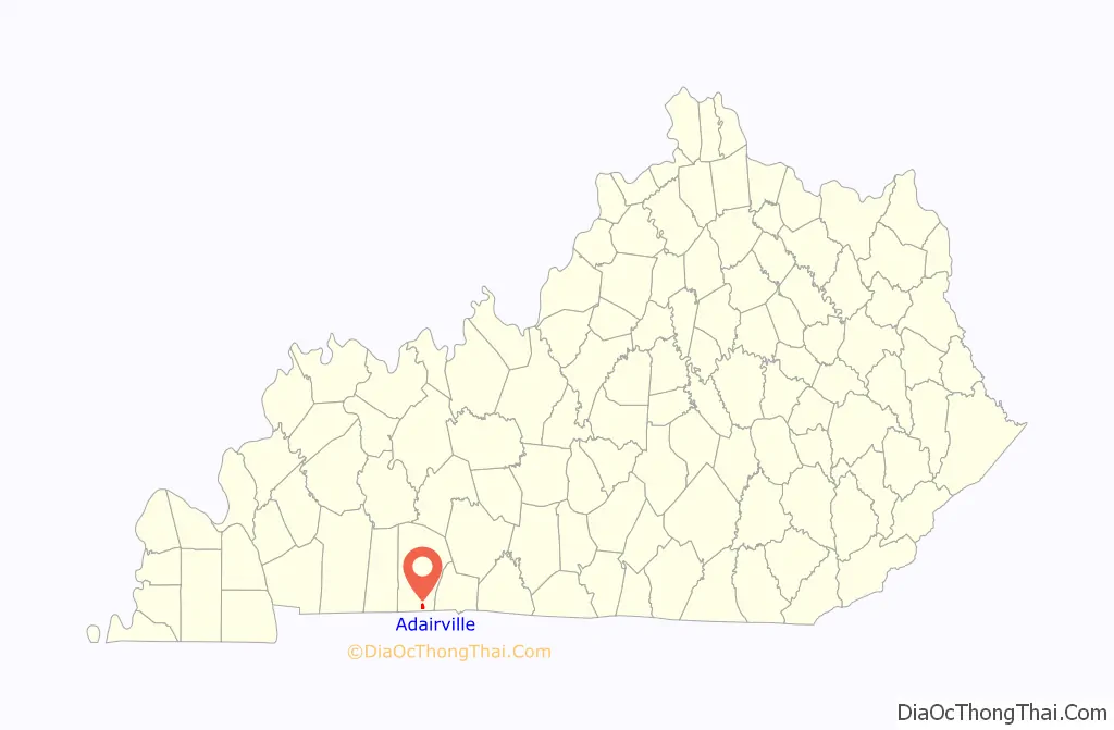
Adairville Road Map

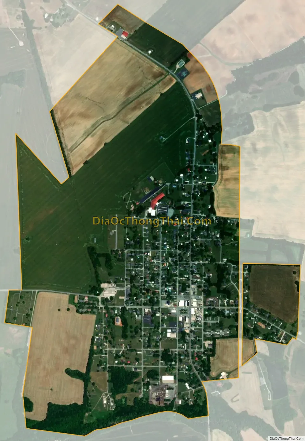
Adairville city Satellite Map
Geography
Adairville is in southern Logan County, 1.5 miles (2.4 km) north of the Kentucky–Tennessee state line. The city is concentrated around the intersection of U.S. Route 431 (Main Street) and Kentucky Route 591 (Gallatin Street). US 431 leads north 13 miles (21 km) to Russellville, the Logan county seat, and south 12 miles (19 km) to Springfield, Tennessee. Larger cities in the region are Bowling Green, Kentucky, 36 miles (58 km) to the northeast; Clarksville, Tennessee, the same distance to the southwest; and Nashville, Tennessee, 38 miles (61 km) to the south.
According to the United States Census Bureau, Adairville has a total area of 1.2 square miles (3.0 km), of which 1.22 acres (4,945 m), or 0.16%, are water. The South Fork of the Red River passes along the city’s southern border, and the Red River proper passes a few miles to the north.
See also
Map of Kentucky State and its subdivision:- Adair
- Allen
- Anderson
- Ballard
- Barren
- Bath
- Bell
- Boone
- Bourbon
- Boyd
- Boyle
- Bracken
- Breathitt
- Breckinridge
- Bullitt
- Butler
- Caldwell
- Calloway
- Campbell
- Carlisle
- Carroll
- Carter
- Casey
- Christian
- Clark
- Clay
- Clinton
- Crittenden
- Cumberland
- Daviess
- Edmonson
- Elliott
- Estill
- Fayette
- Fleming
- Floyd
- Franklin
- Fulton
- Gallatin
- Garrard
- Grant
- Graves
- Grayson
- Green
- Greenup
- Hancock
- Hardin
- Harlan
- Harrison
- Hart
- Henderson
- Henry
- Hickman
- Hopkins
- Jackson
- Jefferson
- Jessamine
- Johnson
- Kenton
- Knott
- Knox
- Larue
- Laurel
- Lawrence
- Lee
- Leslie
- Letcher
- Lewis
- Lincoln
- Livingston
- Logan
- Lyon
- Madison
- Magoffin
- Marion
- Marshall
- Martin
- Mason
- McCracken
- McCreary
- McLean
- Meade
- Menifee
- Mercer
- Metcalfe
- Monroe
- Montgomery
- Morgan
- Muhlenberg
- Nelson
- Nicholas
- Ohio
- Oldham
- Owen
- Owsley
- Pendleton
- Perry
- Pike
- Powell
- Pulaski
- Robertson
- Rockcastle
- Rowan
- Russell
- Scott
- Shelby
- Simpson
- Spencer
- Taylor
- Todd
- Trigg
- Trimble
- Union
- Warren
- Washington
- Wayne
- Webster
- Whitley
- Wolfe
- Woodford
- Alabama
- Alaska
- Arizona
- Arkansas
- California
- Colorado
- Connecticut
- Delaware
- District of Columbia
- Florida
- Georgia
- Hawaii
- Idaho
- Illinois
- Indiana
- Iowa
- Kansas
- Kentucky
- Louisiana
- Maine
- Maryland
- Massachusetts
- Michigan
- Minnesota
- Mississippi
- Missouri
- Montana
- Nebraska
- Nevada
- New Hampshire
- New Jersey
- New Mexico
- New York
- North Carolina
- North Dakota
- Ohio
- Oklahoma
- Oregon
- Pennsylvania
- Rhode Island
- South Carolina
- South Dakota
- Tennessee
- Texas
- Utah
- Vermont
- Virginia
- Washington
- West Virginia
- Wisconsin
- Wyoming