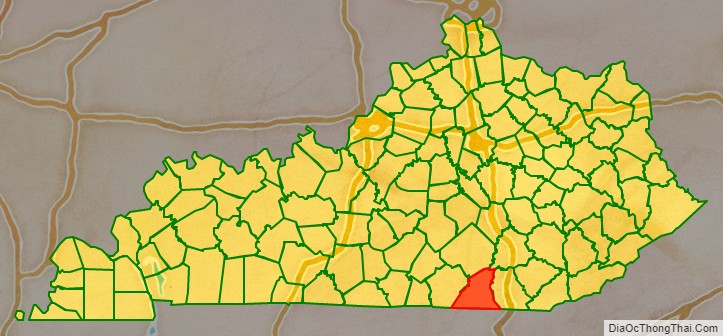
McCreary County is a county located in the U.S. state of Kentucky. As of the 2020 census, the population was 16,888. Its county seat is Whitley City. The county is named for James B. McCreary, a Confederate war soldier and two-time Governor of Kentucky (1875–1879, 1911–1915). During his second term as governor, McCreary County was created by the Legislature and was named in his honor.
| Name: | McCreary County |
|---|---|
| FIPS code: | 21-147 |
| State: | Kentucky |
| Founded: | March 12, 1912 |
| Named for: | James B. McCreary |
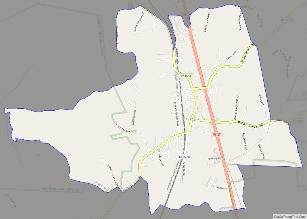
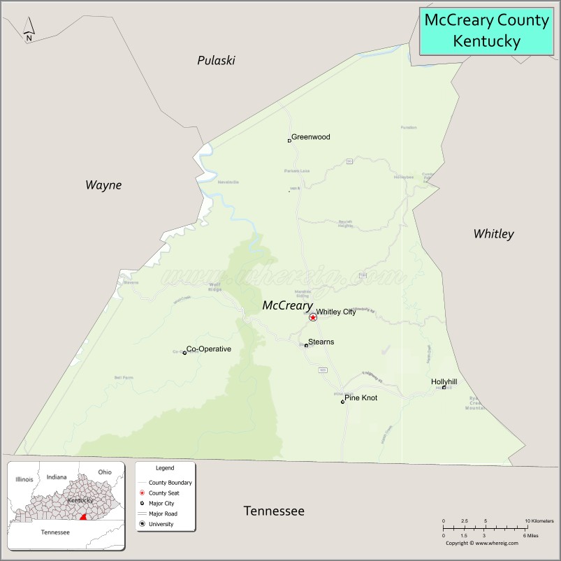
| Seat: | Whitley City |
| Total Area: | 431 sq mi (1,120 km²) |
| Land Area: | 427 sq mi (1,110 km²) |
| Total Population: | 16,888 |
| Population Density: | 39/sq mi (15/km²) |
| Time zone: | UTC−5 (Eastern) |
| Summer Time Zone (DST): | UTC−4 (EDT) |
| Website: | www.mccrearycounty.com |
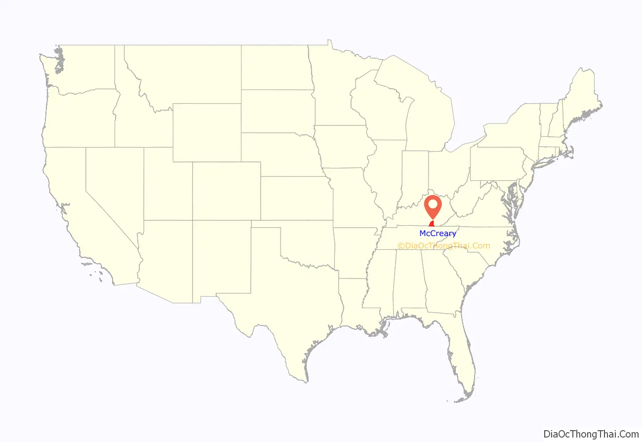
McCreary County location map. Where is McCreary County?
History
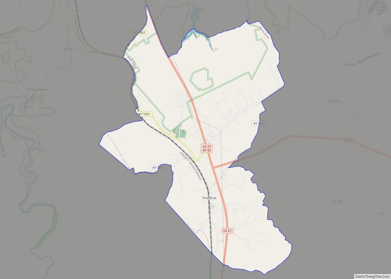
McCreary County is the only Kentucky county without an incorporated city. Because of this, county government is the sole local government agency for the entire county. Attractions in McCreary County include the Big South Fork National River and Recreation Area, Cumberland Falls State Park, and the Big South Fork Scenic Railway, which tours several former coal camps. In popular culture, McCreary County is mentioned in the FX drama Justified, for it is home to USP McCreary, near Pine Knot.
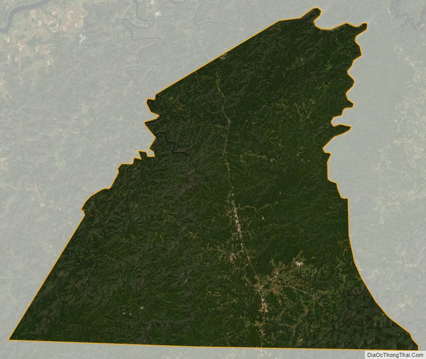
The majority of the county is controlled by the federal government. 43% is managed by the Daniel Boone National Forest, and 18% managed by the National Park Service as the Big South Fork National River and Recreation Area.
The area now encompassed by Kentucky’s McCreary County was first bounded in 1772, when all of what is now the state of Kentucky was in the frontier county of Fincastle County, Virginia. Fincastle was divided in 1776, with the western portion named Kentucky County, Virginia. In 1780, the Virginia legislature set aside all land in Kentucky County for soldiers who had served in the Revolutionary War. In 1780, Kentucky County was divided into three counties: Jefferson, Fayette, and Lincoln. In 1784, a portion of Jefferson County was partitioned off to create Nelson County, and in 1792 a portion of Lincoln County was partitioned off to create Green County. In 1798, a further portion of Lincoln County was partitioned off, and combined with parts of Green County, to create Pulaski and Cumberland Counties. The following year yet another portion of Lincoln County was partitioned off to create Knox County, and in 1800 the new Cumberland County was sectioned off to create Wayne County. In 1818, Whitley County was created from a portion of Knox County.
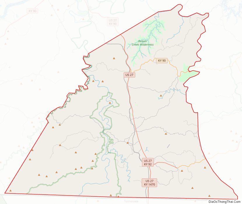
In 1912, the Kentucky Legislature partitioned parts of Pulaski, Wayne, and Whitley Counties, to create McCreary County. Its boundaries have remained unchanged since that time. the 120th and final county in order of formation. The present county boundaries contain 427.7 square miles (1,107.7 km) of land area. The majority of the county was carved out of Wayne and Whitley Counties, with a large center strip following the rail line and roadway from Pulaski County. The early history of the area is that of those counties, and is related in the historic perspectives for them. The map to the left shows the network of roadways that had been established by the 1860s. A dotted blue line and settlement names have been added for reference.
The most significant early feature of the future county was the Jacksboro Road. Running from Jacksboro, Tennessee, to Point Isabel and Somerset, this pioneer road was simply an enlargement of the Tellico Trail, an Indian route that had been used for thousands of years. Several other trails intersected this road, and led to the settlement of villages such as Pine Knot, Dripping Springs/Coolidge, and Flat Rock. Other settlement occurred in sequestered hollows. The economy of the times was based upon small-scale subsistence agriculture, timber products such as railroad ties and barrel staves, and small coal mines.
Beginning in the early 19th century, Cumberland Falls gained attention as a tourism destination. Later development increased visitation, and the Brunsen Inn was a popular destination for seasonal visitors. Until a road was built from Whitley County in 1931, the primary access to the Falls was through McCreary. With a generous contribution from one of the DuPont family heirs, the Falls joined the state park system in 1930.
The completion of the Cincinnati Southern Railway line through the county in 1880 changed its economic characteristics. Access to distant markets for timber and coal caused the emergence of many small mining and logging companies. The greatest impact came from the Justus S. Stearns enterprises. From 1903 through the rest of the century, the territory of McCreary County was dominated and controlled by Stearns company interests.
Attempting to avoid financial losses during the Great Depression of the 1930s, the Stearns cluster of companies sold vast quantities of land to the U.S. Government, becoming part of what was to become the Cumberland National Forest in 1937. This forest reserve was subsequently renamed Daniel Boone National Forest. In the 1970s, legislative action acquired additional lands in southern McCreary and Tennessee, creating the Big South Fork National River and Recreation Area in the mid-1970s.
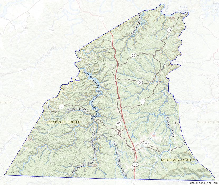
McCreary County Road Map
Geography
According to the United States Census Bureau, the county has a total area of 431 square miles (1,120 km), of which 427 square miles (1,110 km) is land and 4.1 square miles (11 km) (1.0%) is water.
Geology
McCreary County lies on the western edge of the Cumberland Plateau, which constitutes the East Kentucky Coal Field. It is located entirely within the proclamation boundary of the Daniel Boone National Forest. The county’s bedrock is deeply incised by the Big South Fork of the Cumberland River and its tributaries, creating sheer cliffs, gorges, waterfalls, rock shelters, and natural stone arches. Most of the geological underpinning of this region is capped with thick sandstone, and formidable coal seams are common in this formation. Limited lands suitable for large-scale conventional agriculture exist, so the economy of the area has historically been centered upon extractive industries such as timber and mining.
Adjacent counties
- Pulaski County (north)
- Laurel County (northeast)
- Whitley County (east)
- Campbell County, Tennessee (southeast)
- Scott County, Tennessee (south)
- Wayne County (west)
National protected areas
- Big South Fork National River and Recreation Area (part)
- Daniel Boone National Forest (part)
McCreary County Topographic Map
McCreary County Satellite Map
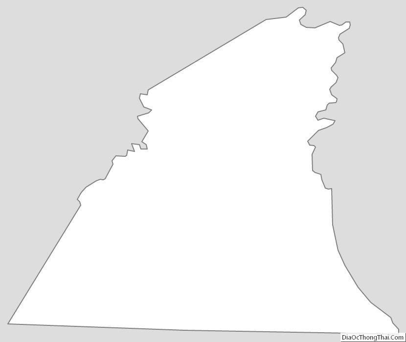
McCreary County Outline Map