Wayne County is a county in the U.S. state of Kentucky along the southern border with Tennessee. As of the 2020 census, the population was 19,555. Its county seat is Monticello. The county, on the south-central border with Tennessee, was named for Gen. Anthony Wayne, a Revolutionary War hero. As of November 3, 2020, Wayne County is a wet county—a measure allowing the sales and consumption of alcoholic drinks passed by a margin of 4,901 for and 3,966 against.
| Name: | Wayne County |
|---|---|
| FIPS code: | 21-231 |
| State: | Kentucky |
| Founded: | December 13, 1800 |
| Named for: | Anthony Wayne |
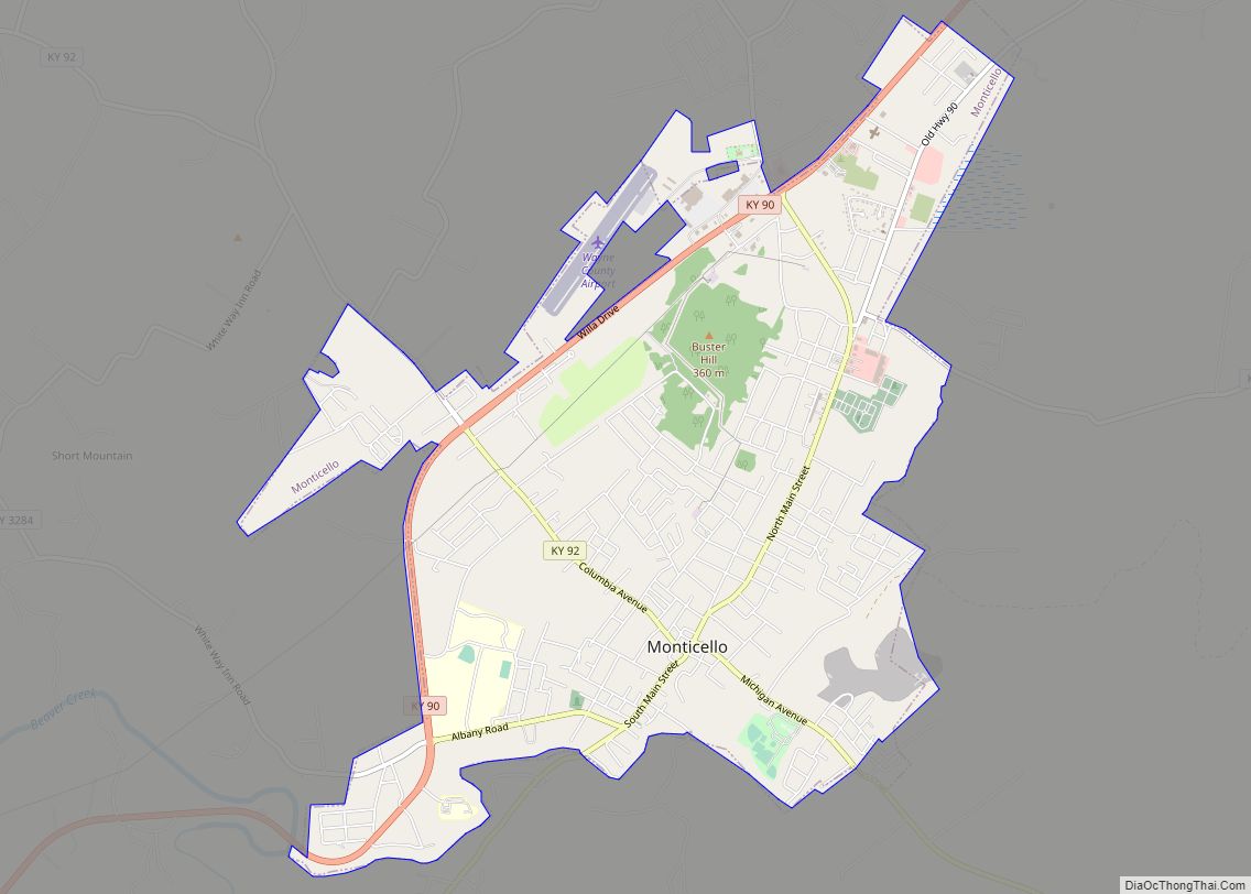
| Seat: | Monticello |
| Largest city: | Monticello |
| Total Area: | 484 sq mi (1,250 km²) |
| Land Area: | 458 sq mi (1,190 km²) |
| Total Population: | 19,555 |
| Population Density: | 40/sq mi (16/km²) |
| Time zone: | UTC−5 (Eastern) |
| Summer Time Zone (DST): | UTC−4 (EDT) |
| Website: | waynecounty.ky.gov/Pages/default.aspx |
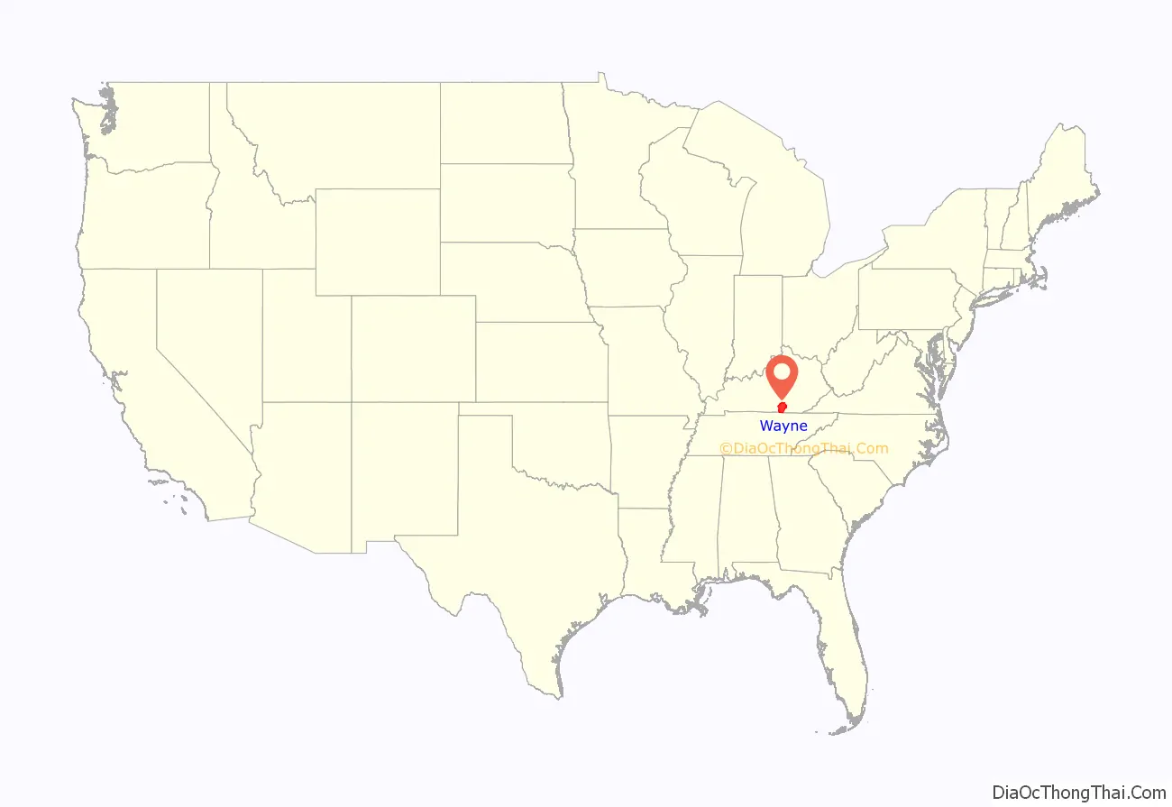
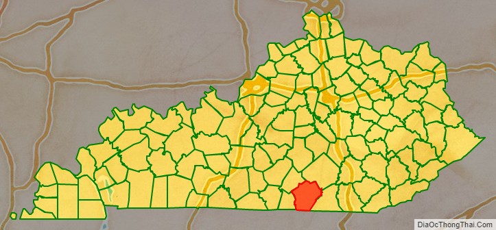
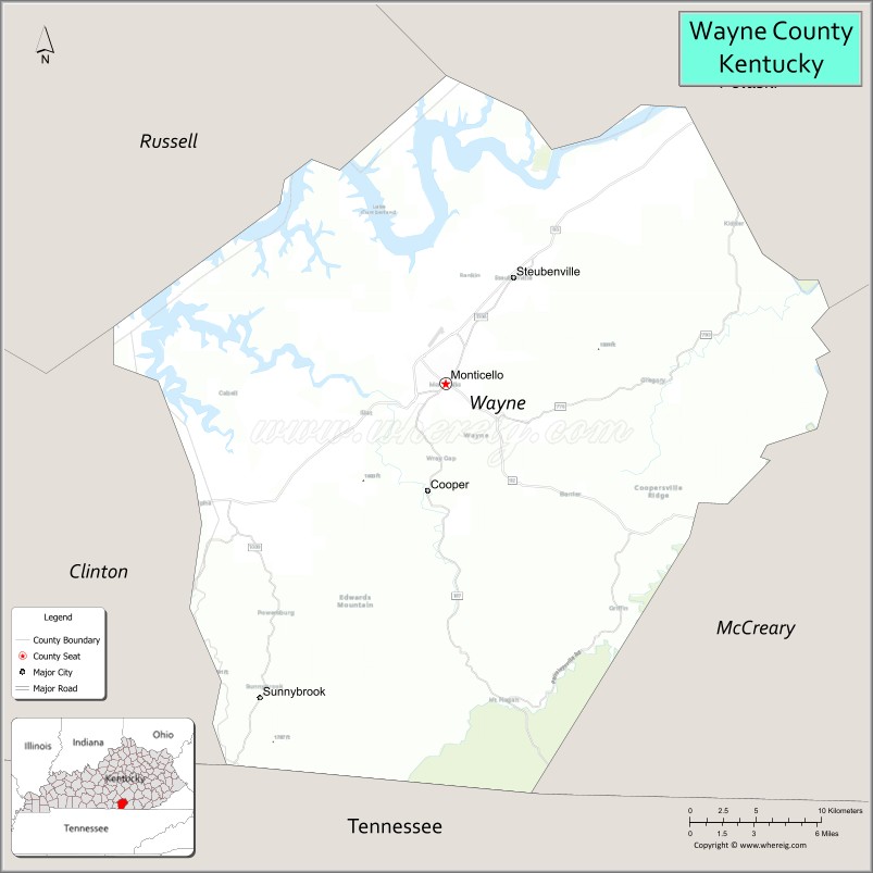
Wayne County location map. Where is Wayne County?
History
The first known European-American settlers to visit the area were longhunters who arrived in the 1770s. They established a temporary camp near Mill Springs on the Cumberland River. Benjamin Price built a log cabin in 1775, and Price’s Station became one of the earliest Kentucky settlements. This was still an area of Cherokee homeland territory, and conflicts arose between the groups as more Americans settled here.
Many Revolutionary War veterans followed Price, including Joshua Jones, who arrived in 1794, Jonathan and James Ingram in 1796, Cornelius Phillips in 1798, and Isaac West in 1799. Veterans, they had each been given land grants in the area, in lieu of back salary payments by the United States government from the war.
Wayne County was formed December 13, 1800 from Pulaski and Cumberland counties. It was the 43rd county in the state and is named for General “Mad Anthony” Wayne, a hero of the American Revolution and the Northwest Indian War. Wayne’s victory at the Battle of Fallen Timbers virtually ended the Indian threat against Kentucky settlers.
The area was developed for agriculture, and planters used enslaved African Americans as laborers. Early in the Civil War, Confederate Army General Felix Zollicoffer made his headquarters in the Brown-Lanier House at Mill Springs. He was killed at the Battle of Mill Springs on January 19, 1862, when he mistook some Union troops for his own and approached them. The Union men shot him dead, and without their leader, the Confederate were defeated.
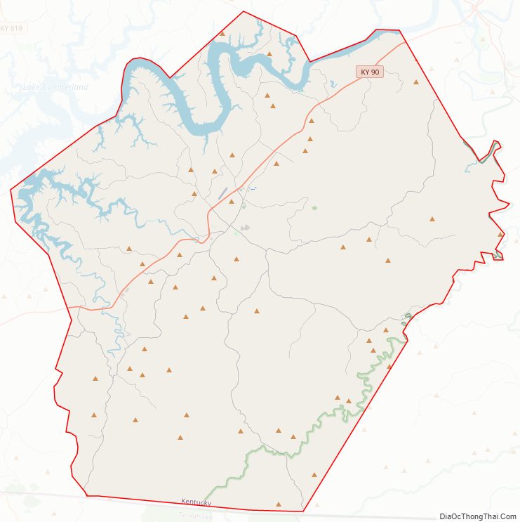
Wayne County Road Map
Geography
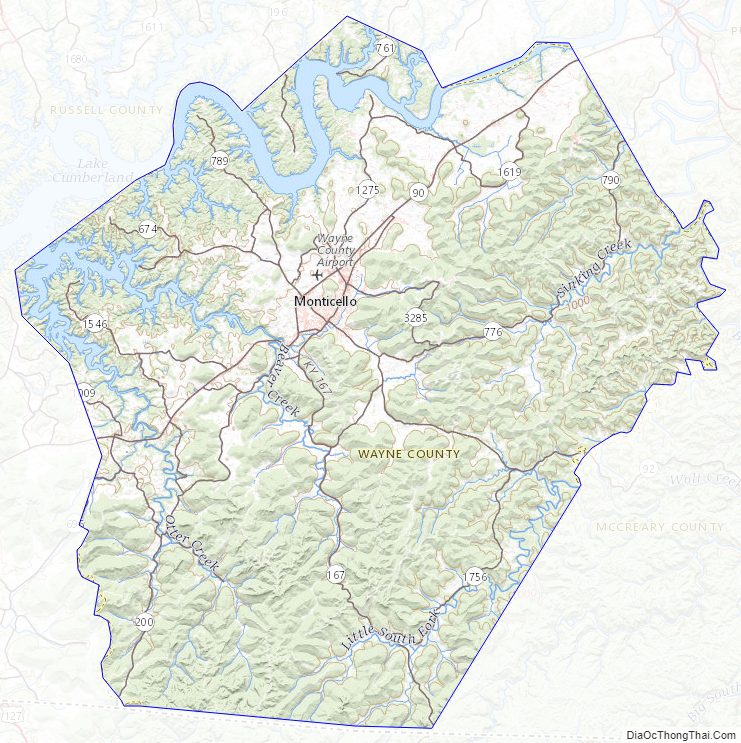
According to the United States Census Bureau, the county has a total area of 484 square miles (1,250 km), of which 458 square miles (1,190 km) is land and 26 square miles (67 km) (5.4%) is water.
The county’s elevation ranges from 656 feet (200 m) to 1,870 feet (570 m) ASL, at the Monticello/Wayne County Airport the elevation is 963 feet (294 m). Wayne County is located in the Pennyrile Plateau (image) and Eastern Coal Field (image) regions of Kentucky.
Adjacent counties
- Russell County – northwest/CST Border
- Pulaski County – northeast
- McCreary County – east
- Scott County, Tennessee – southeast
- Pickett County, Tennessee – south/CST Border
- Clinton County – west/CST Border
National protected area
- Daniel Boone National Forest (part)
Time zone boundary
Wayne County is on Eastern Time; however, its western border, shared with Clinton and Russell Counties, is part of the Eastern/Central time zone boundary, as is its southern border with Pickett County, TN. Wayne County observed Central time until October 2000; an account of this change is documented in an article by Dr. Stanley Brunn of the University of Kentucky.
The county has the tz database zone identifier America/Kentucky/Monticello.
Wayne County Topographic Map
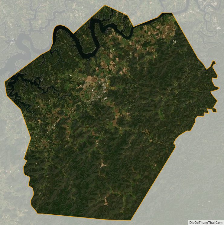
Wayne County Satellite Map
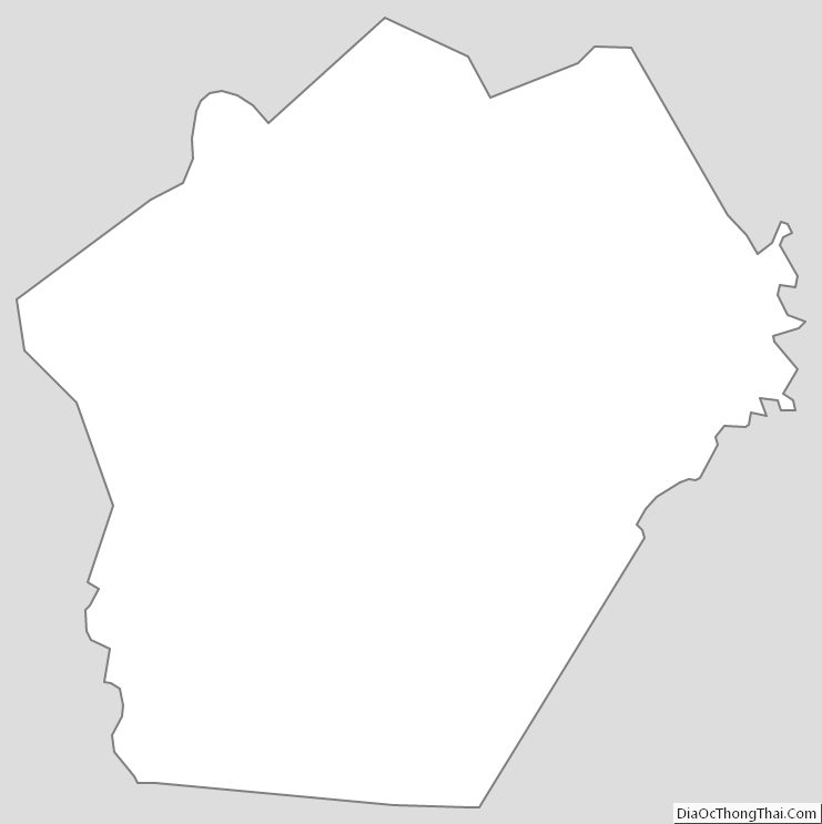
Wayne County Outline Map