Cumberland County is a county located in the Pennyroyal Plateau region of the U.S. state of Kentucky. As of the 2020 census, the population was 5,888. Its county seat is Burkesville. The county was formed in 1798 and named for the Cumberland River, which in turn may have been named after the Duke of Cumberland or the English county of Cumberland.
| Name: | Cumberland County |
|---|---|
| FIPS code: | 21-057 |
| State: | Kentucky |
| Founded: | 1798 |
| Named for: | Cumberland River |
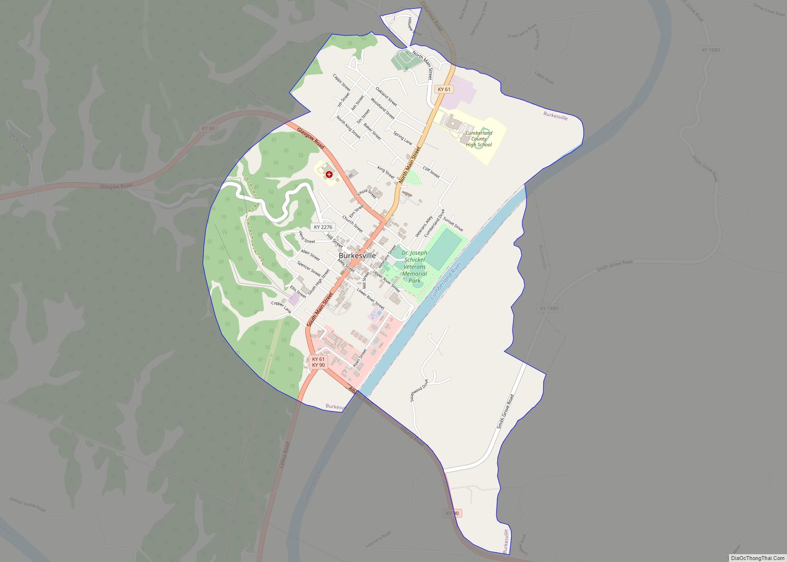
| Seat: | Burkesville |
| Largest city: | Burkesville |
| Total Area: | 311 sq mi (810 km²) |
| Land Area: | 305 sq mi (790 km²) |
| Total Population: | 5,888 |
| Population Density: | 19/sq mi (7.3/km²) |
| Time zone: | UTC−6 (Central) |
| Summer Time Zone (DST): | UTC−5 (CDT) |
| Website: | www.cumberlandcounty.com |
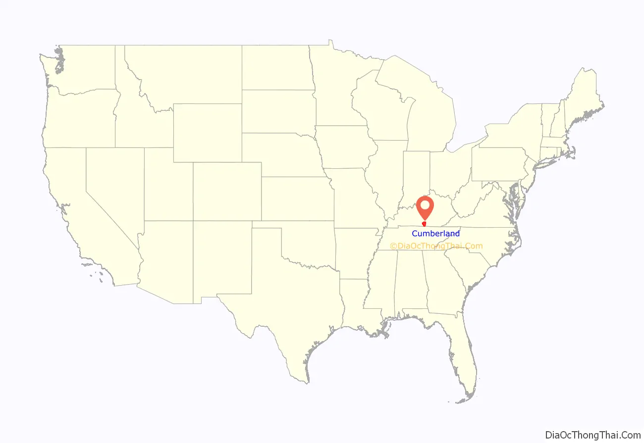
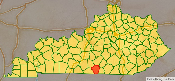
Cumberland County location map. Where is Cumberland County?
History
Cumberland County was created in 1798 from land given by Green County. In 1829, the first commercial oil well in the United States was dug three miles north of Burkesville. It is usually not recognized as a commercial well because the drillers were looking for salt brine, but the oil was bottled and sold.
It was the first county in the United States to elect a female sheriff, Pearl Carter Pace.
Burkesville is the first town downstream from Wolf Creek Dam, so it is considered flood-proof, but there have been concerns about leaks at the dam. The U.S. Army Corps of Engineers completed repairs in 2013.
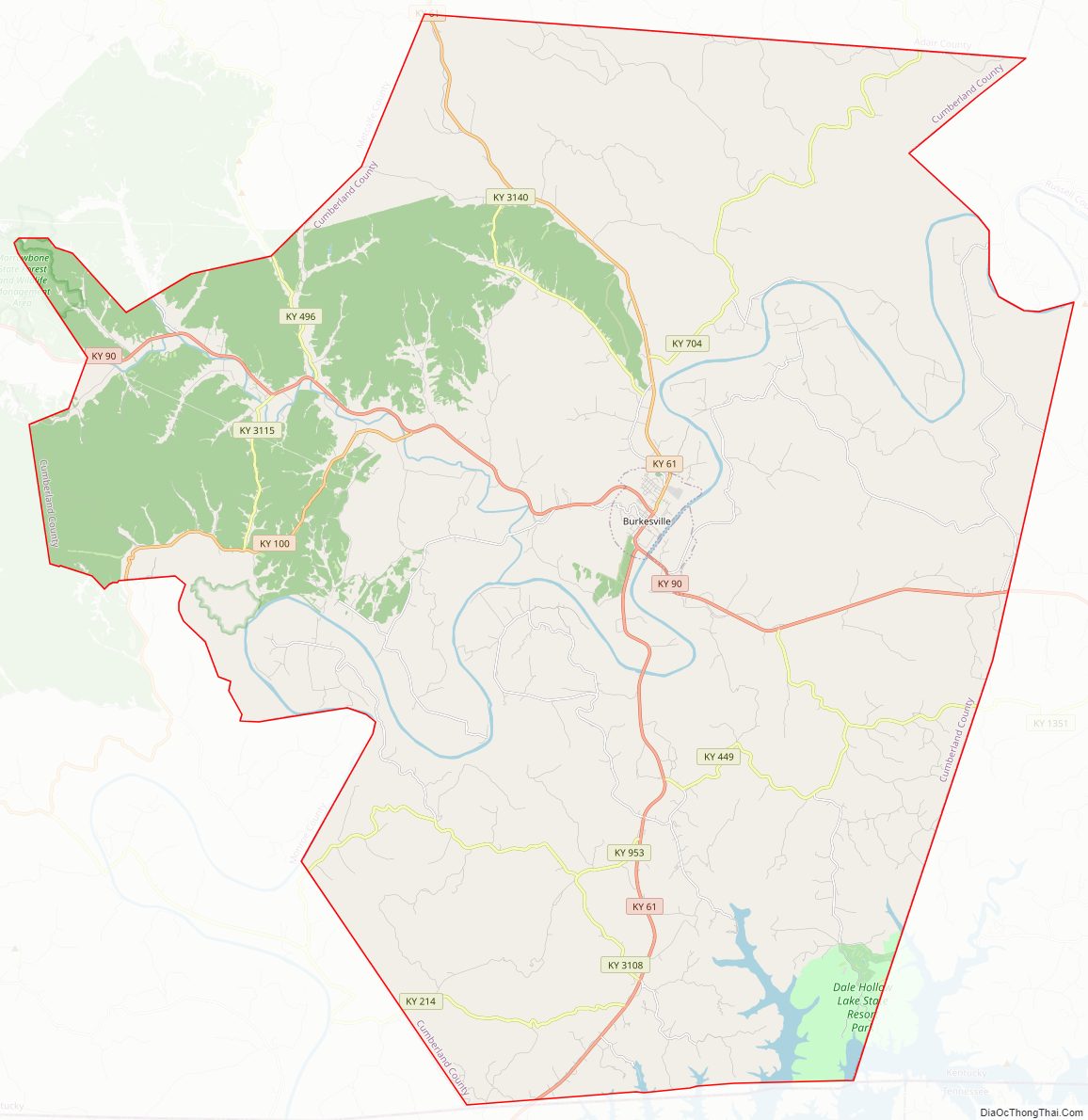
Cumberland County Road Map
Geography
According to the U.S. Census Bureau, the county has a total area of 311 square miles (810 km), of which 305 square miles (790 km) is land and 5.7 square miles (15 km) (1.8%) is water. Major waterways include the Cumberland River and a small branch of Dale Hollow Lake which covers the southern end of the county.
Adjacent counties
- Adair County (north)
- Russell County (northeast)
- Clinton County (east)
- Clay County, Tennessee (south)
- Monroe County (west)
- Metcalfe County (northwest)
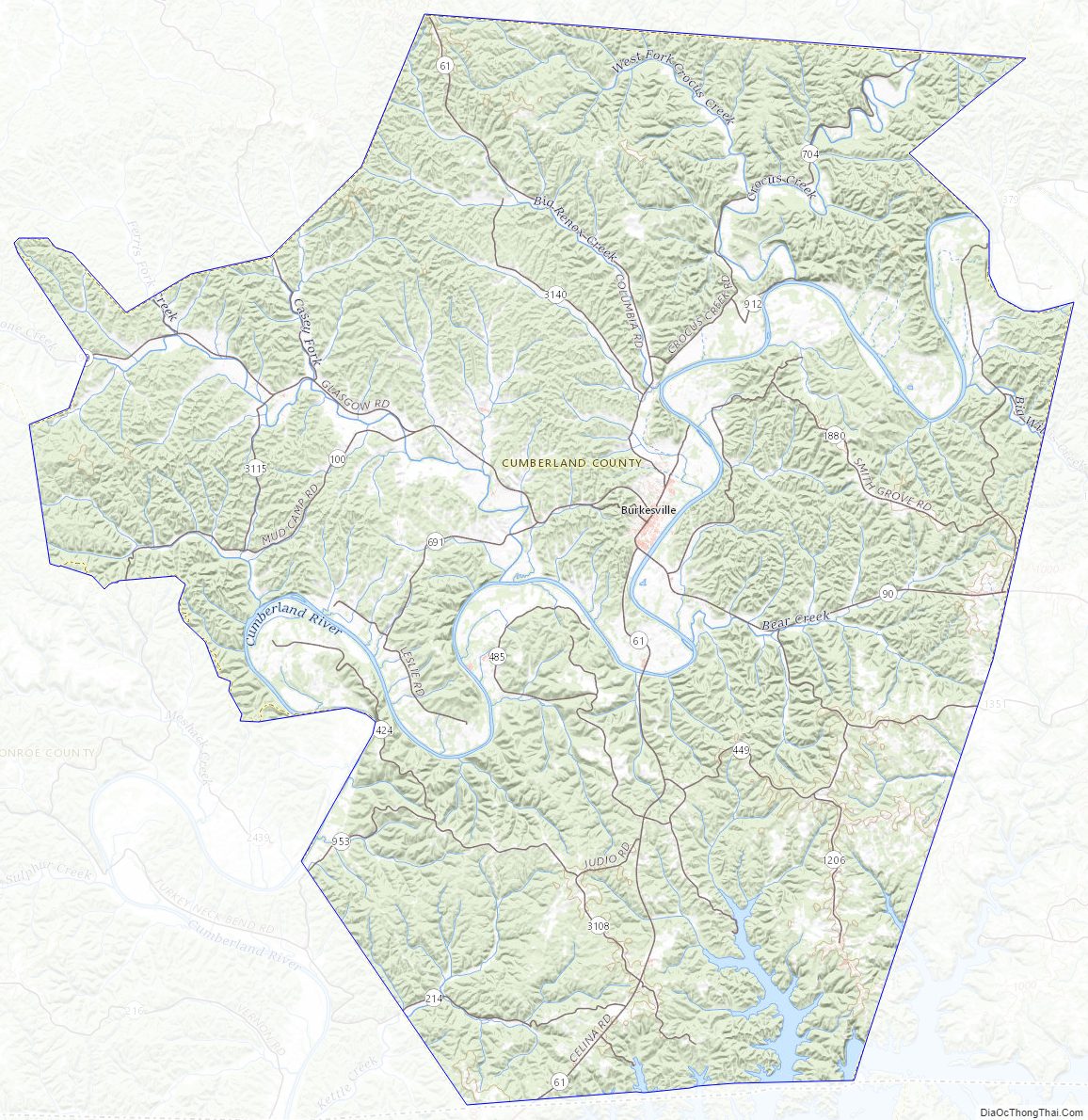
Cumberland County Topographic Map
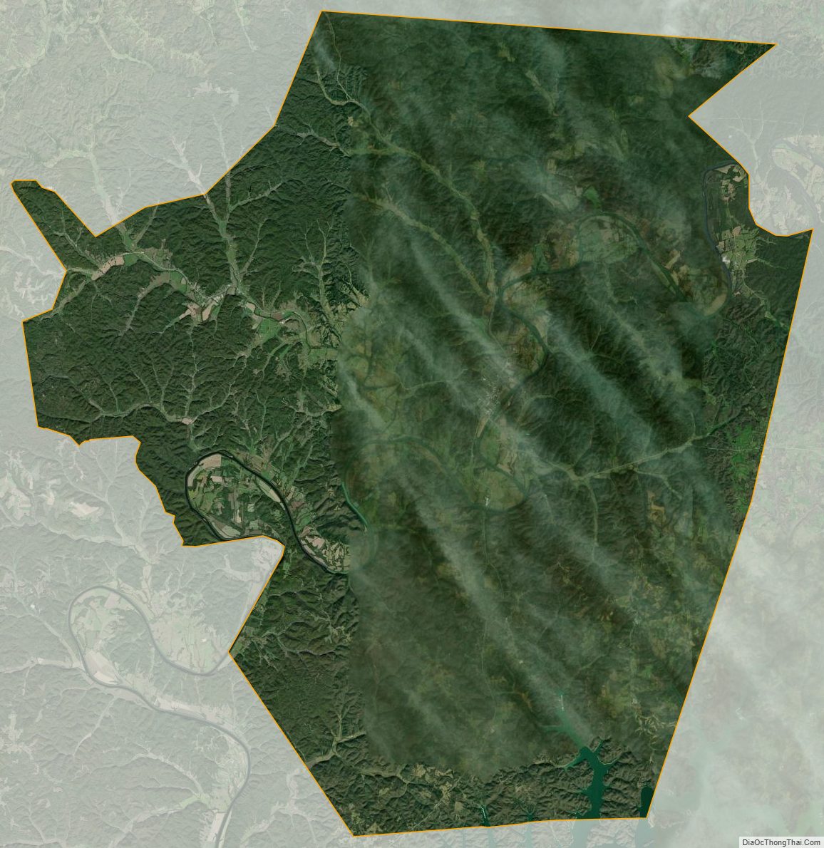
Cumberland County Satellite Map
Cumberland County Outline Map