Whitley City is an unincorporated community and census-designated place (CDP) in McCreary County, Kentucky, United States. The population was 968 at the 2020 census, down from 1,170 in 2010. It is the county seat of McCreary County. Whitley City is one of two unincorporated county seats in Kentucky (the other being Burlington in Boone County).
| Name: | Whitley City CDP |
|---|---|
| LSAD Code: | 57 |
| LSAD Description: | CDP (suffix) |
| State: | Kentucky |
| County: | McCreary County |
| Elevation: | 1,352 ft (412 m) |
| Total Area: | 2.32 sq mi (6.00 km²) |
| Land Area: | 2.31 sq mi (5.97 km²) |
| Water Area: | 0.01 sq mi (0.03 km²) |
| Total Population: | 968 |
| Population Density: | 419.59/sq mi (162.02/km²) |
| ZIP code: | 42653 |
| Area code: | 606 |
| FIPS code: | 2182938 |
| GNISfeature ID: | 0516340 |
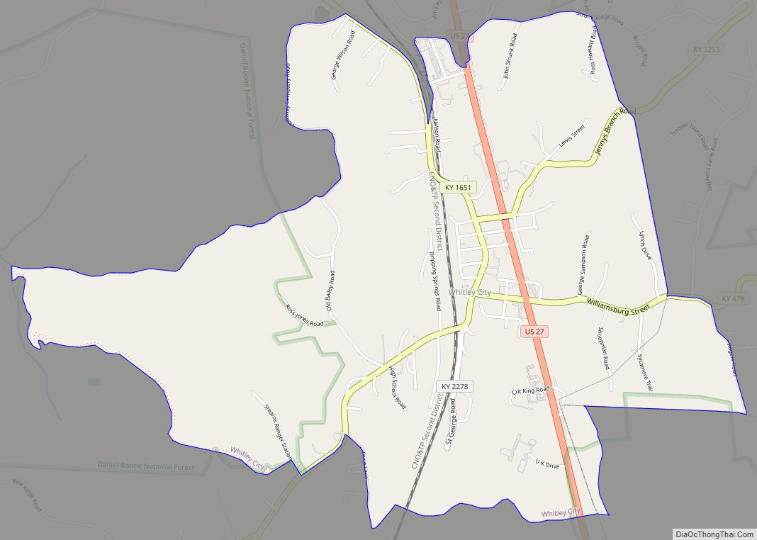
Online Interactive Map
Click on ![]() to view map in "full screen" mode.
to view map in "full screen" mode.
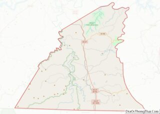
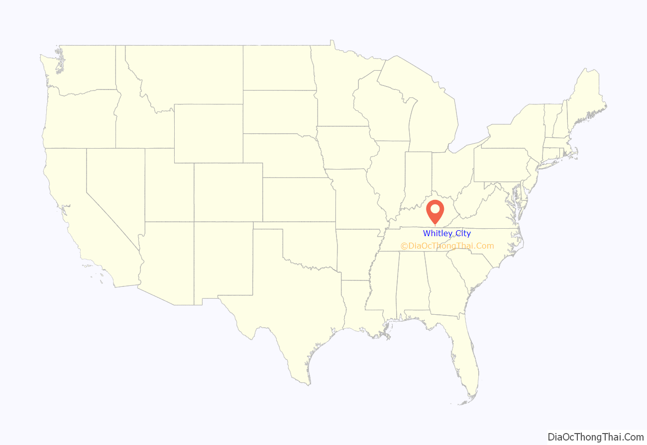
Whitley City location map. Where is Whitley City CDP?
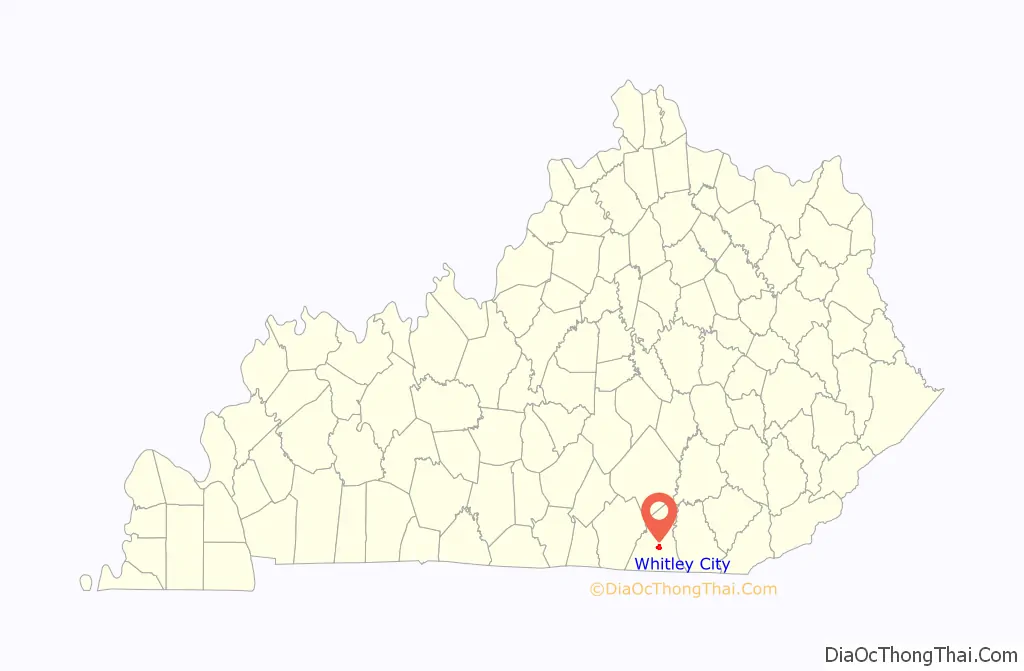
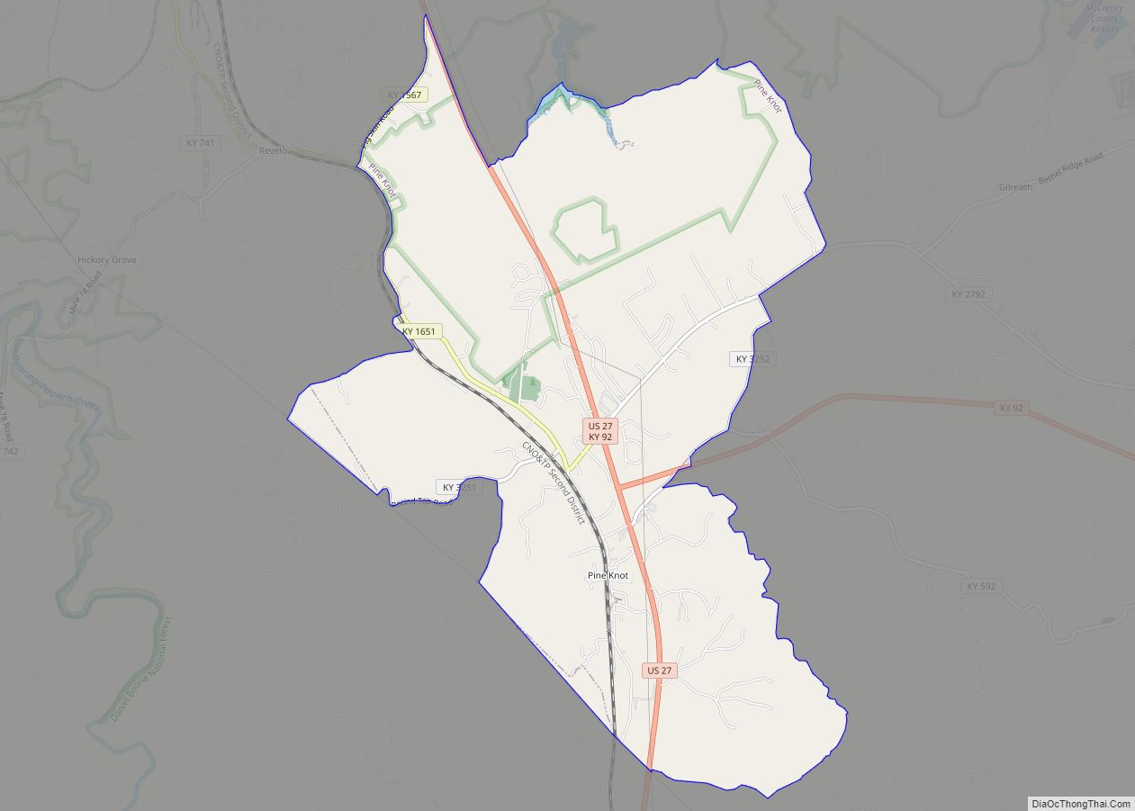
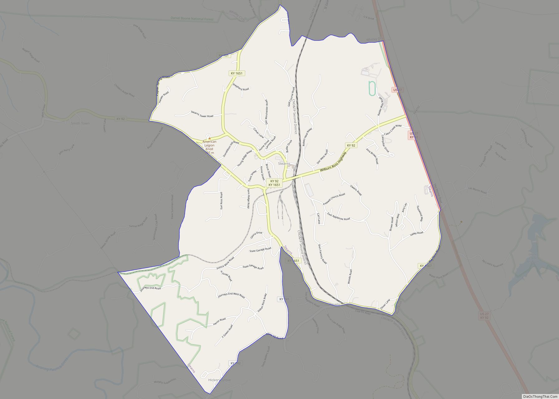
Whitley City Road Map

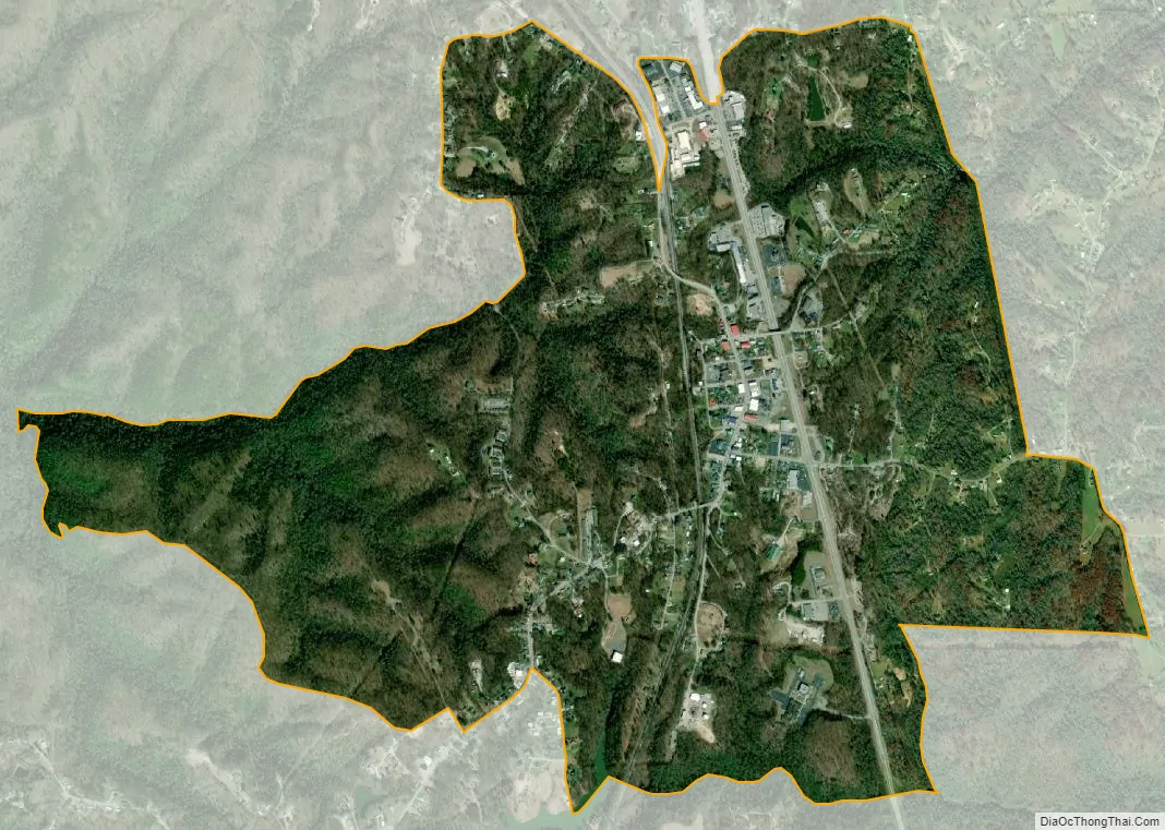
Whitley City city Satellite Map
Geography
Whitley City is located in central McCreary County at 36°43′28″N 84°28′13″W / 36.72444°N 84.47028°W / 36.72444; -84.47028 (36.724389, -84.470342). It is bordered to the south by the community of Stearns. U.S. Route 27 passes through the east side of Whitley City, leading north 30 miles (48 km) to Somerset and south 18 miles (29 km) to Oneida, Tennessee.
According to the United States Census Bureau, the Whitley City CDP has a total area of 2.32 square miles (6.0 km), of which 0.01 square miles (0.03 km), or 0.43%, are water. Yahoo Falls on the course of Yahoo Creek, a tributary of the South Fork of the Cumberland River, is located 4 miles (6 km) to the northwest.
See also
Map of Kentucky State and its subdivision:- Adair
- Allen
- Anderson
- Ballard
- Barren
- Bath
- Bell
- Boone
- Bourbon
- Boyd
- Boyle
- Bracken
- Breathitt
- Breckinridge
- Bullitt
- Butler
- Caldwell
- Calloway
- Campbell
- Carlisle
- Carroll
- Carter
- Casey
- Christian
- Clark
- Clay
- Clinton
- Crittenden
- Cumberland
- Daviess
- Edmonson
- Elliott
- Estill
- Fayette
- Fleming
- Floyd
- Franklin
- Fulton
- Gallatin
- Garrard
- Grant
- Graves
- Grayson
- Green
- Greenup
- Hancock
- Hardin
- Harlan
- Harrison
- Hart
- Henderson
- Henry
- Hickman
- Hopkins
- Jackson
- Jefferson
- Jessamine
- Johnson
- Kenton
- Knott
- Knox
- Larue
- Laurel
- Lawrence
- Lee
- Leslie
- Letcher
- Lewis
- Lincoln
- Livingston
- Logan
- Lyon
- Madison
- Magoffin
- Marion
- Marshall
- Martin
- Mason
- McCracken
- McCreary
- McLean
- Meade
- Menifee
- Mercer
- Metcalfe
- Monroe
- Montgomery
- Morgan
- Muhlenberg
- Nelson
- Nicholas
- Ohio
- Oldham
- Owen
- Owsley
- Pendleton
- Perry
- Pike
- Powell
- Pulaski
- Robertson
- Rockcastle
- Rowan
- Russell
- Scott
- Shelby
- Simpson
- Spencer
- Taylor
- Todd
- Trigg
- Trimble
- Union
- Warren
- Washington
- Wayne
- Webster
- Whitley
- Wolfe
- Woodford
- Alabama
- Alaska
- Arizona
- Arkansas
- California
- Colorado
- Connecticut
- Delaware
- District of Columbia
- Florida
- Georgia
- Hawaii
- Idaho
- Illinois
- Indiana
- Iowa
- Kansas
- Kentucky
- Louisiana
- Maine
- Maryland
- Massachusetts
- Michigan
- Minnesota
- Mississippi
- Missouri
- Montana
- Nebraska
- Nevada
- New Hampshire
- New Jersey
- New Mexico
- New York
- North Carolina
- North Dakota
- Ohio
- Oklahoma
- Oregon
- Pennsylvania
- Rhode Island
- South Carolina
- South Dakota
- Tennessee
- Texas
- Utah
- Vermont
- Virginia
- Washington
- West Virginia
- Wisconsin
- Wyoming