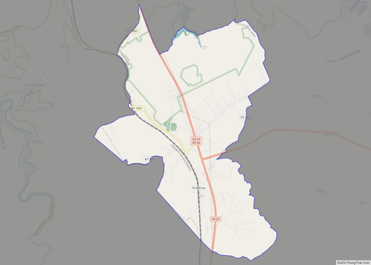
Pine Knot is an unincorporated community and census-designated place (CDP) in McCreary County, Kentucky, United States. The population was 1,380 at the 2020 census, down from 1,621 in 2010.
| Name: | Pine Knot CDP |
|---|---|
| LSAD Code: | 57 |
| LSAD Description: | CDP (suffix) |
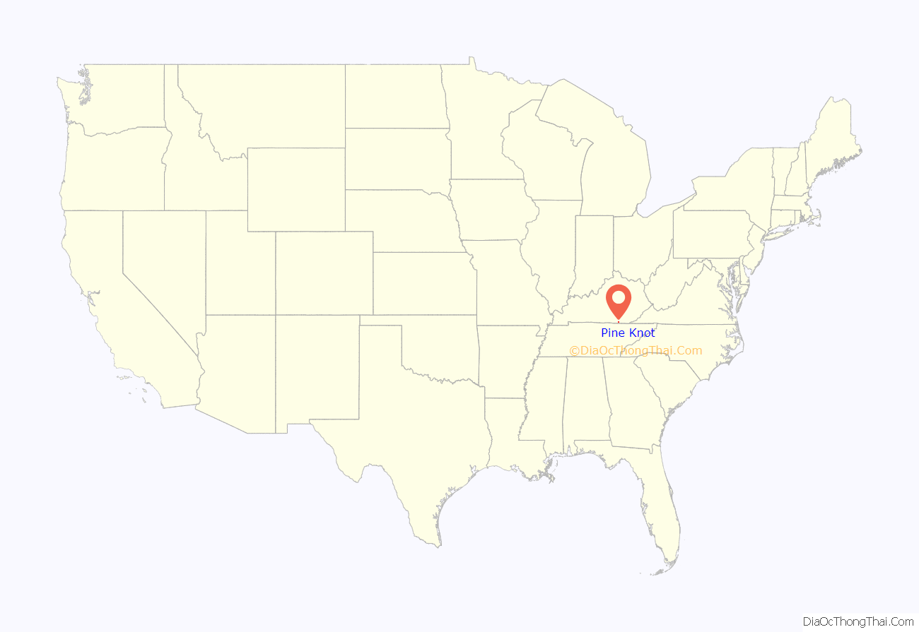
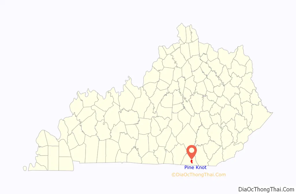
| State: | Kentucky |
| County: | McCreary County |
| Elevation: | 1,421 ft (433 m) |
| Total Area: | 6.47 sq mi (16.75 km²) |
| Land Area: | 6.40 sq mi (16.59 km²) |
| Water Area: | 0.06 sq mi (0.16 km²) |
| Total Population: | 1,380 |
| Population Density: | 215.49/sq mi (83.19/km²) |
| ZIP code: | 42635 |
| Area code: | 606 |
| FIPS code: | 2161122 |
| GNISfeature ID: | 0514591 |
Online Interactive Map
Click on ![]() to view map in "full screen" mode.
to view map in "full screen" mode.
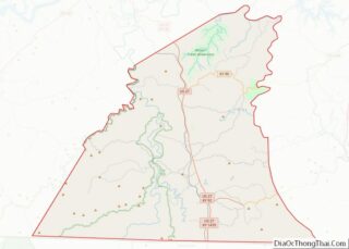
Pine Knot location map. Where is Pine Knot CDP?
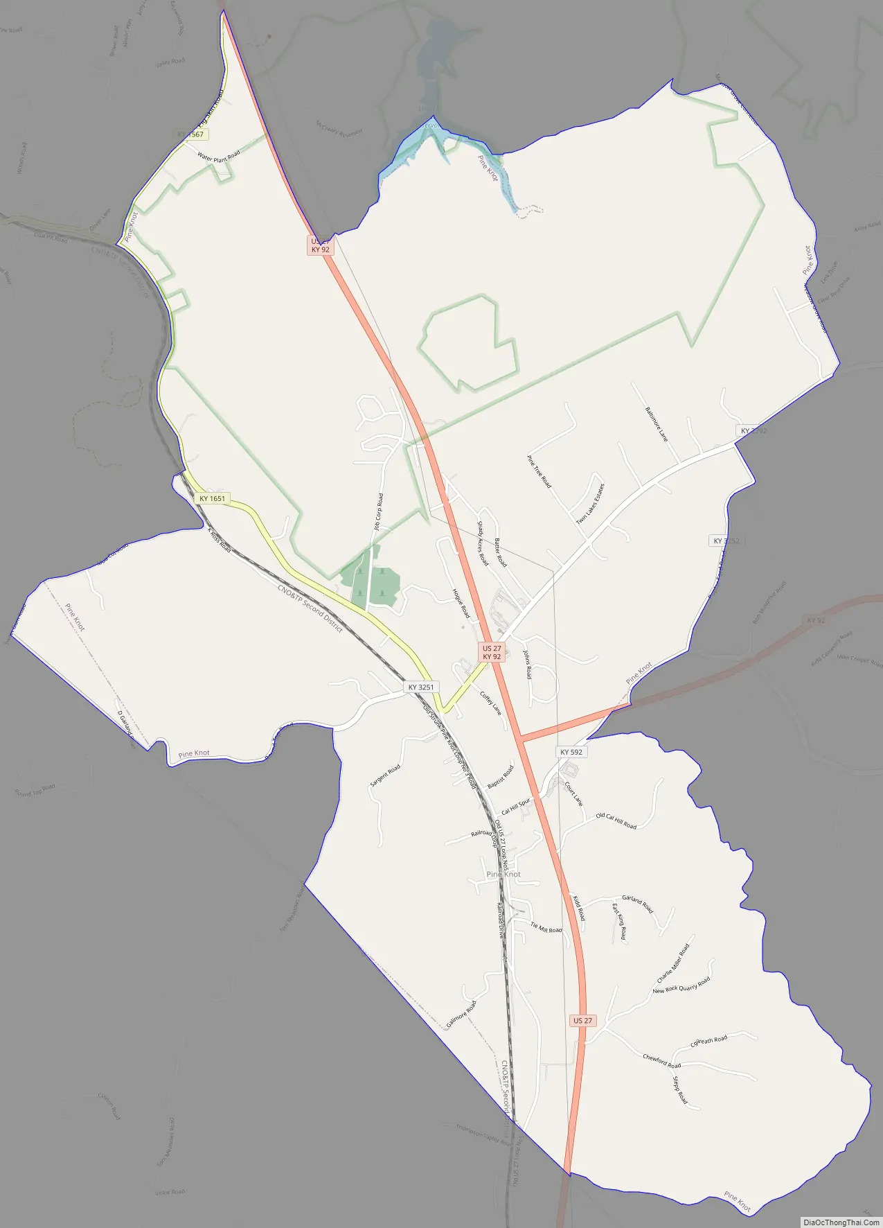
Pine Knot Road Map
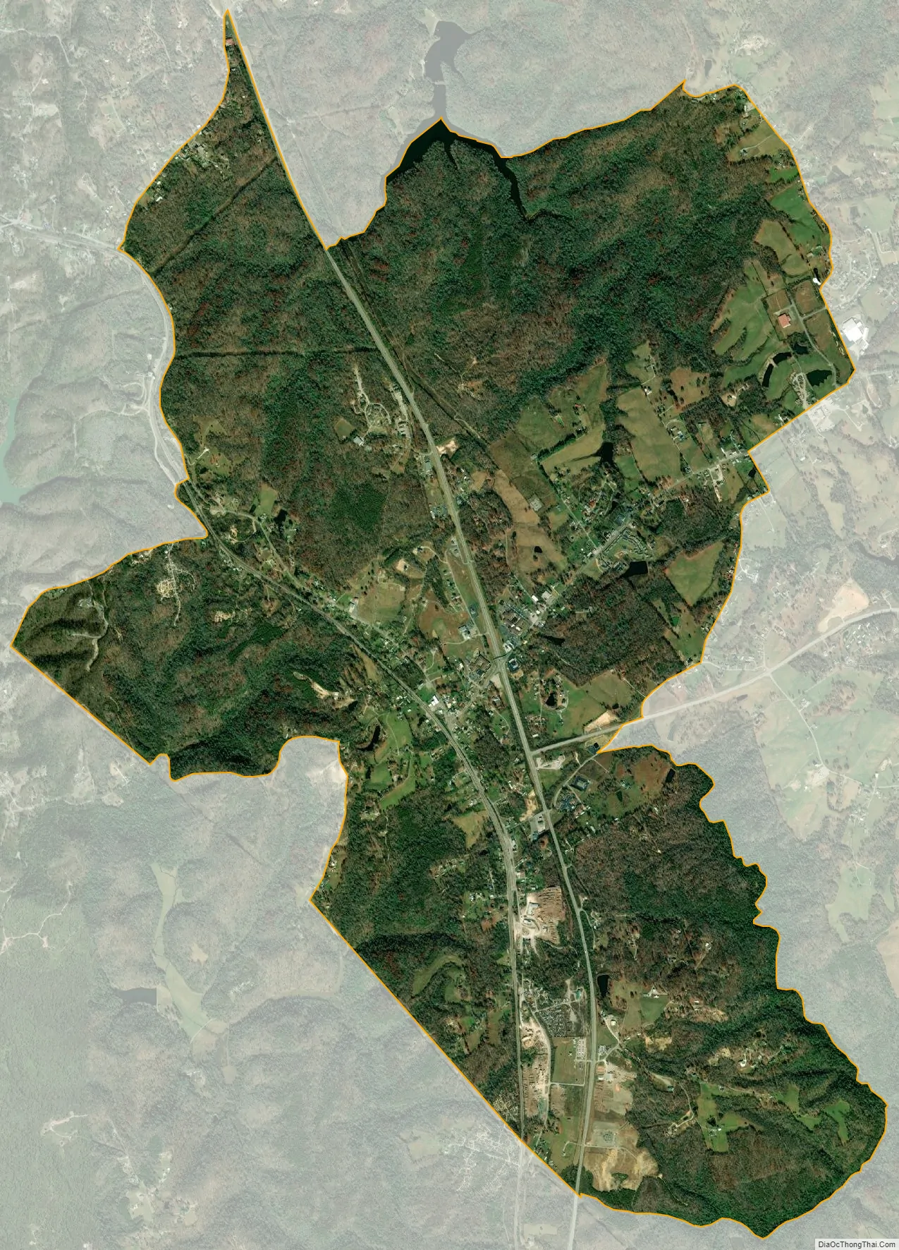
Pine Knot city Satellite Map
Geography
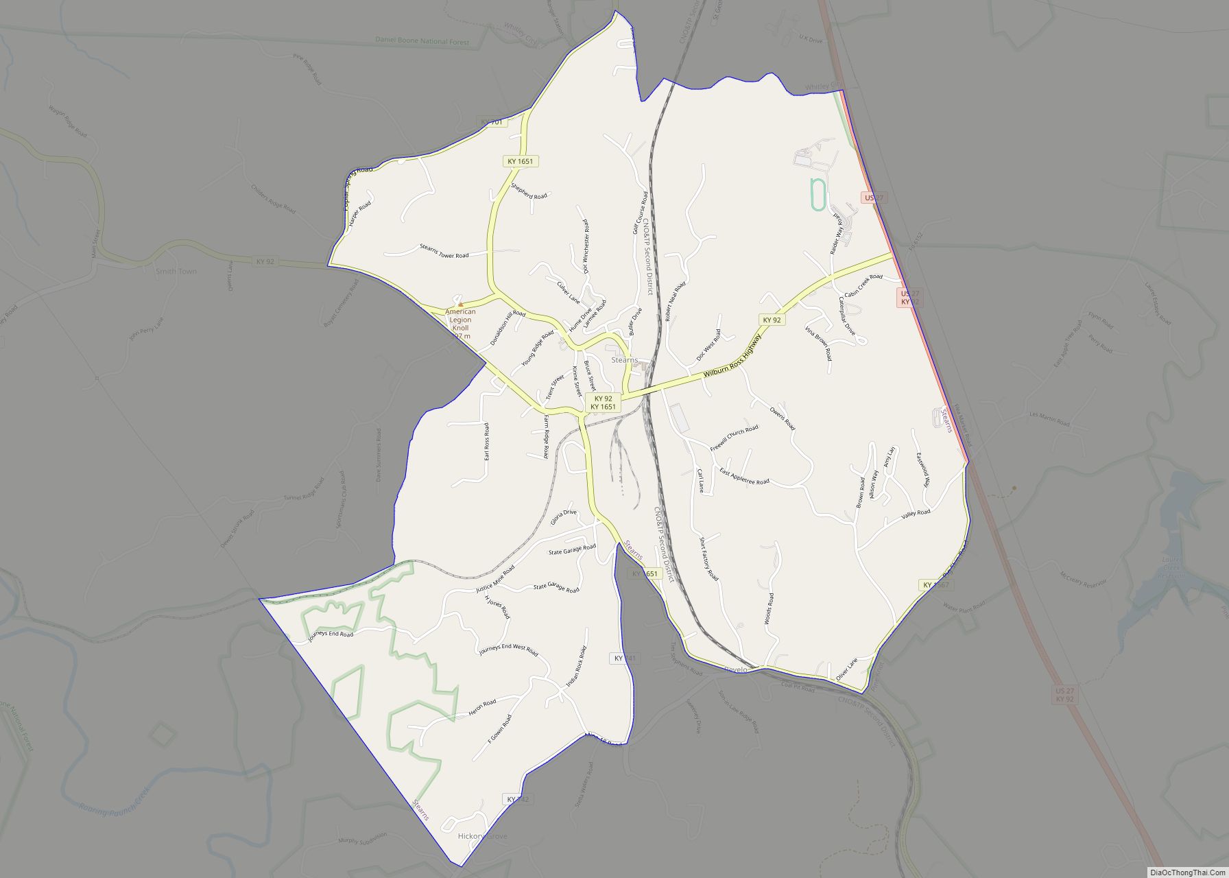
Pine Knot is located in southern McCreary County at 36°39′41″N 84°26′25″W / 36.66139°N 84.44028°W / 36.66139; -84.44028 (36.661333, -84.440412). It is bordered to the north by Stearns and to the south by Strunk.
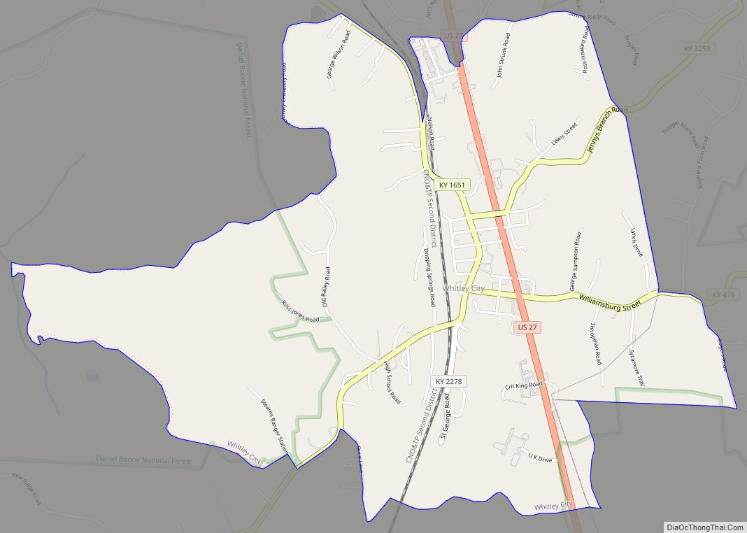
U.S. Route 27 passes through Pine Knot east of the original center of town. The highway leads north 5 miles (8 km) to Whitley City, the McCreary county seat, and 35 miles (56 km) to Somerset, while to the south it leads 12 miles (19 km) to Oneida, Tennessee. Kentucky Route 92 intersects US 27 in Pine Knot, leading east 19 miles (31 km) to Williamsburg. KY 92 turns north with US 27 as far as Stearns.
According to the U.S. Census Bureau, the Pine Knot CDP has a total area of 6.47 square miles (16.8 km), of which 0.06 square miles (0.16 km), or 0.96%, are water. The community sits on a ridge which drains west to the Smith Fork, north to Laurel Creek, and east to Perkins Creek. Laurel Creek and Perkins Creek are tributaries of Marsh Creek, a north-flowing tributary of the Cumberland River, while the Smith Fork is a tributary of Roaring Paunch Creek, which flows to the South Fork of the Cumberland River.
See also
Map of Kentucky State and its subdivision:- Adair
- Allen
- Anderson
- Ballard
- Barren
- Bath
- Bell
- Boone
- Bourbon
- Boyd
- Boyle
- Bracken
- Breathitt
- Breckinridge
- Bullitt
- Butler
- Caldwell
- Calloway
- Campbell
- Carlisle
- Carroll
- Carter
- Casey
- Christian
- Clark
- Clay
- Clinton
- Crittenden
- Cumberland
- Daviess
- Edmonson
- Elliott
- Estill
- Fayette
- Fleming
- Floyd
- Franklin
- Fulton
- Gallatin
- Garrard
- Grant
- Graves
- Grayson
- Green
- Greenup
- Hancock
- Hardin
- Harlan
- Harrison
- Hart
- Henderson
- Henry
- Hickman
- Hopkins
- Jackson
- Jefferson
- Jessamine
- Johnson
- Kenton
- Knott
- Knox
- Larue
- Laurel
- Lawrence
- Lee
- Leslie
- Letcher
- Lewis
- Lincoln
- Livingston
- Logan
- Lyon
- Madison
- Magoffin
- Marion
- Marshall
- Martin
- Mason
- McCracken
- McCreary
- McLean
- Meade
- Menifee
- Mercer
- Metcalfe
- Monroe
- Montgomery
- Morgan
- Muhlenberg
- Nelson
- Nicholas
- Ohio
- Oldham
- Owen
- Owsley
- Pendleton
- Perry
- Pike
- Powell
- Pulaski
- Robertson
- Rockcastle
- Rowan
- Russell
- Scott
- Shelby
- Simpson
- Spencer
- Taylor
- Todd
- Trigg
- Trimble
- Union
- Warren
- Washington
- Wayne
- Webster
- Whitley
- Wolfe
- Woodford
- Alabama
- Alaska
- Arizona
- Arkansas
- California
- Colorado
- Connecticut
- Delaware
- District of Columbia
- Florida
- Georgia
- Hawaii
- Idaho
- Illinois
- Indiana
- Iowa
- Kansas
- Kentucky
- Louisiana
- Maine
- Maryland
- Massachusetts
- Michigan
- Minnesota
- Mississippi
- Missouri
- Montana
- Nebraska
- Nevada
- New Hampshire
- New Jersey
- New Mexico
- New York
- North Carolina
- North Dakota
- Ohio
- Oklahoma
- Oregon
- Pennsylvania
- Rhode Island
- South Carolina
- South Dakota
- Tennessee
- Texas
- Utah
- Vermont
- Virginia
- Washington
- West Virginia
- Wisconsin
- Wyoming