Jacksboro is a town in Campbell County, Tennessee, United States. The population was 2,020 at the 2010 census, and 2,306 at the 2020 census. It is the county seat of Campbell County.
| Name: | Jacksboro town |
|---|---|
| LSAD Code: | 43 |
| LSAD Description: | town (suffix) |
| State: | Tennessee |
| County: | Campbell County |
| Founded: | 1806 |
| Incorporated: | 1967 |
| Elevation: | 1,099 ft (335 m) |
| Total Area: | 2.58 sq mi (6.68 km²) |
| Land Area: | 2.58 sq mi (6.68 km²) |
| Water Area: | 0.00 sq mi (0.00 km²) |
| Total Population: | 2,306 |
| Population Density: | 893.45/sq mi (344.96/km²) |
| ZIP code: | 37757 |
| Area code: | 423 |
| FIPS code: | 4737600 |
| GNISfeature ID: | 1289177 |
| Website: | www.jacksboro.org |
Online Interactive Map
Click on ![]() to view map in "full screen" mode.
to view map in "full screen" mode.
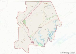
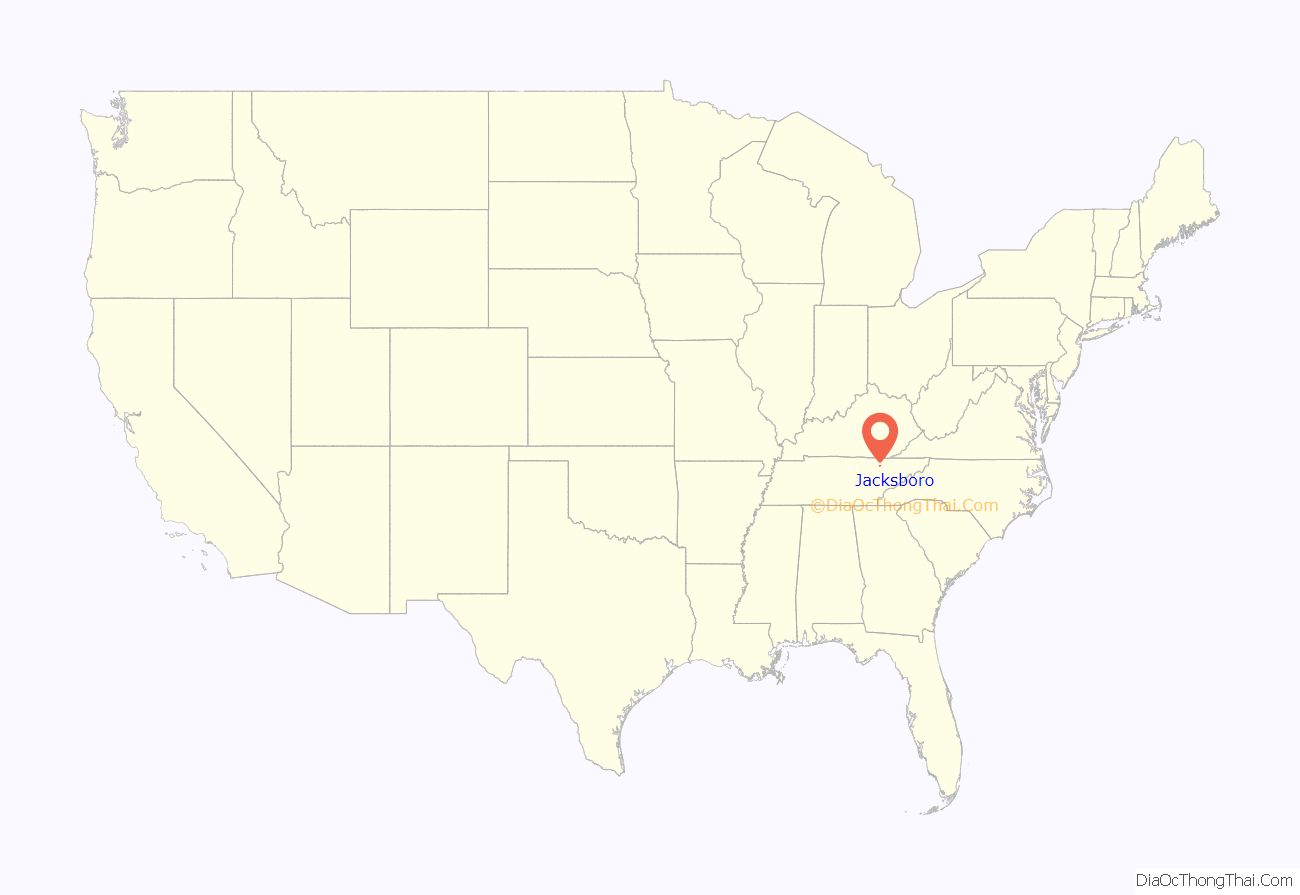
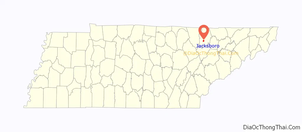
Jacksboro location map. Where is Jacksboro town?
History
Jacksboro was founded in 1806 as a permanent county seat for the newly created Campbell County. The initial property for the town square was deeded by Hugh Montgomery, one of the earliest settlers in the area. The town was originally known as Walnut Grove, but was renamed “Jacksonboro” in honor of Andrew Jackson in 1819. The name was later shortened to “Jacksboro.”
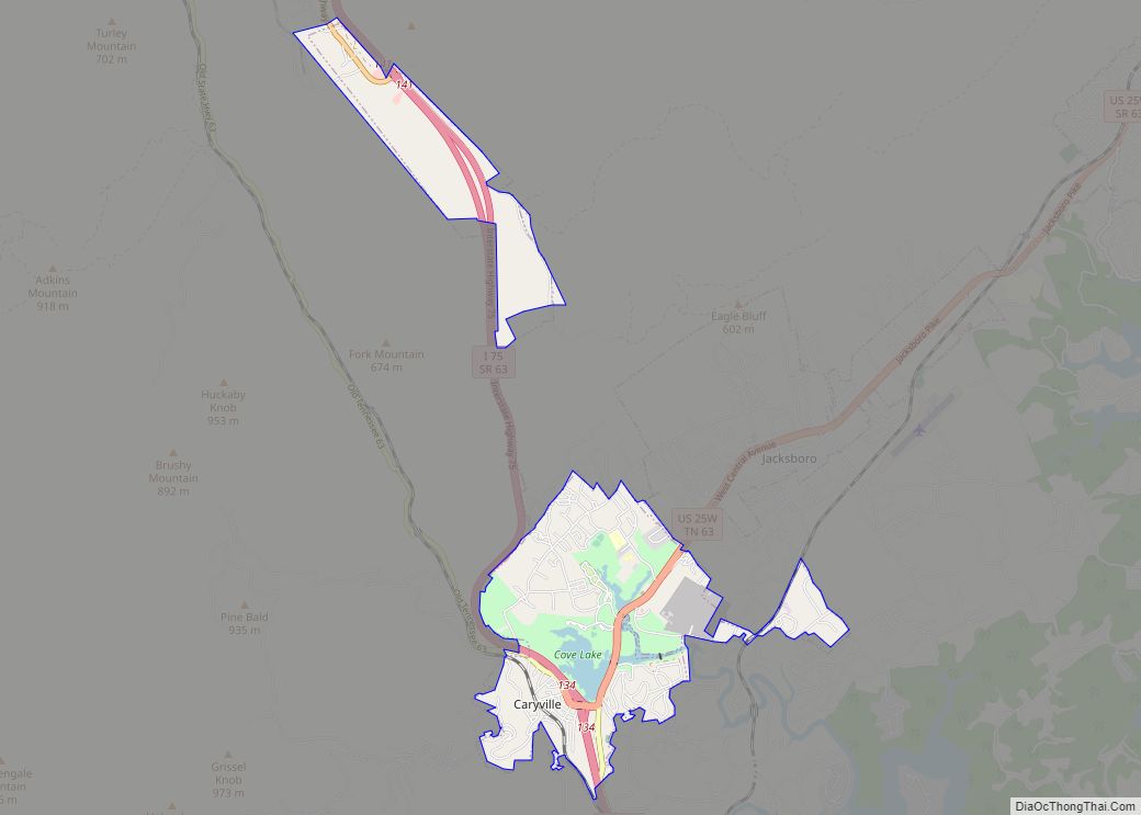
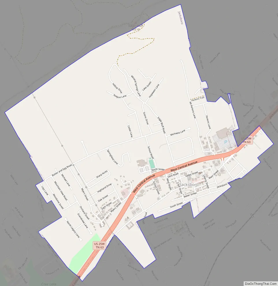
Jacksboro Road Map
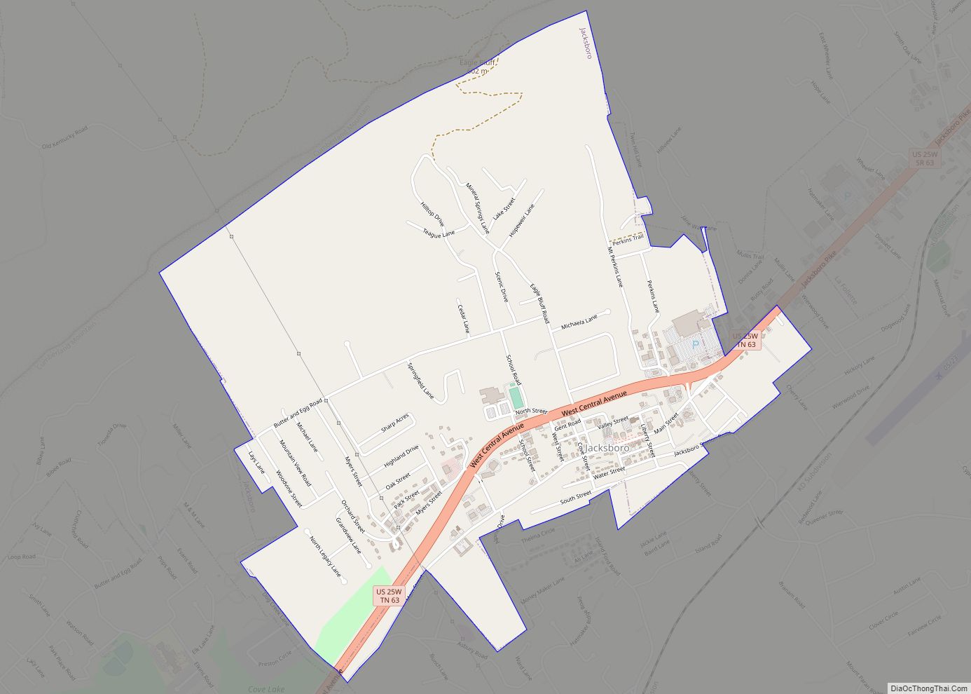
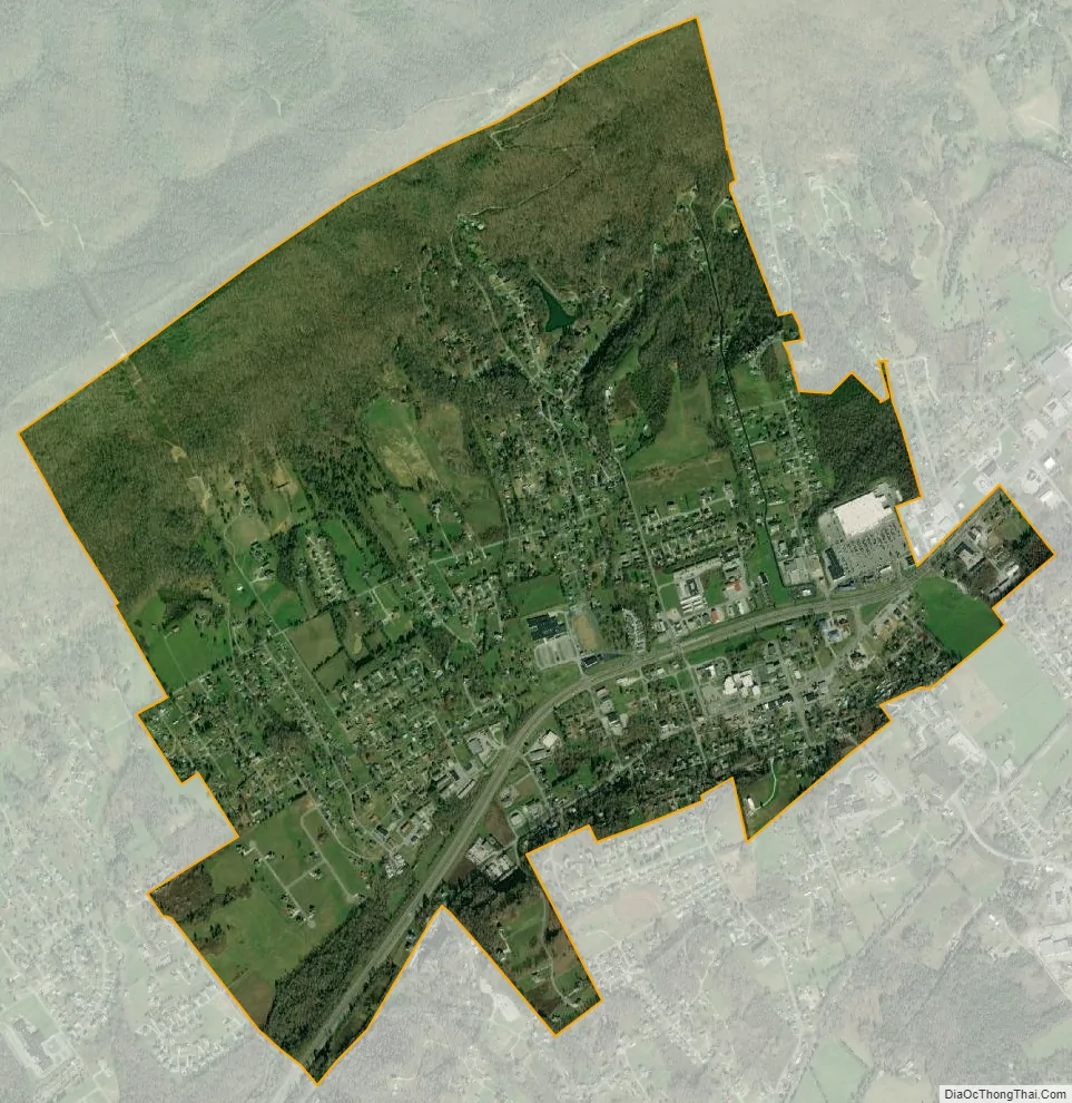
Jacksboro city Satellite Map
Geography
Jacksboro is located at 36°19′53″N 84°11′20″W / 36.331511°N 84.188793°W / 36.331511; -84.188793. The town situated near the “corner” of an L-shaped section of Powell Valley created by the intersection of Cumberland Mountain, a long ridge which runs in a northeast-southwest direction, and Cross Mountain, a 3,534-foot (1,077 m) summit which rises prominently to the west. Big Creek and Cove Creek — which traverse the eastern and western sections of Jacksboro respectively — are both part of the Norris Lake system of the Clinch River watershed.
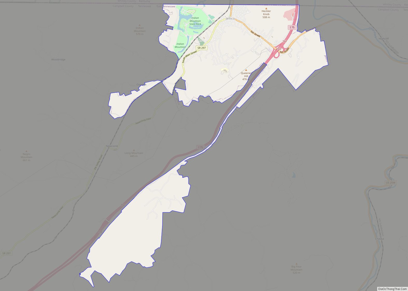
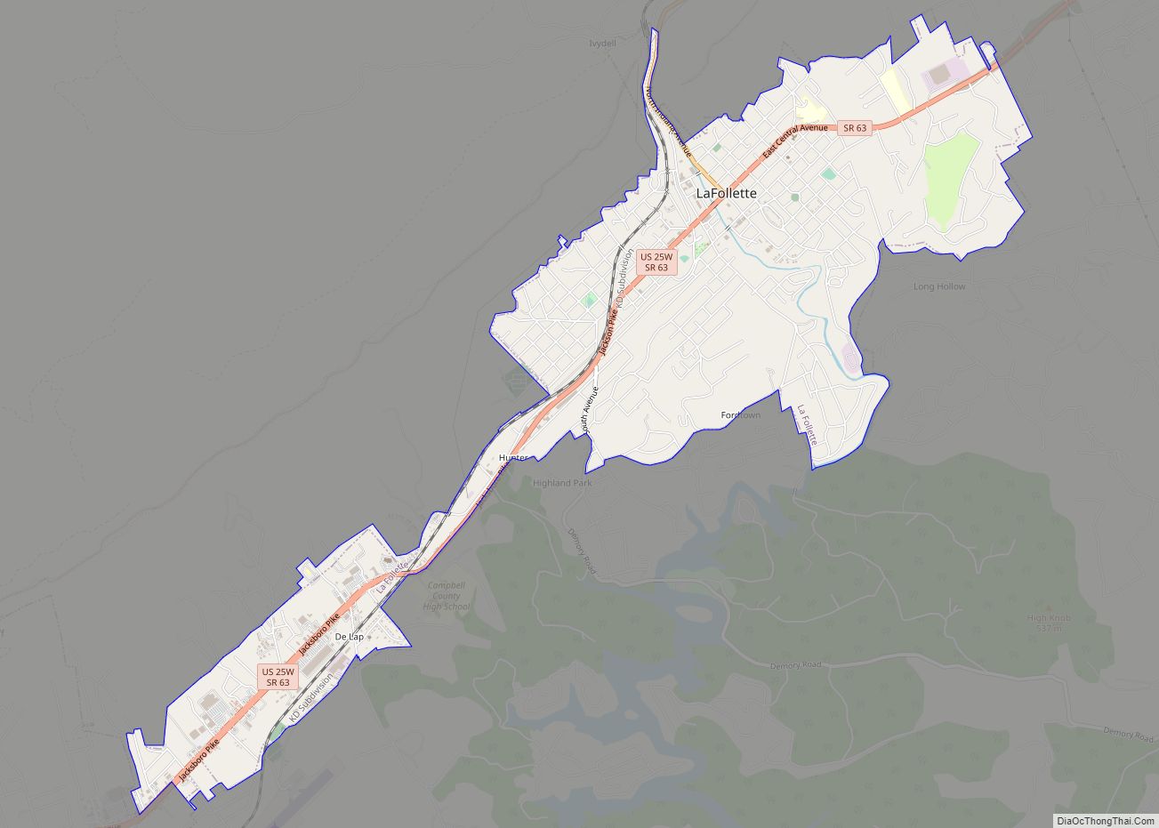
Jacksboro is concentrated along U.S. Route 25W, approximately 2 miles (3.2 km) northeast of Interstate 75 and a mile northeast of Cove Lake State Park. Caryville lies to the southwest, and LaFollette lies to the northeast.
According to the United States Census Bureau, the town has a total area of 2.6 square miles (6.7 km), all land.
See also
Map of Tennessee State and its subdivision:- Anderson
- Bedford
- Benton
- Bledsoe
- Blount
- Bradley
- Campbell
- Cannon
- Carroll
- Carter
- Cheatham
- Chester
- Claiborne
- Clay
- Cocke
- Coffee
- Crockett
- Cumberland
- Davidson
- Decatur
- DeKalb
- Dickson
- Dyer
- Fayette
- Fentress
- Franklin
- Gibson
- Giles
- Grainger
- Greene
- Grundy
- Hamblen
- Hamilton
- Hancock
- Hardeman
- Hardin
- Hawkins
- Haywood
- Henderson
- Henry
- Hickman
- Houston
- Humphreys
- Jackson
- Jefferson
- Johnson
- Knox
- Lake
- Lauderdale
- Lawrence
- Lewis
- Lincoln
- Loudon
- Macon
- Madison
- Marion
- Marshall
- Maury
- McMinn
- McNairy
- Meigs
- Monroe
- Montgomery
- Moore
- Morgan
- Obion
- Overton
- Perry
- Pickett
- Polk
- Putnam
- Rhea
- Roane
- Robertson
- Rutherford
- Scott
- Sequatchie
- Sevier
- Shelby
- Smith
- Stewart
- Sullivan
- Sumner
- Tipton
- Trousdale
- Unicoi
- Union
- Van Buren
- Warren
- Washington
- Wayne
- Weakley
- White
- Williamson
- Wilson
- Alabama
- Alaska
- Arizona
- Arkansas
- California
- Colorado
- Connecticut
- Delaware
- District of Columbia
- Florida
- Georgia
- Hawaii
- Idaho
- Illinois
- Indiana
- Iowa
- Kansas
- Kentucky
- Louisiana
- Maine
- Maryland
- Massachusetts
- Michigan
- Minnesota
- Mississippi
- Missouri
- Montana
- Nebraska
- Nevada
- New Hampshire
- New Jersey
- New Mexico
- New York
- North Carolina
- North Dakota
- Ohio
- Oklahoma
- Oregon
- Pennsylvania
- Rhode Island
- South Carolina
- South Dakota
- Tennessee
- Texas
- Utah
- Vermont
- Virginia
- Washington
- West Virginia
- Wisconsin
- Wyoming