Bath County is a county located in the U.S. state of Kentucky. As of the 2020 census, the population was 12,750. The county seat is Owingsville. The county was formed in 1811. Bath County is included in the Mount Sterling, KY Micropolitan Statistical Area, which is also included in the Lexington-Fayette-Richmond–Frankfort, KY Combined Statistical Area.
| Name: | Bath County |
|---|---|
| FIPS code: | 21-011 |
| State: | Kentucky |
| Founded: | 1811 |
| Named for: | Medicinal springs located within the county |
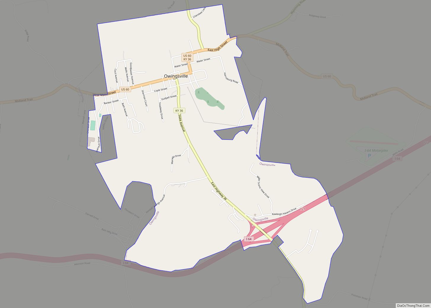
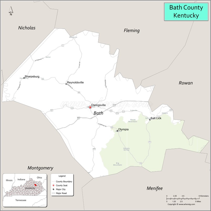
| Seat: | Owingsville |
| Largest city: | Owingsville |
| Total Area: | 284 sq mi (740 km²) |
| Land Area: | 279 sq mi (720 km²) |
| Total Population: | 12,750 |
| Population Density: | 45/sq mi (17/km²) |
| Time zone: | UTC−5 (Eastern) |
| Summer Time Zone (DST): | UTC−4 (EDT) |
| Website: | bathcounty.ky.gov |
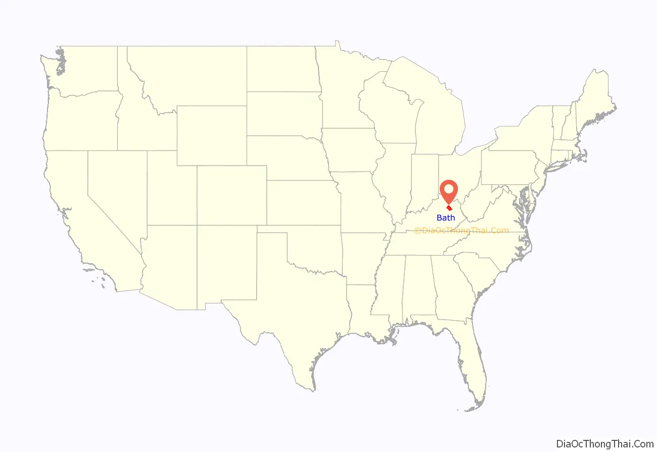
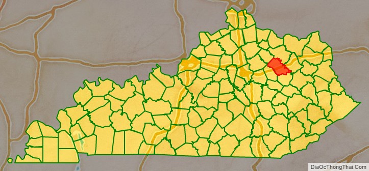
Bath County location map. Where is Bath County?
History
Bath County was established in 1811 from land given by Montgomery County, Kentucky. Its name is derived from natural springs said to have medicinal qualities. The courthouse in Owingsville was destroyed by an accidental fire caused by Union troops during the American Civil War in 1864.
In 1932, an archaeological field survey observed fourteen archaeological sites in Bath County, including the Ramey Mound near Sharpsburg and multiple ancient burials near the Springfield Presbyterian Church.
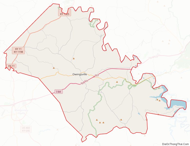
Bath County Road Map
Geography
According to the U.S. Census Bureau, the county has a total area of 284 square miles (740 km), of which 279 square miles (720 km) is land and 5.2 square miles (13 km) (1.8%) is water.
Adjacent counties
- Fleming County (north)
- Rowan County (east)
- Menifee County (southeast)
- Montgomery County (southwest)
- Bourbon County (west)
- Nicholas County (northwest)
National protected area
- Daniel Boone National Forest (part)
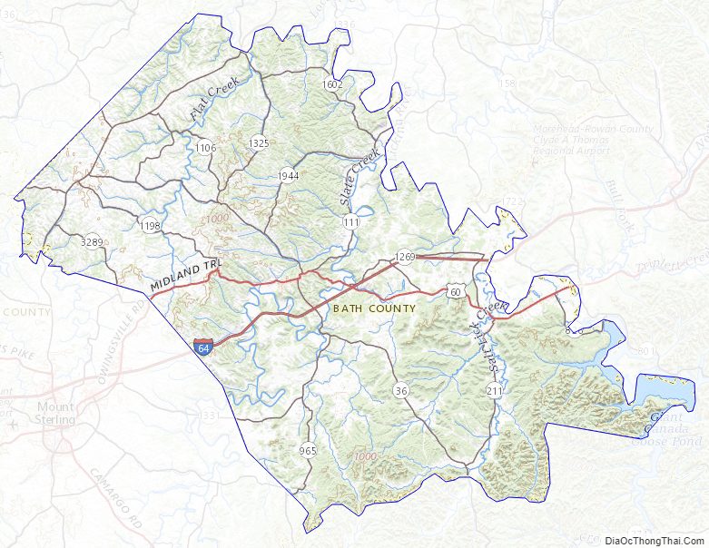
Bath County Topographic Map
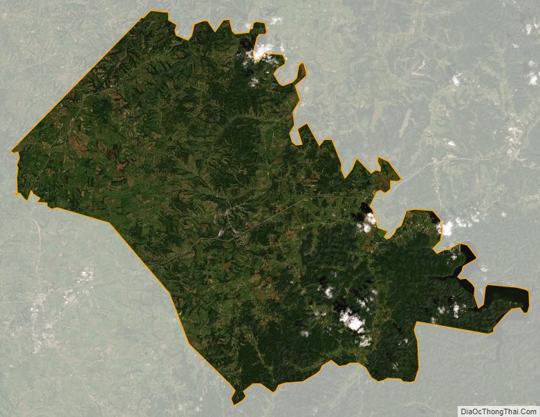
Bath County Satellite Map
Bath County Outline Map