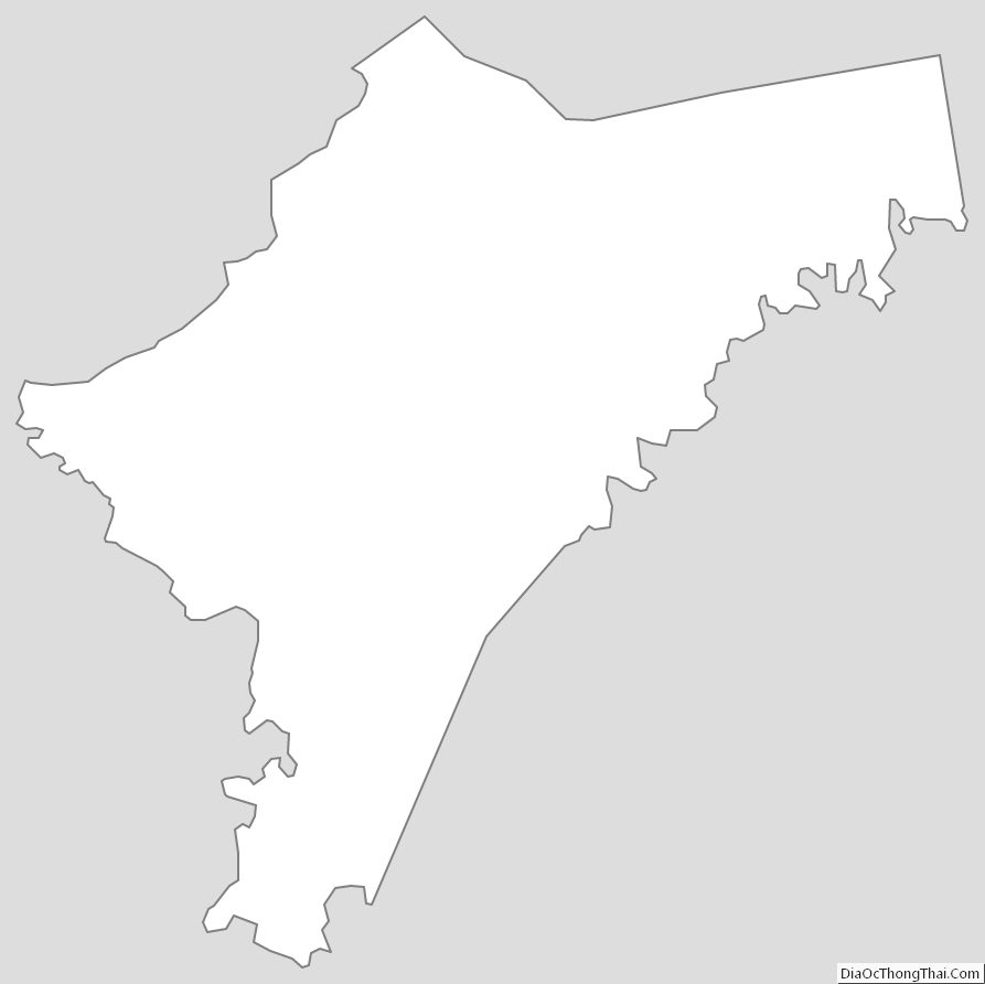
Nelson County is a county located in the U.S. state of Kentucky. As of the 2020 census, the population was 48,065. Its county seat is Bardstown. Nelson County comprises the Bardstown, KY Micropolitan Statistical Area, which is also included in the Louisville/Jefferson County–Elizabethtown–Madison, KY-IN Combined Statistical Area.
| Name: | Nelson County |
|---|---|
| FIPS code: | 21-179 |
| State: | Kentucky |
| Founded: | November 29, 1784 |
| Named for: | Thomas Nelson Jr. |
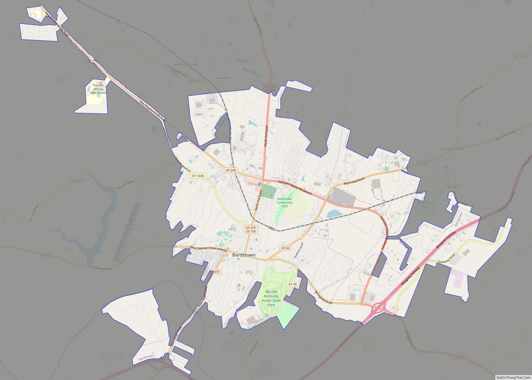
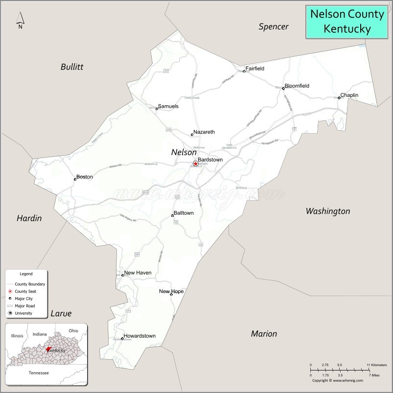
| Seat: | Bardstown |
| Largest city: | Bardstown |
| Total Area: | 424 sq mi (1,100 km²) |
| Land Area: | 418 sq mi (1,080 km²) |
| Total Population: | 46,738 |
| Population Density: | 110/sq mi (43/km²) |
| Time zone: | UTC−5 (Eastern) |
| Summer Time Zone (DST): | UTC−4 (EDT) |
| Website: | www.nelsoncountyky.com |
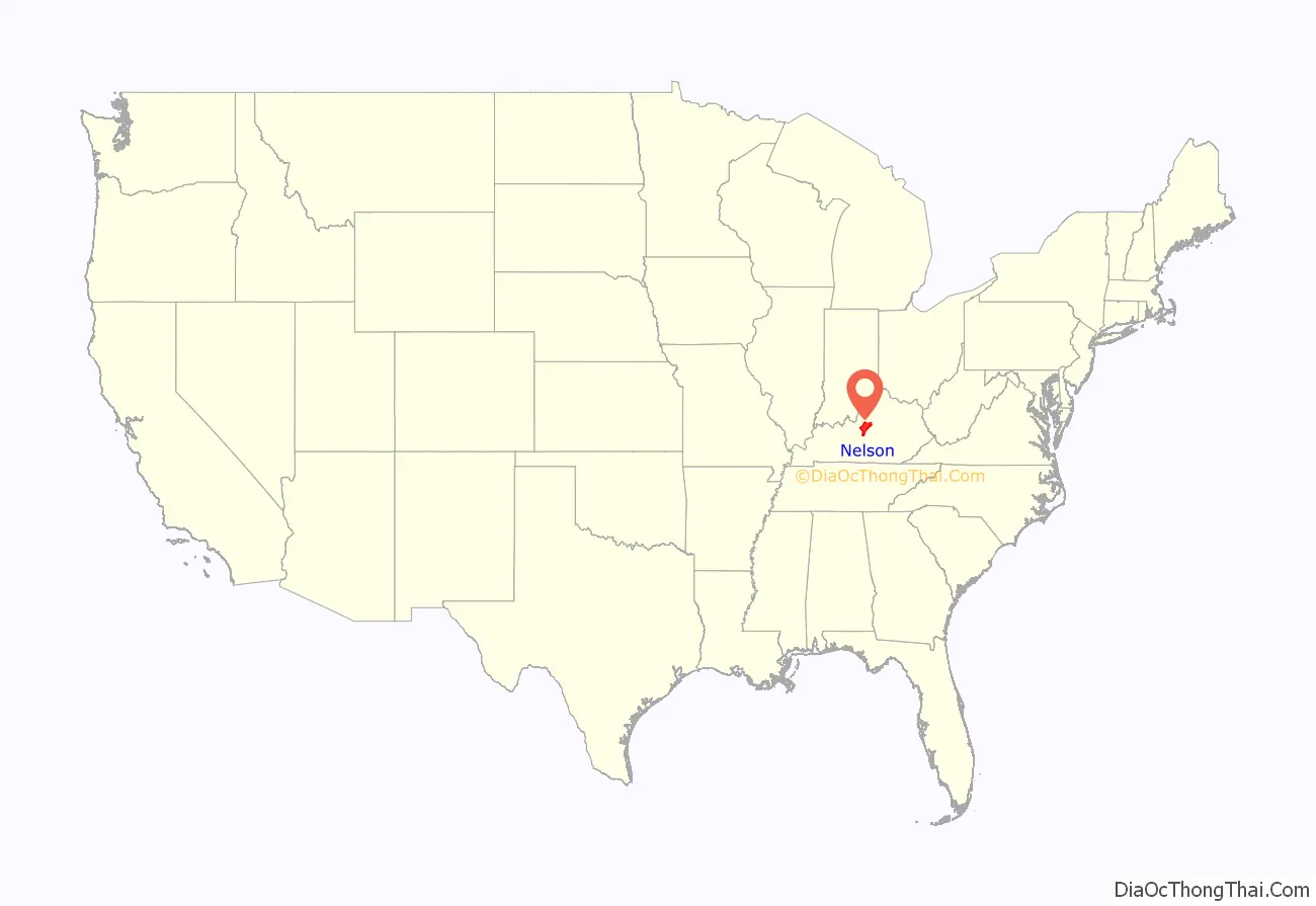
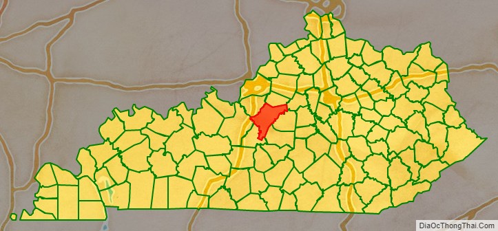
Nelson County location map. Where is Nelson County?
History
The fourth county created in what is now Kentucky, it was formed from Jefferson County, Kentucky in 1784, shortly after the Revolutionary War. The county was named for Thomas Nelson Jr., the Virginia Governor who signed the Declaration of Independence. In 1807, after Kentucky had become a state, a newly created Virginia county was named in his honor.
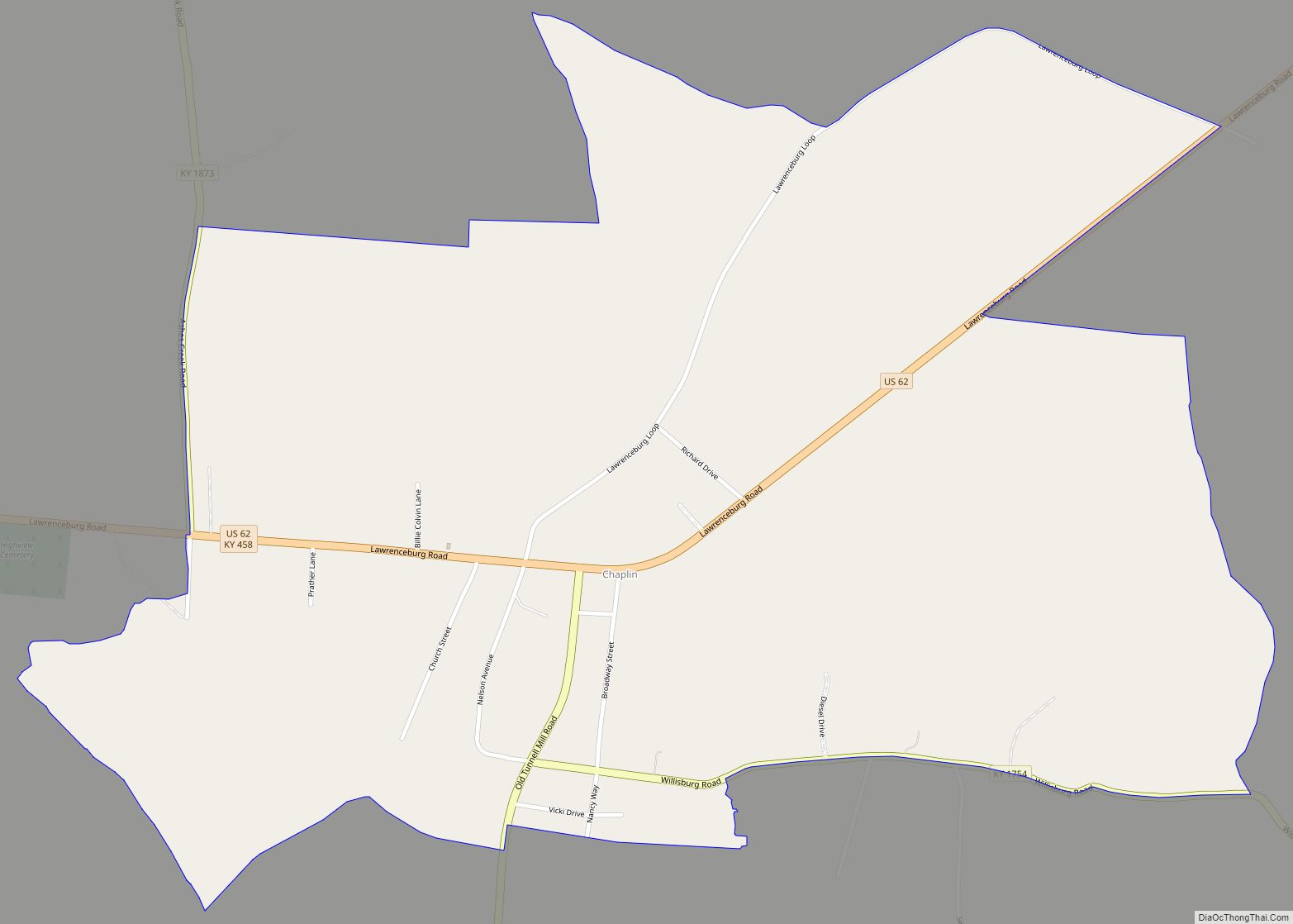
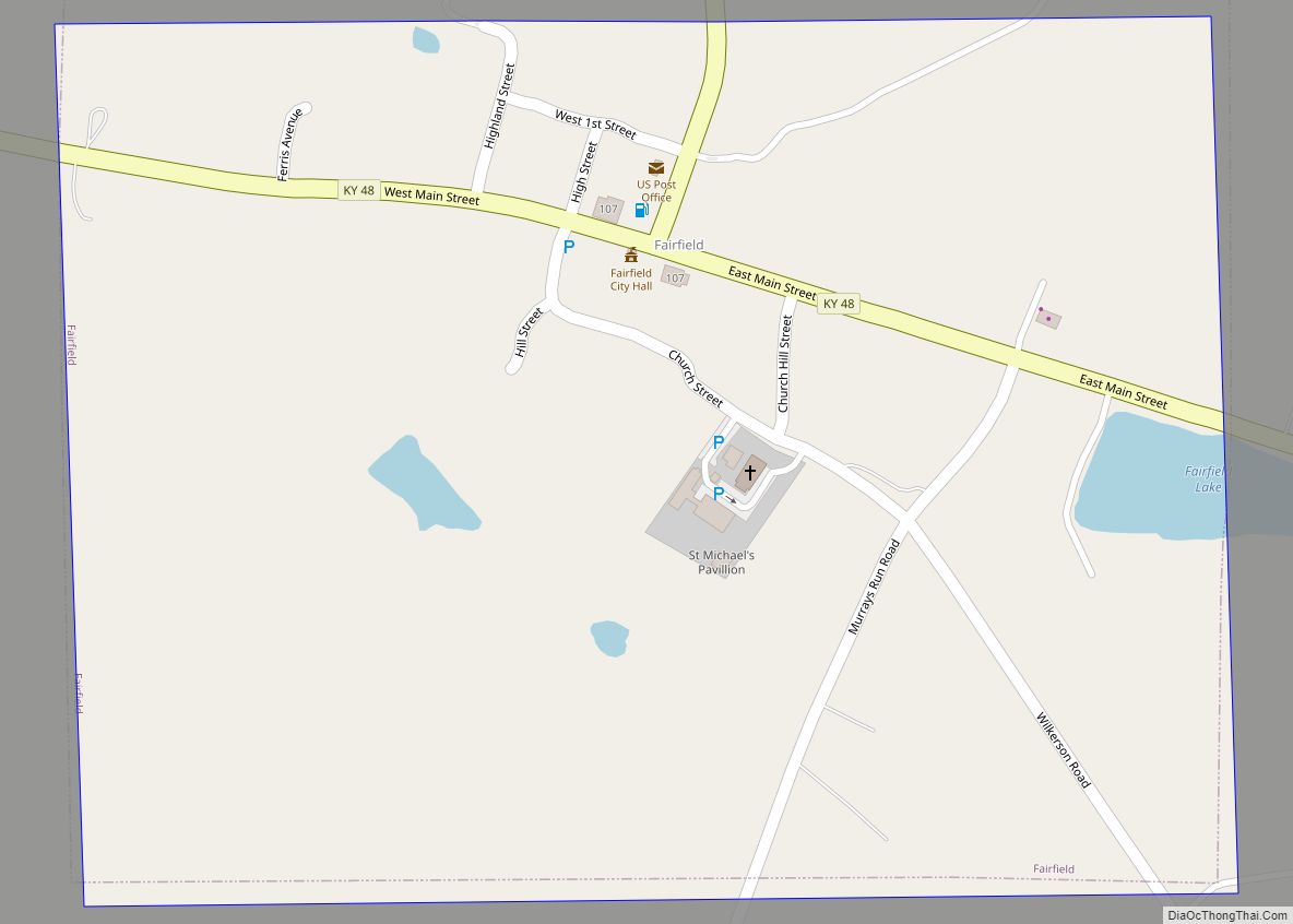
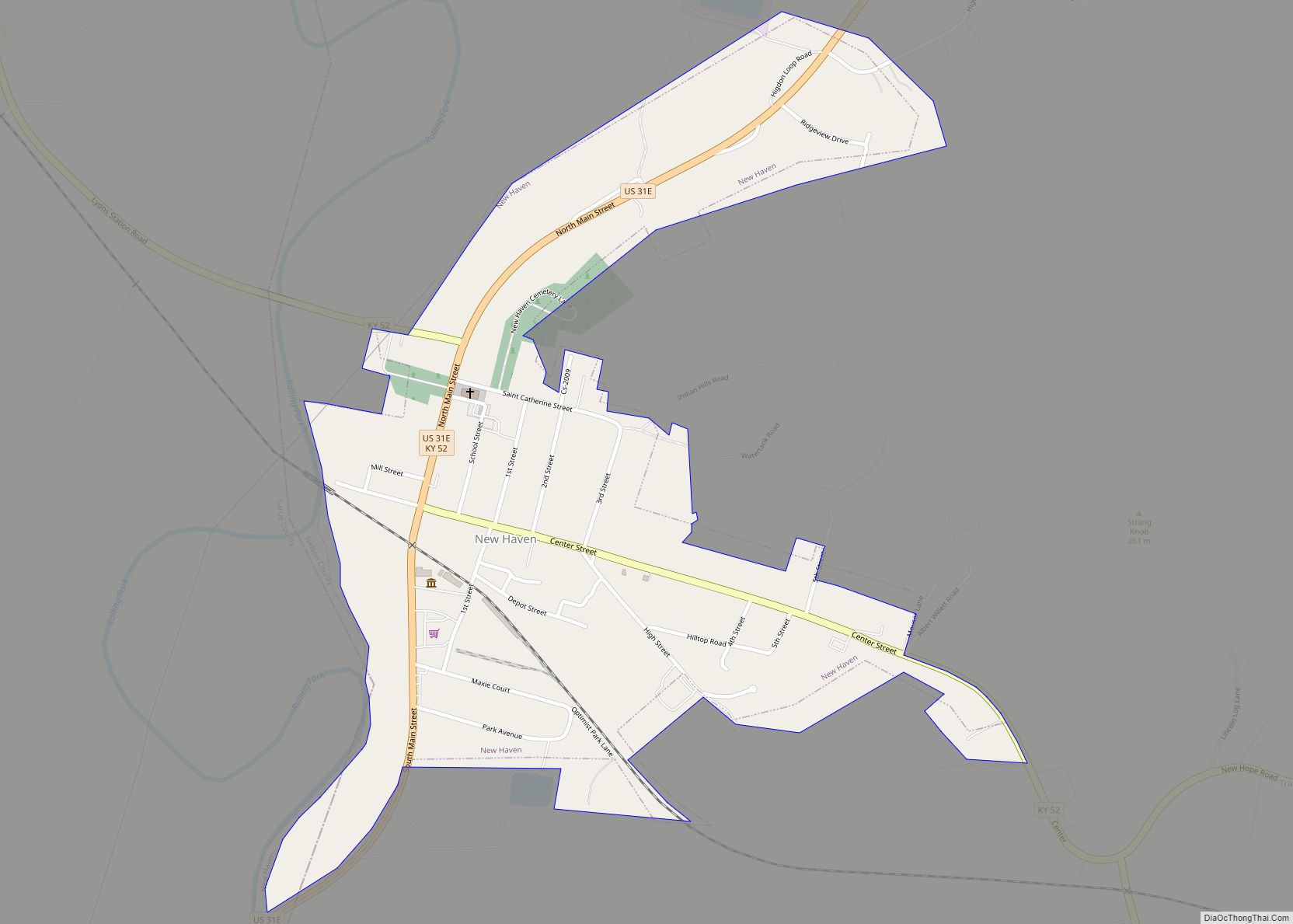
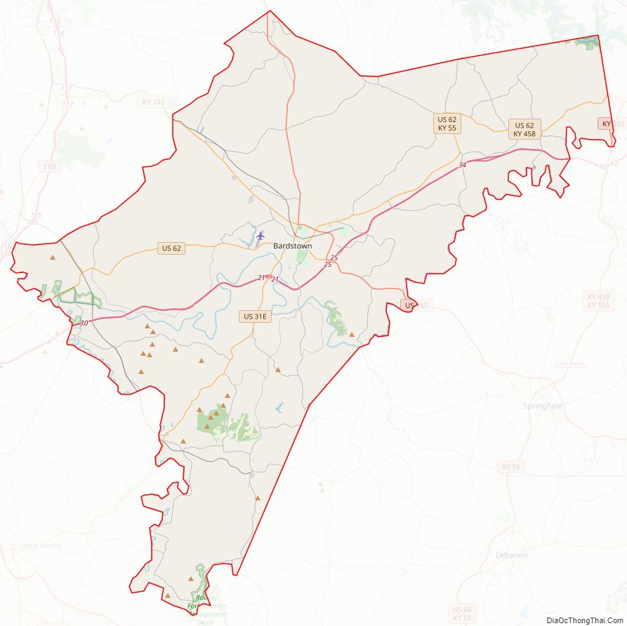
Nelson County Road Map
Geography
According to the United States Census Bureau, the county has a total area of 424 square miles (1,100 km), of which 418 square miles (1,080 km) are land and 6.6 square miles (17 km) (1.5%) are covered by water.
Adjacent counties
- Spencer County (north)
- Anderson County (northeast)
- Washington County (east)
- Marion County (southeast)
- LaRue County (south)
- Hardin County (west)
- Bullitt County (northwest)
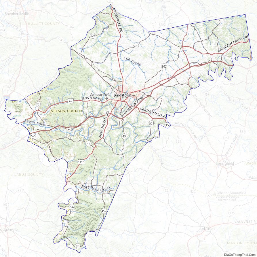
Nelson County Topographic Map
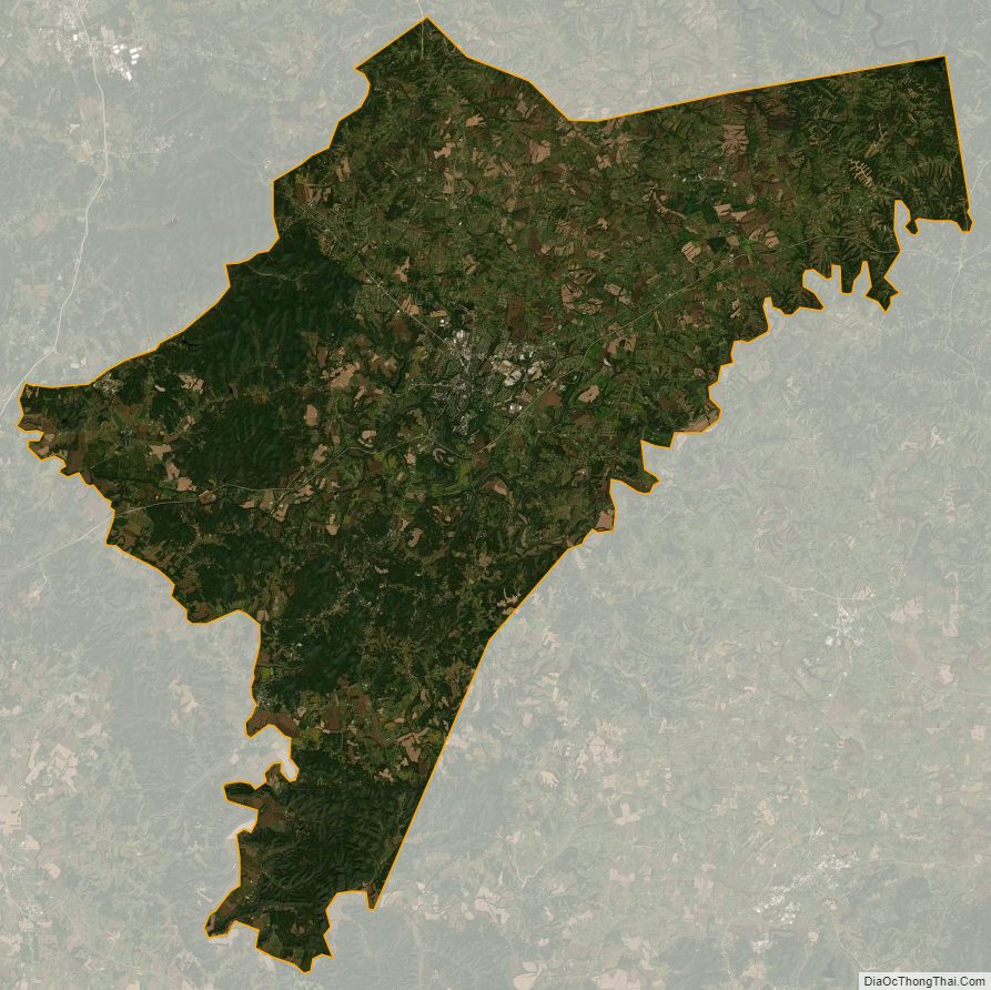
Nelson County Satellite Map
Nelson County Outline Map