Green County is a county located in the U.S. state of Kentucky. Its county seat and only municipality is Greensburg. Green was a prohibition or dry county until 2015.
| Name: | Green County |
|---|---|
| FIPS code: | 21-087 |
| State: | Kentucky |
| Founded: | December 20, 1792 |
| Named for: | Nathanael Greene |
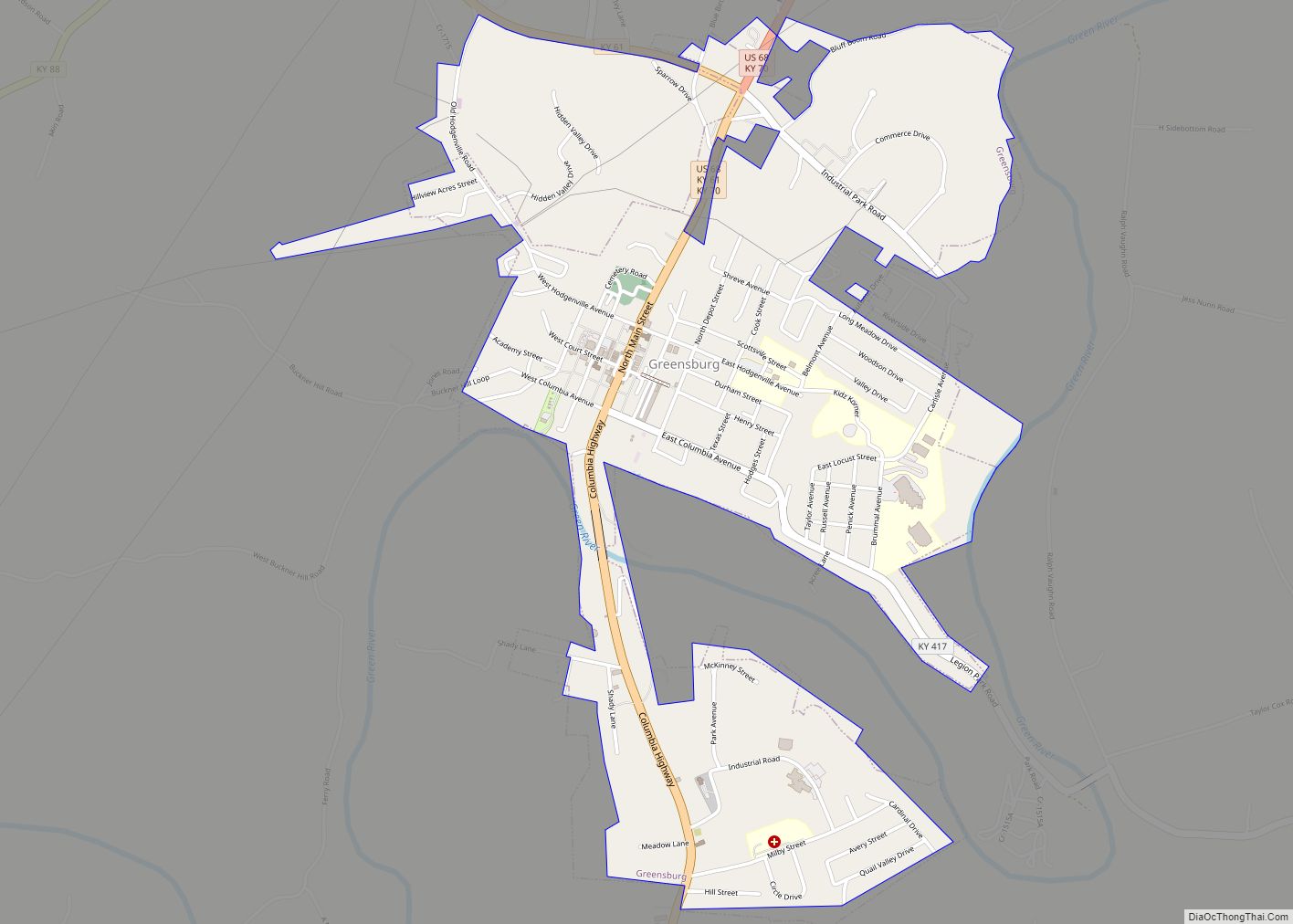
| Seat: | Greensburg |
| Largest city: | Greensburg |
| Total Area: | 289 sq mi (750 km²) |
| Land Area: | 286 sq mi (740 km²) |
| Total Population: | 11,107 |
| Population Density: | 38/sq mi (15/km²) |
| Time zone: | UTC−6 (Central) |
| Summer Time Zone (DST): | UTC−5 (CDT) |
| Website: | www.greencounty.ky.gov |
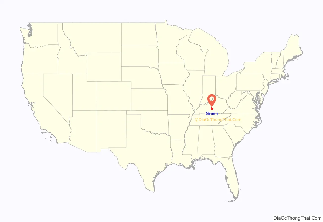
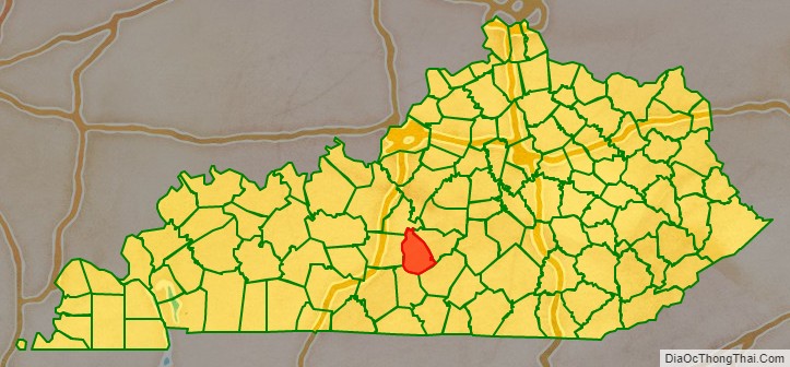
Green County location map. Where is Green County?
History
Green County was formed in 1792 from portions of Lincoln and Nelson Counties. Green was the 16th Kentucky county in order of formation. The county is named for Revolutionary War hero General Nathanael Greene, but the reason why the final E is missing is unknown.
Three courthouses have served Green County. In 1804, a brick building replaced an earlier log structure, and while no longer operational, it stands in the Downtown Greensburg Historic District as the oldest courthouse building in the commonwealth. The present courthouse dates from 1931.
The Cumberland Trace runs through Green County. This early road started in Lincoln County, Kentucky, and went to Nashville. (1)
Three counties (Cumberland, Adair, Taylor) were formed entirely from Green County, along with a portion of four more (Pulaski, Barren, Hart, and Metcalfe). (1)
Green River flows east to west through Green County. The Paddle Trail provides canoe rentals. In the early history of the county, flatboats would take tobacco from Green County, to New Orleans. There, farmers would sell their tobacco, sell their boat (for wood), and walk back to Green County. (1)
Green County was without a sheriff from 1879 until 1918, due to a dispute over railroad taxes. Individuals were elected sheriff, but were unable to post enough bond to cover not collecting railroad property taxes, and the office was declared vacant. From 1896 until 1915, a total of 34 murders were committed in the county. (1)
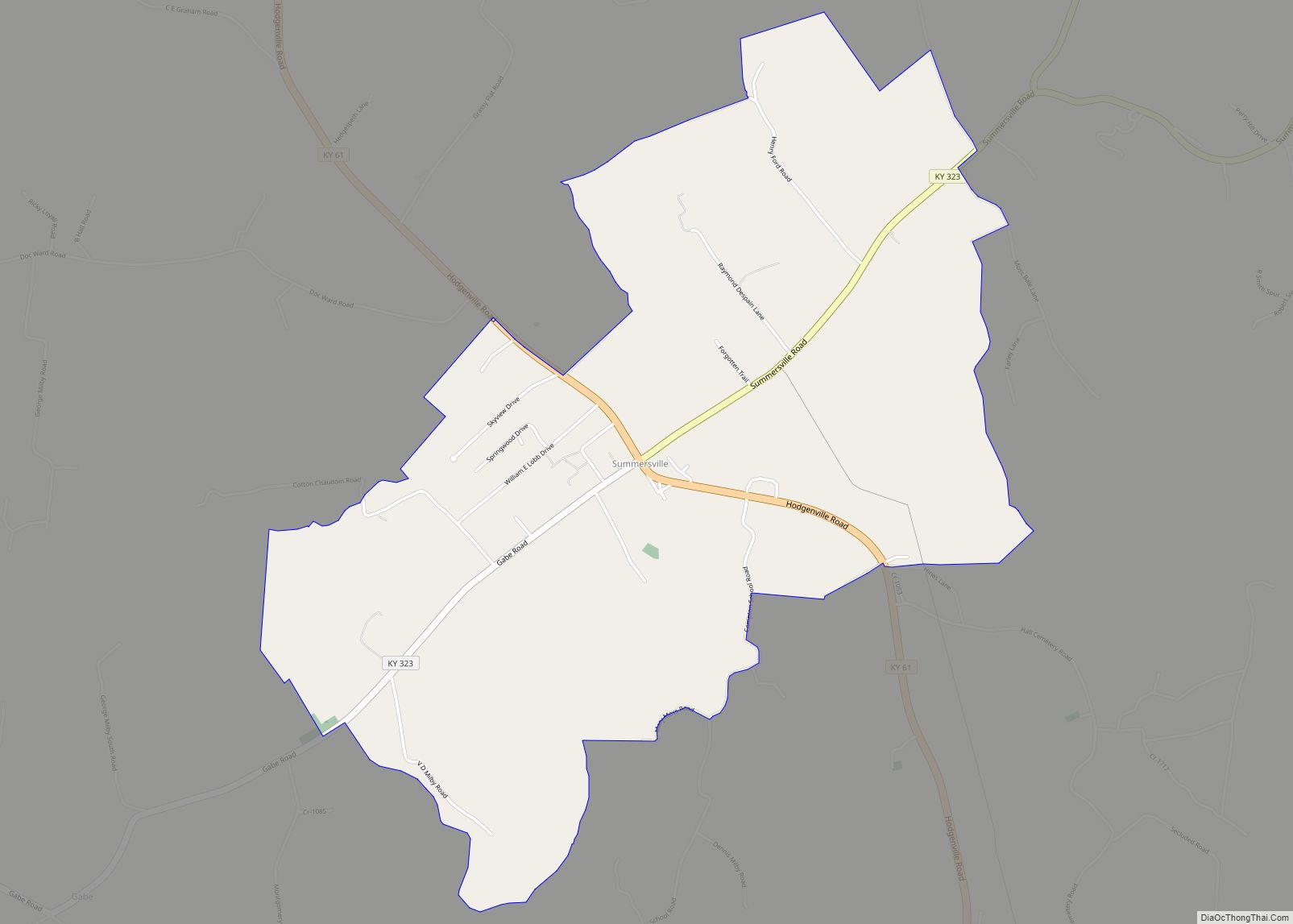
An oil boom from 1958 until the early 1960s gave the county an economic lift. Temporary air strips were built in the communities of Summersville, and Pierce. (1)
An adobe brick house was uncovered in Greensburg during 2007. The structure is thought to be the only “mud brick house” in Kentucky. (1)
The Goose Creek Footbridge connects the town square to what was once the train depot. Built in the late 1920s, the structure is 445 feet long, 40 feet high at its highest point, and has a plank walkway which is five feet wide. (1)
The community of Summersville is home to weekend music at Green River Live, and to the Skyline Drive-In Theater. (1)
A public hanging in Greensburg on September 21, 1841, attracted a crowd recorded at 10,000 people. Two other men who were convicted of the same crime – robbery and murder – died in their jail cell. (1)
The country’s first known serial killers, Big Harpe and Little Harpe, murdered a twelve-year-old Green County boy in 1799. (1)
(1) “History of Green County, Kentucky,” by Lanny Tucker.
The Cow Days Festival is held in Greensburg the 3rd weekend of September. The event originated during the late 1930s, when Greensburg merchants would give away a cow to entice people to come to town.
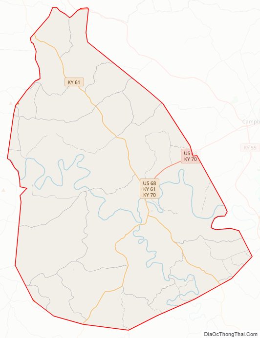
Green County Road Map

Geography
According to the U.S. Census Bureau, the county has a total area of 289 square miles (750 km), of which 286 square miles (740 km) is land and 2.8 square miles (7.3 km) (1.0%) is water.
Green County is in the central time zone.
Adjacent counties
- LaRue County (north/EST Border)
- Taylor County (northeast/EST Border)
- Adair County (southeast)
- Metcalfe County (southwest)
- Hart County (west)
Green County Topographic Map

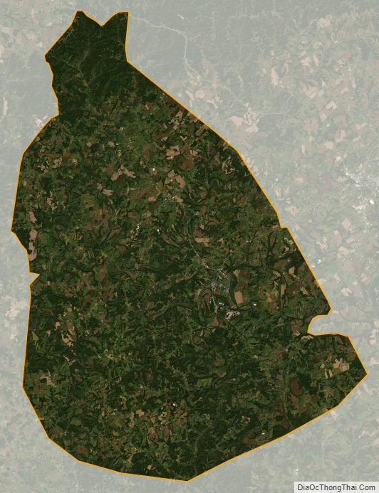
Green County Satellite Map
Green County Outline Map