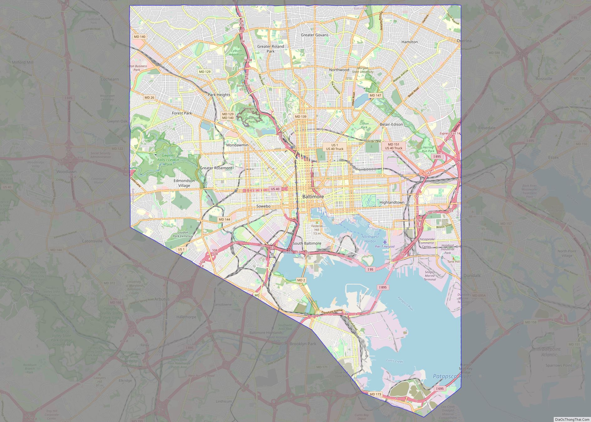
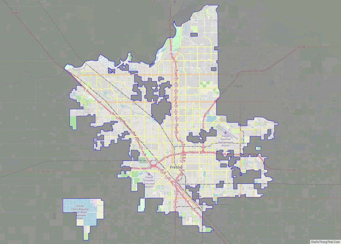
Map of Baltimore city

Map of Baltimore city, Maryland

Baltimore city overview: Name: Baltimore city LSAD Code: 25 LSAD Description: city (suffix) State: Maryland County: Baltimore city FIPS code: 2404000 When it comes to getting around Baltimore, public transportation is the way to go. The city is served by the Maryland Transit Administration (MTA), which operates light rail, subway, and bus systems. If you’re … Read more

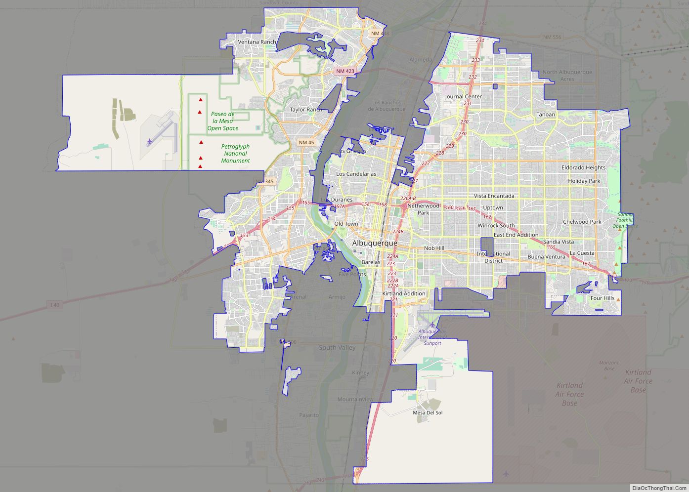
Map of Albuquerque city

Map of Albuquerque city

Albuquerque (/ˈælbəˌkɜːrki/ (listen) AL-bə-kur-kee; Spanish: [alβuˈkeɾke]), abbreviated ABQ, is the most populous city in the U.S. state of New Mexico. Its nicknames, The Duke City and Burque, both reference its founding in 1706 as La Villa de Alburquerque by Nuevo México governor Francisco Cuervo y Valdés. Named in honor of the Viceroy of New Spain, the … Read more

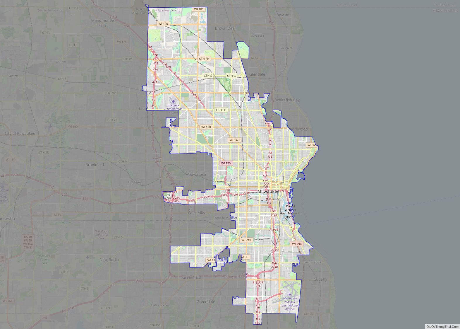
Map of Milwaukee city

Map of Milwaukee city

Milwaukee (/mɪlˈwɔːki/ mil-WAW-kee) is a city in the U.S. state of Wisconsin and the county seat of Milwaukee County. With a population of 577,222 at the 2020 census, Milwaukee is the 31st largest city in the United States, the fifth-largest city in the Midwest, and the largest city in the state of Wisconsin. It is … Read more

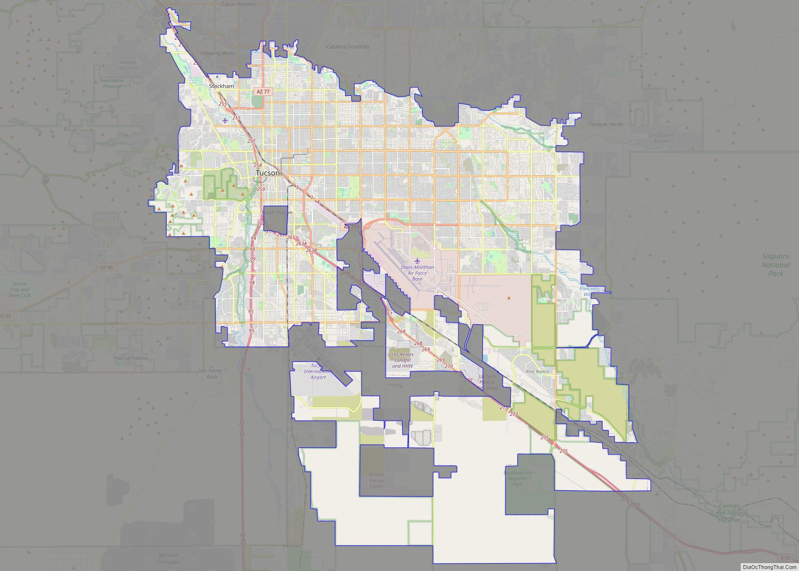
Map of Tucson city

Map of Tucson city

Tucson (/ˈtuːsɒn/; TOO-saun; Spanish: Tucson, O’odham: Cuk-Ṣon) is a city in and the county seat of Pima County, Arizona, United States, and is home to the University of Arizona. It is the second-largest city in Arizona behind Phoenix, with a population of 542,629 in the 2020 United States census, while the population of the entire … Read more

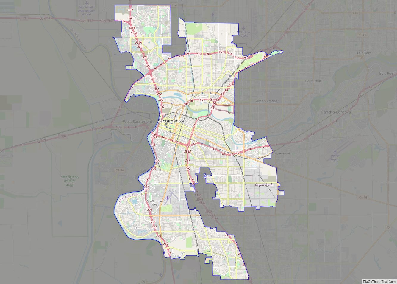
Map of Sacramento city

Map of Sacramento city, California

Sacramento (Spanish for ‘sacrament’) (/ˌsækrəˈmɛntoʊ/ SAK-rə-MEN-toh; Spanish: [sakɾaˈmento]) is the capital city of the U.S. state of California and the seat and largest city of Sacramento County. Located at the confluence of the Sacramento and American River in Northern California’s Sacramento Valley, Sacramento’s 2020 population of 524,943 makes it the fourth-largest city in Northern California, sixth-largest … Read more

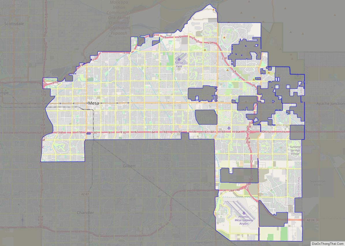
Map of Mesa city

Map of Mesa city, Arizona

Mesa (/ˈmeɪsə/ MAY-sə) is a city in Maricopa County, in the U.S. state of Arizona. It is the most populous city in the East Valley section of the Phoenix Metropolitan Area. It is bordered by Tempe on the west, the Salt River Pima-Maricopa Indian Community on the north, Chandler and Gilbert on the south along … Read more

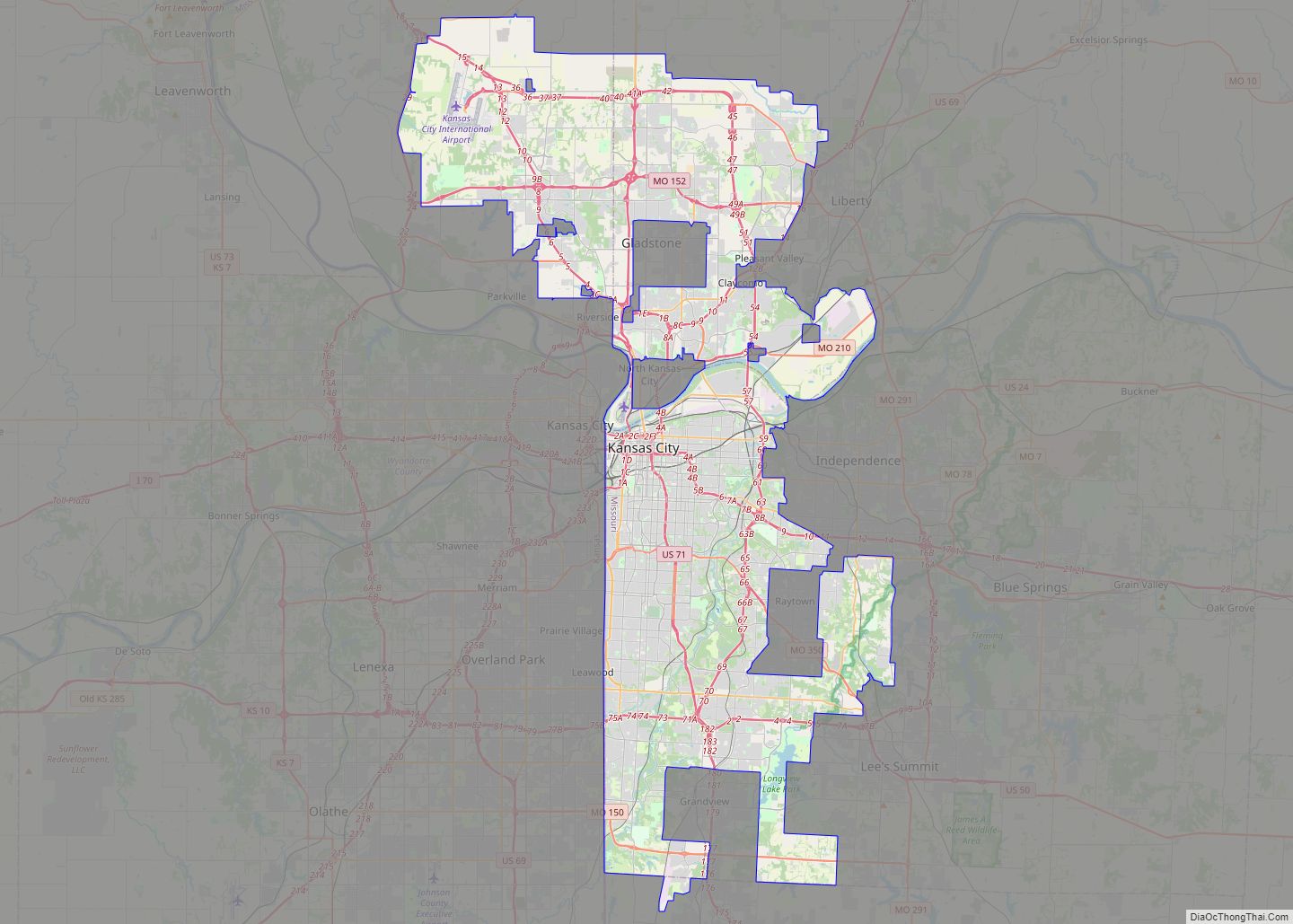
Map of Kansas City, Missouri

Map of Kansas City, Missouri

Kansas City, Missouri (KC or KCMO) is the largest city in Missouri by population and area. As of the 2020 census, the city had a population of 508,090 in 2020, making it the 36th most-populous city in the United States. It is the central city of the Kansas City metropolitan area, which straddles the Missouri–Kansas … Read more

Map of Atlanta city

Map of Atlanta city, Georgia

Atlanta (/ætˈlæntə/ at-LAN-tə) is the capital and most populous city of the U.S. state of Georgia. It is the seat of Fulton County, the most populous county in Georgia, although a portion of the city extends into neighboring DeKalb County. With a population of 498,715 living within the city limits, it is the eighth most … Read more

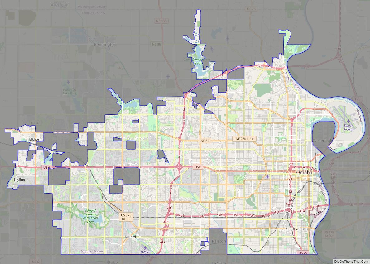
Map of Omaha city, Nebraska

Map of Omaha city, Nebraska

Omaha (/ˈoʊməhɑː/ OH-mə-hah) is the largest city in the U.S. state of Nebraska and the county seat of Douglas County. Omaha is in the Midwestern United States on the Missouri River, about 10 mi (15 km) north of the mouth of the Platte River. The nation’s 39th-largest city, Omaha’s 2020 census population was 486,051. Omaha is the … Read more

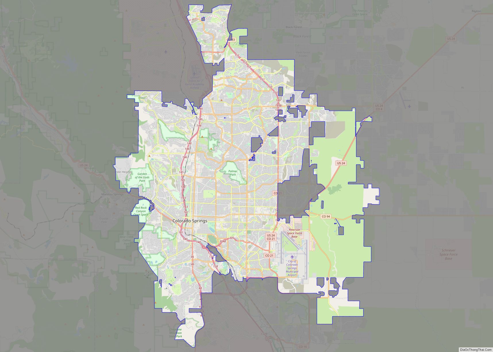
Map of Colorado Springs city

Map of Colorado Springs city

Colorado Springs, coloquially called The Springs, is a home rule municipality in and the county seat of El Paso County, Colorado, United States. It is the largest city in El Paso County, with a population of 478,961 at the 2020 United States Census, a 15.02% increase since 2010. Colorado Springs is the second-most populous city … Read more