Kansas City, Missouri (KC or KCMO) is the largest city in Missouri by population and area. As of the 2020 census, the city had a population of 508,090 in 2020, making it the 36th most-populous city in the United States. It is the central city of the Kansas City metropolitan area, which straddles the Missouri–Kansas state line and has a population of 2,392,035. Most of the city lies within Jackson County, with portions spilling into Clay, Cass, and Platte counties. Kansas City was founded in the 1830s as a port on the Missouri River at its confluence with the Kansas River from the west. On June 1, 1850, the town of Kansas was incorporated; shortly after came the establishment of the Kansas Territory. Confusion between the two ensued, and the name Kansas City was assigned to distinguish them soon after.
Sitting on Missouri’s western boundary with Kansas, with Downtown near the confluence of the Kansas and Missouri Rivers, the city encompasses about 319.03 square miles (826.3 km), making it the 23rd largest city by total area in the United States. It serves as one of the two county seats of Jackson County, along with the major satellite city of Independence. Other major suburbs include the Missouri cities of Blue Springs and Lee’s Summit and the Kansas cities of Overland Park, Olathe, Lenexa, and Kansas City, Kansas.
The city is composed of several neighborhoods, including the River Market District in the north, the 18th and Vine District in the east, and the Country Club Plaza in the south. Celebrated cultural traditions include Kansas City jazz; theater, as a center of the Vaudevillian Orpheum circuit in the 1920s; the Chiefs and Royals sports franchises; and famous cuisine based on Kansas City-style barbecue, Kansas City strip steak, and craft breweries.
| Name: | Kansas City city |
|---|---|
| LSAD Code: | 25 |
| LSAD Description: | city (suffix) |
| State: | Missouri |
| County: | Cass County, Clay County, Jackson County, Platte County |
| Incorporated: | Town of Kansas: June 1, 1850; 172 years ago (June 1, 1850) City of Kansas: March 28, 1853 |
| Elevation: | 910 ft (277 m) |
| Land Area: | 314.73 sq mi (815.14 km²) |
| Water Area: | 4.07 sq mi (10.55 km²) |
| Population Density: | 1,614.38/sq mi (623.31/km²) |
| FIPS code: | 2938000 |
| GNISfeature ID: | 748198 |
| Website: | kcmo.gov |
The strange thing about Kansas City is that it’s not located in the state of Kansas. It’s actually in its neighbor state of Missouri. But despite its odd location, it’s a pretty neat place to live. Whether you’re looking for a weekend trip with your friends or a family vacation, you’ll find plenty to do in Kansas City. From beautiful parks to quirky museums and historic sites, Kansas City also embraces diversity and is home to a diverse population. Before you go, make sure to print out our Kansas City map collection for a hassle-free exploration of the city.
Kansas City is the perfect city for a weekend getaway or a stop on your way to explore the American Midwest. With plenty of things to see and do, it’s a great place to visit for any kind of traveler. So if you’re looking for an exciting and diverse destination, then Kansas City is definitely the place to be!
Online Interactive Map
Click on ![]() to view map in "full screen" mode.
to view map in "full screen" mode.
Looking for the best hotels, bars, attractions, and restaurants? This interactive map is perfect for you to discover the best places to visit in the heart of Kansas City. For example, you can explore its surrounding area in more detail in this interactive map. It has all the major places of interest, restaurants, shops, parks, and attractions so you can navigate around better in the city. Whether you’re just passing through or staying for a while, this map will provide everything you need to know to explore the city in an easy and convenient way.
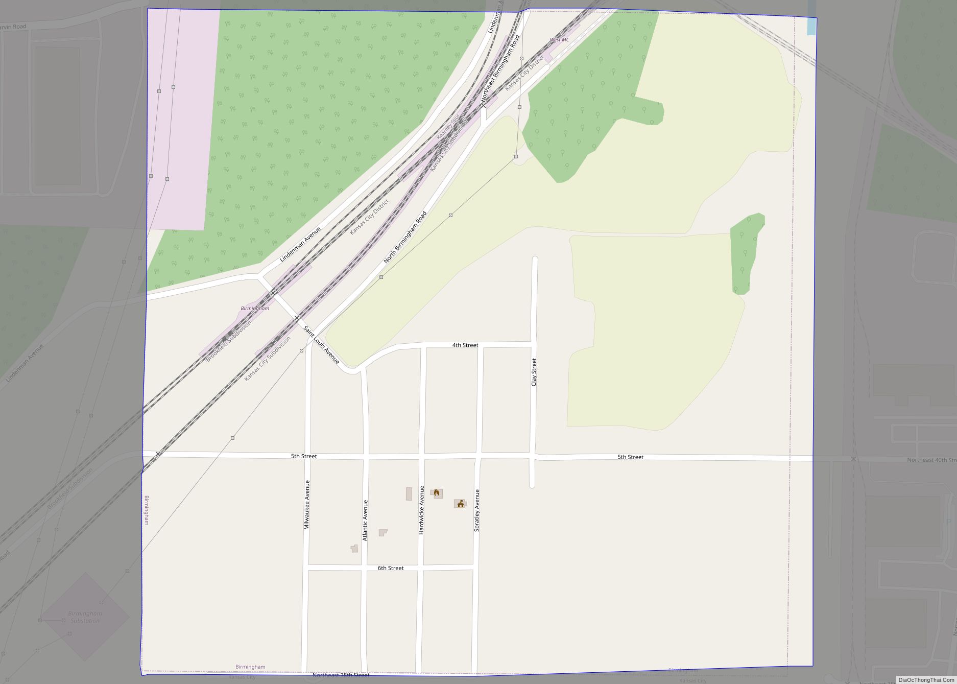
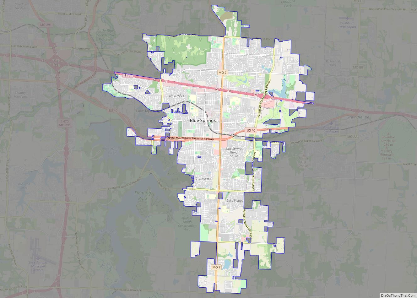
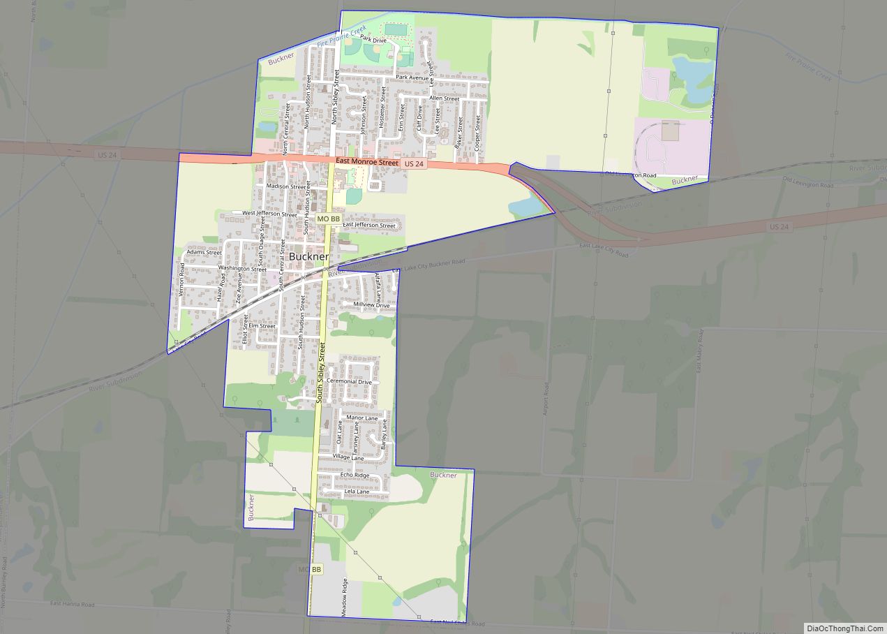
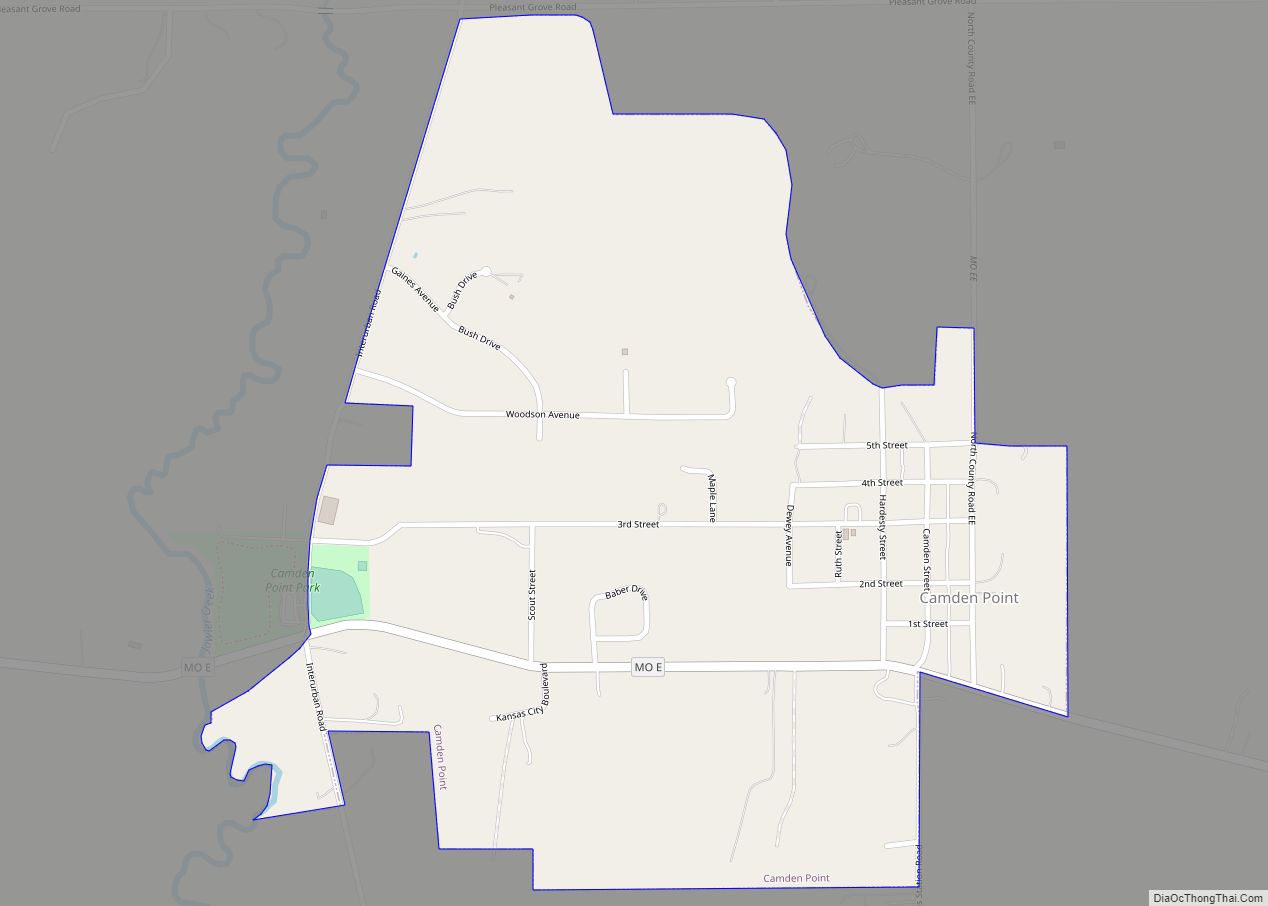
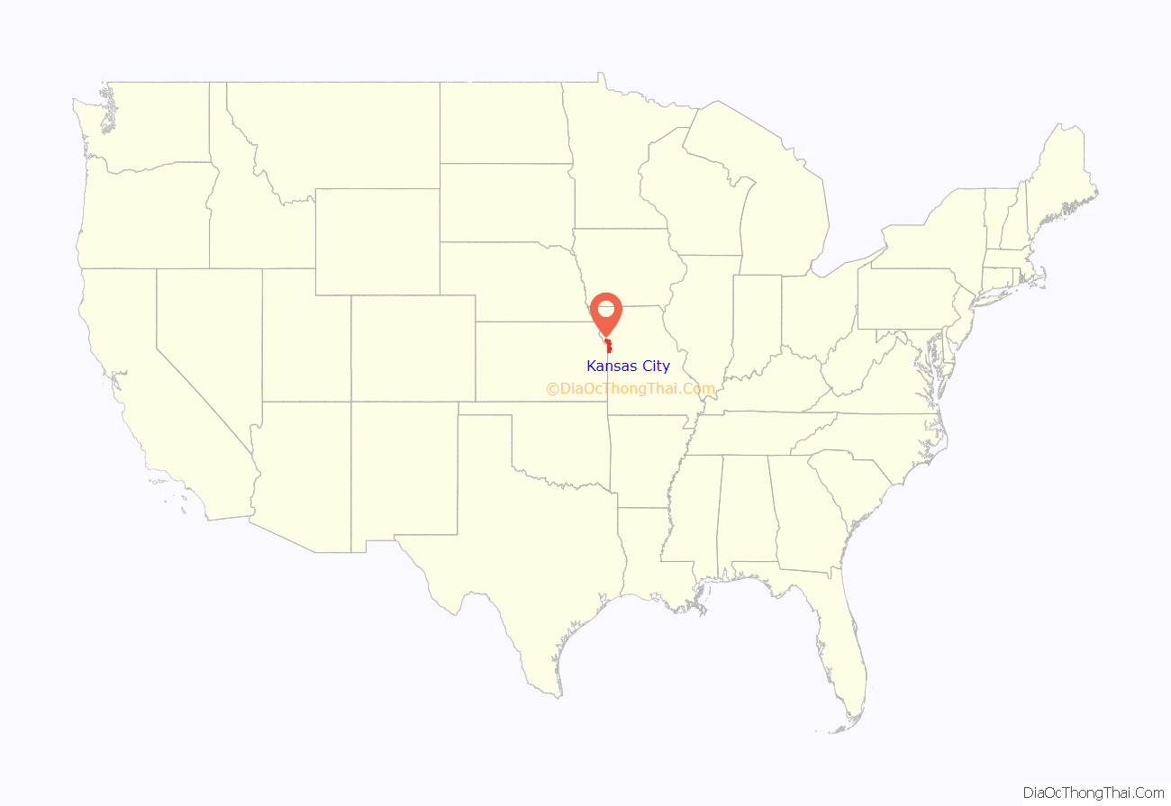
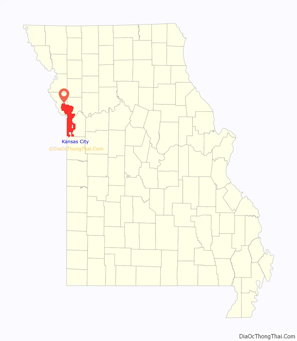
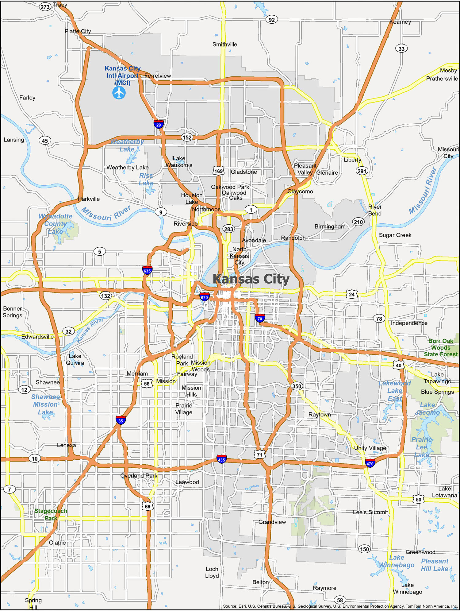
Kansas City location map. Where is Kansas City city?
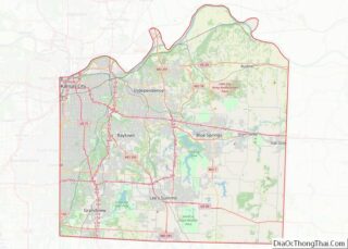
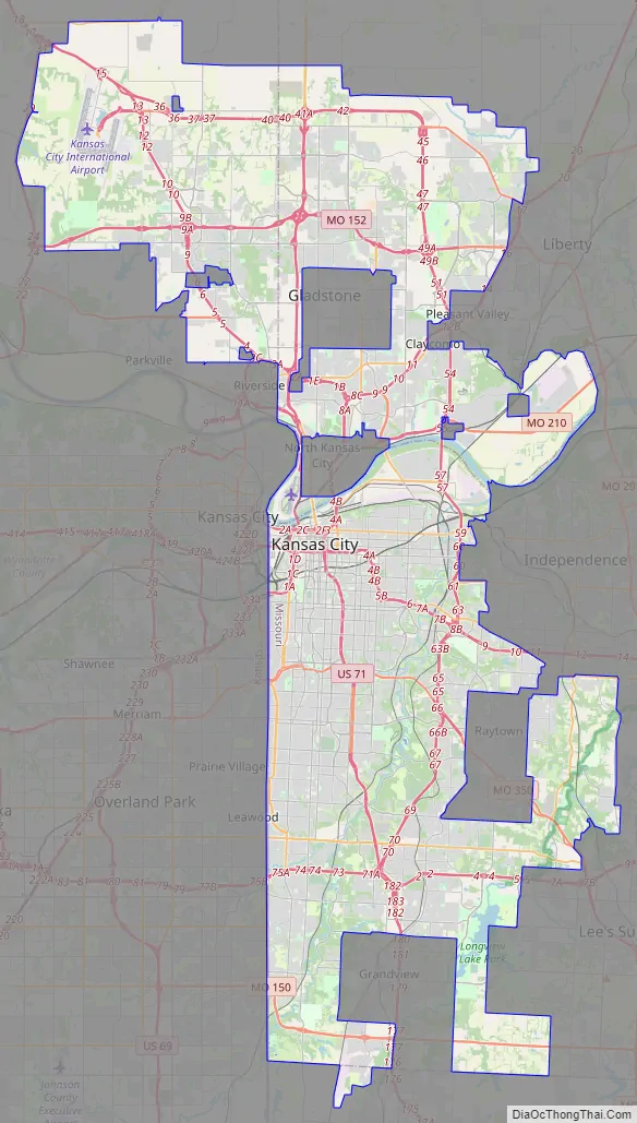
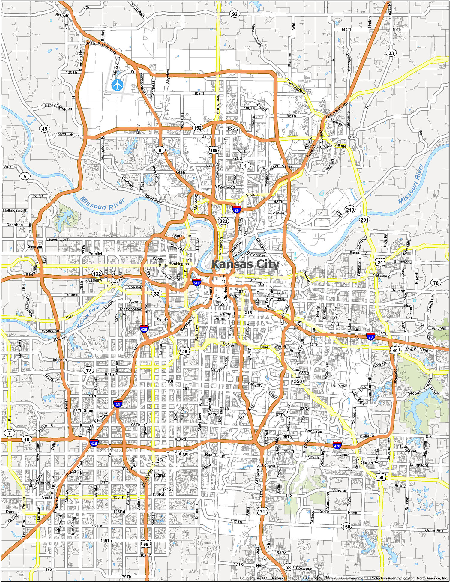
Kansas City Road Map
From historic landmarks to charming neighborhoods, there’s a reason why Kansas City is getting more and more attention from travelers and locals alike. To make the most out of your trip, make sure to take a look at this road map that provides highlights of major highways, interstates, and state routes. Color-coding is used to differentiate between the different types of roads. Interstate Highways include I-29, I-35, I-70, I-435, I-470, I-635, and I-670. US Highways include 9, 24, 40, 45, 56, 69, 71, 78, 92, 150, 152, 169, 210, 283, 291, and 350. Parkways/Expressways include Blue Parkway, Roanoke Parkway, Shawnee Mission Parkway, Swope Parkway, and Ward Parkway. Major roads include 5th Street, 6th Street, 23rd Street, 31st Street, 47th Street, 64th Street, Armour Road, Arrowhead Trfy, Barry Road, Belleview Avenue, Cookingham Drive, Euclid Avenue, Front Street, Frontage Road, Grand Boulevard, Hampton Road, Independence Avenue, Karnes Boulevard, Madison Avenue, Michigan Avenue, Noland Road, Oak Trfy, Paseo Boulevard, Prospect Avenue, Raytown Road, Southwest Trfy, Stadium Street, Summit Street, Troost Avenue, Truman Road, Van Brunt Boulevard, Vivion Road, Volker Boulevard, and Winner Road.
Kansas City is an amazing place to explore, offering a variety of landmarks, parks and points of interest. Whether you’re looking to explore indoors or outdoors, you can find something to do in Kansas City. From airports to villages, lakes and rivers, you can find all the reference information you need on this easy-to-use city map. With this map, you can save yourself time and be prepared for your next trip.
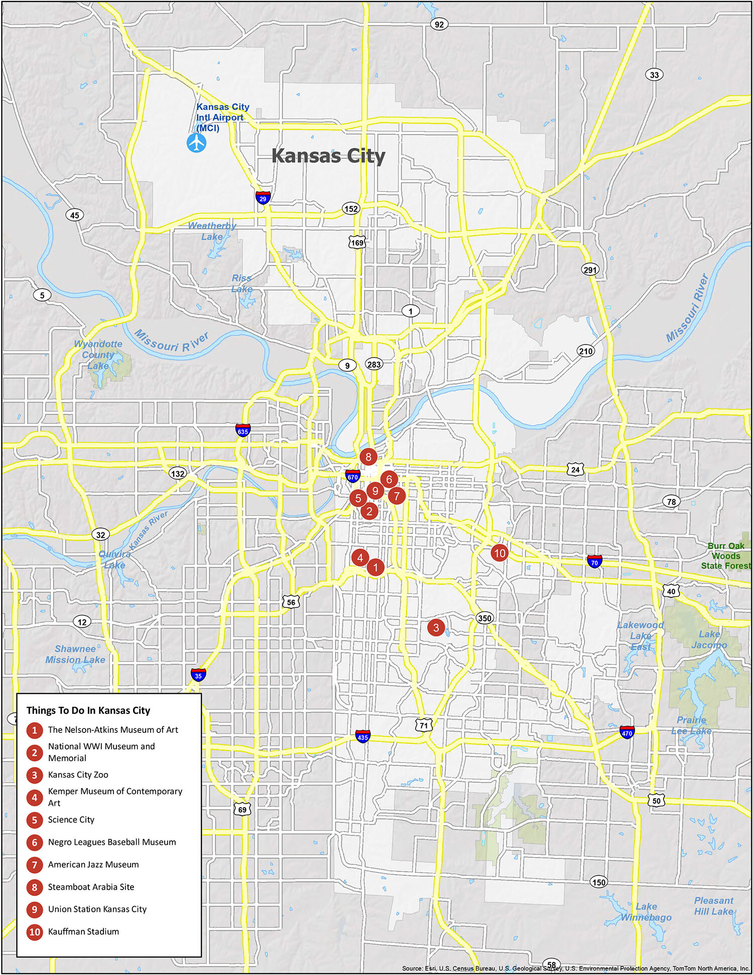
10 things to do in Kansas City city
Looking for the best hotels, bars, attractions, and restaurants? This interactive map is perfect for you to discover the best places to visit in the heart of Kansas City. For example, you can explore its surrounding area in more detail in this interactive map. It has all the major places of interest, restaurants, shops, parks, and attractions so you can navigate around better in the city. Whether you’re just passing through or staying for a while, this map will provide everything you need to know to explore the city in an easy and convenient way.
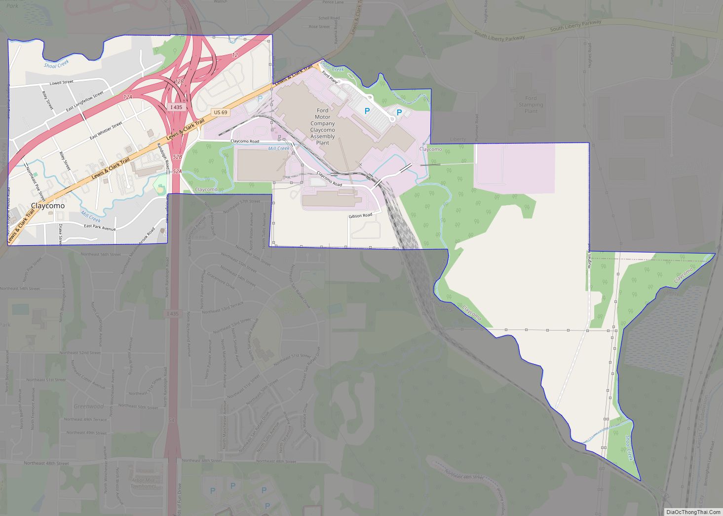
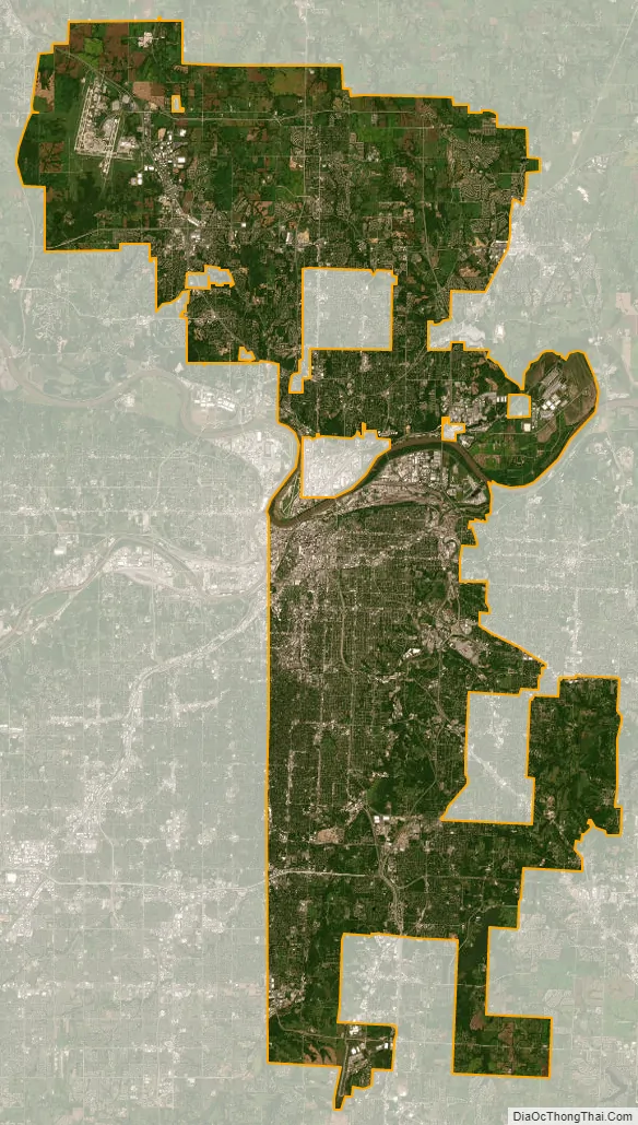
Kansas City city Satellite Map
Geography
The city has an area of 319.03 square miles (826.28 km), of which, 314.95 square miles (815.72 km) is land and 4.08 square miles (10.57 km) is water. Bluffs overlook the rivers and river bottom areas. Kansas City proper is bowl-shaped and is surrounded to the north and south by glacier-carved limestone and bedrock cliffs. Kansas City is at the confluence between the Dakota and Minnesota ice lobes during the maximum late Independence glaciation of the Pleistocene epoch. The Kansas and Missouri rivers cut wide valleys into the terrain when the glaciers melted and drained. A partially filled spillway valley crosses the central city. This valley is an eastward continuation of the Turkey Creek Valley. It is the closest major city to the geographic center of the contiguous United States, or “Lower 48”.
Cityscape
Kansas City, Missouri, comprises more than 240 neighborhoods, some with histories as independent cities or as the sites of major events.
The Nelson-Atkins Museum of Art opened its Euro-Style Bloch addition in 2007, and the Safdie-designed Kauffman Center for the Performing Arts opened in 2011. The Power and Light Building is influenced by the Art Deco style and sports a glowing sky beacon. The new world headquarters of H&R Block is a 20-story all-glass oval bathed in a soft green light. The four industrial artworks atop the support towers of the Kansas City Convention Center (Bartle Hall) were once the subject of ridicule, but now define the night skyline near the T-Mobile Center along with One Kansas City Place (Missouri’s tallest office tower), the KCTV-Tower (Missouri’s tallest freestanding structure) and the Liberty Memorial, a World War I memorial and museum that flaunts simulated flames and smoke billowing into the night skyline. It was designated as the National World War I Museum and Memorial in 2004 by the United States Congress. Kansas City is home to significant national and international architecture firms including ACI Boland, BNIM, 360 Architecture, HNTB, Populous. Frank Lloyd Wright designed two private residences and Community Christian Church there.
Kansas City hosts more than 200 working fountains, especially on the Country Club Plaza. Designs range from French-inspired traditional to modern. Highlights include the Black Marble H&R Block fountain in front of Union Station, which features synchronized water jets; the Nichols Bronze Horses at the corner of Main and J.C. Nichols Parkway at the entrance to the Plaza Shopping District; and the fountain at Hallmark Cards World Headquarters in Crown Center.
Since its inception in 1857, City Market has been one of the largest and most enduring public farmers’ markets in the American Midwest, linking growers and small businesses to the community. More than 30 full-time merchants operate year-round and offer specialty foods, fresh meats and seafood, restaurants and cafes, floral, home accessories and more. The City Market is also home to the Arabia Steamboat Museum, which houses artifacts from a steamboat that sank near Kansas City in 1856.
Downtown Kansas City is an area of 2.9 square miles (7.5 km) bounded by the Missouri River to the north, 31st Street to the south, Troost Avenue to the East, and State Line Road to the west. Areas near Downtown Kansas City include the 39th Street District, which is known as Restaurant Row, and features one of Kansas City’s largest selections of independently owned restaurants and boutique shops. It is a center of literary and visual arts, and bohemian culture. Crown Center is the headquarters of Hallmark Cards and a major downtown shopping and entertainment complex. It is connected to Union Station by a series of covered walkways. The Country Club Plaza, or simply “the Plaza”, is an upscale, outdoor shopping and entertainment district. It was the first suburban shopping district in the United States, designed to accommodate shoppers arriving by automobile, and is surrounded by apartments and condominiums, including a number of high rise buildings. The associated Country Club District to the south includes the Sunset Hill and Brookside neighborhoods, and is traversed by Ward Parkway, a landscaped boulevard known for its statuary, fountains and large, historic homes. Kansas City’s Union Station is home to Science City, restaurants, shopping, theaters, and the city’s Amtrak facility.
After years of neglect and seas of parking lots, Downtown Kansas City is undergoing a period of change with over $6 billion in development since 2000. Many residential properties recently have been or are under redevelopment in three surrounding warehouse loft districts and the Central Business District. The Power & Light District, a new, nine-block entertainment district comprising numerous restaurants, bars, and retail shops, was developed by the Cordish Company of Baltimore, Maryland. Its first tenant opened on November 9, 2007. It is anchored by the T-Mobile Center, a 19,000-seat sports and entertainment complex.
Climate
Kansas City lies in the Midwestern United States, near the geographic center of the country, at the confluence of the Missouri and Kansas rivers. The city either lies in the humid continental zone, or in the northern periphery of the humid subtropical zone, depending on the isotherm used. Additionally, the city experiences roughly 104 air frosts on average per annum. The city is part of USDA plant hardiness zones 5b and 6a. In the center of North America, far removed from a significant body of water, there is significant potential for extreme hot and cold swings throughout the year. The warmest month is July, with a 24-hour average temperature of 81.0 °F (27.2 °C). The summer months are hot and humid, with moist air riding up from the Gulf of Mexico, and high temperatures surpass 100 °F (38 °C) on 5.6 days of the year, and 90 °F (32 °C) on 47 days. The coldest month of the year is January, with an average temperature of 31.0 °F (−0.6 °C). Winters are cold, with 22 days where the high temperature is at or below 32 °F (0 °C) and 2.5 nights with a low at or below 0 °F (−18 °C). The official record highest temperature is 113 °F (45 °C), set on August 14, 1936, at Downtown Airport, while the official record lowest is −23 °F (−31 °C), set on December 22 and 23, 1989. Normal seasonal snowfall is 13.4 inches (34 cm) at Downtown Airport and 18.8 in (48 cm) at Kansas City International Airport. The average window for freezing temperatures is October 31 to April 4, while for measurable (0.1 in or 0.25 cm) snowfall, it is November 27 to March 16 as measured at Kansas City International Airport. Precipitation, both in frequency and total accumulation, shows a marked uptick in late spring and summer.
Kansas City is located in “Tornado Alley”, a broad region where cold air from Canada collides with warm air from the Gulf of Mexico, leading to the formation of powerful storms, especially during the spring. The Kansas City metropolitan area has experienced several significant outbreaks of tornadoes in the past, including the Ruskin Heights tornado in 1957 and the May 2003 tornado outbreak sequence. The region can also experience ice storms during the winter months, such as the 2002 ice storm during which hundreds of thousands of residents lost power for days and (in some cases) weeks. Kansas City and its outlying areas are also subject to flooding, including the Great Floods of 1951 and 1993.
See also
Map of Missouri State and its subdivision:- Adair
- Andrew
- Atchison
- Audrain
- Barry
- Barton
- Bates
- Benton
- Bollinger
- Boone
- Buchanan
- Butler
- Caldwell
- Callaway
- Camden
- Cape Girardeau
- Carroll
- Carter
- Cass
- Cedar
- Chariton
- Christian
- Clark
- Clay
- Clinton
- Cole
- Cooper
- Crawford
- Dade
- Dallas
- Daviess
- De Kalb
- Dent
- Douglas
- Dunklin
- Franklin
- Gasconade
- Gentry
- Greene
- Grundy
- Harrison
- Henry
- Hickory
- Holt
- Howard
- Howell
- Iron
- Jackson
- Jasper
- Jefferson
- Johnson
- Knox
- Laclede
- Lafayette
- Lawrence
- Lewis
- Lincoln
- Linn
- Livingston
- Macon
- Madison
- Maries
- Marion
- McDonald
- Mercer
- Miller
- Mississippi
- Moniteau
- Monroe
- Montgomery
- Morgan
- New Madrid
- Newton
- Nodaway
- Oregon
- Osage
- Ozark
- Pemiscot
- Perry
- Pettis
- Phelps
- Pike
- Platte
- Polk
- Pulaski
- Putnam
- Ralls
- Randolph
- Ray
- Reynolds
- Ripley
- Saint Charles
- Saint Clair
- Saint Francois
- Saint Louis
- Sainte Genevieve
- Saline
- Schuyler
- Scotland
- Scott
- Shannon
- Shelby
- Stoddard
- Stone
- Sullivan
- Taney
- Texas
- Vernon
- Warren
- Washington
- Wayne
- Webster
- Worth
- Wright
- Alabama
- Alaska
- Arizona
- Arkansas
- California
- Colorado
- Connecticut
- Delaware
- District of Columbia
- Florida
- Georgia
- Hawaii
- Idaho
- Illinois
- Indiana
- Iowa
- Kansas
- Kentucky
- Louisiana
- Maine
- Maryland
- Massachusetts
- Michigan
- Minnesota
- Mississippi
- Missouri
- Montana
- Nebraska
- Nevada
- New Hampshire
- New Jersey
- New Mexico
- New York
- North Carolina
- North Dakota
- Ohio
- Oklahoma
- Oregon
- Pennsylvania
- Rhode Island
- South Carolina
- South Dakota
- Tennessee
- Texas
- Utah
- Vermont
- Virginia
- Washington
- West Virginia
- Wisconsin
- Wyoming