Colorado Springs, coloquially called The Springs, is a home rule municipality in and the county seat of El Paso County, Colorado, United States. It is the largest city in El Paso County, with a population of 478,961 at the 2020 United States Census, a 15.02% increase since 2010. Colorado Springs is the second-most populous city and the most extensive city in the state of Colorado by land area, and the 40th-most populous city in the United States. It is the principal city of the Colorado Springs metropolitan area and the second-most prominent city of the Front Range Urban Corridor. It is located in east-central Colorado, on Fountain Creek, 70 miles (113 km) south of Denver.
At 6,035 feet (1,839 m) the city stands over 1 mile (1.6 km) above sea level. Colorado Springs is near the base of Pikes Peak, which rises 14,115 feet (4,302.31 m) above sea level on the eastern edge of the Southern Rocky Mountains. The city is the largest city north of Mexico above 6000 feet in elevation.
| Name: | Colorado Springs city |
|---|---|
| LSAD Code: | 25 |
| LSAD Description: | city (suffix) |
| State: | Colorado |
| County: | El Paso County |
| Incorporated: | June 19, 1886 |
| Total Area: | 195.761 sq mi (507.019 km²) |
| Land Area: | 195.399 sq mi (506.082 km²) |
| Water Area: | 0.362 sq mi (0.937 km²) |
| Total Population: | 478,961 |
| Population Density: | 2,400/sq mi (900/km²) |
| ZIP code: | 80901–80951, 80960, 80962, 80970, 80977, 80995, 80997 |
| Area code: | 719 |
| FIPS code: | 0816000 |
| GNISfeature ID: | 0204797 |
| Website: | coloradosprings.gov |
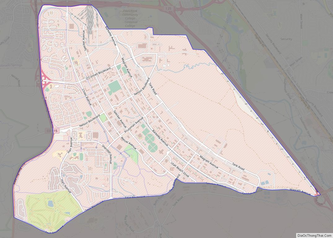
Explore the vibrant city of Colorado Springs with our Colorado Springs map collection. Whether you’re looking for trails, parks, or geological wonders, you’ll find it all here. Get ready to explore the Rocky Mountains and experience all the beauty that Colorado Springs has to offer.
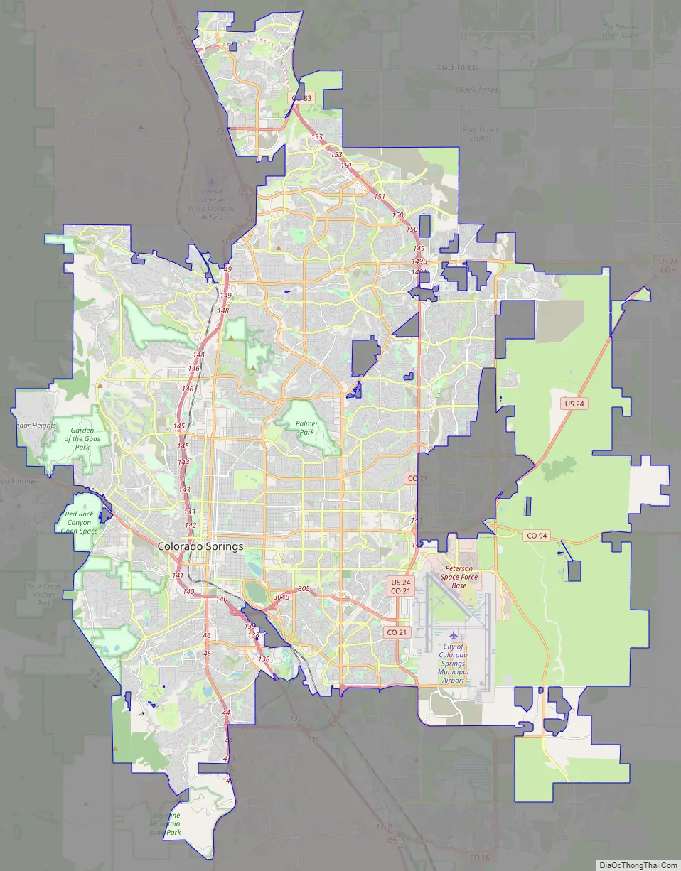
Online Interactive Map
Click on ![]() to view map in "full screen" mode.
to view map in "full screen" mode.
This interactive map is full of attractions and activities to help you plan your vacation. From places to eat to attractions, this map is your guide to the best of Colorado Springs. With just a few clicks on our map of Colorado Springs, you can explore the city’s most iconic attractions and get the lay of the land.
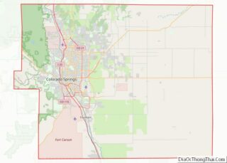
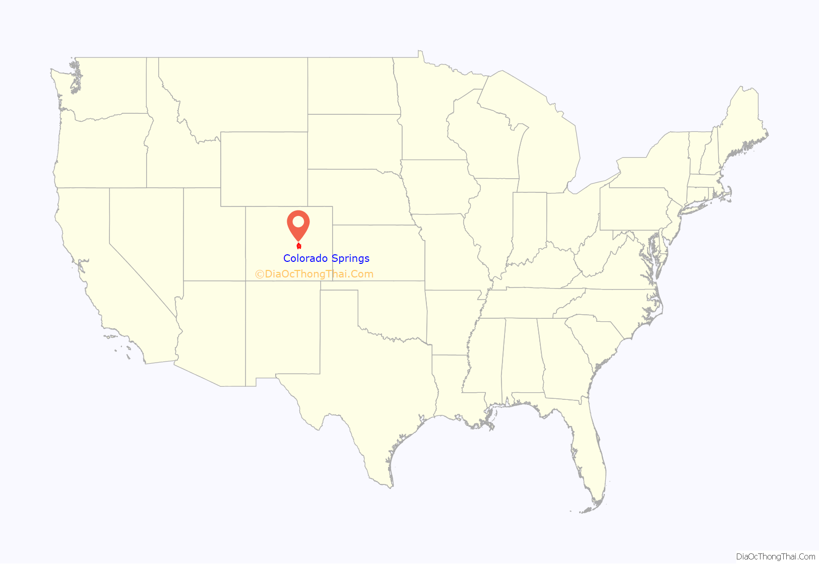
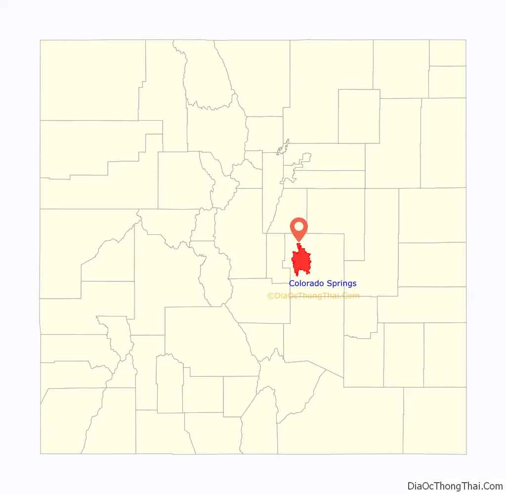
Colorado Springs location map. Where is Colorado Springs city?
History
The Ute, Arapaho and Cheyenne peoples were the first recorded inhabiting the area which would become Colorado Springs. Part of the territory included in the United States’ 1803 Louisiana Purchase, the current city area was designated part of the 1854 Kansas Territory. In 1859, after the first local settlement was established, it became part of the Jefferson Territory on October 24 and of El Paso County on November 28. Colorado City at the Front Range confluence of Fountain and Camp creeks was “formally organized on August 13, 1859” during the Pikes Peak Gold Rush. It served as the capital of the Colorado Territory from November 5, 1861, until August 14, 1862, when the capital was moved to Golden, before it was finally moved to Denver in 1867. So many immigrants from England had settled in Colorado Springs by the early 1870s that Colorado Springs was locally referred to as “Little London.” In 1871 the Colorado Springs Company laid out the towns of La Font (later called Manitou Springs) and Fountain Colony, upstream and downstream respectively, of Colorado City. Within a year, Fountain Colony was renamed Colorado Springs and officially incorporated. The El Paso County seat shifted from Colorado City in 1873 to the Town of Colorado Springs. On December 1, 1880, Colorado Springs expanded northward with two annexations.
The second period of annexations was during 1889–90, and included Seavey’s Addition, West Colorado Springs, East End, and another North End addition. In 1891 the Broadmoor Land Company built the Broadmoor suburb, which included the Broadmoor Casino, and by December 12, 1895, the city had “four Mining Exchanges and 275 mining brokers.” By 1898, the city was designated into quadrants by the north-south Cascade Avenue and the east-west Washington/Pikes Peak avenues.
From 1899 to 1901 Tesla Experimental Station operated on Knob Hill, and aircraft flights to the Broadmoor’s neighboring fields began in 1919. Alexander Airport north of the city opened in 1925, and in 1927 the original Colorado Springs Municipal Airport land was purchased east of the city.
The city’s military presence began during World War II, beginning with Camp Carson (now the 135,000-acre Fort Carson base) that was established in 1941. During the war, the United States Army Air Forces leased land adjacent to the municipal airfield, naming it Peterson Field in December 1942.
In November 1950, Ent Air Force Base was selected as the Cold War headquarters for Air Defense Command (ADC). The former WWII Army Air Base, Peterson Field, which had been inactivated at the end of the war, was re-opened in 1951 as a U.S. Air Force base. North American Aerospace Defense Command (NORAD) was established as a hardened command and control center within the Cheyenne Mountain Complex during the Cold War.
Between 1965 and 1968, the University of Colorado Colorado Springs, Pikes Peak State College and Colorado Technical University were established in or near the city. In 1977 most of the former Ent AFB became a US Olympic training center. The Libertarian Party was founded within the city in the 1970s.
On October 1, 1981, the Broadmoor Addition, Cheyenne Canon, Ivywild, Skyway, and Stratton Meadows were annexed after the Colorado Supreme Court “overturned a district court decision that voided the annexation”. Further annexations expanding the city include the Nielson Addition and Vineyard Commerce Park Annexation in September 2008.
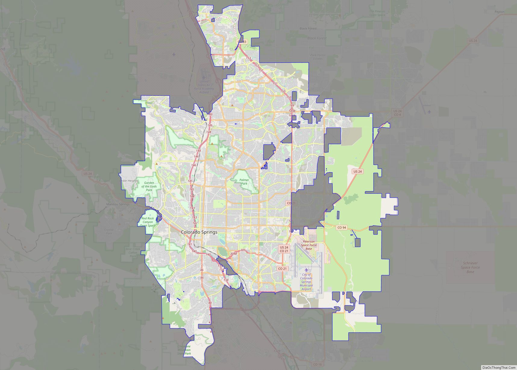
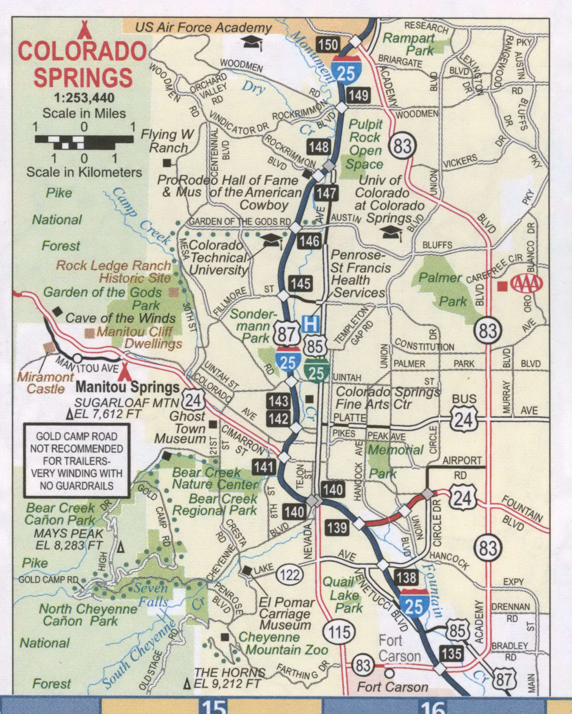
Colorado Springs Road Map
Exploring the city of Colorado Springs has never been easier! With this handy one-page map, you can find your way around the city like a pro. Interstate 25 (I-25), US highways 24, 29, 38, 83, 94, 115 and 122, and parkways Austin Bluffs Pky and Briargate Pky are all clearly marked. Additionally, there are major roads including 21st St, Academy Blvd, Airport Rd, Bijou St, Cimarron St, Circle Dr, Constitution Ave, Cresta Rd, Fillmore St, Fountain Blvd, Garden Of The Gods Rd, Kiowa St, Lake Ave, Lake Cir, Mesa Ave, Nevada Ave, Platte Ave, Powers Blvd, Sierra Madre St, Uintah St, Union Blvd, Venetucci Blvd, and Wahsatch Ave shown on the map for easy navigation. With this map, you can find your way around the city of Colorado Springs like a pro!
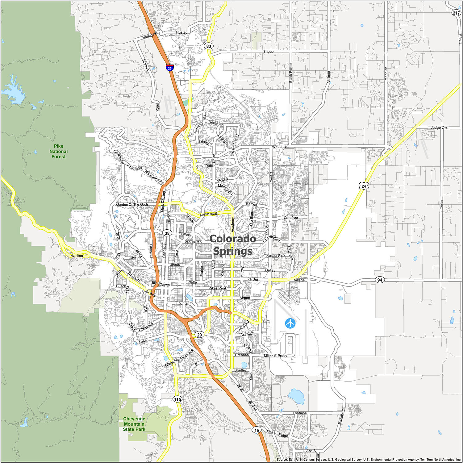
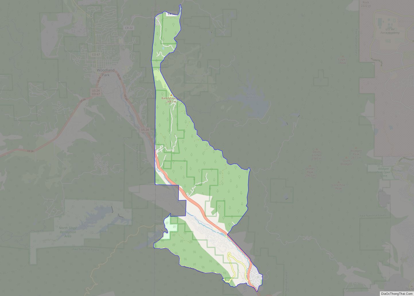
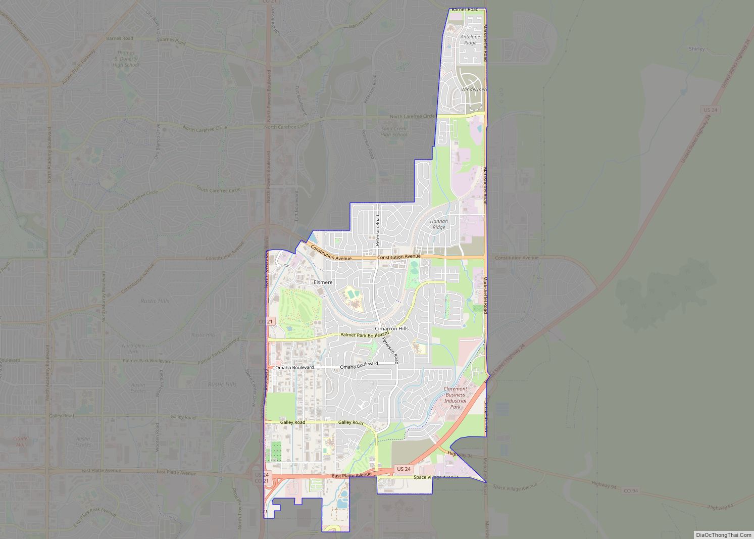
Colorado Springs is a beautiful city with a lot to offer. From the majestic Rocky Mountains to the peaceful parks, there is something for everyone. The city is home to the Colorado Springs Airport (COS), as well as many towns and cities, including Colorado Springs, Fountain, Manitou Springs, Monument, Air Force Academy, Black Forest, Cascade-Chipita Park, Cimarron Hills, Fort Carson, Gleneagle, Rock Creek Park, Security-Widefield, and Stratmoor. With its stunning natural beauty, welcoming atmosphere, and abundance of attractions, Colorado Springs is the perfect place to explore and experience all that Colorado has to offer.
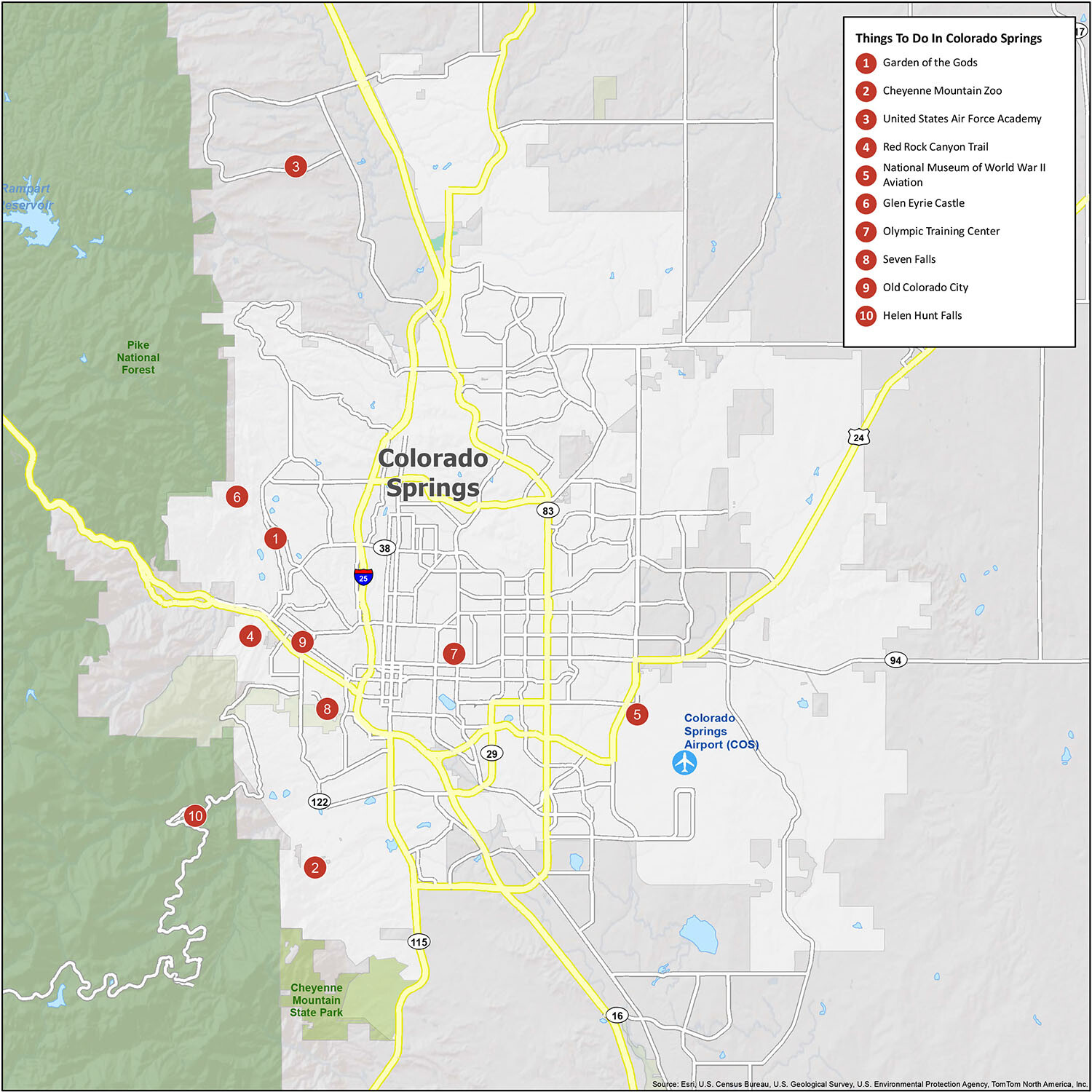
10 things to do in Colorado Springs city
Explore Colorado Springs and its many wonders! From natural formations to historical attractions, there is something for everyone. Visit some of the best-known landmarks like Pikes Peak, Garden of the Gods, and Manitou Springs. Enjoy the trails and parks, and experience a unique geological formation at Red Rock Canyon Trail. Explore the United States Air Force Academy and the National Museum of World War II Aviation. Visit Glen Eyrie Castle, the Olympic Training Center, Seven Falls, Old Colorado City, and Helen Hunt Falls. See the Cheyenne Mountain Zoo and experience all that Colorado Springs has to offer.
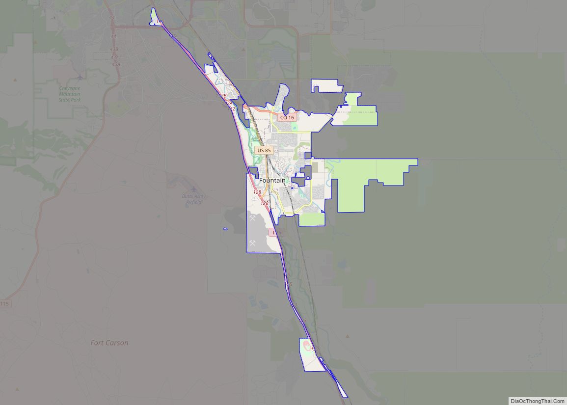
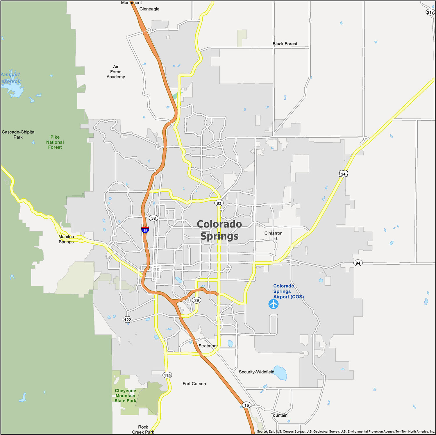
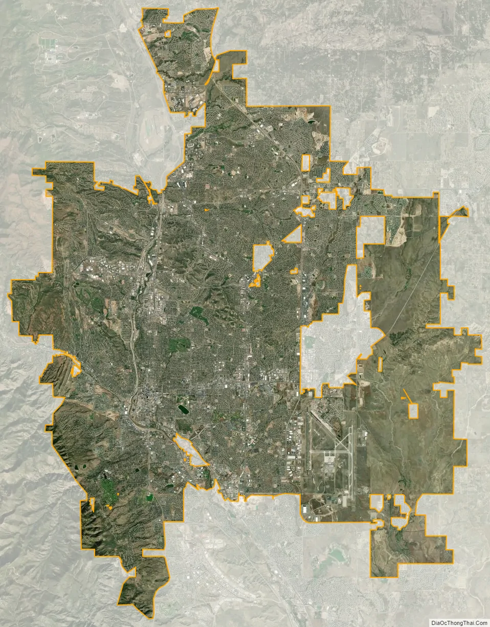
Colorado Springs city Satellite Map
Geography
The city lies in a semi-arid Steppe climate region with the Southern Rocky Mountains to the west, the Palmer Divide to the north, high plains further east, and high desert lands to the south when leaving Fountain and approaching Pueblo. Colorado Springs is 69 miles (111 km) or one hour and five minutes south of Denver by car using I-25.
Colorado Springs has the greatest total area of any municipality in Colorado. At the 2020 United States Census, the city had a total area of 125,287 acres (507.019 km) including 232 acres (0.937 km) of water.
Metropolitan area
Colorado Springs has many features of a modern urban area such as parks, bike trails, and open spaces. However, it is not exempt from problems that typically plague cities experiencing tremendous growth such as overcrowded roads and highways, crime, sprawl, and government budgetary issues. Many of the problems are indirectly or directly caused by the city’s difficulty in coping with the large population growth experienced since 1997, and the annexation of the Banning Lewis Ranch area to accommodate further population growth of 175,000 future residents.
Climate
Colorado Springs has a cooler, dry-winter semi-arid climate (Köppen BSk), and its location just east of the Rocky Mountains affords it the rapid warming influence from chinook winds during winter but also subjects it to drastic day-to-day variability in weather conditions. The city has abundant sunshine year-round, averaging 243 sunny days per year, and receives approximately 16.5 inches (419 mm) of annual precipitation. Due to unusually low precipitation for several years after flooding in 1999, Colorado Springs enacted lawn water restrictions in 2002. These were lifted in 2005 but permanently reinstated in December 2019.
Colorado Springs is one of the most active lightning strike areas in the United States. This natural phenomenon led Nikola Tesla to select Colorado Springs as the preferred location to build his lab and study electricity.
December is typically the coldest month, averaging 30.8 °F (−0.7 °C). Historically, January had been the coldest month, but, in recent years, December has had both lower daily maxima and minima. Typically, there are 5.2 nights with sub-0 °F (−18 °C) lows and 23.6 days where the high does not rise above freezing.
Snowfall is usually moderate and remains on the ground briefly because of direct sun, with the city receiving 38 inches (97 cm) per season, although the mountains to the west often receive in excess of triple that amount; March is the snowiest month in the region, both by total accumulation and number of days with measurable snowfall. In addition, 8 of the top 10 heaviest 24-hour snowfalls have occurred from March to May. Summers are warm, with July, the warmest month, averaging 70.9 °F (21.6 °C), and 18 days of 90 °F (32 °C)+ highs annually. Due to the high elevation and aridity, nights are usually relatively cool and rarely does the low remain above 70 °F (21 °C). Dry weather generally prevails, but brief afternoon thunderstorms are common, especially in July and August when the city receives the majority of its annual rainfall, due to the North American monsoon.
The first autumn freeze and the last freeze in the spring, on average, occur on October 2 and May 6, respectively; the average window for measurable snowfall (≥0.1 in or 0.25 cm) is October 21 through April 25. Extreme temperatures range from 101 °F (38 °C) on June 26, 2012 and most recently on June 21, 2016, down to −27 °F (−33 °C) on February 1, 1951, and December 9, 1919.
Cityscape
See also
Map of Colorado State and its subdivision:- Adams
- Alamosa
- Arapahoe
- Archuleta
- Baca
- Bent
- Boulder
- Broomfield
- Chaffee
- Cheyenne
- Clear Creek
- Conejos
- Costilla
- Crowley
- Custer
- Delta
- Denver
- Dolores
- Douglas
- Eagle
- El Paso
- Elbert
- Fremont
- Garfield
- Gilpin
- Grand
- Gunnison
- Hinsdale
- Huerfano
- Jackson
- Jefferson
- Kiowa
- Kit Carson
- La Plata
- Lake
- Larimer
- Las Animas
- Lincoln
- Logan
- Mesa
- Mineral
- Moffat
- Montezuma
- Montrose
- Morgan
- Otero
- Ouray
- Park
- Phillips
- Pitkin
- Prowers
- Pueblo
- Rio Blanco
- Rio Grande
- Routt
- Saguache
- San Juan
- San Miguel
- Sedgwick
- Summit
- Teller
- Washington
- Weld
- Yuma
- Alabama
- Alaska
- Arizona
- Arkansas
- California
- Colorado
- Connecticut
- Delaware
- District of Columbia
- Florida
- Georgia
- Hawaii
- Idaho
- Illinois
- Indiana
- Iowa
- Kansas
- Kentucky
- Louisiana
- Maine
- Maryland
- Massachusetts
- Michigan
- Minnesota
- Mississippi
- Missouri
- Montana
- Nebraska
- Nevada
- New Hampshire
- New Jersey
- New Mexico
- New York
- North Carolina
- North Dakota
- Ohio
- Oklahoma
- Oregon
- Pennsylvania
- Rhode Island
- South Carolina
- South Dakota
- Tennessee
- Texas
- Utah
- Vermont
- Virginia
- Washington
- West Virginia
- Wisconsin
- Wyoming