Milwaukee (/mɪlˈwɔːki/ mil-WAW-kee) is a city in the U.S. state of Wisconsin and the county seat of Milwaukee County. With a population of 577,222 at the 2020 census, Milwaukee is the 31st largest city in the United States, the fifth-largest city in the Midwest, and the largest city in the state of Wisconsin.
It is the central city of the Milwaukee metropolitan area, the 40th most populous metropolitan area in the United States. Milwaukee is categorized as a “Gamma minus” city by the Globalization and World Cities Research Network, with a regional GDP of over $102 billion in 2020.
Milwaukee is an ethnically and culturally diverse city. However, it continues to be one of the most racially segregated cities, largely as a result of early-20th-century redlining. Its history was heavily influenced by German immigrants in the 19th century, and it continues to be a center for German-American culture, specifically becoming well known for its brewing industry. In recent years, Milwaukee has undergone several development projects, some of which have added to the city’s skyline. Major additions to the city since the turn of the 21st century include the Wisconsin Center, American Family Field, The Hop (streetcar system), an expansion to the Milwaukee Art Museum, Milwaukee Repertory Theater, the Bradley Symphony Center, and Discovery World, as well as major renovations to the UW–Milwaukee Panther Arena. Fiserv Forum opened in late 2018, and hosts sporting events and concerts. Since 1968, Milwaukee has been home to Summerfest, a large music festival. Milwaukee is home to the Medical College of Wisconsin, UW-Milwaukee, Marquette University, MSOE, and several other colleges. The city is represented in two of the four major professional sports leagues − the Bucks of the NBA and the Brewers of MLB. Milwaukee is home to the Fortune 500 companies of Northwestern Mutual, WEC Energy Group, Rockwell Automation, and Harley-Davidson.
| Name: | Milwaukee city |
|---|---|
| LSAD Code: | 25 |
| LSAD Description: | city (suffix) |
| State: | Wisconsin |
| County: | Milwaukee County, Washington County, Waukesha County |
| Incorporated: | January 31, 1846; 177 years ago (1846-01-31) |
| Elevation: | 617 ft (188 m) |
| Land Area: | 96.18 sq mi (249.12 km²) |
| Water Area: | 0.63 sq mi (1.63 km²) |
| Population Density: | 6,001.48/sq mi (2,317.04/km²) |
| Area code: | 414 |
| FIPS code: | 5553000 |
| GNISfeature ID: | 1577901 |
| Website: | city.milwaukee.gov |
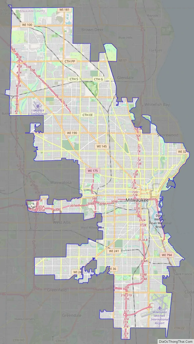
Explore the Milwaukee map collection to get an overview of the city and its surroundings. The road map shows an overview of the city’s major roads, including highways and interstates. The reference map provides detailed information on the city’s topography and its geographical features. In addition, you can find things to do in Milwaukee with the interactive Google Map of Milwaukee.
The Milwaukee map collection will help you plan your next trip to this wonderful city. Whether you’re looking for a road map, reference map, or things to do, this map collection has you covered. Plus, you can explore Milwaukee interactively with the Google Map of Milwaukee for the latest updated information on places to visit.
Discover Milwaukee with this map collection. The road map shows an overview of the city’s major roads, including highways and interstates. The reference map provides detailed information on the city’s topography and its geographical features. Plus, you can explore the city interactively with the Google Map of Milwaukee for the latest updated information on places to visit.
Online Interactive Map
Click on ![]() to view map in "full screen" mode.
to view map in "full screen" mode.
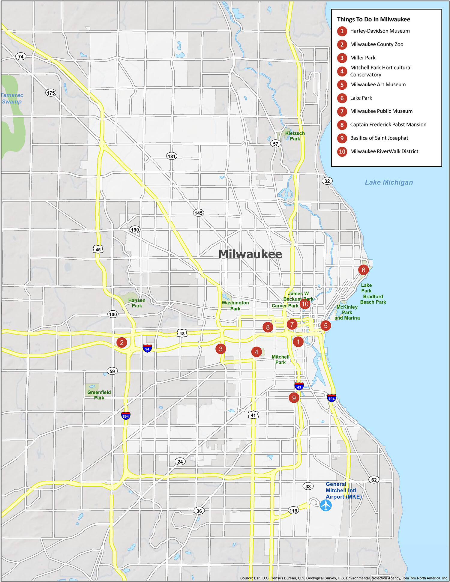
From museums to parks, breweries to art galleries, you’re sure to find something fun to do in Milwaukee. While the city has a bevy of great attractions, you’ll want to make sure you don’t miss any of these hidden gems. This interactive map highlights some of the best places you shouldn’t miss while you’re visiting the city of Milwaukee.
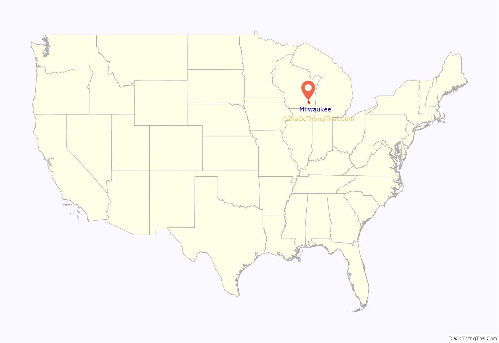
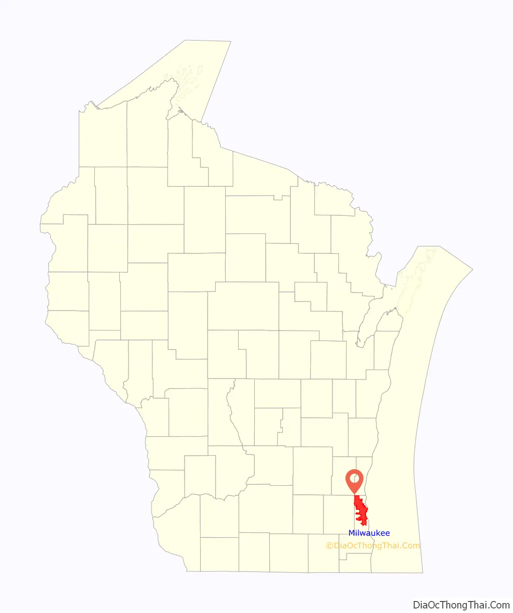
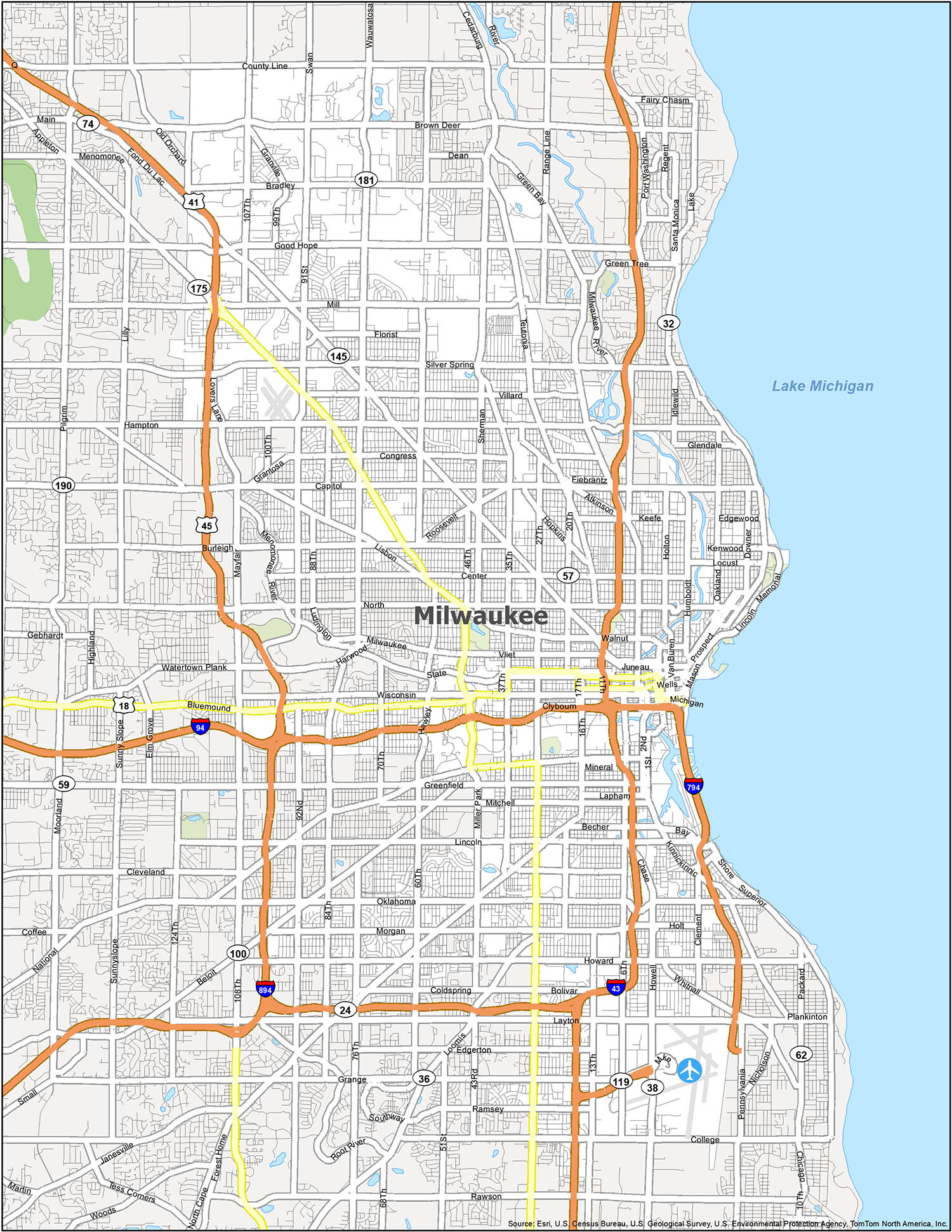
Milwaukee location map. Where is Milwaukee city?
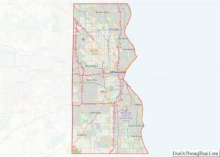
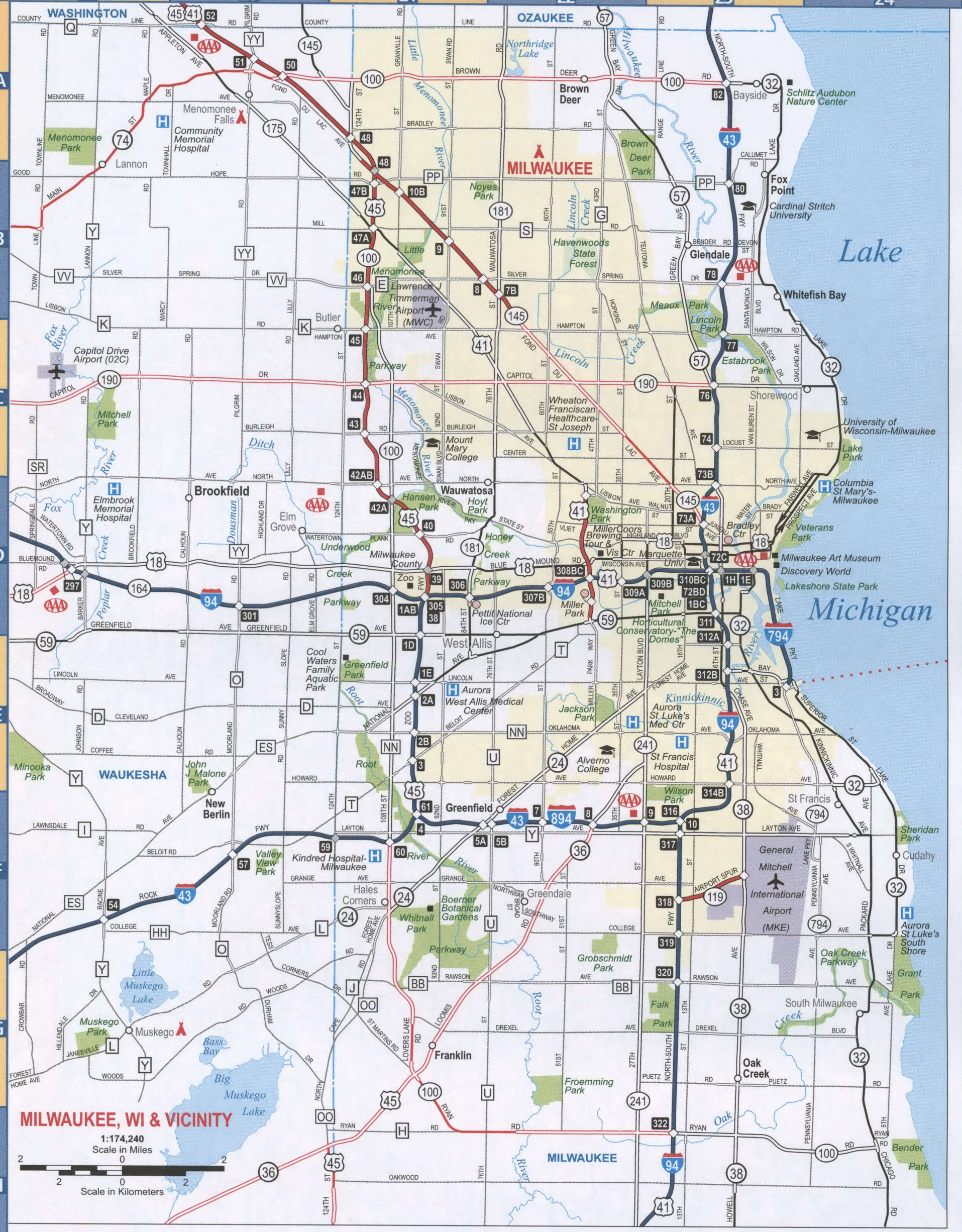
Milwaukee Road Map
Milwaukee is a large city with many sites, so it’s important to know where you’re going, whether you’re planning a weekend getaway or a business trip. With this Milwaukee road map, you’ll find yourself on the right path with detailed interstate, state highway, and major road information within the city and surrounding areas. It’s available in a free, convenient, printable one-page road map. But if you’re looking to get outside the city, then take a look at our Wisconsin road map for more highway information.
Interstate Highways: I-43, I-94, I-794, I-894
US Highways: 18, 24, 32, 36, 38, 41, 45, 57, 59, 100, 119, 145, 175, 181, 190, 794
Causeway/Parkways: Menomonee River Pky, Milwaukee River Pky
Major Roads: 1st St, 6th St, 9th St, 11th St, 16th St, 17th St, 20th St, 27th St, 35th St, 76th St, 84th St, 97th St, 124th St, Appleton Ave, Bluemound Rd, Boundary Rd, Bradford Ave, Broadway, Brown Deer Rd, Capitol Dr, Cesar E Chavez Dr, Chase Ave, Clybourn St, Farwell Ave, Fond Du Lac Ave, Forest Home Ave, Franklin Pl, Grange Ave, Green Bay Ave, Green Bay Rd, Highland Ave, Howell Ave, Jackson St, Kinnickinnic Ave, Knapp St, Lake Dr, Layton Blvd, Lincoln Ave, Lincoln Memorial Dr, Lisbon Ave, Loomis Rd, Lovers Lane Rd, Mayfair Rd, McKinley Ave, Michigan St, Milwaukee St, Mineral St, National Ave, Oklahoma Ave, Old Orchard Rd, Pittsburgh Ave, Prospect Ave, Saint Paul Ave, Silver Spring Dr, State St, Superior St, Van Buren St, Walker St, Wauwatosa Rd, Wells St, Wisconsin Ave
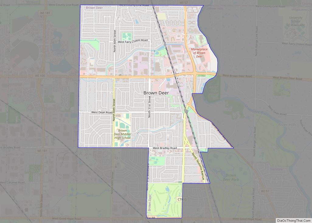
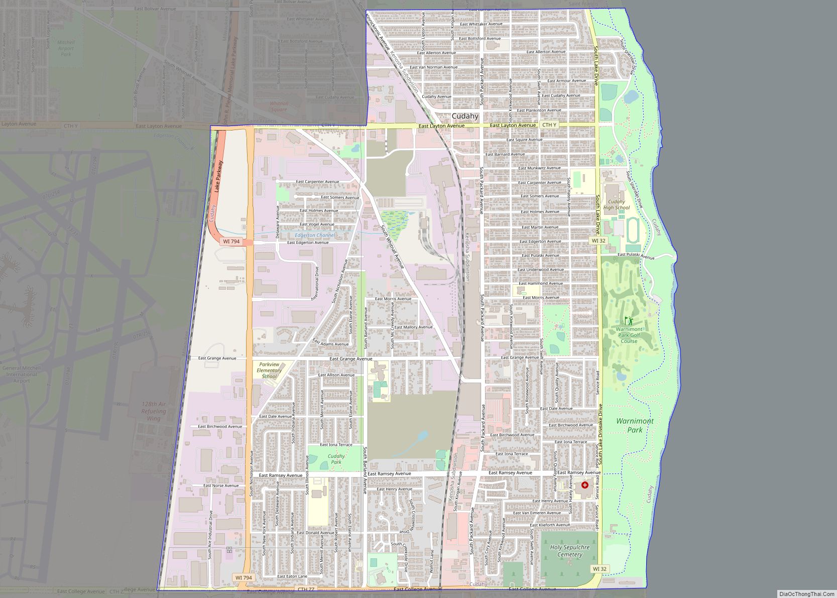
Milwaukee is a city steeped in culture and history, with lots of attractions to explore. From its diverse architecture to its well-preserved historic structures, Milwaukee has plenty to offer visitors. Whether you’re interested in exploring the city’s state parks or its populated areas, the “Cream City” is sure to provide an unforgettable experience. Don’t forget to check out General Mitchell International Airport (MKE) when you’re in town, as well as the cities of Brookfield, Cudahy, Franklin, Glendale, Greenfield, Mequon, Milwaukee, Muskego, New Berlin, Oak Creek, South Milwaukee, St. Francis, Wauwatosa, and West Allis, and the villages of Bayside, Brown Deer, Butler, Elm Grove, Fox Point, Germantown, Greendale, Hales Corners, Menomonee Falls, River Hills, Shorewood, West Milwaukee, and Whitefish Bay.
10 things to do in Milwaukee city
From museums to parks, breweries to art galleries, you’re sure to find something fun to do in Milwaukee. While the city has a bevy of great attractions, you’ll want to make sure you don’t miss any of these hidden gems. This interactive map highlights some of the best places you shouldn’t miss while you’re visiting the city of Milwaukee.
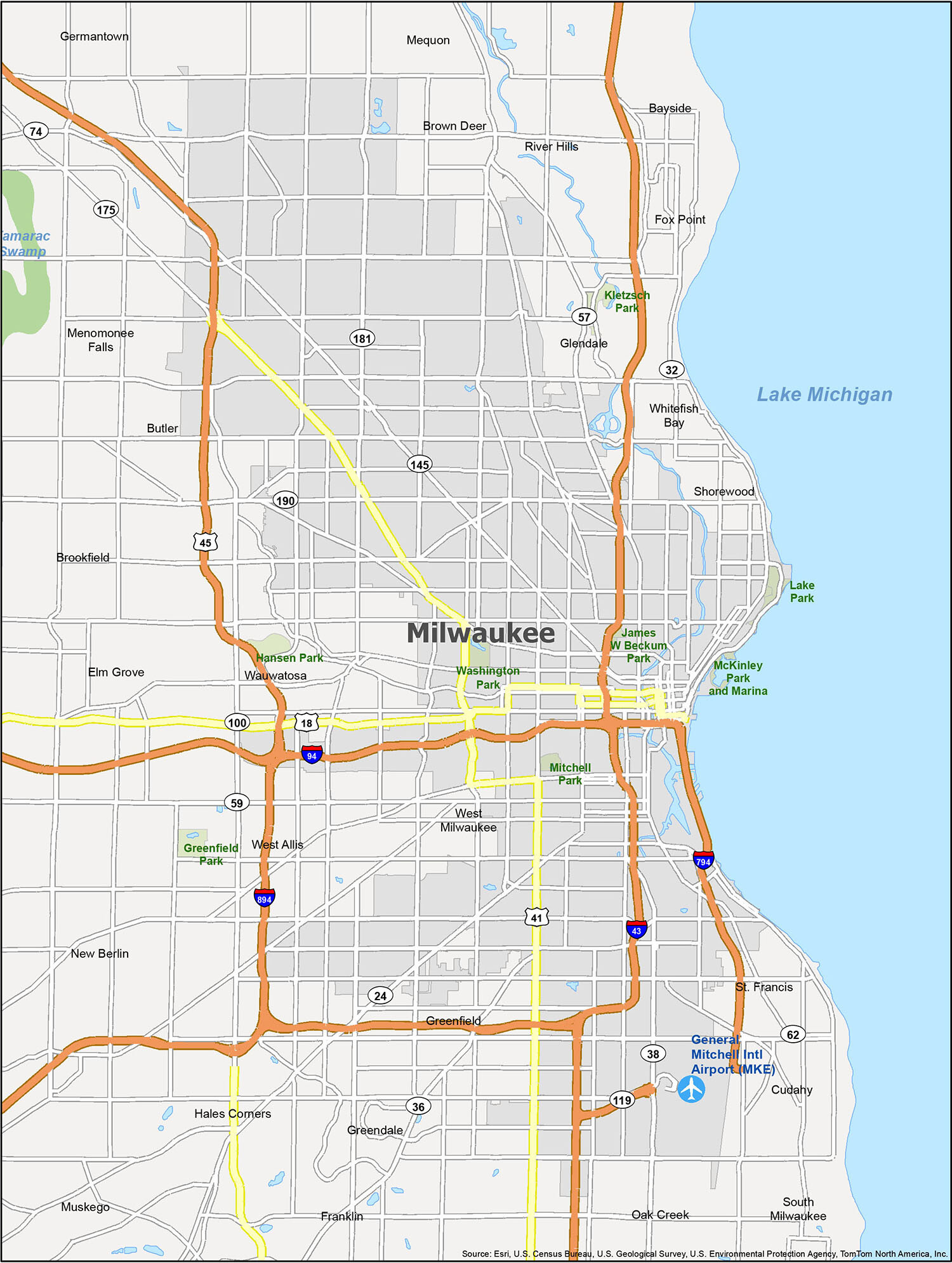
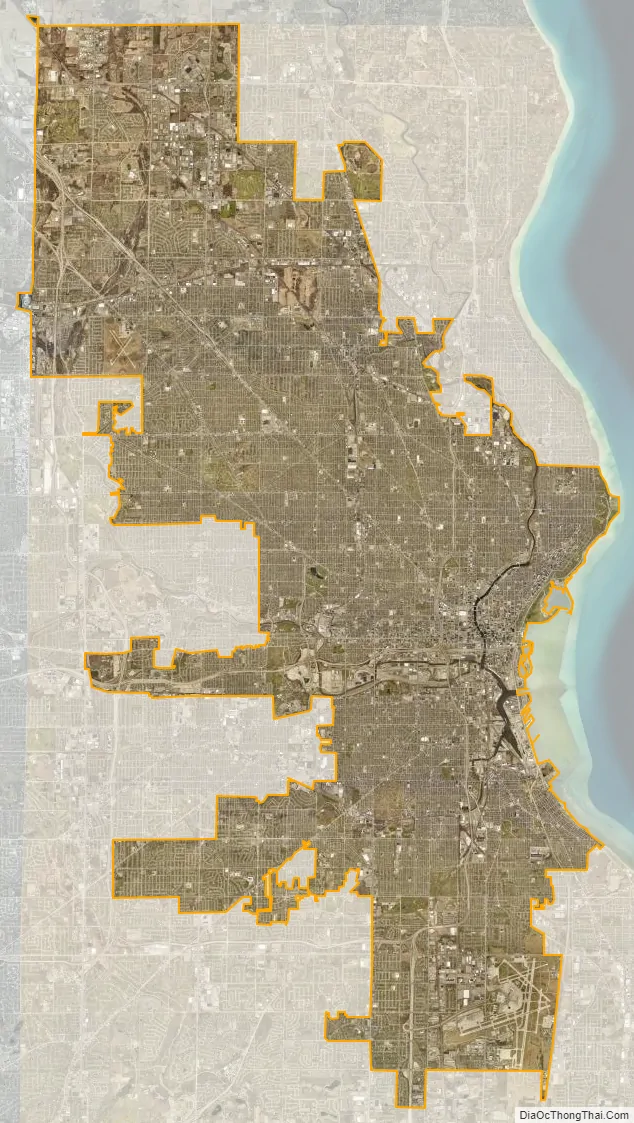
Milwaukee city Satellite Map
Geography
Milwaukee lies along the shores and bluffs of Lake Michigan at the confluence of three rivers: the Menomonee, the Kinnickinnic, and the Milwaukee. Smaller rivers, such as the Root River and Lincoln Creek, also flow through the city.
Milwaukee’s terrain is sculpted by the glacier path and includes steep bluffs along Lake Michigan that begin about a mile (1.6 km) north of downtown. In addition, 30 miles (48 km) southwest of Milwaukee is the Kettle Moraine and lake country that provides an industrial landscape combined with inland lakes.
According to the United States Census Bureau, the city has a total area of 96.80 square miles (250.71 km), of which, 96.12 square miles (248.95 km) is land and 0.68 square miles (1.76 km) is water. The city is overwhelmingly (99.89% of its area) in Milwaukee County, but there are two tiny unpopulated portions that extend into neighboring counties.
Cityscape
North–south streets are numbered, and east–west streets are named. However, north–south streets east of 1st Street are named, like east–west streets. The north–south numbering line is along the Menomonee River (east of Hawley Road) and Fairview Avenue/Golfview Parkway (west of Hawley Road), with the east–west numbering line defined along 1st Street (north of Oklahoma Avenue) and Chase/Howell Avenue (south of Oklahoma Avenue). This numbering system is also used to the north by Mequon in Ozaukee County, and by some Waukesha County communities.
Milwaukee is crossed by Interstate 43 and Interstate 94, which come together downtown at the Marquette Interchange. The Interstate 894 bypass (which as of May 2015 also contains Interstate 41) runs through portions of the city’s southwest side, and Interstate 794 comes out of the Marquette interchange eastbound, bends south along the lakefront and crosses the harbor over the Hoan Bridge, then ends near the Bay View neighborhood and becomes the “Lake Parkway” (WIS-794).
One of the distinctive traits of Milwaukee’s residential areas are the neighborhoods full of so-called Polish flats. These are two-family homes with separate entrances, but with the units stacked one on top of another instead of side-by-side. This arrangement enables a family of limited means to purchase both a home and a modestly priced rental apartment unit. Since Polish-American immigrants to the area prized land ownership, this solution, which was prominent in their areas of settlement within the city, came to be associated with them.
The tallest building in the city is the U.S. Bank Center.
Climate
Milwaukee’s location in the Great Lakes Region often has rapidly changing weather, producing a humid continental climate (Köppen Dfa), with cold, snowy winters, and hot, humid summers. The warmest month of the year is July, when the 24-hour average is 73.3 °F (22.9 °C), while January is the coldest month, with a 24-hour average of 24.0 °F (−4.4 °C).
Because of Milwaukee’s proximity to Lake Michigan, a convection current forms around mid-afternoon in light wind, resulting in the so-called “lake breeze” – a smaller scale version of the more common sea breeze. The lake breeze is most common between the months of March and July. This onshore flow causes cooler temperatures to move inland usually 5 to 15 miles (8 to 24 km), with much warmer conditions persisting further inland. Because Milwaukee’s official climate site, Milwaukee Mitchell International Airport, is only 3 miles (4.8 km) from the lake, seasonal temperature variations are less extreme than in many other locations of the Milwaukee metropolitan area.
As the sun sets, the convection current reverses and an offshore flow ensues causing a land breeze. After a land breeze develops, warmer temperatures flow east toward the lakeshore, sometimes causing high temperatures during the late evening. The lake breeze is not a daily occurrence and will not usually form if a southwest, west, or northwest wind generally exceeds 15 mph (24 km/h). The lake moderates cold air outbreaks along the lakeshore during winter months.
Aside from the lake’s influence, overnight lows in downtown Milwaukee year-round are often much warmer than suburban locations because of the urban heat island effect. Onshore winds elevate daytime relative humidity levels in Milwaukee as compared to inland locations nearby.
Thunderstorms in the region can be dangerous and damaging, bringing hail and high winds. In rare instances, they can bring a tornado. However, almost all summer rainfall in the city is brought by these storms. In spring and fall, longer events of prolonged, lighter rain bring most of the precipitation. A moderate snow cover can be seen on or linger for many winter days, but even during meteorological winter, on average, over 40% of days see less than 1 inch (2.5 cm) on the ground.
Milwaukee tends to experience highs that are 90 °F (32 °C) on or above seven days per year, and lows at or below 0 °F (−18 °C) on six to seven nights. Extremes range from 105 °F (41 °C) set on July 24, 1934 down to −26 °F (−32 °C) on both January 17, 1982 and February 4, 1996. The 1982 event, also known as Cold Sunday, featured temperatures as low as −40 °F (−40 °C) in some of the suburbs as little as 10 miles (16 km) to the north of Milwaukee.
According to the United States’ Environmental Protection Agency, Milwaukee is threatened by ongoing climate change which is warming the planet. These risks include worsened heat waves because many of its residents do not possess air conditioners, concerns about the water quality of Lake Michigan, and increased chances of flooding from intense rainstorms. In 2018, Milwaukee mayor Tom Barrett announced that the city would uphold its obligations under the Paris Agreement, despite the United States’ withdrawal, and set a goal moving a quarter of the city’s electricity sources to renewable energy by 2025. These have included expansions in the city’s solar power-generating capacity and a wind turbine’s installation near the Port of Milwaukee. Other actions being taken include local incentives for energy-saving upgrades to homes and businesses.
Water
In the 1990s and 2000s, Lake Michigan experienced large algae blooms, which can threaten aquatic life. Responding to this problem, in 2009 the city became an “Innovating City” in the Global Compact Cities Program. The Milwaukee Water Council was also formed in 2009. Its objectives were to “better understand the processes related to freshwater systems dynamics” and to develop “a policy and management program aimed at balancing the protection and utilization of freshwater”. The strategy used the Circles of Sustainability method. Instead of treating the water quality problem as a single environmental issue, the Water Council draws on the Circles method to analyze the interconnection among ecological, economic, political and cultural factors. This holistic water treatment helped Milwaukee win the US Water Alliance’s 2012 US Water Prize. In 2009 the University of Wisconsin-Milwaukee also established the University of Wisconsin–Milwaukee School of Freshwater Sciences, the first graduate school of limnology in the United States.
There are more than 3,000 water fountains in the Milwaukee Public School District, 183 had lead levels above 15 parts per billion (ppb). 15 ppb is the federal action level in which effort needs to be taken to lower these lead levels. In Milwaukee, more than 10% of children test positive for dangerous lead levels in their blood.
See also
Map of Wisconsin State and its subdivision:- Adams
- Ashland
- Barron
- Bayfield
- Brown
- Buffalo
- Burnett
- Calumet
- Chippewa
- Clark
- Columbia
- Crawford
- Dane
- Dodge
- Door
- Douglas
- Dunn
- Eau Claire
- Florence
- Fond du Lac
- Forest
- Grant
- Green
- Green Lake
- Iowa
- Iron
- Jackson
- Jefferson
- Juneau
- Kenosha
- Kewaunee
- La Crosse
- Lafayette
- Lake Michigan
- Lake Superior
- Langlade
- Lincoln
- Manitowoc
- Marathon
- Marinette
- Marquette
- Menominee
- Milwaukee
- Monroe
- Oconto
- Oneida
- Outagamie
- Ozaukee
- Pepin
- Pierce
- Polk
- Portage
- Price
- Racine
- Richland
- Rock
- Rusk
- Saint Croix
- Sauk
- Sawyer
- Shawano
- Sheboygan
- Taylor
- Trempealeau
- Vernon
- Vilas
- Walworth
- Washburn
- Washington
- Waukesha
- Waupaca
- Waushara
- Winnebago
- Wood
- Alabama
- Alaska
- Arizona
- Arkansas
- California
- Colorado
- Connecticut
- Delaware
- District of Columbia
- Florida
- Georgia
- Hawaii
- Idaho
- Illinois
- Indiana
- Iowa
- Kansas
- Kentucky
- Louisiana
- Maine
- Maryland
- Massachusetts
- Michigan
- Minnesota
- Mississippi
- Missouri
- Montana
- Nebraska
- Nevada
- New Hampshire
- New Jersey
- New Mexico
- New York
- North Carolina
- North Dakota
- Ohio
- Oklahoma
- Oregon
- Pennsylvania
- Rhode Island
- South Carolina
- South Dakota
- Tennessee
- Texas
- Utah
- Vermont
- Virginia
- Washington
- West Virginia
- Wisconsin
- Wyoming