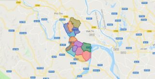
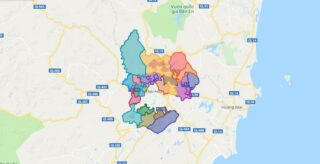
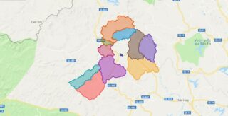
Political Map of Lam Thao district – Phu Tho Interactive online map of Lam Thao District. Source: Database of Global Administrative Areas, Global Map of Vietnam ©ISCGM, Ministry of Nutural Resources and Environment – Vietnam.Base Map Layer: Open Street Map (OSM), Arcgisonline, Google Map, Wmflabs. Large scale maps of Lam Thao District Lam Thao location ... Read more
Map of all districts of Vietnam
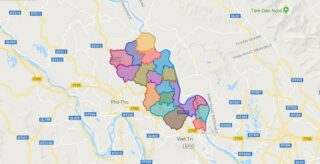
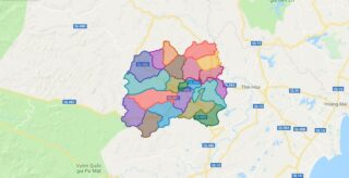
Political Map of Phu Ninh district – Phu Tho Interactive online map of Phu Ninh District. Source: Database of Global Administrative Areas, Global Map of Vietnam ©ISCGM, Ministry of Nutural Resources and Environment – Vietnam.Base Map Layer: Open Street Map (OSM), Arcgisonline, Google Map, Wmflabs. Large scale maps of Phu Ninh District Phu Ninh location ... Read more
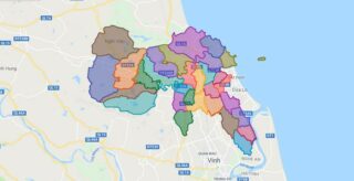
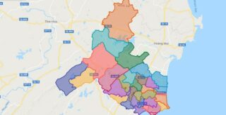
Political Map of Nghi Loc district – Nghe An Interactive online map of Nghi Loc District. Source: Database of Global Administrative Areas, Global Map of Vietnam ©ISCGM, Ministry of Nutural Resources and Environment – Vietnam.Base Map Layer: Open Street Map (OSM), Arcgisonline, Google Map, Wmflabs. Large scale maps of Nghi Loc District Nghi Loc location ... Read more
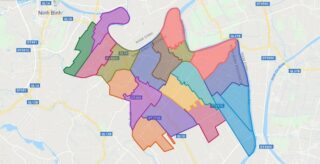
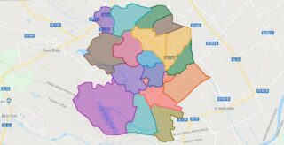
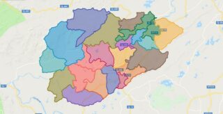
Political Map of Yen Khanh district – Ninh Binh Interactive online map of Yen Khanh District. Source: Database of Global Administrative Areas, Global Map of Vietnam ©ISCGM, Ministry of Nutural Resources and Environment – Vietnam.Base Map Layer: Open Street Map (OSM), Arcgisonline, Google Map, Wmflabs. Large scale maps of Yen Khanh District Yen Khanh location ... Read more
Political Map of Nghia Dan district – Nghe An Interactive online map of Nghia Dan District. Source: Database of Global Administrative Areas, Global Map of Vietnam ©ISCGM, Ministry of Nutural Resources and Environment – Vietnam.Base Map Layer: Open Street Map (OSM), Arcgisonline, Google Map, Wmflabs. Large scale maps of Nghia Dan District Nghia Dan location ... Read more
Political Map of Yen Mo district – Ninh Binh Interactive online map of Yen Mo District. Source: Database of Global Administrative Areas, Global Map of Vietnam ©ISCGM, Ministry of Nutural Resources and Environment – Vietnam.Base Map Layer: Open Street Map (OSM), Arcgisonline, Google Map, Wmflabs. Large scale maps of Yen Mo District Yen Mo location ... Read more
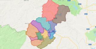
Political Map of Que Phong district – Nghe An Interactive online map of Que Phong District. Source: Database of Global Administrative Areas, Global Map of Vietnam ©ISCGM, Ministry of Nutural Resources and Environment – Vietnam.Base Map Layer: Open Street Map (OSM), Arcgisonline, Google Map, Wmflabs. Large scale maps of Que Phong District Que Phong location ... Read more
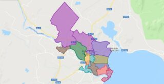
Political Map of Phan Rangcity -Thap Cham city – Ninh Thuan Interactive online map of Phan Rang-Thap Cham City. Source: Database of Global Administrative Areas, Global Map of Vietnam ©ISCGM, Ministry of Nutural Resources and Environment – Vietnam.Base Map Layer: Open Street Map (OSM), Arcgisonline, Google Map, Wmflabs. Large scale maps of Phan Rang-Thap Cham ... Read more
Political Map of Quy Chau district – Nghe An Interactive online map of Quy Chau District. Source: Database of Global Administrative Areas, Global Map of Vietnam ©ISCGM, Ministry of Nutural Resources and Environment – Vietnam.Base Map Layer: Open Street Map (OSM), Arcgisonline, Google Map, Wmflabs. Large scale maps of Quy Chau District Quy Chau location ... Read more
Political Map of Quy Hop district – Nghe An Interactive online map of Quy Hop District. Source: Database of Global Administrative Areas, Global Map of Vietnam ©ISCGM, Ministry of Nutural Resources and Environment – Vietnam.Base Map Layer: Open Street Map (OSM), Arcgisonline, Google Map, Wmflabs. Large scale maps of Quy Hop District Quy Hop location ... Read more
Political Map of Quynh Luu district – Nghe An Interactive online map of Quynh Luu District. Source: Database of Global Administrative Areas, Global Map of Vietnam ©ISCGM, Ministry of Nutural Resources and Environment – Vietnam.Base Map Layer: Open Street Map (OSM), Arcgisonline, Google Map, Wmflabs. Large scale maps of Quynh Luu District Quynh Luu location ... Read more
Political Map of Tan Ky district – Nghe An Interactive online map of Tan Ky District. Source: Database of Global Administrative Areas, Global Map of Vietnam ©ISCGM, Ministry of Nutural Resources and Environment – Vietnam.Base Map Layer: Open Street Map (OSM), Arcgisonline, Google Map, Wmflabs. Large scale maps of Tan Ky District Tan Ky location ... Read more
