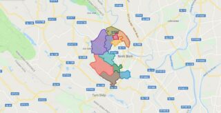
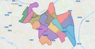
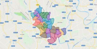
Political Map of Hoa Lu district – Ninh Binh Interactive online map of Hoa Lu District. Source: Database of Global Administrative Areas, Global Map of Vietnam ©ISCGM, Ministry of Nutural Resources and Environment – Vietnam.Base Map Layer: Open Street Map (OSM), Arcgisonline, Google Map, Wmflabs. Large scale maps of Hoa Lu District Hoa Lu location ... Read more
Map of all districts of Vietnam
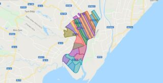
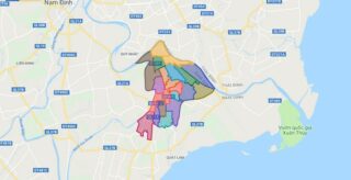
Political Map of Kim Son district – Ninh Binh Interactive online map of Kim Son District. Source: Database of Global Administrative Areas, Global Map of Vietnam ©ISCGM, Ministry of Nutural Resources and Environment – Vietnam.Base Map Layer: Open Street Map (OSM), Arcgisonline, Google Map, Wmflabs. Large scale maps of Kim Son District Kim Son location ... Read more
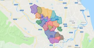
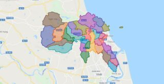
Political Map of Nam Dan district – Nghe An Interactive online map of Nam Dan District. Source: Database of Global Administrative Areas, Global Map of Vietnam ©ISCGM, Ministry of Nutural Resources and Environment – Vietnam.Base Map Layer: Open Street Map (OSM), Arcgisonline, Google Map, Wmflabs. Large scale maps of Nam Dan District Nam Dan location ... Read more
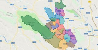
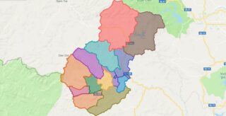
Political Map of Nho Quan district – Ninh Binh Interactive online map of Nho Quan District. Source: Database of Global Administrative Areas, Global Map of Vietnam ©ISCGM, Ministry of Nutural Resources and Environment – Vietnam.Base Map Layer: Open Street Map (OSM), Arcgisonline, Google Map, Wmflabs. Large scale maps of Nho Quan District Nho Quan location ... Read more
Political Map of Nghi Loc district – Nghe An Interactive online map of Nghi Loc District. Source: Database of Global Administrative Areas, Global Map of Vietnam ©ISCGM, Ministry of Nutural Resources and Environment – Vietnam.Base Map Layer: Open Street Map (OSM), Arcgisonline, Google Map, Wmflabs. Large scale maps of Nghi Loc District Nghi Loc location ... Read more
Political Map of Yen Khanh district – Ninh Binh Interactive online map of Yen Khanh District. Source: Database of Global Administrative Areas, Global Map of Vietnam ©ISCGM, Ministry of Nutural Resources and Environment – Vietnam.Base Map Layer: Open Street Map (OSM), Arcgisonline, Google Map, Wmflabs. Large scale maps of Yen Khanh District Yen Khanh location ... Read more
Political Map of Nghia Dan district – Nghe An Interactive online map of Nghia Dan District. Source: Database of Global Administrative Areas, Global Map of Vietnam ©ISCGM, Ministry of Nutural Resources and Environment – Vietnam.Base Map Layer: Open Street Map (OSM), Arcgisonline, Google Map, Wmflabs. Large scale maps of Nghia Dan District Nghia Dan location ... Read more
Political Map of Yen Mo district – Ninh Binh Interactive online map of Yen Mo District. Source: Database of Global Administrative Areas, Global Map of Vietnam ©ISCGM, Ministry of Nutural Resources and Environment – Vietnam.Base Map Layer: Open Street Map (OSM), Arcgisonline, Google Map, Wmflabs. Large scale maps of Yen Mo District Yen Mo location ... Read more
Political Map of Que Phong district – Nghe An Interactive online map of Que Phong District. Source: Database of Global Administrative Areas, Global Map of Vietnam ©ISCGM, Ministry of Nutural Resources and Environment – Vietnam.Base Map Layer: Open Street Map (OSM), Arcgisonline, Google Map, Wmflabs. Large scale maps of Que Phong District Que Phong location ... Read more
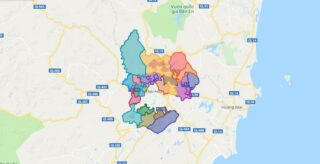
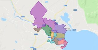
Political Map of Phan Rangcity -Thap Cham city – Ninh Thuan Interactive online map of Phan Rang-Thap Cham City. Source: Database of Global Administrative Areas, Global Map of Vietnam ©ISCGM, Ministry of Nutural Resources and Environment – Vietnam.Base Map Layer: Open Street Map (OSM), Arcgisonline, Google Map, Wmflabs. Large scale maps of Phan Rang-Thap Cham ... Read more
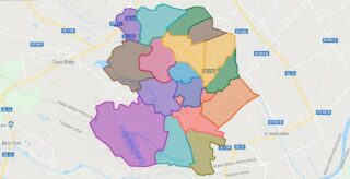
Political Map of Xuan Truong district – Nam Dinh Interactive online map of Xuan Truong District. Source: Database of Global Administrative Areas, Global Map of Vietnam ©ISCGM, Ministry of Nutural Resources and Environment – Vietnam.Base Map Layer: Open Street Map (OSM), Arcgisonline, Google Map, Wmflabs. Large scale maps of Xuan Truong District Xuan Truong location ... Read more
Political Map of Y Yen district – Nam Dinh Interactive online map of Y Yen District. Source: Database of Global Administrative Areas, Global Map of Vietnam ©ISCGM, Ministry of Nutural Resources and Environment – Vietnam.Base Map Layer: Open Street Map (OSM), Arcgisonline, Google Map, Wmflabs. Large scale maps of Y Yen District Y Yen location ... Read more
