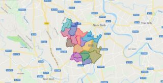
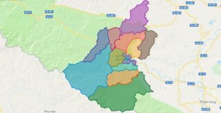
Political Map of Vu Ban district – Nam Dinh Interactive online map of Vu Ban District. Source: Database of Global Administrative Areas, Global Map of Vietnam ©ISCGM, Ministry of Nutural Resources and Environment – Vietnam.Base Map Layer: Open Street Map (OSM), Arcgisonline, Google Map, Wmflabs. Large scale maps of Vu Ban District Vu Ban location ... Read more
Map of all districts of Vietnam
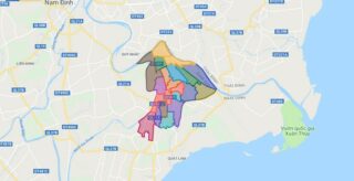
Political Map of Xuan Truong district – Nam Dinh Interactive online map of Xuan Truong District. Source: Database of Global Administrative Areas, Global Map of Vietnam ©ISCGM, Ministry of Nutural Resources and Environment – Vietnam.Base Map Layer: Open Street Map (OSM), Arcgisonline, Google Map, Wmflabs. Large scale maps of Xuan Truong District Xuan Truong location ... Read more
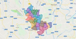
Political Map of Y Yen district – Nam Dinh Interactive online map of Y Yen District. Source: Database of Global Administrative Areas, Global Map of Vietnam ©ISCGM, Ministry of Nutural Resources and Environment – Vietnam.Base Map Layer: Open Street Map (OSM), Arcgisonline, Google Map, Wmflabs. Large scale maps of Y Yen District Y Yen location ... Read more
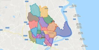
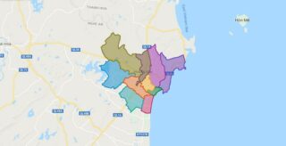
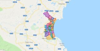
Political Map of Vinh city – Nghe An Interactive online map of Vinh City. Source: Database of Global Administrative Areas, Global Map of Vietnam ©ISCGM, Ministry of Nutural Resources and Environment – Vietnam.Base Map Layer: Open Street Map (OSM), Arcgisonline, Google Map, Wmflabs. Large scale maps of Vinh City Vinh location map Vinh street map ... Read more
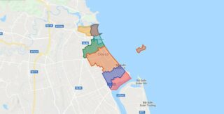
Political Map of Cua Lo town – Nghe An Interactive online map of Cua Lo Town. Source: Database of Global Administrative Areas, Global Map of Vietnam ©ISCGM, Ministry of Nutural Resources and Environment – Vietnam.Base Map Layer: Open Street Map (OSM), Arcgisonline, Google Map, Wmflabs. Large scale maps of Cua Lo Town Cua Lo location ... Read more
Political Map of Hoang Mai town – Nghe An Interactive online map of Hoang Mai Town. Source: Database of Global Administrative Areas, Global Map of Vietnam ©ISCGM, Ministry of Nutural Resources and Environment – Vietnam.Base Map Layer: Open Street Map (OSM), Arcgisonline, Google Map, Wmflabs. Large scale maps of Hoang Mai Town Hoang Mai location ... Read more
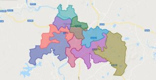
Political Map of Thai Hoa town – Nghe An Interactive online map of Thai Hoa Town. Source: Database of Global Administrative Areas, Global Map of Vietnam ©ISCGM, Ministry of Nutural Resources and Environment – Vietnam.Base Map Layer: Open Street Map (OSM), Arcgisonline, Google Map, Wmflabs. Large scale maps of Thai Hoa Town Thai Hoa location ... Read more
Political Map of Anh Son district – Nghe An Interactive online map of Anh Son District. Source: Database of Global Administrative Areas, Global Map of Vietnam ©ISCGM, Ministry of Nutural Resources and Environment – Vietnam.Base Map Layer: Open Street Map (OSM), Arcgisonline, Google Map, Wmflabs. Large scale maps of Anh Son District Anh Son location ... Read more
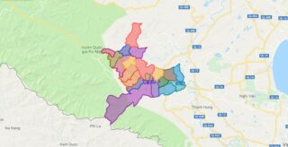
Political Map of Con Cuong district – Nghe An Interactive online map of Con Cuong District. Source: Database of Global Administrative Areas, Global Map of Vietnam ©ISCGM, Ministry of Nutural Resources and Environment – Vietnam.Base Map Layer: Open Street Map (OSM), Arcgisonline, Google Map, Wmflabs. Large scale maps of Con Cuong District Con Cuong location ... Read more
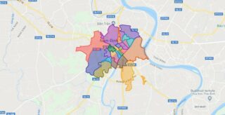
Political Map of Nam Dinh city – Nam Dinh Interactive online map of Nam Dinh City. Source: Database of Global Administrative Areas, Global Map of Vietnam ©ISCGM, Ministry of Nutural Resources and Environment – Vietnam.Base Map Layer: Open Street Map (OSM), Arcgisonline, Google Map, Wmflabs. Large scale maps of Nam Dinh City Nam Dinh location ... Read more
Political Map of Dien Chau district – Nghe An Interactive online map of Dien Chau District. Source: Database of Global Administrative Areas, Global Map of Vietnam ©ISCGM, Ministry of Nutural Resources and Environment – Vietnam.Base Map Layer: Open Street Map (OSM), Arcgisonline, Google Map, Wmflabs. Large scale maps of Dien Chau District Dien Chau location ... Read more
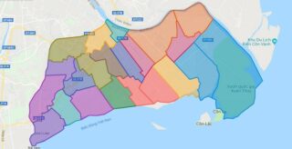
Political Map of Giao Thuy district – Nam Dinh Interactive online map of Giao Thuy District. Source: Database of Global Administrative Areas, Global Map of Vietnam ©ISCGM, Ministry of Nutural Resources and Environment – Vietnam.Base Map Layer: Open Street Map (OSM), Arcgisonline, Google Map, Wmflabs. Large scale maps of Giao Thuy District Giao Thuy location ... Read more
