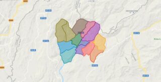
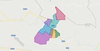
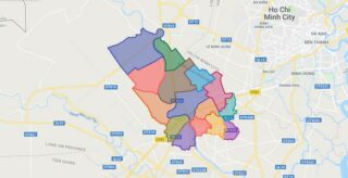
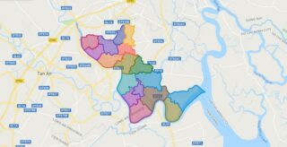
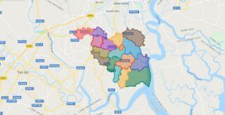
Political Map of Si Ma Cai district – Lao Cai Interactive online map of Si Ma Cai District. Source: Database of Global Administrative Areas, Global Map of Vietnam ©ISCGM, Ministry of Nutural Resources and Environment – Vietnam.Base Map Layer: Open Street Map (OSM), Arcgisonline, Google Map, Wmflabs. Large scale maps of Si Ma Cai District ... Read more
Map of all districts of Vietnam
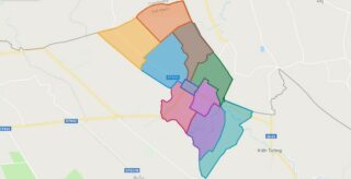
Political Map of Vinh Hung district – Long An Interactive online map of Vinh Hung District. Source: Database of Global Administrative Areas, Global Map of Vietnam ©ISCGM, Ministry of Nutural Resources and Environment – Vietnam.Base Map Layer: Open Street Map (OSM), Arcgisonline, Google Map, Wmflabs. Large scale maps of Vinh Hung District Vinh Hung location ... Read more
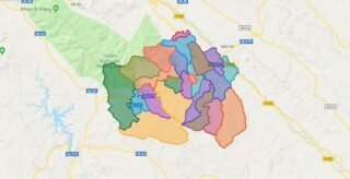
Political Map of Van Ban district – Lao Cai Interactive online map of Van Ban District. Source: Database of Global Administrative Areas, Global Map of Vietnam ©ISCGM, Ministry of Nutural Resources and Environment – Vietnam.Base Map Layer: Open Street Map (OSM), Arcgisonline, Google Map, Wmflabs. Large scale maps of Van Ban District Van Ban location ... Read more
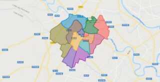
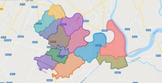
Political Map of Tan An city – Long An Interactive online map of Tan An City. Source: Database of Global Administrative Areas, Global Map of Vietnam ©ISCGM, Ministry of Nutural Resources and Environment – Vietnam.Base Map Layer: Open Street Map (OSM), Arcgisonline, Google Map, Wmflabs. Large scale maps of Tan An City Tan An location ... Read more
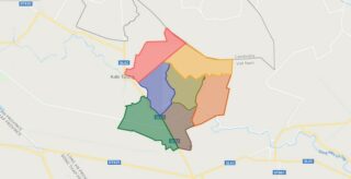
Political Map of Kien Tuong town – Long An Interactive online map of Kien Tuong Town. Source: Database of Global Administrative Areas, Global Map of Vietnam ©ISCGM, Ministry of Nutural Resources and Environment – Vietnam.Base Map Layer: Open Street Map (OSM), Arcgisonline, Google Map, Wmflabs. Large scale maps of Kien Tuong Town Kien Tuong location ... Read more
Political Map of Ben Luc district – Long An Interactive online map of Ben Luc District. Source: Database of Global Administrative Areas, Global Map of Vietnam ©ISCGM, Ministry of Nutural Resources and Environment – Vietnam.Base Map Layer: Open Street Map (OSM), Arcgisonline, Google Map, Wmflabs. Large scale maps of Ben Luc District Ben Luc location ... Read more
Political Map of Can Duoc district – Long An Interactive online map of Can Duoc District. Source: Database of Global Administrative Areas, Global Map of Vietnam ©ISCGM, Ministry of Nutural Resources and Environment – Vietnam.Base Map Layer: Open Street Map (OSM), Arcgisonline, Google Map, Wmflabs. Large scale maps of Can Duoc District Can Duoc location ... Read more
Political Map of Can Giuoc district – Long An Interactive online map of Can Giuoc District. Source: Database of Global Administrative Areas, Global Map of Vietnam ©ISCGM, Ministry of Nutural Resources and Environment – Vietnam.Base Map Layer: Open Street Map (OSM), Arcgisonline, Google Map, Wmflabs. Large scale maps of Can Giuoc District Can Giuoc location ... Read more
Political Map of Chau Thanh district – Long An Interactive online map of Chau Thanh District. Source: Database of Global Administrative Areas, Global Map of Vietnam ©ISCGM, Ministry of Nutural Resources and Environment – Vietnam.Base Map Layer: Open Street Map (OSM), Arcgisonline, Google Map, Wmflabs. Large scale maps of Chau Thanh District Chau Thanh location ... Read more
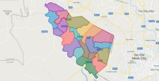
Political Map of Duc Hoa district – Long An Interactive online map of Duc Hoa District. Source: Database of Global Administrative Areas, Global Map of Vietnam ©ISCGM, Ministry of Nutural Resources and Environment – Vietnam.Base Map Layer: Open Street Map (OSM), Arcgisonline, Google Map, Wmflabs. Large scale maps of Duc Hoa District Duc Hoa location ... Read more
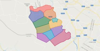
Political Map of Duc Hue district – Long An Interactive online map of Duc Hue District. Source: Database of Global Administrative Areas, Global Map of Vietnam ©ISCGM, Ministry of Nutural Resources and Environment – Vietnam.Base Map Layer: Open Street Map (OSM), Arcgisonline, Google Map, Wmflabs. Large scale maps of Duc Hue District Duc Hue location ... Read more
Political Map of Moc Hoa district – Long An Interactive online map of Moc Hoa District. Source: Database of Global Administrative Areas, Global Map of Vietnam ©ISCGM, Ministry of Nutural Resources and Environment – Vietnam.Base Map Layer: Open Street Map (OSM), Arcgisonline, Google Map, Wmflabs. Large scale maps of Moc Hoa District Moc Hoa location ... Read more
