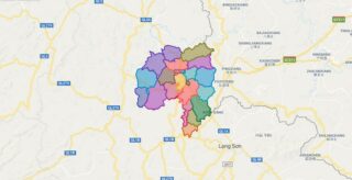
Political Map of Van Lang district – Lang Son Interactive online map of Van Lang District. Source: Database of Global Administrative Areas, Global Map of Vietnam ©ISCGM, Ministry of Nutural Resources and Environment – Vietnam.Base Map Layer: Open Street Map (OSM), Arcgisonline, Google Map, Wmflabs. Large scale maps of Van Lang District Van Lang location ... Read more
Map of all districts of Vietnam
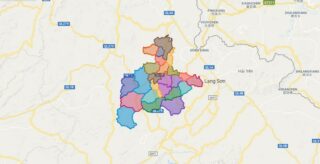
Political Map of Van Quan district – Lang Son Interactive online map of Van Quan District. Source: Database of Global Administrative Areas, Global Map of Vietnam ©ISCGM, Ministry of Nutural Resources and Environment – Vietnam.Base Map Layer: Open Street Map (OSM), Arcgisonline, Google Map, Wmflabs. Large scale maps of Van Quan District Van Quan location ... Read more
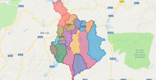
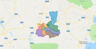
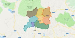
Political Map of Di Linh district – Lam Dong Interactive online map of Di Linh District. Source: Database of Global Administrative Areas, Global Map of Vietnam ©ISCGM, Ministry of Nutural Resources and Environment – Vietnam.Base Map Layer: Open Street Map (OSM), Arcgisonline, Google Map, Wmflabs. Large scale maps of Di Linh District Di Linh location ... Read more
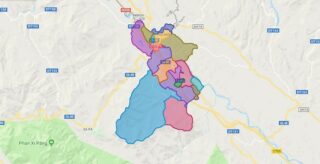
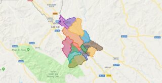
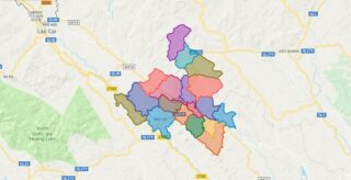
Political Map of Lao Cai city – Lao Cai Interactive online map of Lao Cai City. Source: Database of Global Administrative Areas, Global Map of Vietnam ©ISCGM, Ministry of Nutural Resources and Environment – Vietnam.Base Map Layer: Open Street Map (OSM), Arcgisonline, Google Map, Wmflabs. Large scale maps of Lao Cai City Lao Cai location ... Read more
Political Map of Don Duong district – Lam Dong Interactive online map of Don Duong District. Source: Database of Global Administrative Areas, Global Map of Vietnam ©ISCGM, Ministry of Nutural Resources and Environment – Vietnam.Base Map Layer: Open Street Map (OSM), Arcgisonline, Google Map, Wmflabs. Large scale maps of Don Duong District Don Duong location ... Read more
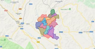
Political Map of Bac Ha district – Lao Cai Interactive online map of Bac Ha District. Source: Database of Global Administrative Areas, Global Map of Vietnam ©ISCGM, Ministry of Nutural Resources and Environment – Vietnam.Base Map Layer: Open Street Map (OSM), Arcgisonline, Google Map, Wmflabs. Large scale maps of Bac Ha District Bac Ha location ... Read more
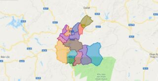
Political Map of Duc Trong district – Lam Dong Interactive online map of Duc Trong District. Source: Database of Global Administrative Areas, Global Map of Vietnam ©ISCGM, Ministry of Nutural Resources and Environment – Vietnam.Base Map Layer: Open Street Map (OSM), Arcgisonline, Google Map, Wmflabs. Large scale maps of Duc Trong District Duc Trong location ... Read more
Political Map of Bao Thang district – Lao Cai Interactive online map of Bao Thang District. Source: Database of Global Administrative Areas, Global Map of Vietnam ©ISCGM, Ministry of Nutural Resources and Environment – Vietnam.Base Map Layer: Open Street Map (OSM), Arcgisonline, Google Map, Wmflabs. Large scale maps of Bao Thang District Bao Thang location ... Read more
Political Map of Lac Duong district – Lam Dong Interactive online map of Lac Duong District. Source: Database of Global Administrative Areas, Global Map of Vietnam ©ISCGM, Ministry of Nutural Resources and Environment – Vietnam.Base Map Layer: Open Street Map (OSM), Arcgisonline, Google Map, Wmflabs. Large scale maps of Lac Duong District Lac Duong location ... Read more
Political Map of Bao Yen district – Lao Cai Interactive online map of Bao Yen District. Source: Database of Global Administrative Areas, Global Map of Vietnam ©ISCGM, Ministry of Nutural Resources and Environment – Vietnam.Base Map Layer: Open Street Map (OSM), Arcgisonline, Google Map, Wmflabs. Large scale maps of Bao Yen District Bao Yen location ... Read more
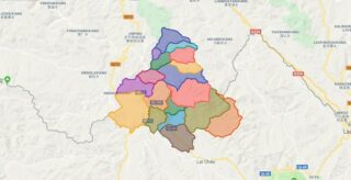
Political Map of Phong Tho district – Lai Chau Interactive online map of Phong Tho District. Source: Database of Global Administrative Areas, Global Map of Vietnam ©ISCGM, Ministry of Nutural Resources and Environment – Vietnam.Base Map Layer: Open Street Map (OSM), Arcgisonline, Google Map, Wmflabs. Large scale maps of Phong Tho District Phong Tho location ... Read more
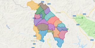
Political Map of Sin Ho district – Lai Chau Interactive online map of Sin Ho District. Source: Database of Global Administrative Areas, Global Map of Vietnam ©ISCGM, Ministry of Nutural Resources and Environment – Vietnam.Base Map Layer: Open Street Map (OSM), Arcgisonline, Google Map, Wmflabs. Large scale maps of Sin Ho District Sin Ho location ... Read more
