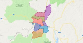
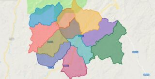
Political Map of Ngoc Hoi district – Kon Tum Interactive online map of Ngoc Hoi District. Source: Database of Global Administrative Areas, Global Map of Vietnam ©ISCGM, Ministry of Nutural Resources and Environment – Vietnam.Base Map Layer: Open Street Map (OSM), Arcgisonline, Google Map, Wmflabs. Large scale maps of Ngoc Hoi District Ngoc Hoi location ... Read more
Map of all districts of Vietnam
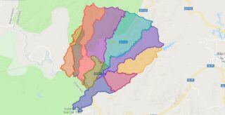
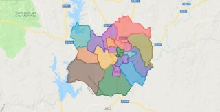
Political Map of Da Teh district – Lam Dong Interactive online map of Da Teh District. Source: Database of Global Administrative Areas, Global Map of Vietnam ©ISCGM, Ministry of Nutural Resources and Environment – Vietnam.Base Map Layer: Open Street Map (OSM), Arcgisonline, Google Map, Wmflabs. Large scale maps of Da Teh District Da Teh location ... Read more
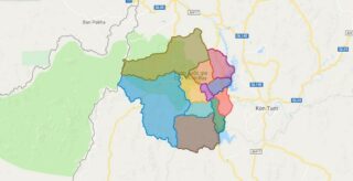
Political Map of Sa Thay district – Kon Tum Interactive online map of Sa Thay District. Source: Database of Global Administrative Areas, Global Map of Vietnam ©ISCGM, Ministry of Nutural Resources and Environment – Vietnam.Base Map Layer: Open Street Map (OSM), Arcgisonline, Google Map, Wmflabs. Large scale maps of Sa Thay District Sa Thay location ... Read more
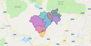
Political Map of Dam Rong district – Lam Dong Interactive online map of Dam Rong District. Source: Database of Global Administrative Areas, Global Map of Vietnam ©ISCGM, Ministry of Nutural Resources and Environment – Vietnam.Base Map Layer: Open Street Map (OSM), Arcgisonline, Google Map, Wmflabs. Large scale maps of Dam Rong District Dam Rong location ... Read more
Political Map of Tu Mo Rong district – Kon Tum Interactive online map of Tu Mo Rong District. Source: Database of Global Administrative Areas, Global Map of Vietnam ©ISCGM, Ministry of Nutural Resources and Environment – Vietnam.Base Map Layer: Open Street Map (OSM), Arcgisonline, Google Map, Wmflabs. Large scale maps of Tu Mo Rong District ... Read more
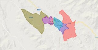
Political Map of Lai Chau city – Lai Chau Interactive online map of Lai Chau City. Source: Database of Global Administrative Areas, Global Map of Vietnam ©ISCGM, Ministry of Nutural Resources and Environment – Vietnam.Base Map Layer: Open Street Map (OSM), Arcgisonline, Google Map, Wmflabs. Large scale maps of Lai Chau City Lai Chau location ... Read more
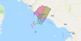
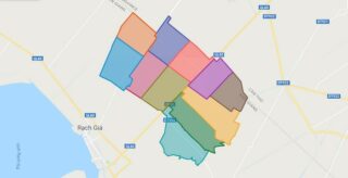
Political Map of Kien Luong district – Kien Giang Interactive online map of Kien Luong District. Source: Database of Global Administrative Areas, Global Map of Vietnam ©ISCGM, Ministry of Nutural Resources and Environment – Vietnam.Base Map Layer: Open Street Map (OSM), Arcgisonline, Google Map, Wmflabs. Large scale maps of Kien Luong District Kien Luong location ... Read more
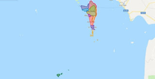
Political Map of Phu Quoc district – Kien Giang Interactive online map of Phu Quoc District. Source: Database of Global Administrative Areas, Global Map of Vietnam ©ISCGM, Ministry of Nutural Resources and Environment – Vietnam.Base Map Layer: Open Street Map (OSM), Arcgisonline, Google Map, Wmflabs. Large scale maps of Phu Quoc District Phu Quoc location ... Read more
Political Map of Tan Hiep district – Kien Giang Interactive online map of Tan Hiep District. Source: Database of Global Administrative Areas, Global Map of Vietnam ©ISCGM, Ministry of Nutural Resources and Environment – Vietnam.Base Map Layer: Open Street Map (OSM), Arcgisonline, Google Map, Wmflabs. Large scale maps of Tan Hiep District Tan Hiep location ... Read more
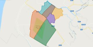
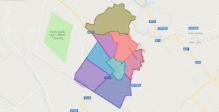
Political Map of U Minh Thuong district – Kien Giang Interactive online map of U Minh Thuong District. Source: Database of Global Administrative Areas, Global Map of Vietnam ©ISCGM, Ministry of Nutural Resources and Environment – Vietnam.Base Map Layer: Open Street Map (OSM), Arcgisonline, Google Map, Wmflabs. Large scale maps of U Minh Thuong District ... Read more
Political Map of Vinh Thuan district – Kien Giang Interactive online map of Vinh Thuan District. Source: Database of Global Administrative Areas, Global Map of Vietnam ©ISCGM, Ministry of Nutural Resources and Environment – Vietnam.Base Map Layer: Open Street Map (OSM), Arcgisonline, Google Map, Wmflabs. Large scale maps of Vinh Thuan District Vinh Thuan location ... Read more
Political Map of Kon Tum city – Kon Tum Interactive online map of Kon Tum City. Source: Database of Global Administrative Areas, Global Map of Vietnam ©ISCGM, Ministry of Nutural Resources and Environment – Vietnam.Base Map Layer: Open Street Map (OSM), Arcgisonline, Google Map, Wmflabs. Large scale maps of Kon Tum City Kon Tum location ... Read more
