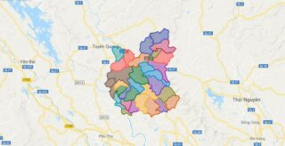
Political Map of Son Duong district – Tuyen Quang Interactive online map of Son Duong District. Source: Database of Global Administrative Areas, Global Map of Vietnam ©ISCGM, Ministry of Nutural Resources and Environment – Vietnam.Base Map Layer: Open Street Map (OSM), Arcgisonline, Google Map, Wmflabs. Large scale maps of Son Duong District Son Duong location ... Read more
Map of all districts of Vietnam
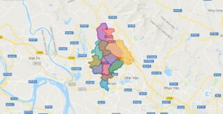
Political Map of Tam Duong district – Vinh Phuc Interactive online map of Tam Duong District. Source: Database of Global Administrative Areas, Global Map of Vietnam ©ISCGM, Ministry of Nutural Resources and Environment – Vietnam.Base Map Layer: Open Street Map (OSM), Arcgisonline, Google Map, Wmflabs. Large scale maps of Tam Duong District Tam Duong location ... Read more
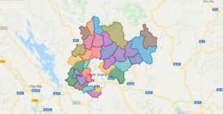
Political Map of Yen Son district – Tuyen Quang Interactive online map of Yen Son District. Source: Database of Global Administrative Areas, Global Map of Vietnam ©ISCGM, Ministry of Nutural Resources and Environment – Vietnam.Base Map Layer: Open Street Map (OSM), Arcgisonline, Google Map, Wmflabs. Large scale maps of Yen Son District Yen Son location ... Read more
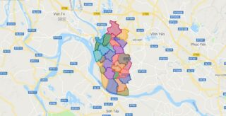
Political Map of Vinh Tuong district – Vinh Phuc Interactive online map of Vinh Tuong District. Source: Database of Global Administrative Areas, Global Map of Vietnam ©ISCGM, Ministry of Nutural Resources and Environment – Vietnam.Base Map Layer: Open Street Map (OSM), Arcgisonline, Google Map, Wmflabs. Large scale maps of Vinh Tuong District Vinh Tuong location ... Read more
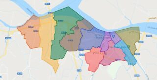
Political Map of Vinh Long city – Vinh Long Interactive online map of Vinh Long City. Source: Database of Global Administrative Areas, Global Map of Vietnam ©ISCGM, Ministry of Nutural Resources and Environment – Vietnam.Base Map Layer: Open Street Map (OSM), Arcgisonline, Google Map, Wmflabs. Large scale maps of Vinh Long City Vinh Long location ... Read more
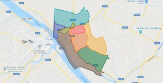
Political Map of Binh Minh town – Vinh Long Interactive online map of Binh Minh Town. Source: Database of Global Administrative Areas, Global Map of Vietnam ©ISCGM, Ministry of Nutural Resources and Environment – Vietnam.Base Map Layer: Open Street Map (OSM), Arcgisonline, Google Map, Wmflabs. Large scale maps of Binh Minh Town Binh Minh location ... Read more
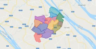
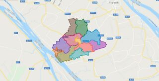
Political Map of Cang Long district – Tra Vinh Interactive online map of Cang Long District. Source: Database of Global Administrative Areas, Global Map of Vietnam ©ISCGM, Ministry of Nutural Resources and Environment – Vietnam.Base Map Layer: Open Street Map (OSM), Arcgisonline, Google Map, Wmflabs. Large scale maps of Cang Long District Cang Long location ... Read more
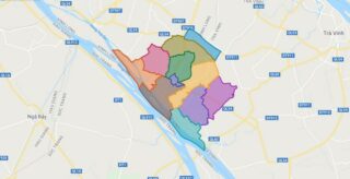
Political Map of Cau Ke district – Tra Vinh Interactive online map of Cau Ke District. Source: Database of Global Administrative Areas, Global Map of Vietnam ©ISCGM, Ministry of Nutural Resources and Environment – Vietnam.Base Map Layer: Open Street Map (OSM), Arcgisonline, Google Map, Wmflabs. Large scale maps of Cau Ke District Cau Ke location ... Read more
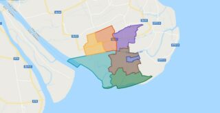
Political Map of Cau Ngang district – Tra Vinh Interactive online map of Cau Ngang District. Source: Database of Global Administrative Areas, Global Map of Vietnam ©ISCGM, Ministry of Nutural Resources and Environment – Vietnam.Base Map Layer: Open Street Map (OSM), Arcgisonline, Google Map, Wmflabs. Large scale maps of Cau Ngang District Cau Ngang location ... Read more
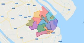
Political Map of Chau Thanh district – Tra Vinh Interactive online map of Chau Thanh District. Source: Database of Global Administrative Areas, Global Map of Vietnam ©ISCGM, Ministry of Nutural Resources and Environment – Vietnam.Base Map Layer: Open Street Map (OSM), Arcgisonline, Google Map, Wmflabs. Large scale maps of Chau Thanh District Chau Thanh location ... Read more
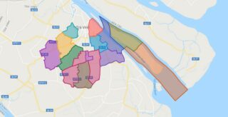
Political Map of Duyen Hai district – Tra Vinh Interactive online map of Duyen Hai District. Source: Database of Global Administrative Areas, Global Map of Vietnam ©ISCGM, Ministry of Nutural Resources and Environment – Vietnam.Base Map Layer: Open Street Map (OSM), Arcgisonline, Google Map, Wmflabs. Large scale maps of Duyen Hai District Duyen Hai location ... Read more
Political Map of Tieu Can district – Tra Vinh Interactive online map of Tieu Can District. Source: Database of Global Administrative Areas, Global Map of Vietnam ©ISCGM, Ministry of Nutural Resources and Environment – Vietnam.Base Map Layer: Open Street Map (OSM), Arcgisonline, Google Map, Wmflabs. Large scale maps of Tieu Can District Tieu Can location ... Read more
