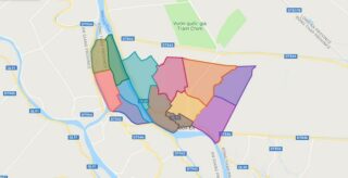
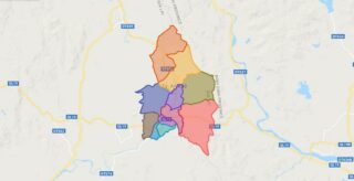
Political Map of Thanh Binh district – Dong Thap Interactive online map of Thanh Binh District. Source: Database of Global Administrative Areas, Global Map of Vietnam ©ISCGM, Ministry of Nutural Resources and Environment – Vietnam.Base Map Layer: Open Street Map (OSM), Arcgisonline, Google Map, Wmflabs. Large scale maps of Thanh Binh District Thanh Binh location ... Read more
Map of all districts of Vietnam
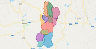
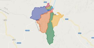
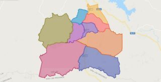
Political Map of Krong Pa district – Gia Lai Interactive online map of Krong Pa District. Source: Database of Global Administrative Areas, Global Map of Vietnam ©ISCGM, Ministry of Nutural Resources and Environment – Vietnam.Base Map Layer: Open Street Map (OSM), Arcgisonline, Google Map, Wmflabs. Large scale maps of Krong Pa District Krong Pa location ... Read more
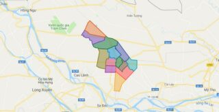
Political Map of Thap Muoi district – Dong Thap Interactive online map of Thap Muoi District. Source: Database of Global Administrative Areas, Global Map of Vietnam ©ISCGM, Ministry of Nutural Resources and Environment – Vietnam.Base Map Layer: Open Street Map (OSM), Arcgisonline, Google Map, Wmflabs. Large scale maps of Thap Muoi District Thap Muoi location ... Read more
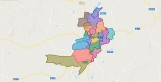
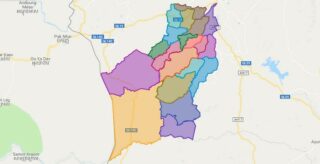
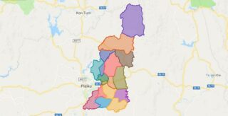
Political Map of Mang Yang district – Gia Lai Interactive online map of Mang Yang District. Source: Database of Global Administrative Areas, Global Map of Vietnam ©ISCGM, Ministry of Nutural Resources and Environment – Vietnam.Base Map Layer: Open Street Map (OSM), Arcgisonline, Google Map, Wmflabs. Large scale maps of Mang Yang District Mang Yang location ... Read more
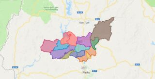
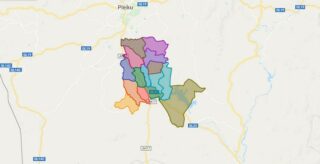
Political Map of Pleiku city – Gia Lai Interactive online map of Pleiku City. Source: Database of Global Administrative Areas, Global Map of Vietnam ©ISCGM, Ministry of Nutural Resources and Environment – Vietnam.Base Map Layer: Open Street Map (OSM), Arcgisonline, Google Map, Wmflabs. Large scale maps of Pleiku City Pleiku location map Pleiku street map ... Read more
Political Map of An Khe town – Gia Lai Interactive online map of An Khe Town. Source: Database of Global Administrative Areas, Global Map of Vietnam ©ISCGM, Ministry of Nutural Resources and Environment – Vietnam.Base Map Layer: Open Street Map (OSM), Arcgisonline, Google Map, Wmflabs. Large scale maps of An Khe Town An Khe location ... Read more
Political Map of Ayun Pa town – Gia Lai Interactive online map of Ayun Pa Town. Source: Database of Global Administrative Areas, Global Map of Vietnam ©ISCGM, Ministry of Nutural Resources and Environment – Vietnam.Base Map Layer: Open Street Map (OSM), Arcgisonline, Google Map, Wmflabs. Large scale maps of Ayun Pa Town Ayun Pa location ... Read more
Political Map of Chu Pah district – Gia Lai Interactive online map of Chu Pah District. Source: Database of Global Administrative Areas, Global Map of Vietnam ©ISCGM, Ministry of Nutural Resources and Environment – Vietnam.Base Map Layer: Open Street Map (OSM), Arcgisonline, Google Map, Wmflabs. Large scale maps of Chu Pah District Chu Pah location ... Read more
Political Map of Chu Prong district – Gia Lai Interactive online map of Chu Prong District. Source: Database of Global Administrative Areas, Global Map of Vietnam ©ISCGM, Ministry of Nutural Resources and Environment – Vietnam.Base Map Layer: Open Street Map (OSM), Arcgisonline, Google Map, Wmflabs. Large scale maps of Chu Prong District Chu Prong location ... Read more
Political Map of Chu Puh district – Gia Lai Interactive online map of Chu Puh District. Source: Database of Global Administrative Areas, Global Map of Vietnam ©ISCGM, Ministry of Nutural Resources and Environment – Vietnam.Base Map Layer: Open Street Map (OSM), Arcgisonline, Google Map, Wmflabs. Large scale maps of Chu Puh District Chu Puh location ... Read more
Political Map of Chu Se district – Gia Lai Interactive online map of Chu Se District. Source: Database of Global Administrative Areas, Global Map of Vietnam ©ISCGM, Ministry of Nutural Resources and Environment – Vietnam.Base Map Layer: Open Street Map (OSM), Arcgisonline, Google Map, Wmflabs. Large scale maps of Chu Se District Chu Se location ... Read more
Political Map of Dak Doa district – Gia Lai Interactive online map of Dak Doa District. Source: Database of Global Administrative Areas, Global Map of Vietnam ©ISCGM, Ministry of Nutural Resources and Environment – Vietnam.Base Map Layer: Open Street Map (OSM), Arcgisonline, Google Map, Wmflabs. Large scale maps of Dak Doa District Dak Doa location ... Read more
