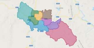
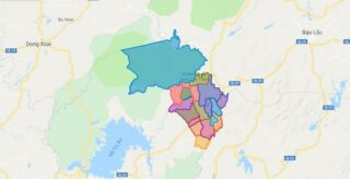
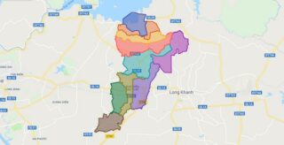
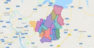
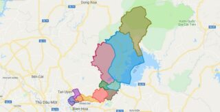
Political Map of Dak Po district – Gia Lai Interactive online map of Dak Po District. Source: Database of Global Administrative Areas, Global Map of Vietnam ©ISCGM, Ministry of Nutural Resources and Environment – Vietnam.Base Map Layer: Open Street Map (OSM), Arcgisonline, Google Map, Wmflabs. Large scale maps of Dak Po District Dak Po location ... Read more
Map of all districts of Vietnam
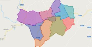
Political Map of Duc Co district – Gia Lai Interactive online map of Duc Co District. Source: Database of Global Administrative Areas, Global Map of Vietnam ©ISCGM, Ministry of Nutural Resources and Environment – Vietnam.Base Map Layer: Open Street Map (OSM), Arcgisonline, Google Map, Wmflabs. Large scale maps of Duc Co District Duc Co location ... Read more
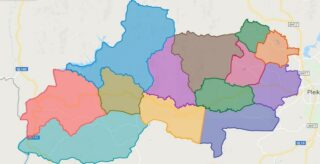
Political Map of Ia Grai district – Gia Lai Interactive online map of Ia Grai District. Source: Database of Global Administrative Areas, Global Map of Vietnam ©ISCGM, Ministry of Nutural Resources and Environment – Vietnam.Base Map Layer: Open Street Map (OSM), Arcgisonline, Google Map, Wmflabs. Large scale maps of Ia Grai District Ia Grai location ... Read more
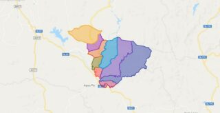
Political Map of Ia Pa district – Gia Lai Interactive online map of Ia Pa District. Source: Database of Global Administrative Areas, Global Map of Vietnam ©ISCGM, Ministry of Nutural Resources and Environment – Vietnam.Base Map Layer: Open Street Map (OSM), Arcgisonline, Google Map, Wmflabs. Large scale maps of Ia Pa District Ia Pa location ... Read more
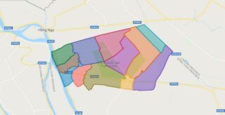
Political Map of Tam Nong district – Dong Thap Interactive online map of Tam Nong District. Source: Database of Global Administrative Areas, Global Map of Vietnam ©ISCGM, Ministry of Nutural Resources and Environment – Vietnam.Base Map Layer: Open Street Map (OSM), Arcgisonline, Google Map, Wmflabs. Large scale maps of Tam Nong District Tam Nong location ... Read more
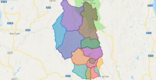
Political Map of KBang district – Gia Lai Interactive online map of KBang District. Source: Database of Global Administrative Areas, Global Map of Vietnam ©ISCGM, Ministry of Nutural Resources and Environment – Vietnam.Base Map Layer: Open Street Map (OSM), Arcgisonline, Google Map, Wmflabs. Large scale maps of KBang District KBang location map KBang street map ... Read more
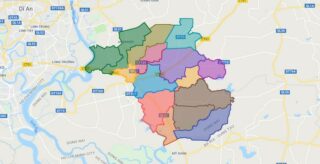
Political Map of Long Thanh district – Dong Nai Interactive online map of Long Thanh District. Source: Database of Global Administrative Areas, Global Map of Vietnam ©ISCGM, Ministry of Nutural Resources and Environment – Vietnam.Base Map Layer: Open Street Map (OSM), Arcgisonline, Google Map, Wmflabs. Large scale maps of Long Thanh District Long Thanh location ... Read more
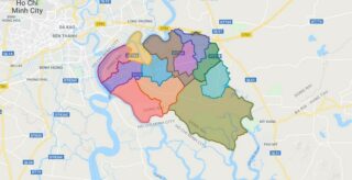
Political Map of Nhon Trach district – Dong Nai Interactive online map of Nhon Trach District. Source: Database of Global Administrative Areas, Global Map of Vietnam ©ISCGM, Ministry of Nutural Resources and Environment – Vietnam.Base Map Layer: Open Street Map (OSM), Arcgisonline, Google Map, Wmflabs. Large scale maps of Nhon Trach District Nhon Trach location ... Read more
Political Map of Tan Phu district – Dong Nai Interactive online map of Tan Phu District. Source: Database of Global Administrative Areas, Global Map of Vietnam ©ISCGM, Ministry of Nutural Resources and Environment – Vietnam.Base Map Layer: Open Street Map (OSM), Arcgisonline, Google Map, Wmflabs. Large scale maps of Tan Phu District Tan Phu location ... Read more
Political Map of Thong Nhat district – Dong Nai Interactive online map of Thong Nhat District. Source: Database of Global Administrative Areas, Global Map of Vietnam ©ISCGM, Ministry of Nutural Resources and Environment – Vietnam.Base Map Layer: Open Street Map (OSM), Arcgisonline, Google Map, Wmflabs. Large scale maps of Thong Nhat District Thong Nhat location ... Read more
Political Map of Trang Bom district – Dong Nai Interactive online map of Trang Bom District. Source: Database of Global Administrative Areas, Global Map of Vietnam ©ISCGM, Ministry of Nutural Resources and Environment – Vietnam.Base Map Layer: Open Street Map (OSM), Arcgisonline, Google Map, Wmflabs. Large scale maps of Trang Bom District Trang Bom location ... Read more
Political Map of Vinh Cuu district – Dong Nai Interactive online map of Vinh Cuu District. Source: Database of Global Administrative Areas, Global Map of Vietnam ©ISCGM, Ministry of Nutural Resources and Environment – Vietnam.Base Map Layer: Open Street Map (OSM), Arcgisonline, Google Map, Wmflabs. Large scale maps of Vinh Cuu District Vinh Cuu location ... Read more
