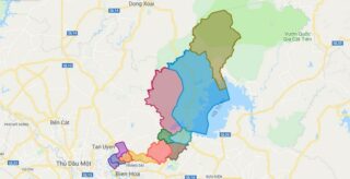
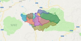
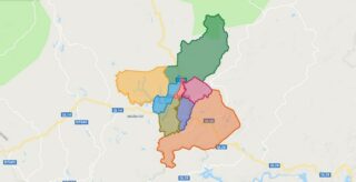
Political Map of Vinh Cuu district – Dong Nai Interactive online map of Vinh Cuu District. Source: Database of Global Administrative Areas, Global Map of Vietnam ©ISCGM, Ministry of Nutural Resources and Environment – Vietnam.Base Map Layer: Open Street Map (OSM), Arcgisonline, Google Map, Wmflabs. Large scale maps of Vinh Cuu District Vinh Cuu location ... Read more
Map of all districts of Vietnam
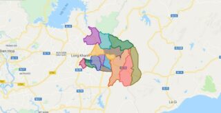
Political Map of Xuan Loc district – Dong Nai Interactive online map of Xuan Loc District. Source: Database of Global Administrative Areas, Global Map of Vietnam ©ISCGM, Ministry of Nutural Resources and Environment – Vietnam.Base Map Layer: Open Street Map (OSM), Arcgisonline, Google Map, Wmflabs. Large scale maps of Xuan Loc District Xuan Loc location ... Read more
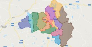
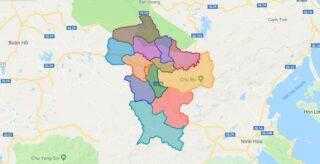
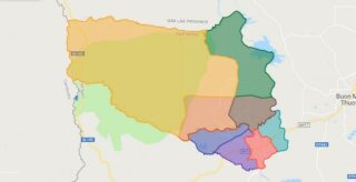
Political Map of Krong Pac district – Dak Lak Interactive online map of Krong Pac District. Source: Database of Global Administrative Areas, Global Map of Vietnam ©ISCGM, Ministry of Nutural Resources and Environment – Vietnam.Base Map Layer: Open Street Map (OSM), Arcgisonline, Google Map, Wmflabs. Large scale maps of Krong Pac District Krong Pac location ... Read more
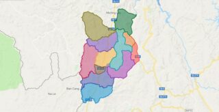
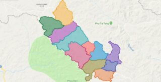
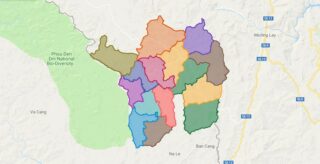
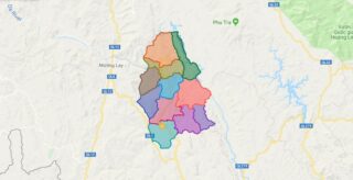
Political Map of Muong Cha district – Dien Bien Interactive online map of Muong Cha District. Source: Database of Global Administrative Areas, Global Map of Vietnam ©ISCGM, Ministry of Nutural Resources and Environment – Vietnam.Base Map Layer: Open Street Map (OSM), Arcgisonline, Google Map, Wmflabs. Large scale maps of Muong Cha District Muong Cha location ... Read more
Political Map of Lak district – Dak Lak Interactive online map of Lak District. Source: Database of Global Administrative Areas, Global Map of Vietnam ©ISCGM, Ministry of Nutural Resources and Environment – Vietnam.Base Map Layer: Open Street Map (OSM), Arcgisonline, Google Map, Wmflabs. Large scale maps of Lak District Lak location map Lak street map ... Read more
Political Map of Muong Nhe district – Dien Bien Interactive online map of Muong Nhe District. Source: Database of Global Administrative Areas, Global Map of Vietnam ©ISCGM, Ministry of Nutural Resources and Environment – Vietnam.Base Map Layer: Open Street Map (OSM), Arcgisonline, Google Map, Wmflabs. Large scale maps of Muong Nhe District Muong Nhe location ... Read more
Political Map of M’Drak district – Dak Lak Interactive online map of M’Drak District. Source: Database of Global Administrative Areas, Global Map of Vietnam ©ISCGM, Ministry of Nutural Resources and Environment – Vietnam.Base Map Layer: Open Street Map (OSM), Arcgisonline, Google Map, Wmflabs. Large scale maps of M’Drak District M’Drak location map M’Drak street map ... Read more
Political Map of Nam Po district – Dien Bien Interactive online map of Nam Po District. Source: Database of Global Administrative Areas, Global Map of Vietnam ©ISCGM, Ministry of Nutural Resources and Environment – Vietnam.Base Map Layer: Open Street Map (OSM), Arcgisonline, Google Map, Wmflabs. Large scale maps of Nam Po District Nam Po location ... Read more
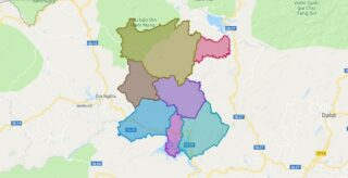
Political Map of Gia Nghia town – Dak Nong Interactive online map of Gia Nghia Town. Source: Database of Global Administrative Areas, Global Map of Vietnam ©ISCGM, Ministry of Nutural Resources and Environment – Vietnam.Base Map Layer: Open Street Map (OSM), Arcgisonline, Google Map, Wmflabs. Large scale maps of Gia Nghia Town Gia Nghia location ... Read more
Political Map of Tua Chua district – Dien Bien Interactive online map of Tua Chua District. Source: Database of Global Administrative Areas, Global Map of Vietnam ©ISCGM, Ministry of Nutural Resources and Environment – Vietnam.Base Map Layer: Open Street Map (OSM), Arcgisonline, Google Map, Wmflabs. Large scale maps of Tua Chua District Tua Chua location ... Read more
Political Map of Cu Jut district – Dak Nong Interactive online map of Cu Jut District. Source: Database of Global Administrative Areas, Global Map of Vietnam ©ISCGM, Ministry of Nutural Resources and Environment – Vietnam.Base Map Layer: Open Street Map (OSM), Arcgisonline, Google Map, Wmflabs. Large scale maps of Cu Jut District Cu Jut location ... Read more
Political Map of Dak Glong district – Dak Nong Interactive online map of Dak Glong District. Source: Database of Global Administrative Areas, Global Map of Vietnam ©ISCGM, Ministry of Nutural Resources and Environment – Vietnam.Base Map Layer: Open Street Map (OSM), Arcgisonline, Google Map, Wmflabs. Large scale maps of Dak Glong District Dak Glong location ... Read more
