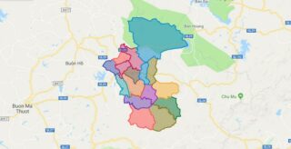
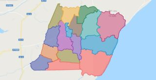
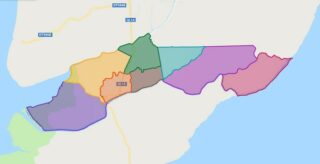
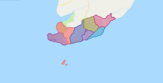
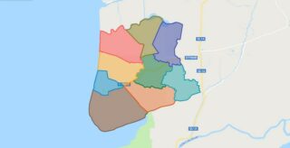
Political Map of Ea Kar district – Dak Lak Interactive online map of Ea Kar District. Source: Database of Global Administrative Areas, Global Map of Vietnam ©ISCGM, Ministry of Nutural Resources and Environment – Vietnam.Base Map Layer: Open Street Map (OSM), Arcgisonline, Google Map, Wmflabs. Large scale maps of Ea Kar District Ea Kar location ... Read more
Map of all districts of Vietnam
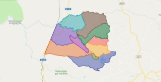
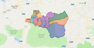
Political Map of Ea Sup district – Dak Lak Interactive online map of Ea Sup District. Source: Database of Global Administrative Areas, Global Map of Vietnam ©ISCGM, Ministry of Nutural Resources and Environment – Vietnam.Base Map Layer: Open Street Map (OSM), Arcgisonline, Google Map, Wmflabs. Large scale maps of Ea Sup District Ea Sup location ... Read more
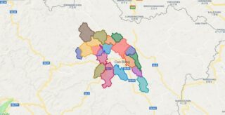
Political Map of Hoa An district – Cao Bang Interactive online map of Hoa An District. Source: Database of Global Administrative Areas, Global Map of Vietnam ©ISCGM, Ministry of Nutural Resources and Environment – Vietnam.Base Map Layer: Open Street Map (OSM), Arcgisonline, Google Map, Wmflabs. Large scale maps of Hoa An District Hoa An location ... Read more
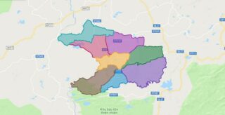
Political Map of Krong A Na district – Dak Lak Interactive online map of Krong A Na District. Source: Database of Global Administrative Areas, Global Map of Vietnam ©ISCGM, Ministry of Nutural Resources and Environment – Vietnam.Base Map Layer: Open Street Map (OSM), Arcgisonline, Google Map, Wmflabs. Large scale maps of Krong A Na District ... Read more
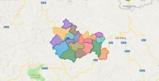
Political Map of Nguyen Binh district – Cao Bang Interactive online map of Nguyen Binh District. Source: Database of Global Administrative Areas, Global Map of Vietnam ©ISCGM, Ministry of Nutural Resources and Environment – Vietnam.Base Map Layer: Open Street Map (OSM), Arcgisonline, Google Map, Wmflabs. Large scale maps of Nguyen Binh District Nguyen Binh location ... Read more
Political Map of Krong Bong district – Dak Lak Interactive online map of Krong Bong District. Source: Database of Global Administrative Areas, Global Map of Vietnam ©ISCGM, Ministry of Nutural Resources and Environment – Vietnam.Base Map Layer: Open Street Map (OSM), Arcgisonline, Google Map, Wmflabs. Large scale maps of Krong Bong District Krong Bong location ... Read more
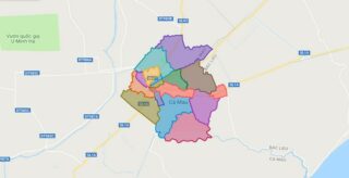
Political Map of Ca Mau city – Ca Mau Interactive online map of Ca Mau City. Source: Database of Global Administrative Areas, Global Map of Vietnam ©ISCGM, Ministry of Nutural Resources and Environment – Vietnam.Base Map Layer: Open Street Map (OSM), Arcgisonline, Google Map, Wmflabs. Large scale maps of Ca Mau City Ca Mau location ... Read more
Political Map of Cai Nuoc district – Ca Mau Interactive online map of Cai Nuoc District. Source: Database of Global Administrative Areas, Global Map of Vietnam ©ISCGM, Ministry of Nutural Resources and Environment – Vietnam.Base Map Layer: Open Street Map (OSM), Arcgisonline, Google Map, Wmflabs. Large scale maps of Cai Nuoc District Cai Nuoc location ... Read more
Political Map of Dam Doi district – Ca Mau Interactive online map of Dam Doi District. Source: Database of Global Administrative Areas, Global Map of Vietnam ©ISCGM, Ministry of Nutural Resources and Environment – Vietnam.Base Map Layer: Open Street Map (OSM), Arcgisonline, Google Map, Wmflabs. Large scale maps of Dam Doi District Dam Doi location ... Read more
Political Map of Nam Can district – Ca Mau Interactive online map of Nam Can District. Source: Database of Global Administrative Areas, Global Map of Vietnam ©ISCGM, Ministry of Nutural Resources and Environment – Vietnam.Base Map Layer: Open Street Map (OSM), Arcgisonline, Google Map, Wmflabs. Large scale maps of Nam Can District Nam Can location ... Read more
Political Map of Ngoc Hien district – Ca Mau Interactive online map of Ngoc Hien District. Source: Database of Global Administrative Areas, Global Map of Vietnam ©ISCGM, Ministry of Nutural Resources and Environment – Vietnam.Base Map Layer: Open Street Map (OSM), Arcgisonline, Google Map, Wmflabs. Large scale maps of Ngoc Hien District Ngoc Hien location ... Read more
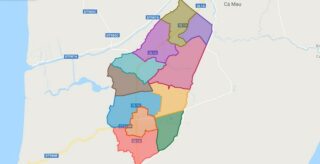
Political Map of Phu Tan district – Ca Mau Interactive online map of Phu Tan District. Source: Database of Global Administrative Areas, Global Map of Vietnam ©ISCGM, Ministry of Nutural Resources and Environment – Vietnam.Base Map Layer: Open Street Map (OSM), Arcgisonline, Google Map, Wmflabs. Large scale maps of Phu Tan District Phu Tan location ... Read more
