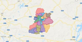
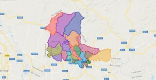
Political Map of Son Dong district – Bac Giang Interactive online map of Son Dong District. Source: Database of Global Administrative Areas, Global Map of Vietnam ©ISCGM, Ministry of Nutural Resources and Environment – Vietnam.Base Map Layer: Open Street Map (OSM), Arcgisonline, Google Map, Wmflabs. Large scale maps of Son Dong District Son Dong location ... Read more
Map of all districts of Vietnam
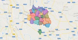
Political Map of Tan Yen district – Bac Giang Interactive online map of Tan Yen District. Source: Database of Global Administrative Areas, Global Map of Vietnam ©ISCGM, Ministry of Nutural Resources and Environment – Vietnam.Base Map Layer: Open Street Map (OSM), Arcgisonline, Google Map, Wmflabs. Large scale maps of Tan Yen District Tan Yen location ... Read more
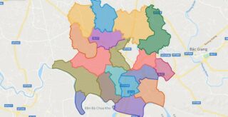
Political Map of Viet Yen district – Bac Giang Interactive online map of Viet Yen District. Source: Database of Global Administrative Areas, Global Map of Vietnam ©ISCGM, Ministry of Nutural Resources and Environment – Vietnam.Base Map Layer: Open Street Map (OSM), Arcgisonline, Google Map, Wmflabs. Large scale maps of Viet Yen District Viet Yen location ... Read more
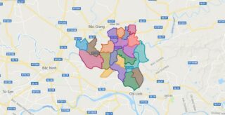
Political Map of Yen Dung district – Bac Giang Interactive online map of Yen Dung District. Source: Database of Global Administrative Areas, Global Map of Vietnam ©ISCGM, Ministry of Nutural Resources and Environment – Vietnam.Base Map Layer: Open Street Map (OSM), Arcgisonline, Google Map, Wmflabs. Large scale maps of Yen Dung District Yen Dung location ... Read more
Political Map of Yen The district – Bac Giang Interactive online map of Yen The District. Source: Database of Global Administrative Areas, Global Map of Vietnam ©ISCGM, Ministry of Nutural Resources and Environment – Vietnam.Base Map Layer: Open Street Map (OSM), Arcgisonline, Google Map, Wmflabs. Large scale maps of Yen The District Yen The location ... Read more
Political Map of Bac Kan city – Bac Kan Interactive online map of Bac Kan City. Source: Database of Global Administrative Areas, Global Map of Vietnam ©ISCGM, Ministry of Nutural Resources and Environment – Vietnam.Base Map Layer: Open Street Map (OSM), Arcgisonline, Google Map, Wmflabs. Large scale maps of Bac Kan City Bac Kan location ... Read more
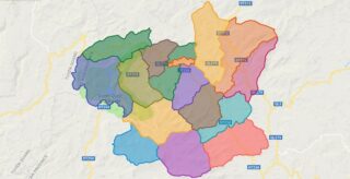
Political Map of Ba Be district – Bac Kan Interactive online map of Ba Be District. Source: Database of Global Administrative Areas, Global Map of Vietnam ©ISCGM, Ministry of Nutural Resources and Environment – Vietnam.Base Map Layer: Open Street Map (OSM), Arcgisonline, Google Map, Wmflabs. Large scale maps of Ba Be District Ba Be location ... Read more
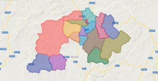
Political Map of Bach Thong district – Bac Kan Interactive online map of Bach Thong District. Source: Database of Global Administrative Areas, Global Map of Vietnam ©ISCGM, Ministry of Nutural Resources and Environment – Vietnam.Base Map Layer: Open Street Map (OSM), Arcgisonline, Google Map, Wmflabs. Large scale maps of Bach Thong District Bach Thong location ... Read more
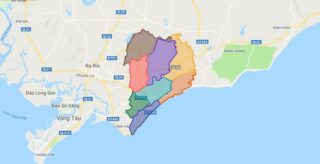
Political Map of Dat Do district – Ba Ria Vung Tau Interactive online map of Dat Do District. Source: Database of Global Administrative Areas, Global Map of Vietnam ©ISCGM, Ministry of Nutural Resources and Environment – Vietnam.Base Map Layer: Open Street Map (OSM), Arcgisonline, Google Map, Wmflabs. Large scale maps of Dat Do District Dat ... Read more
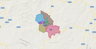
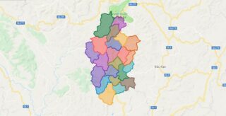
Political Map of Cho Don district – Bac Kan Interactive online map of Cho Don District. Source: Database of Global Administrative Areas, Global Map of Vietnam ©ISCGM, Ministry of Nutural Resources and Environment – Vietnam.Base Map Layer: Open Street Map (OSM), Arcgisonline, Google Map, Wmflabs. Large scale maps of Cho Don District Cho Don location ... Read more
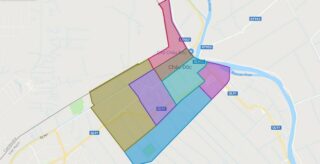
Political Map of Chau Doc city – An Giang Interactive online map of Chau Doc City. Source: Database of Global Administrative Areas, Global Map of Vietnam ©ISCGM, Ministry of Nutural Resources and Environment – Vietnam.Base Map Layer: Open Street Map (OSM), Arcgisonline, Google Map, Wmflabs. Large scale maps of Chau Doc City Chau Doc location ... Read more
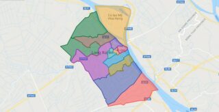
Political Map of Long Xuyen city – An Giang Interactive online map of Long Xuyen City. Source: Database of Global Administrative Areas, Global Map of Vietnam ©ISCGM, Ministry of Nutural Resources and Environment – Vietnam.Base Map Layer: Open Street Map (OSM), Arcgisonline, Google Map, Wmflabs. Large scale maps of Long Xuyen City Long Xuyen location ... Read more
