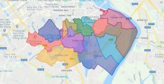
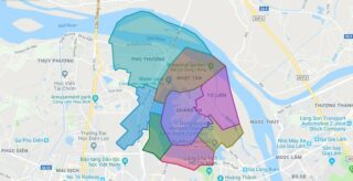
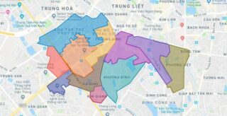
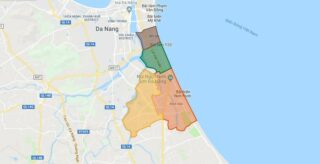
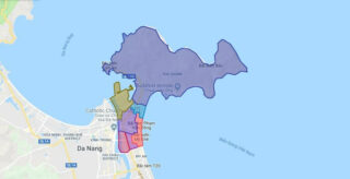
Political Map of Hoang Mai district – Ha Noi Interactive online map of Hoang Mai Urban District. Source: Database of Global Administrative Areas, Global Map of Vietnam ©ISCGM, Ministry of Nutural Resources and Environment – Vietnam.Base Map Layer: Open Street Map (OSM), Arcgisonline, Google Map, Wmflabs. Large scale maps of Hoang Mai Urban District Hoang ... Read more
Map of all districts of Vietnam
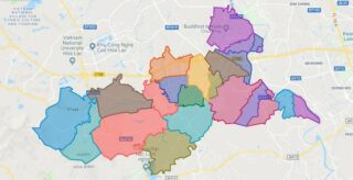
Political Map of Quoc Oai district – Ha Noi Interactive online map of Quoc Oai District. Source: Database of Global Administrative Areas, Global Map of Vietnam ©ISCGM, Ministry of Nutural Resources and Environment – Vietnam.Base Map Layer: Open Street Map (OSM), Arcgisonline, Google Map, Wmflabs. Large scale maps of Quoc Oai District Quoc Oai location ... Read more
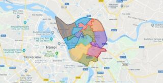
Political Map of Long Bien district – Ha Noi Interactive online map of Long Bien Urban District. Source: Database of Global Administrative Areas, Global Map of Vietnam ©ISCGM, Ministry of Nutural Resources and Environment – Vietnam.Base Map Layer: Open Street Map (OSM), Arcgisonline, Google Map, Wmflabs. Large scale maps of Long Bien Urban District Long ... Read more
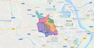
Political Map of Nam Tu Liem district – Ha Noi Interactive online map of Nam Tu Liem Urban District. Source: Database of Global Administrative Areas, Global Map of Vietnam ©ISCGM, Ministry of Nutural Resources and Environment – Vietnam.Base Map Layer: Open Street Map (OSM), Arcgisonline, Google Map, Wmflabs. Large scale maps of Nam Tu Liem ... Read more
Political Map of Tay Ho district – Ha Noi Interactive online map of Tay Ho Urban District. Source: Database of Global Administrative Areas, Global Map of Vietnam ©ISCGM, Ministry of Nutural Resources and Environment – Vietnam.Base Map Layer: Open Street Map (OSM), Arcgisonline, Google Map, Wmflabs. Large scale maps of Tay Ho Urban District Tay ... Read more
Political Map of Thanh Xuan district – Ha Noi Interactive online map of Thanh Xuan Urban District. Source: Database of Global Administrative Areas, Global Map of Vietnam ©ISCGM, Ministry of Nutural Resources and Environment – Vietnam.Base Map Layer: Open Street Map (OSM), Arcgisonline, Google Map, Wmflabs. Large scale maps of Thanh Xuan Urban District Thanh ... Read more
Political Map of Ngu Hanh Son district – Da Nang city Interactive online map of Ngu Hanh Son Urban District. Source: Database of Global Administrative Areas, Global Map of Vietnam ©ISCGM, Ministry of Nutural Resources and Environment – Vietnam.Base Map Layer: Open Street Map (OSM), Arcgisonline, Google Map, Wmflabs. Large scale maps of Ngu Hanh ... Read more
Political Map of Son Tra district – Da Nang city Interactive online map of Son Tra Urban District. Source: Database of Global Administrative Areas, Global Map of Vietnam ©ISCGM, Ministry of Nutural Resources and Environment – Vietnam.Base Map Layer: Open Street Map (OSM), Arcgisonline, Google Map, Wmflabs. Large scale maps of Son Tra Urban District ... Read more
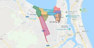
Political Map of Thanh Khe district – Da Nang city Interactive online map of Thanh Khe Urban District. Source: Database of Global Administrative Areas, Global Map of Vietnam ©ISCGM, Ministry of Nutural Resources and Environment – Vietnam.Base Map Layer: Open Street Map (OSM), Arcgisonline, Google Map, Wmflabs. Large scale maps of Thanh Khe Urban District ... Read more
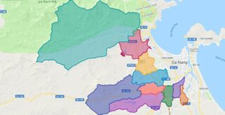
Political Map of Hoa Vang district – Da Nang city Interactive online map of Hoa Vang District. Source: Database of Global Administrative Areas, Global Map of Vietnam ©ISCGM, Ministry of Nutural Resources and Environment – Vietnam.Base Map Layer: Open Street Map (OSM), Arcgisonline, Google Map, Wmflabs. Large scale maps of Hoa Vang District Hoa Vang ... Read more
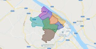
Political Map of Binh Thuy district – Can Tho city Interactive online map of Binh Thuy Urban District. Source: Database of Global Administrative Areas, Global Map of Vietnam ©ISCGM, Ministry of Nutural Resources and Environment – Vietnam.Base Map Layer: Open Street Map (OSM), Arcgisonline, Google Map, Wmflabs. Large scale maps of Binh Thuy Urban District ... Read more
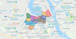
Political Map of Ba Dinh district – Ha Noi Interactive online map of Ba Dinh Urban District. Source: Database of Global Administrative Areas, Global Map of Vietnam ©ISCGM, Ministry of Nutural Resources and Environment – Vietnam.Base Map Layer: Open Street Map (OSM), Arcgisonline, Google Map, Wmflabs. Large scale maps of Ba Dinh Urban District Ba ... Read more
