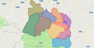
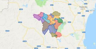
Political Map of Lang Chanh district – Thanh Hoa Interactive online map of Lang Chanh District. Source: Database of Global Administrative Areas, Global Map of Vietnam ©ISCGM, Ministry of Nutural Resources and Environment – Vietnam.Base Map Layer: Open Street Map (OSM), Arcgisonline, Google Map, Wmflabs. Large scale maps of Lang Chanh District Lang Chanh location ... Read more
Map of all districts of Vietnam
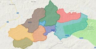
Political Map of Muong Lat district – Thanh Hoa Interactive online map of Muong Lat District. Source: Database of Global Administrative Areas, Global Map of Vietnam ©ISCGM, Ministry of Nutural Resources and Environment – Vietnam.Base Map Layer: Open Street Map (OSM), Arcgisonline, Google Map, Wmflabs. Large scale maps of Muong Lat District Muong Lat location ... Read more
Political Map of Nga Son district – Thanh Hoa Interactive online map of Nga Son District. Source: Database of Global Administrative Areas, Global Map of Vietnam ©ISCGM, Ministry of Nutural Resources and Environment – Vietnam.Base Map Layer: Open Street Map (OSM), Arcgisonline, Google Map, Wmflabs. Large scale maps of Nga Son District Nga Son location ... Read more
Political Map of Ngoc Lac district – Thanh Hoa Interactive online map of Ngoc Lac District. Source: Database of Global Administrative Areas, Global Map of Vietnam ©ISCGM, Ministry of Nutural Resources and Environment – Vietnam.Base Map Layer: Open Street Map (OSM), Arcgisonline, Google Map, Wmflabs. Large scale maps of Ngoc Lac District Ngoc Lac location ... Read more
Political Map of Nhu Thanh district – Thanh Hoa Interactive online map of Nhu Thanh District. Source: Database of Global Administrative Areas, Global Map of Vietnam ©ISCGM, Ministry of Nutural Resources and Environment – Vietnam.Base Map Layer: Open Street Map (OSM), Arcgisonline, Google Map, Wmflabs. Large scale maps of Nhu Thanh District Nhu Thanh location ... Read more
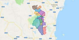
Political Map of Nhu Xuan district – Thanh Hoa Interactive online map of Nhu Xuan District. Source: Database of Global Administrative Areas, Global Map of Vietnam ©ISCGM, Ministry of Nutural Resources and Environment – Vietnam.Base Map Layer: Open Street Map (OSM), Arcgisonline, Google Map, Wmflabs. Large scale maps of Nhu Xuan District Nhu Xuan location ... Read more
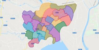
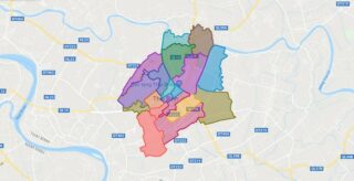
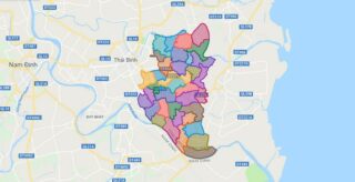
Political Map of Thai Binh city – Thai Binh Interactive online map of Thai Binh City. Source: Database of Global Administrative Areas, Global Map of Vietnam ©ISCGM, Ministry of Nutural Resources and Environment – Vietnam.Base Map Layer: Open Street Map (OSM), Arcgisonline, Google Map, Wmflabs. Large scale maps of Thai Binh City Thai Binh location ... Read more
Political Map of Dong Hung district – Thai Binh Interactive online map of Dong Hung District. Source: Database of Global Administrative Areas, Global Map of Vietnam ©ISCGM, Ministry of Nutural Resources and Environment – Vietnam.Base Map Layer: Open Street Map (OSM), Arcgisonline, Google Map, Wmflabs. Large scale maps of Dong Hung District Dong Hung location ... Read more
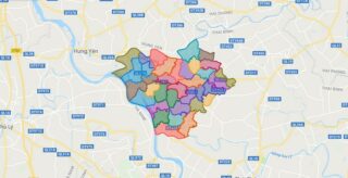
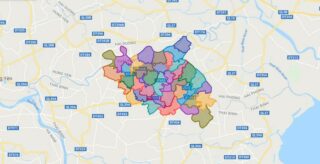
Political Map of Hung Ha district – Thai Binh Interactive online map of Hung Ha District. Source: Database of Global Administrative Areas, Global Map of Vietnam ©ISCGM, Ministry of Nutural Resources and Environment – Vietnam.Base Map Layer: Open Street Map (OSM), Arcgisonline, Google Map, Wmflabs. Large scale maps of Hung Ha District Hung Ha location ... Read more
Political Map of Kien Xuong district – Thai Binh Interactive online map of Kien Xuong District. Source: Database of Global Administrative Areas, Global Map of Vietnam ©ISCGM, Ministry of Nutural Resources and Environment – Vietnam.Base Map Layer: Open Street Map (OSM), Arcgisonline, Google Map, Wmflabs. Large scale maps of Kien Xuong District Kien Xuong location ... Read more
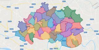
Political Map of Quynh Phu district – Thai Binh Interactive online map of Quynh Phu District. Source: Database of Global Administrative Areas, Global Map of Vietnam ©ISCGM, Ministry of Nutural Resources and Environment – Vietnam.Base Map Layer: Open Street Map (OSM), Arcgisonline, Google Map, Wmflabs. Large scale maps of Quynh Phu District Quynh Phu location ... Read more
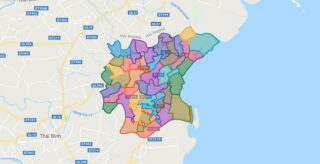
Political Map of Thai Thuy district – Thai Binh Interactive online map of Thai Thuy District. Source: Database of Global Administrative Areas, Global Map of Vietnam ©ISCGM, Ministry of Nutural Resources and Environment – Vietnam.Base Map Layer: Open Street Map (OSM), Arcgisonline, Google Map, Wmflabs. Large scale maps of Thai Thuy District Thai Thuy location ... Read more
