Map of Amouli village

Map of Amouli village

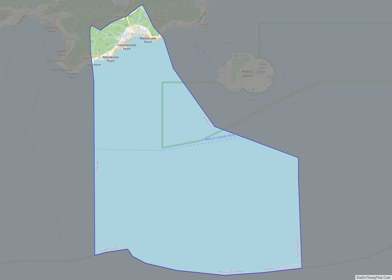
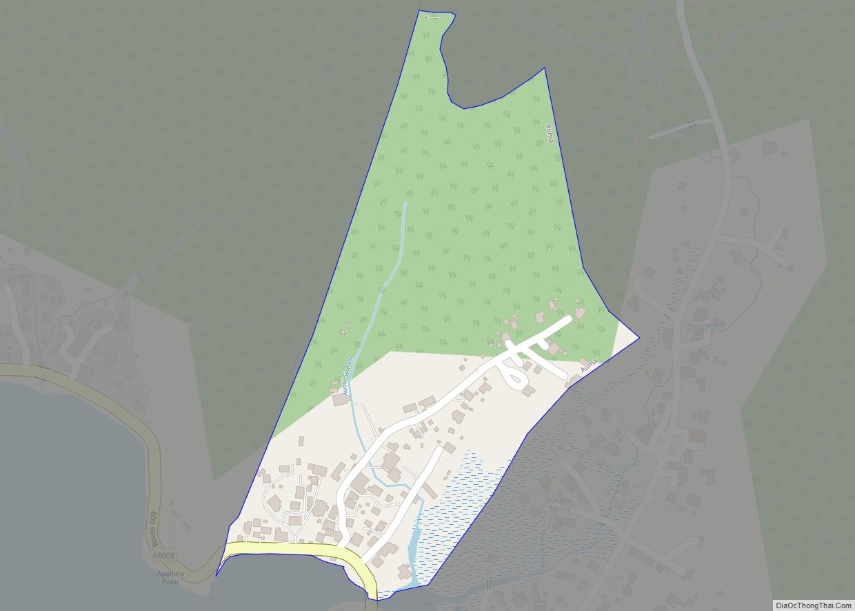
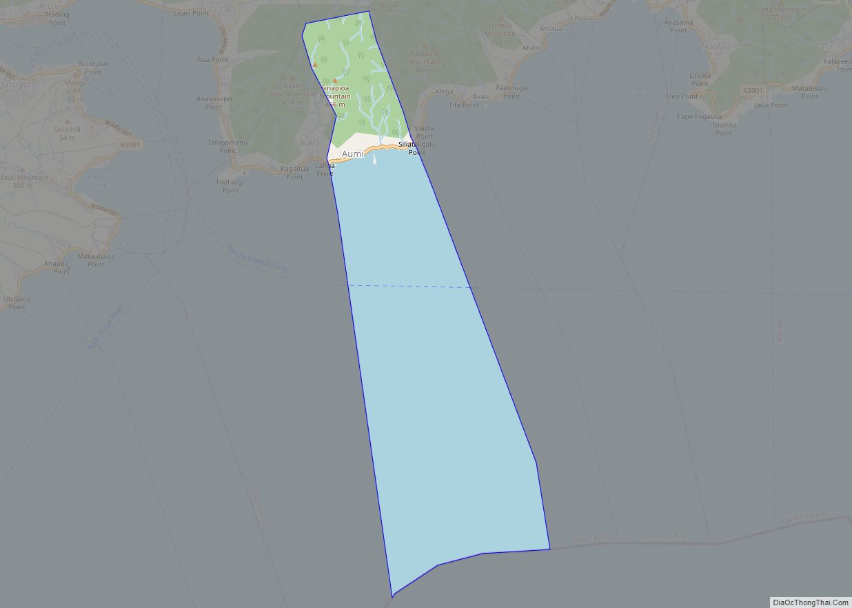
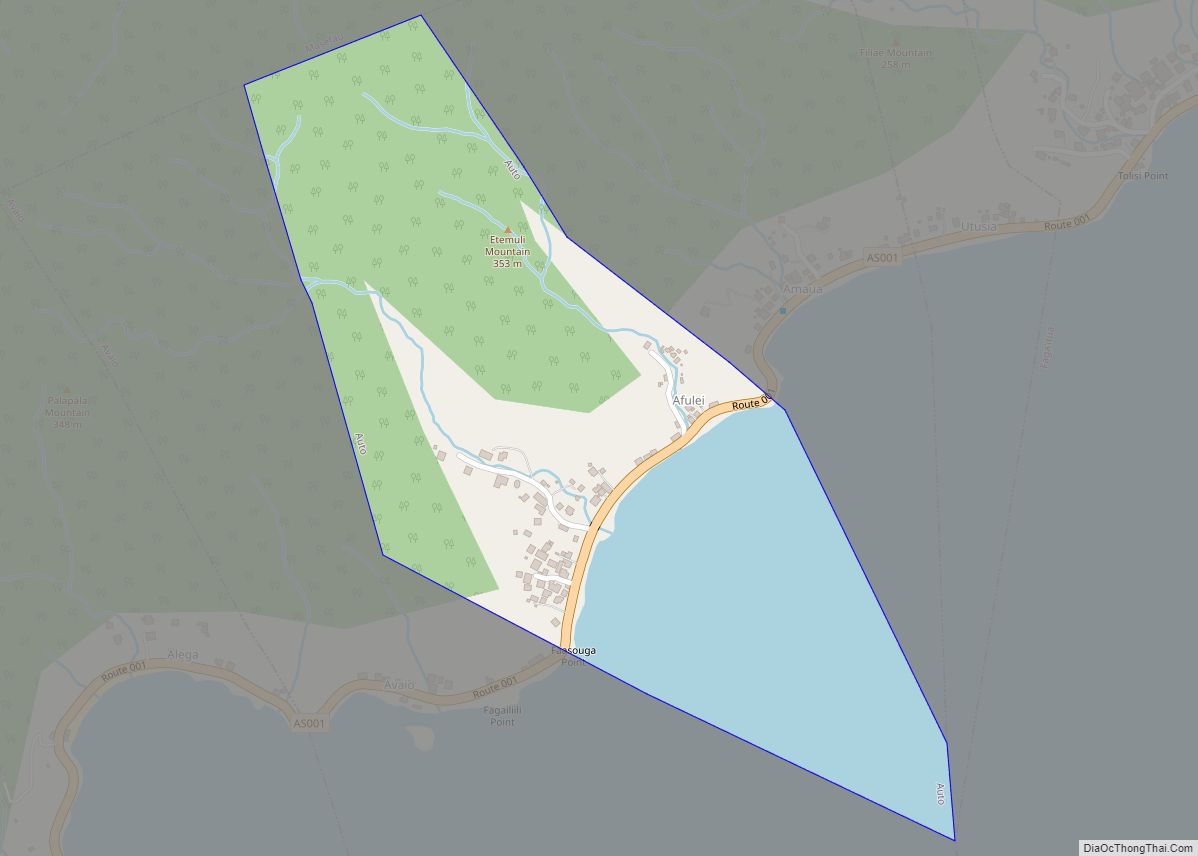
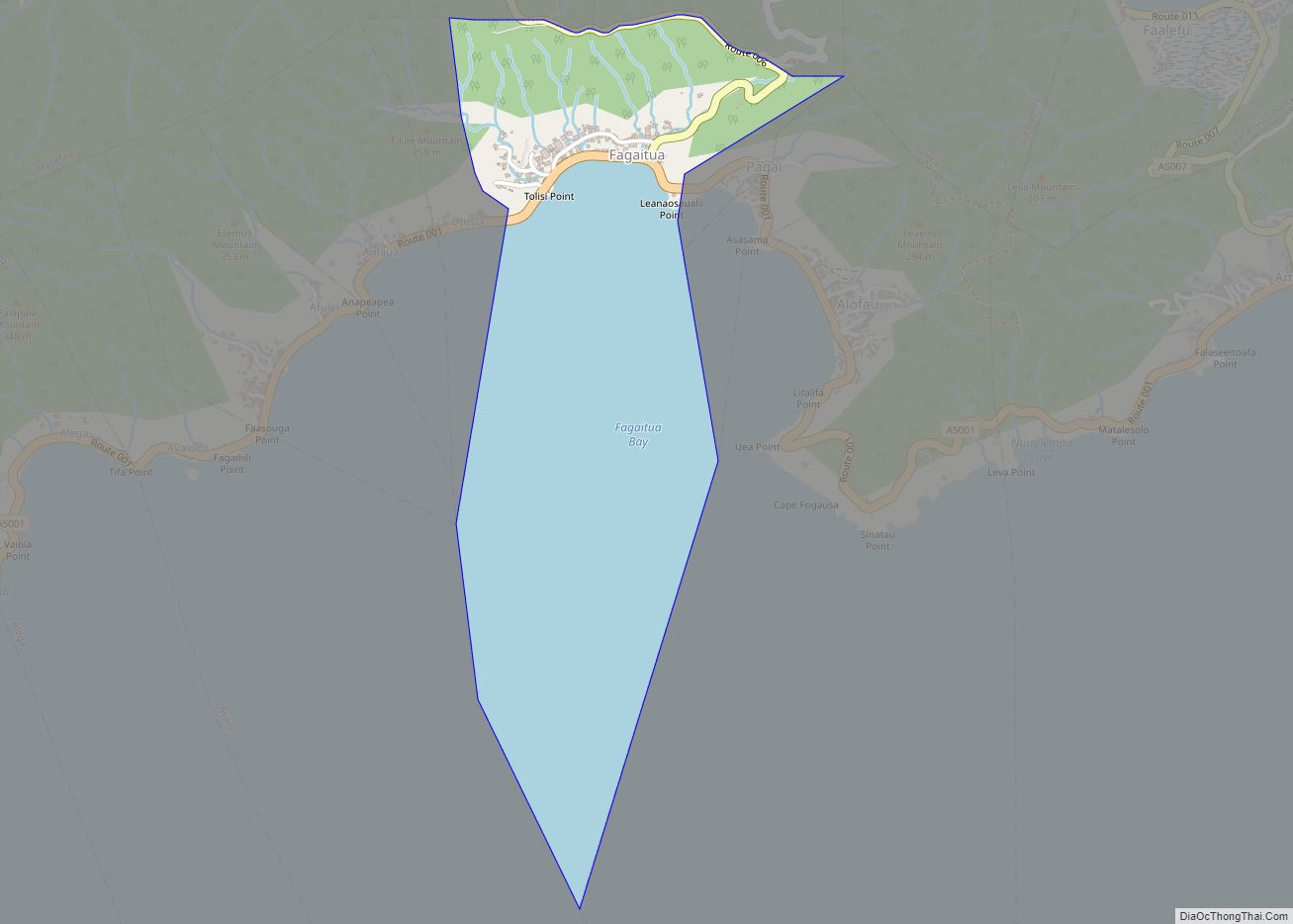
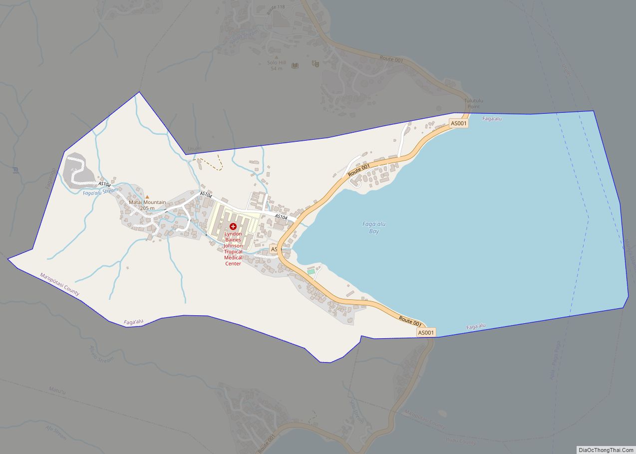
Amouli village overview: Name: Amouli village LSAD Code: 47 LSAD Description: village (suffix) State: American Samoa FIPS code: 6010500 Online Interactive Map Amouli online map. Source: Basemap layers from Google Map, Open Street Map (OSM), Arcgisonline, Wmflabs. Boundary Data from Database of Global Administrative Areas. Amouli location map. Where is Amouli village? Amouli Road Map … Read more

Map of Asili village

Map of Asili village

Asili village overview: Name: Asili village LSAD Code: 47 LSAD Description: village (suffix) State: American Samoa FIPS code: 6013700 Online Interactive Map Asili online map. Source: Basemap layers from Google Map, Open Street Map (OSM), Arcgisonline, Wmflabs. Boundary Data from Database of Global Administrative Areas. Asili location map. Where is Asili village? Asili Road Map … Read more

Map of Aoloau village

Map of Aoloau village

Aoloau village overview: Name: Aoloau village LSAD Code: 47 LSAD Description: village (suffix) State: American Samoa FIPS code: 6012800 Online Interactive Map Aoloau online map. Source: Basemap layers from Google Map, Open Street Map (OSM), Arcgisonline, Wmflabs. Boundary Data from Database of Global Administrative Areas. Aoloau location map. Where is Aoloau village? Aoloau Road Map … Read more

Map of Atu'u village

Map of Atu’u village

Atu’u village overview: Name: Atu’u village LSAD Code: 47 LSAD Description: village (suffix) State: American Samoa FIPS code: 6014500 Online Interactive Map Atu’u online map. Source: Basemap layers from Google Map, Open Street Map (OSM), Arcgisonline, Wmflabs. Boundary Data from Database of Global Administrative Areas. Atu’u location map. Where is Atu’u village? Atu’u Road Map … Read more

Map of Auma village

Map of Auma village

Auma village overview: Name: Auma village LSAD Code: 47 LSAD Description: village (suffix) State: American Samoa FIPS code: 6016900 Online Interactive Map Auma online map. Source: Basemap layers from Google Map, Open Street Map (OSM), Arcgisonline, Wmflabs. Boundary Data from Database of Global Administrative Areas. Auma location map. Where is Auma village? Auma Road Map … Read more

Map of Auasi village

Map of Auasi village

Auasi village overview: Name: Auasi village LSAD Code: 47 LSAD Description: village (suffix) State: American Samoa FIPS code: 6016100 Online Interactive Map Auasi online map. Source: Basemap layers from Google Map, Open Street Map (OSM), Arcgisonline, Wmflabs. Boundary Data from Database of Global Administrative Areas. Auasi location map. Where is Auasi village? Auasi Road Map … Read more

Map of Aua village

Map of Aua village

Aua village overview: Name: Aua village LSAD Code: 47 LSAD Description: village (suffix) State: American Samoa FIPS code: 6015300 Online Interactive Map Aua online map. Source: Basemap layers from Google Map, Open Street Map (OSM), Arcgisonline, Wmflabs. Boundary Data from Database of Global Administrative Areas. Aua location map. Where is Aua village? Aua Road Map … Read more

Map of Auto village

Map of Auto village

Auto village overview: Name: Auto village LSAD Code: 47 LSAD Description: village (suffix) State: American Samoa FIPS code: 6020100 Online Interactive Map Auto online map. Source: Basemap layers from Google Map, Open Street Map (OSM), Arcgisonline, Wmflabs. Boundary Data from Database of Global Administrative Areas. Auto location map. Where is Auto village? Auto Road Map … Read more

Map of Aunu'u village

Map of Aunu’u village

Aunu’u village overview: Name: Aunu’u village LSAD Code: 47 LSAD Description: village (suffix) State: American Samoa FIPS code: 6018500 Online Interactive Map Aunu’u online map. Source: Basemap layers from Google Map, Open Street Map (OSM), Arcgisonline, Wmflabs. Boundary Data from Database of Global Administrative Areas. Aunu’u location map. Where is Aunu’u village? Aunu’u Road Map … Read more

Map of Aumi village

Map of Aumi village

Aumi village overview: Name: Aumi village LSAD Code: 47 LSAD Description: village (suffix) State: American Samoa FIPS code: 6017700 Online Interactive Map Aumi online map. Source: Basemap layers from Google Map, Open Street Map (OSM), Arcgisonline, Wmflabs. Boundary Data from Database of Global Administrative Areas. Aumi location map. Where is Aumi village? Aumi Road Map … Read more

Map of Faga'itua village

Map of Faga’itua village

Faga’itua village overview: Name: Faga’itua village LSAD Code: 47 LSAD Description: village (suffix) State: American Samoa FIPS code: 6023300 Online Interactive Map Faga’itua online map. Source: Basemap layers from Google Map, Open Street Map (OSM), Arcgisonline, Wmflabs. Boundary Data from Database of Global Administrative Areas. Faga’itua location map. Where is Faga’itua village? Faga’itua Road Map … Read more

Map of Faga'alu village

Map of Faga’alu village

Faga’alu village overview: Name: Faga’alu village LSAD Code: 47 LSAD Description: village (suffix) State: American Samoa FIPS code: 6022500 Online Interactive Map Faga’alu online map. Source: Basemap layers from Google Map, Open Street Map (OSM), Arcgisonline, Wmflabs. Boundary Data from Database of Global Administrative Areas. Faga’alu location map. Where is Faga’alu village? Faga’alu Road Map … Read more