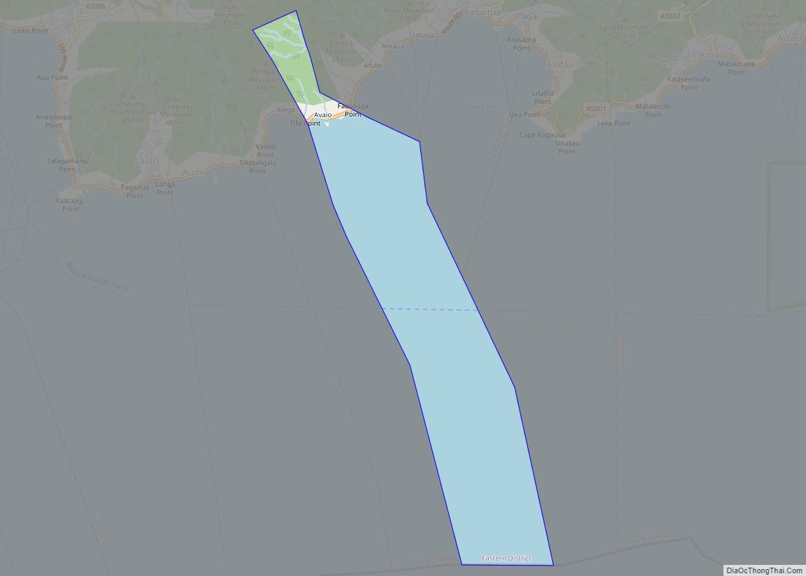
Avaio village overview: Name: Avaio village LSAD Code: 47 LSAD Description: village (suffix) State: American Samoa FIPS code: 6020900 Online Interactive Map Avaio online map. Source: Basemap layers from Google Map, Open Street Map (OSM), Arcgisonline, Wmflabs. Boundary Data from Database of Global Administrative Areas. Avaio location map. Where is Avaio village? Avaio Road Map ... Read more
American Samoa Cities and Places
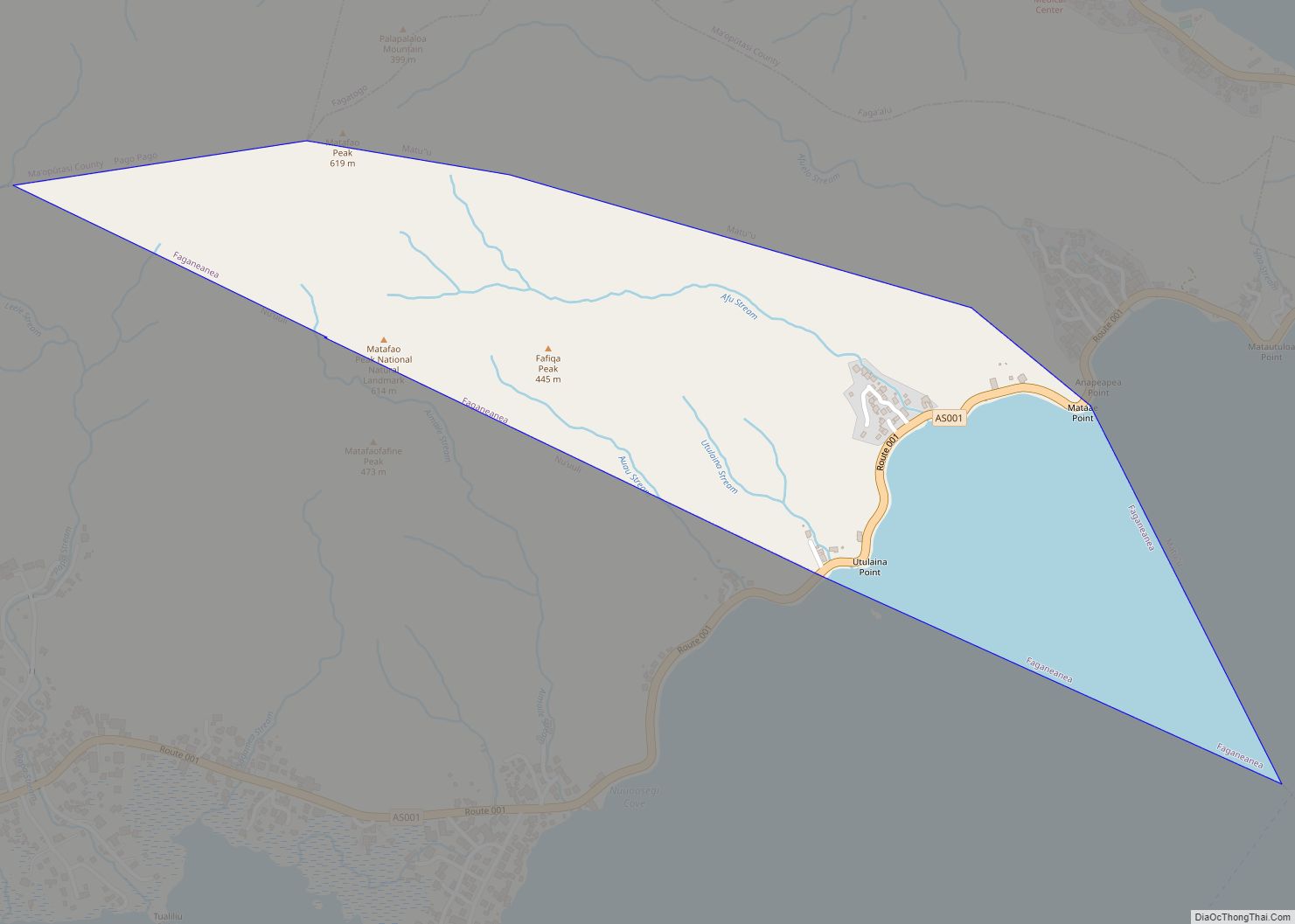
Faganeanea village overview: Name: Faganeanea village LSAD Code: 47 LSAD Description: village (suffix) State: American Samoa FIPS code: 6026500 Online Interactive Map Faganeanea online map. Source: Basemap layers from Google Map, Open Street Map (OSM), Arcgisonline, Wmflabs. Boundary Data from Database of Global Administrative Areas. Faganeanea location map. Where is Faganeanea village? Faganeanea Road Map ... Read more
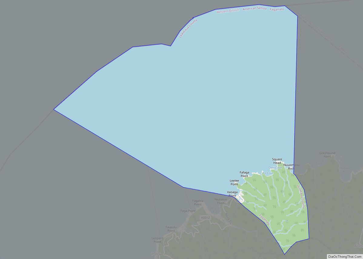
Fagamalo village overview: Name: Fagamalo village LSAD Code: 47 LSAD Description: village (suffix) State: American Samoa FIPS code: 6025700 Online Interactive Map Fagamalo online map. Source: Basemap layers from Google Map, Open Street Map (OSM), Arcgisonline, Wmflabs. Boundary Data from Database of Global Administrative Areas. Fagamalo location map. Where is Fagamalo village? Fagamalo Road Map ... Read more
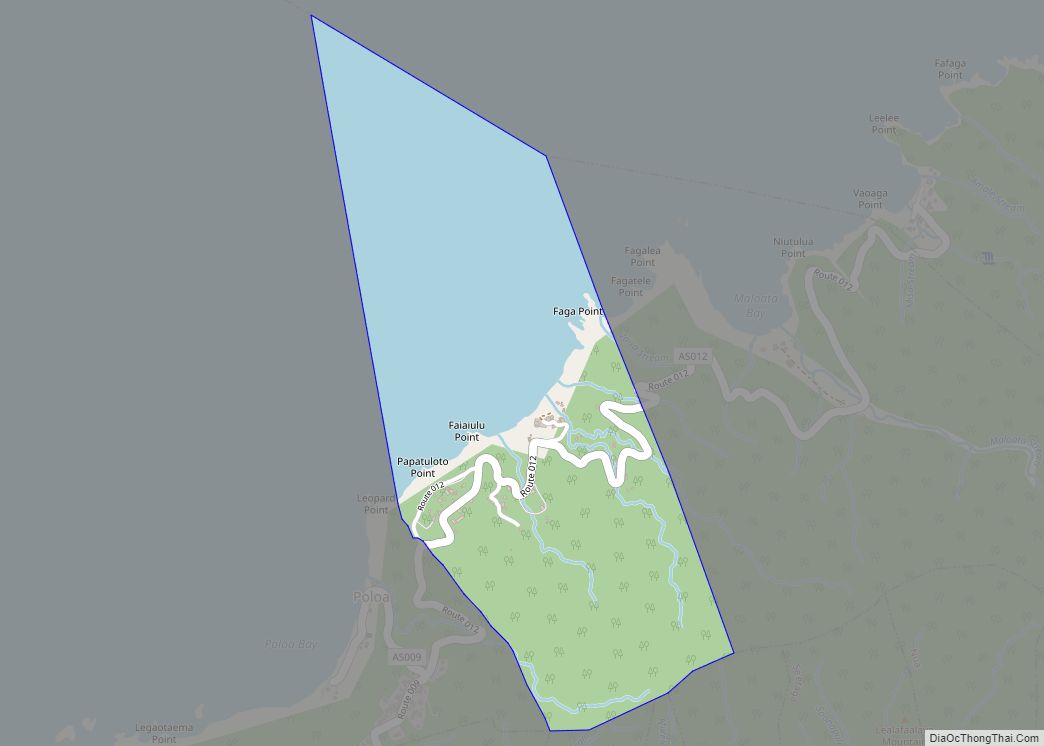
Fagali’i village overview: Name: Fagali’i village LSAD Code: 47 LSAD Description: village (suffix) State: American Samoa FIPS code: 6024900 Online Interactive Map Fagali’i online map. Source: Basemap layers from Google Map, Open Street Map (OSM), Arcgisonline, Wmflabs. Boundary Data from Database of Global Administrative Areas. Fagali’i location map. Where is Fagali’i village? Fagali’i Road Map ... Read more
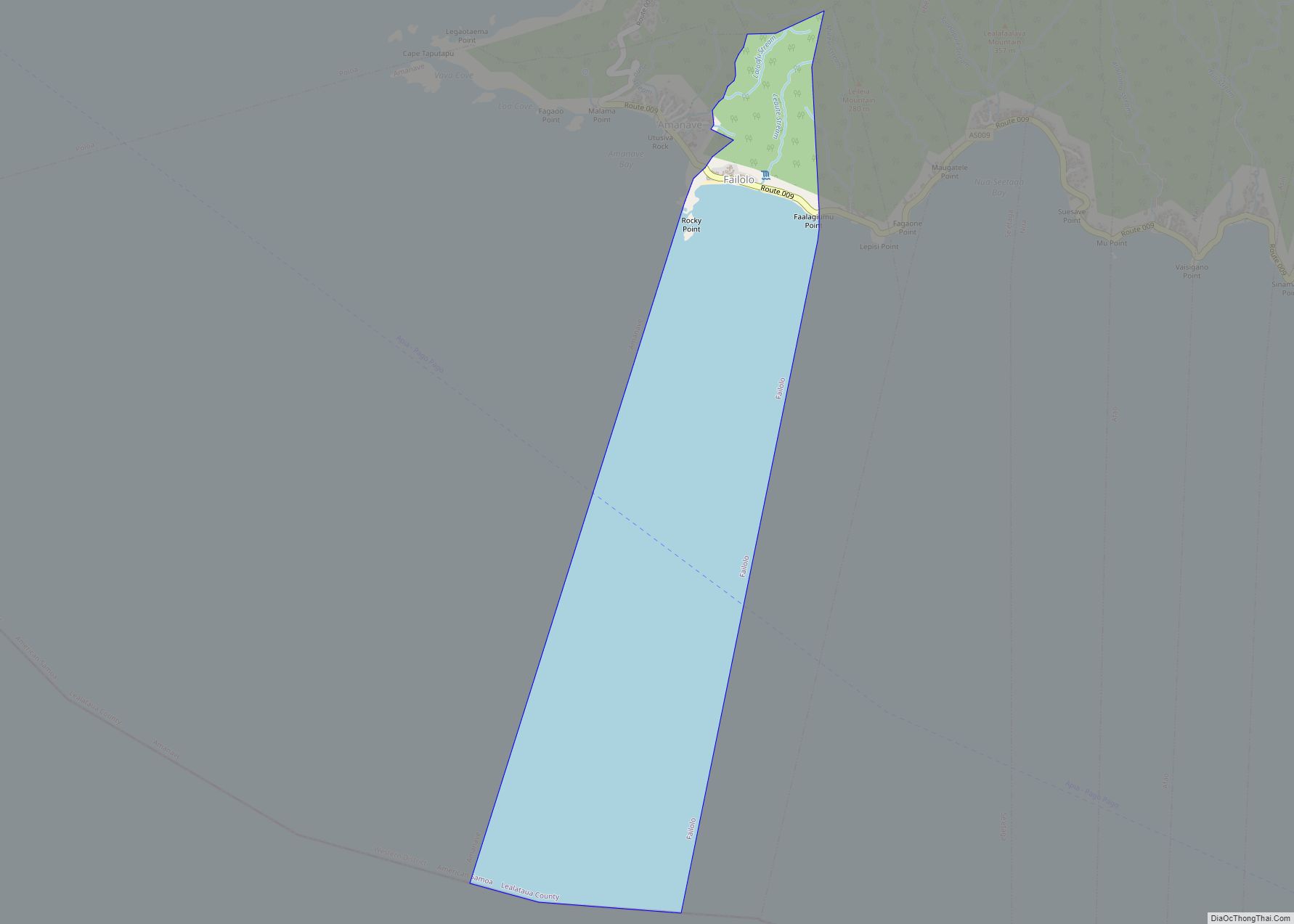
Failolo village overview: Name: Failolo village LSAD Code: 47 LSAD Description: village (suffix) State: American Samoa FIPS code: 6029700 Online Interactive Map Failolo online map. Source: Basemap layers from Google Map, Open Street Map (OSM), Arcgisonline, Wmflabs. Boundary Data from Database of Global Administrative Areas. Failolo location map. Where is Failolo village? Failolo Road Map ... Read more
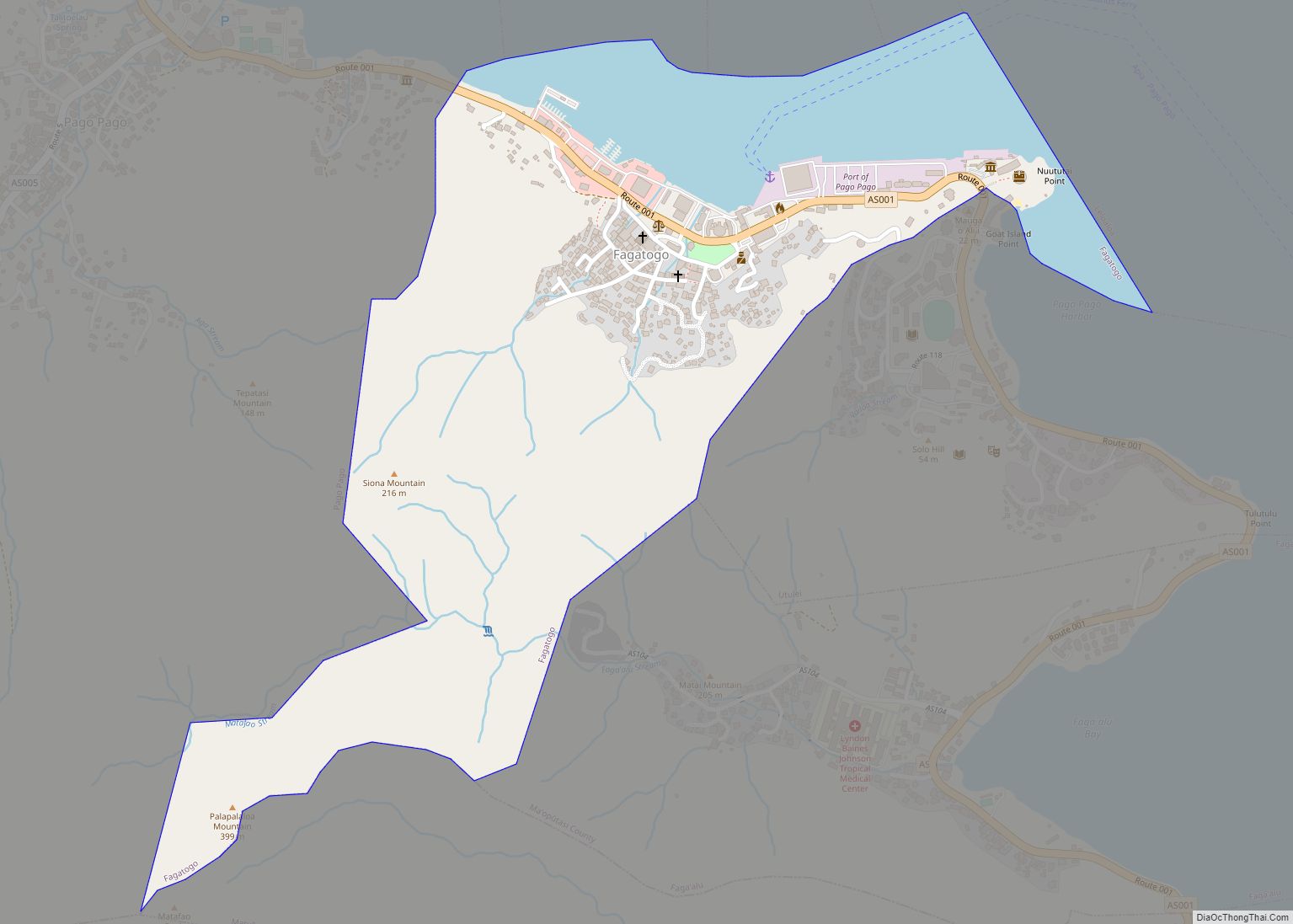
Fagatogo village overview: Name: Fagatogo village LSAD Code: 47 LSAD Description: village (suffix) State: American Samoa FIPS code: 6028900 Online Interactive Map Fagatogo online map. Source: Basemap layers from Google Map, Open Street Map (OSM), Arcgisonline, Wmflabs. Boundary Data from Database of Global Administrative Areas. Fagatogo location map. Where is Fagatogo village? Fagatogo Road Map ... Read more
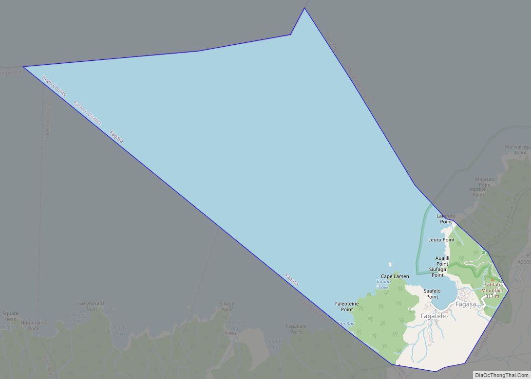
Fagasa village overview: Name: Fagasa village LSAD Code: 47 LSAD Description: village (suffix) State: American Samoa FIPS code: 6027300 Online Interactive Map Fagasa online map. Source: Basemap layers from Google Map, Open Street Map (OSM), Arcgisonline, Wmflabs. Boundary Data from Database of Global Administrative Areas. Fagasa location map. Where is Fagasa village? Fagasa Road Map ... Read more
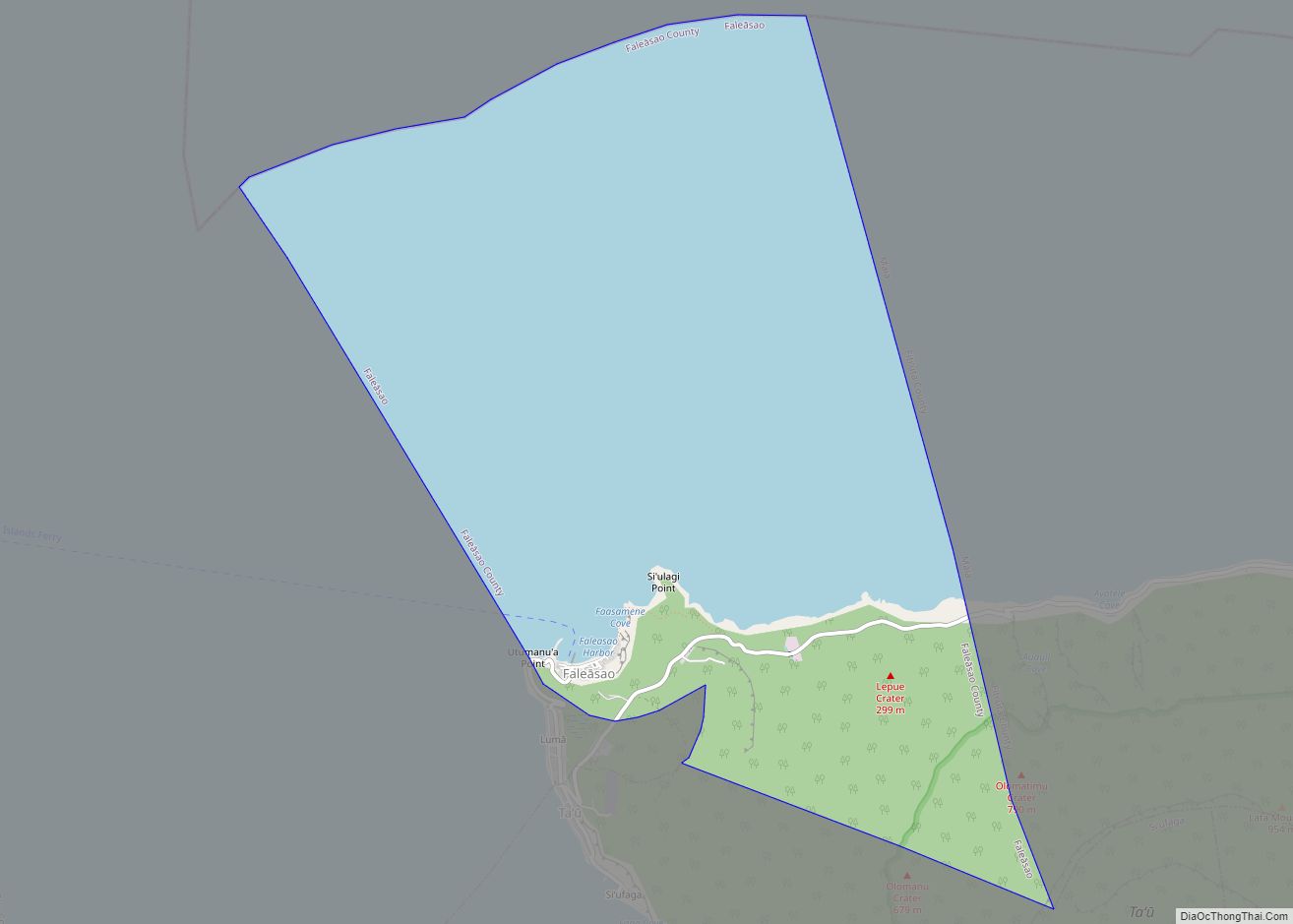
Faleasao village overview: Name: Faleasao village LSAD Code: 47 LSAD Description: village (suffix) State: American Samoa FIPS code: 6030500 Online Interactive Map Faleasao online map. Source: Basemap layers from Google Map, Open Street Map (OSM), Arcgisonline, Wmflabs. Boundary Data from Database of Global Administrative Areas. Faleasao location map. Where is Faleasao village? Faleasao Road Map ... Read more
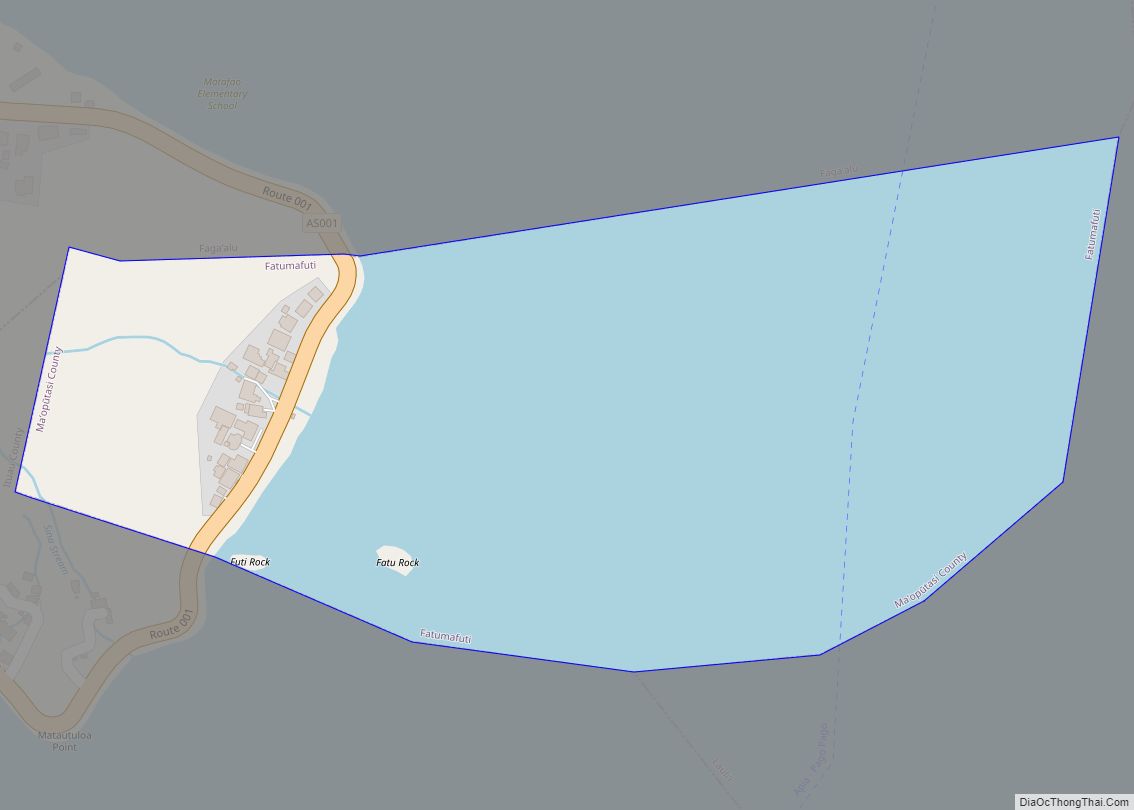
Fatumafuti village overview: Name: Fatumafuti village LSAD Code: 47 LSAD Description: village (suffix) State: American Samoa FIPS code: 6032900 Online Interactive Map Fatumafuti online map. Source: Basemap layers from Google Map, Open Street Map (OSM), Arcgisonline, Wmflabs. Boundary Data from Database of Global Administrative Areas. Fatumafuti location map. Where is Fatumafuti village? Fatumafuti Road Map ... Read more
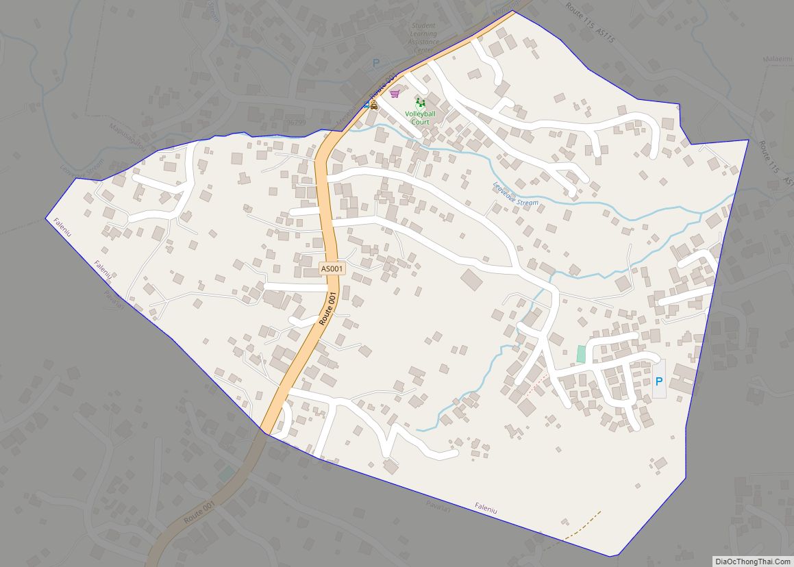
Faleniu village overview: Name: Faleniu village LSAD Code: 47 LSAD Description: village (suffix) State: American Samoa FIPS code: 6032100 Online Interactive Map Faleniu online map. Source: Basemap layers from Google Map, Open Street Map (OSM), Arcgisonline, Wmflabs. Boundary Data from Database of Global Administrative Areas. Faleniu location map. Where is Faleniu village? Faleniu Road Map ... Read more
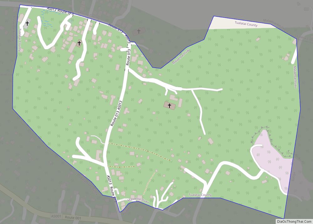
Malaeloa/Ituau village overview: Name: Malaeloa/Ituau village LSAD Code: 47 LSAD Description: village (suffix) State: American Samoa FIPS code: 6049400 Online Interactive Map Malaeloa/Ituau online map. Source: Basemap layers from Google Map, Open Street Map (OSM), Arcgisonline, Wmflabs. Boundary Data from Database of Global Administrative Areas. Malaeloa/Ituau location map. Where is Malaeloa/Ituau village? Malaeloa/Ituau Road Map ... Read more
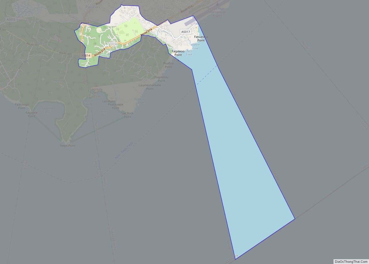
Ili’ili village overview: Name: Ili’ili village LSAD Code: 47 LSAD Description: village (suffix) State: American Samoa FIPS code: 6036900 Online Interactive Map Ili’ili online map. Source: Basemap layers from Google Map, Open Street Map (OSM), Arcgisonline, Wmflabs. Boundary Data from Database of Global Administrative Areas. Ili’ili location map. Where is Ili’ili village? Ili’ili Road Map ... Read more
