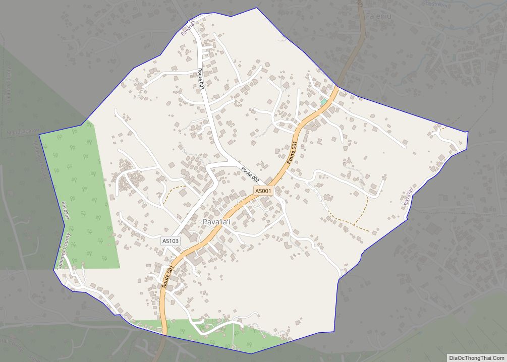
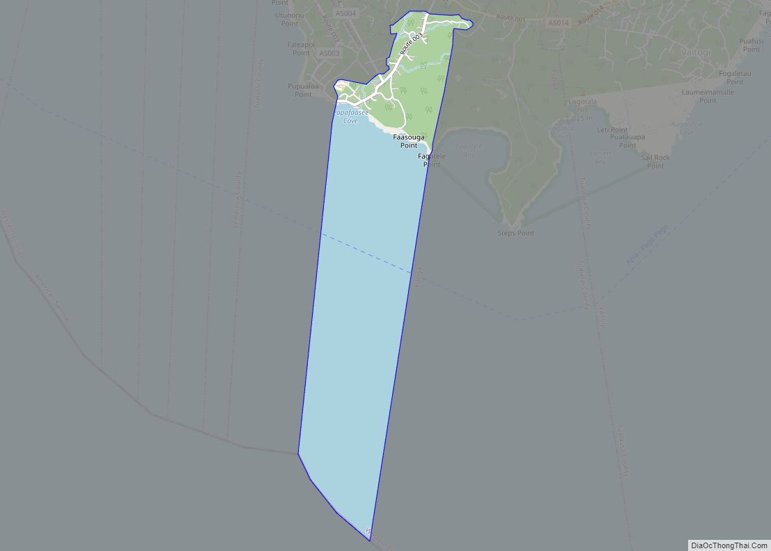
Pava’ia’i village overview: Name: Pava’ia’i village LSAD Code: 47 LSAD Description: village (suffix) State: American Samoa FIPS code: 6064100 Online Interactive Map Pava’ia’i online map. Source: Basemap layers from Google Map, Open Street Map (OSM), Arcgisonline, Wmflabs. Boundary Data from Database of Global Administrative Areas. Pava’ia’i location map. Where is Pava’ia’i village? Pava’ia’i Road Map ... Read more
American Samoa Cities and Places
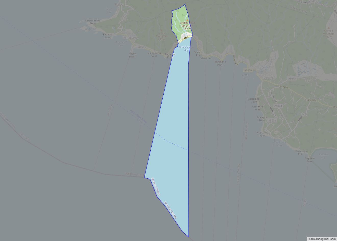
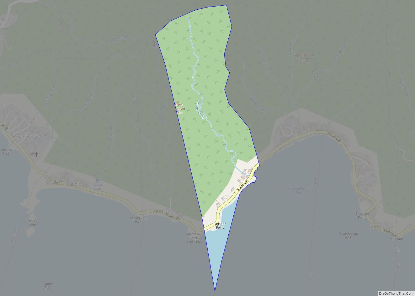
Se’etaga village overview: Name: Se’etaga village LSAD Code: 47 LSAD Description: village (suffix) State: American Samoa FIPS code: 6068900 Online Interactive Map Se’etaga online map. Source: Basemap layers from Google Map, Open Street Map (OSM), Arcgisonline, Wmflabs. Boundary Data from Database of Global Administrative Areas. Se’etaga location map. Where is Se’etaga village? Se’etaga Road Map ... Read more
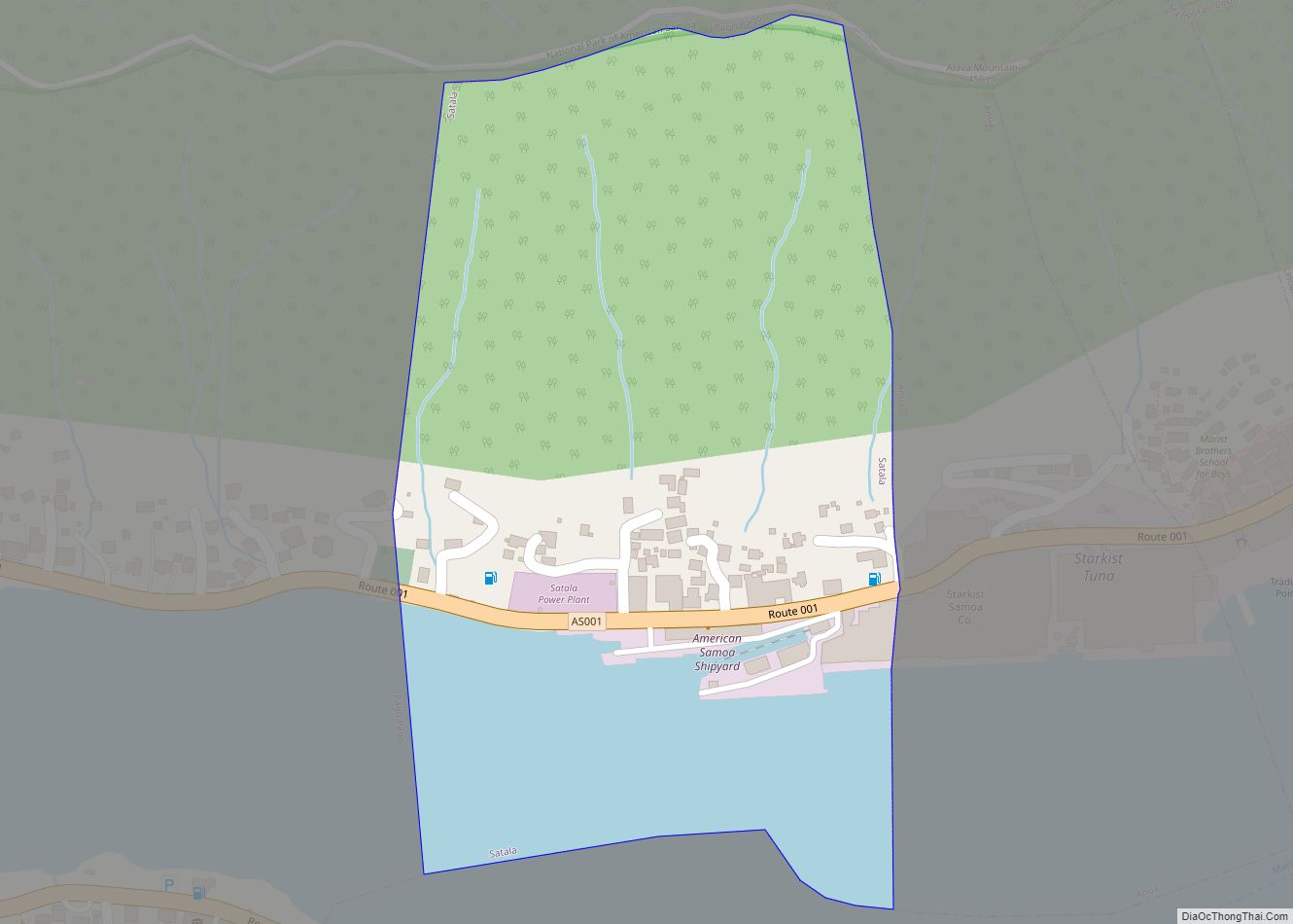
Satala village overview: Name: Satala village LSAD Code: 47 LSAD Description: village (suffix) State: American Samoa FIPS code: 6068100 Online Interactive Map Satala online map. Source: Basemap layers from Google Map, Open Street Map (OSM), Arcgisonline, Wmflabs. Boundary Data from Database of Global Administrative Areas. Satala location map. Where is Satala village? Satala Road Map ... Read more
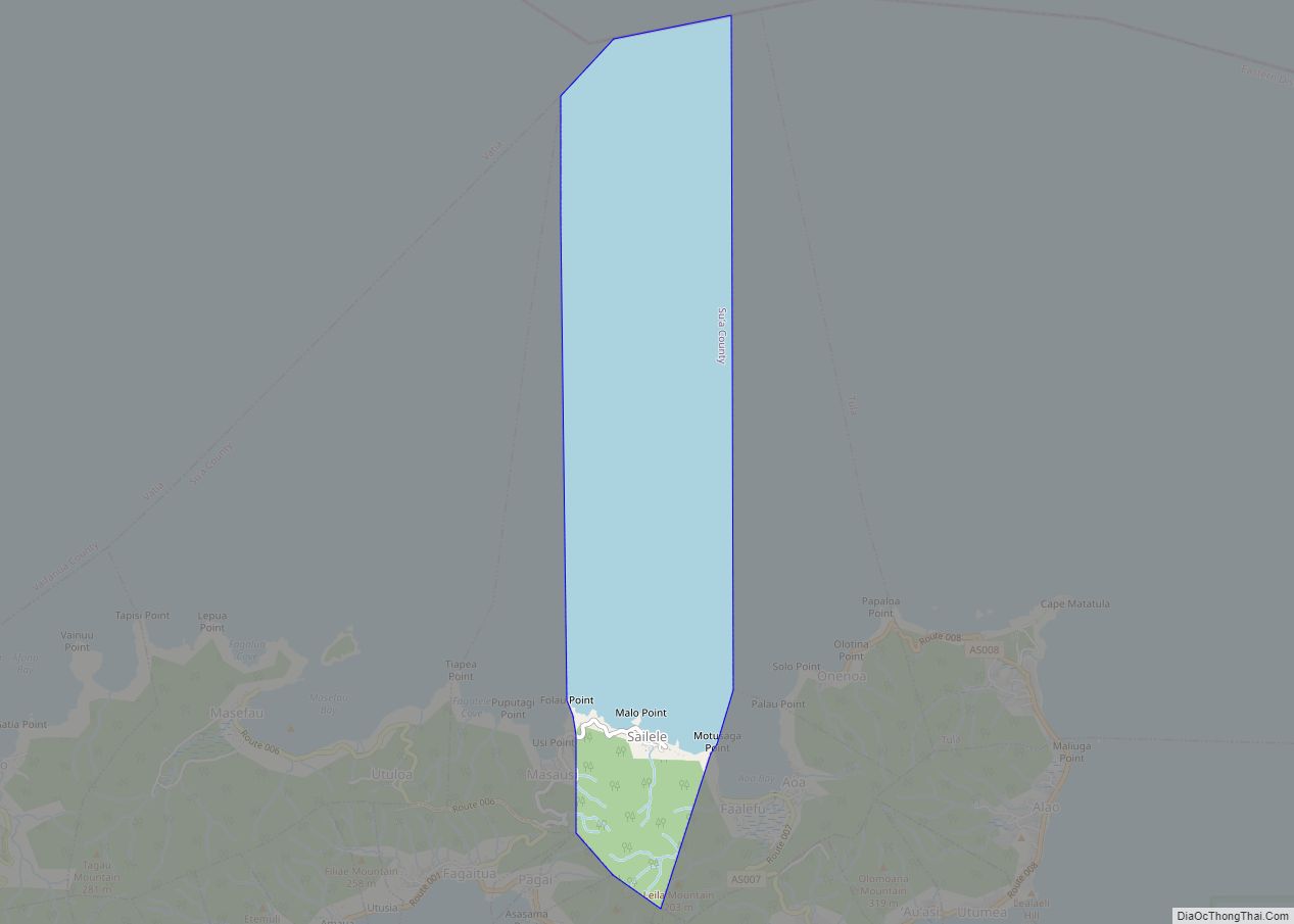
Sa’ilele village overview: Name: Sa’ilele village LSAD Code: 47 LSAD Description: village (suffix) State: American Samoa FIPS code: 6066500 Online Interactive Map Sa’ilele online map. Source: Basemap layers from Google Map, Open Street Map (OSM), Arcgisonline, Wmflabs. Boundary Data from Database of Global Administrative Areas. Sa’ilele location map. Where is Sa’ilele village? Sa’ilele Road Map ... Read more
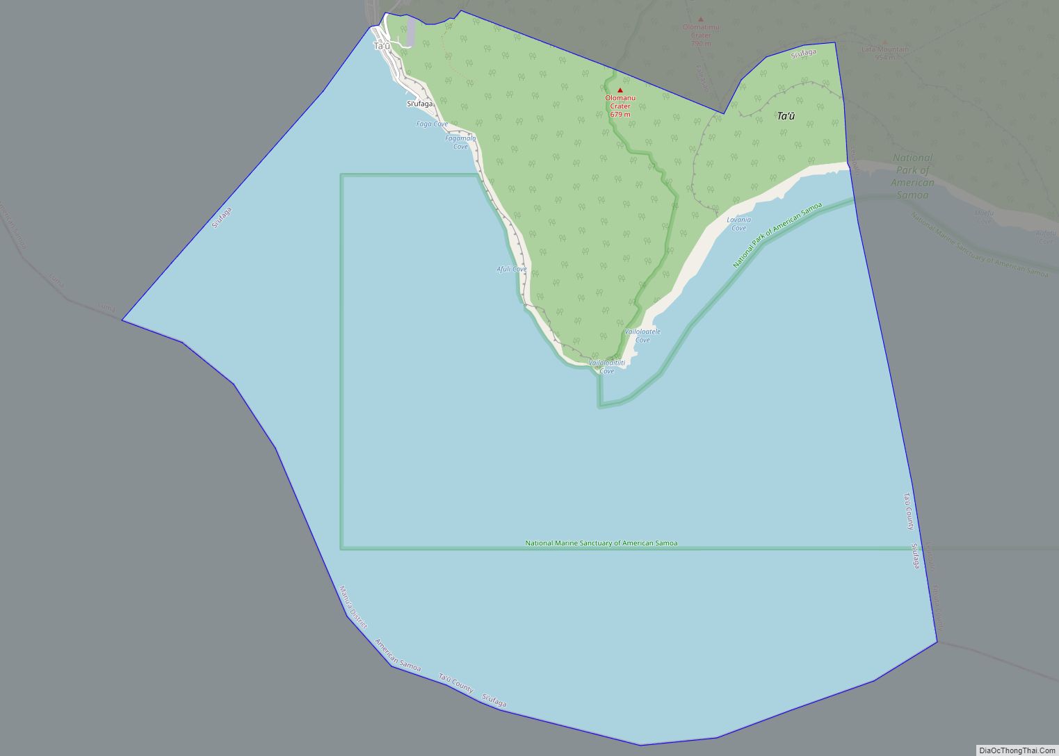
Si’ufaga village overview: Name: Si’ufaga village LSAD Code: 47 LSAD Description: village (suffix) State: American Samoa FIPS code: 6071300 Online Interactive Map Si’ufaga online map. Source: Basemap layers from Google Map, Open Street Map (OSM), Arcgisonline, Wmflabs. Boundary Data from Database of Global Administrative Areas. Si’ufaga location map. Where is Si’ufaga village? Si’ufaga Road Map ... Read more
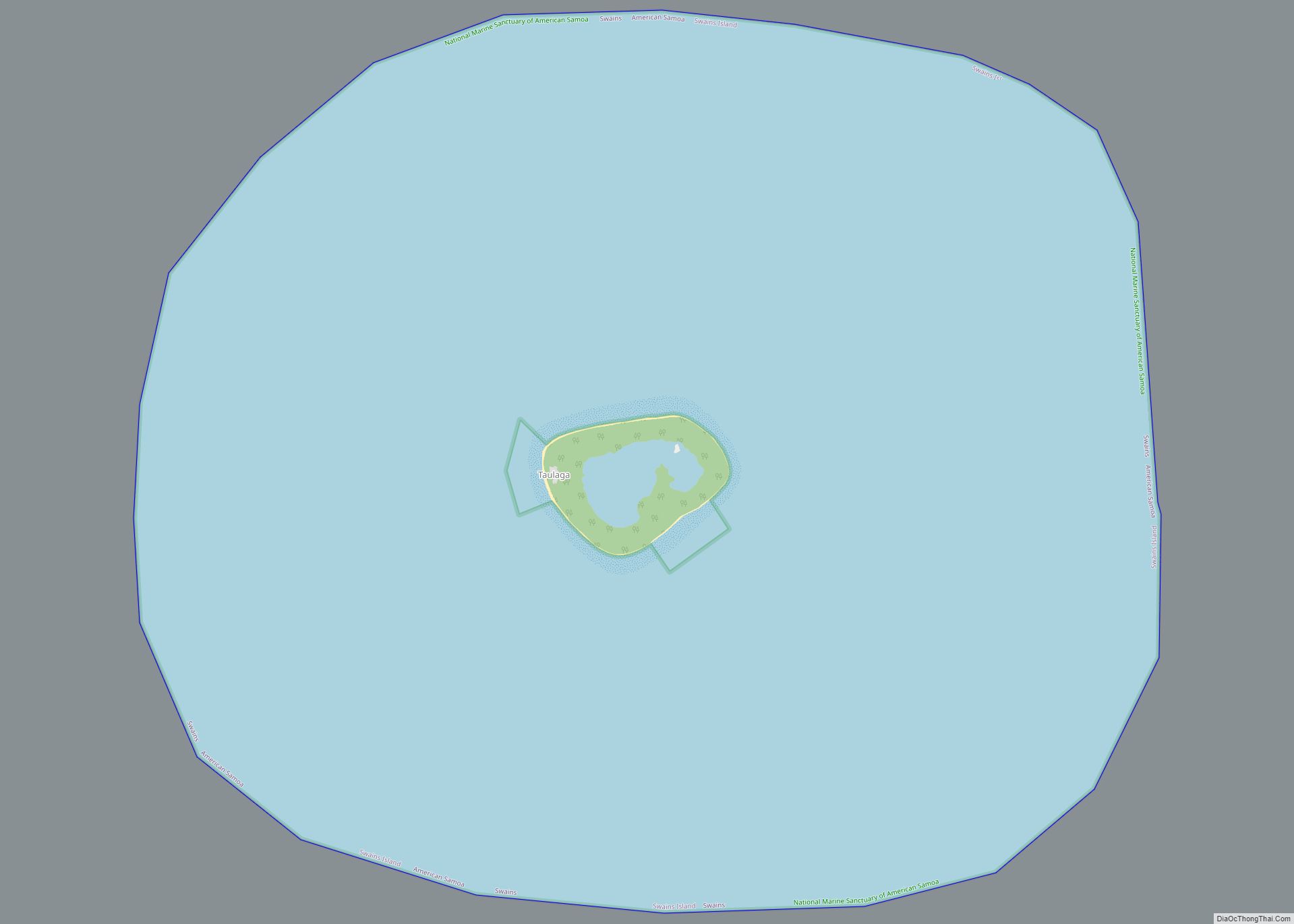
Swains village overview: Name: Swains village LSAD Code: 47 LSAD Description: village (suffix) State: American Samoa FIPS code: 6072900 Online Interactive Map Swains online map. Source: Basemap layers from Google Map, Open Street Map (OSM), Arcgisonline, Wmflabs. Boundary Data from Database of Global Administrative Areas. Swains location map. Where is Swains village? Swains Road Map ... Read more
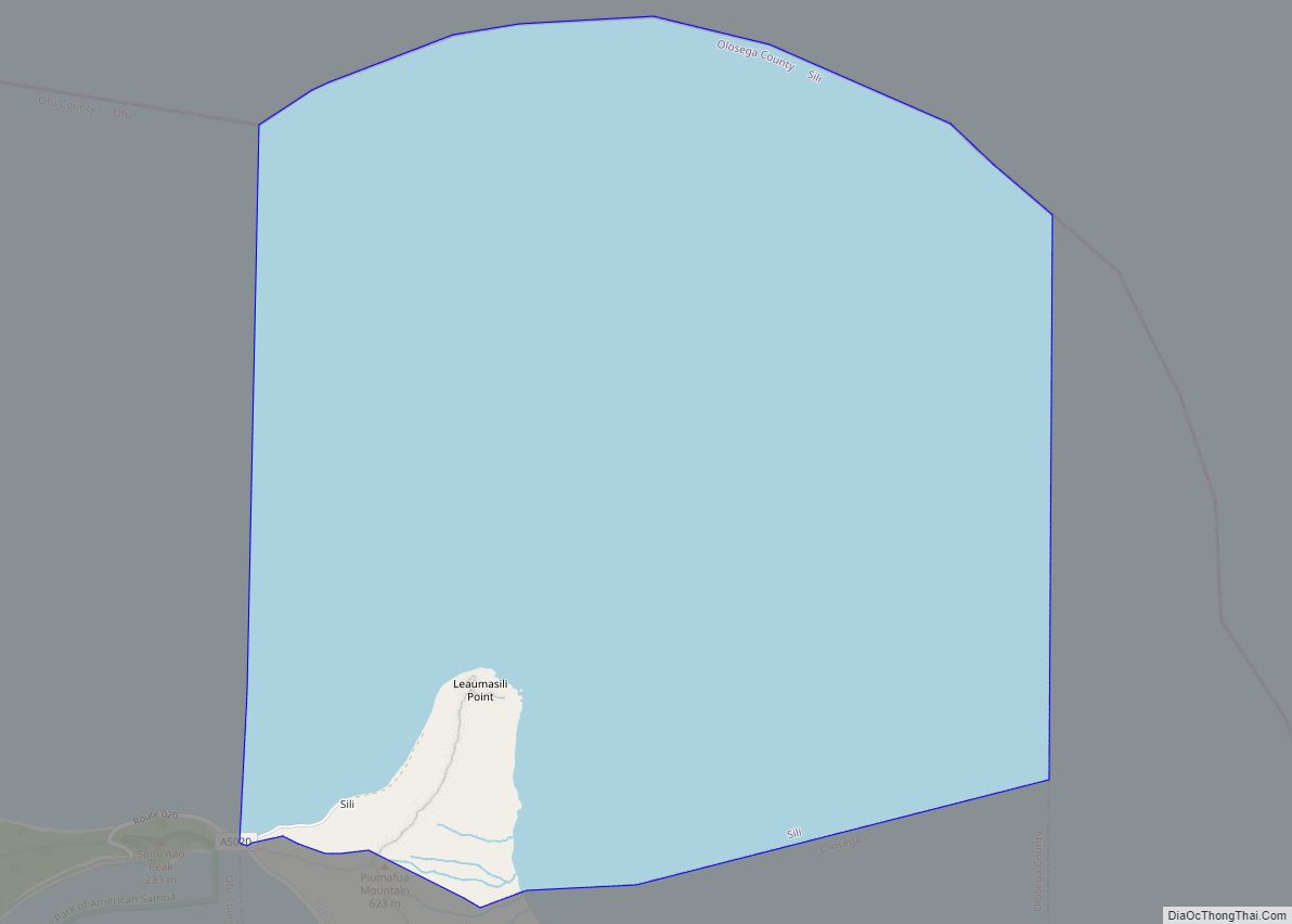
Sili village overview: Name: Sili village LSAD Code: 47 LSAD Description: village (suffix) State: American Samoa FIPS code: 6069700 Online Interactive Map Sili online map. Source: Basemap layers from Google Map, Open Street Map (OSM), Arcgisonline, Wmflabs. Boundary Data from Database of Global Administrative Areas. Sili location map. Where is Sili village? Sili Road Map ... Read more
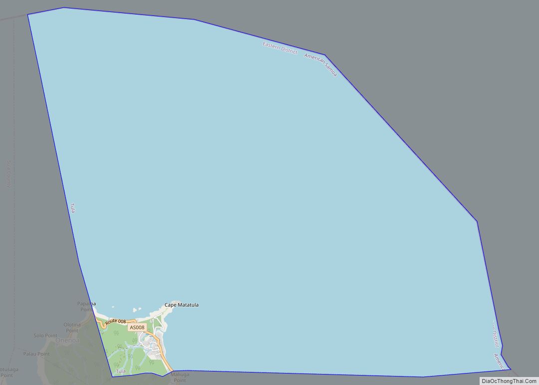
Tula village overview: Name: Tula village LSAD Code: 47 LSAD Description: village (suffix) State: American Samoa FIPS code: 6081700 Online Interactive Map Tula online map. Source: Basemap layers from Google Map, Open Street Map (OSM), Arcgisonline, Wmflabs. Boundary Data from Database of Global Administrative Areas. Tula location map. Where is Tula village? Tula Road Map ... Read more
Taputimu village overview: Name: Taputimu village LSAD Code: 47 LSAD Description: village (suffix) State: American Samoa FIPS code: 6076900 Online Interactive Map Taputimu online map. Source: Basemap layers from Google Map, Open Street Map (OSM), Arcgisonline, Wmflabs. Boundary Data from Database of Global Administrative Areas. Taputimu location map. Where is Taputimu village? Taputimu Road Map ... Read more
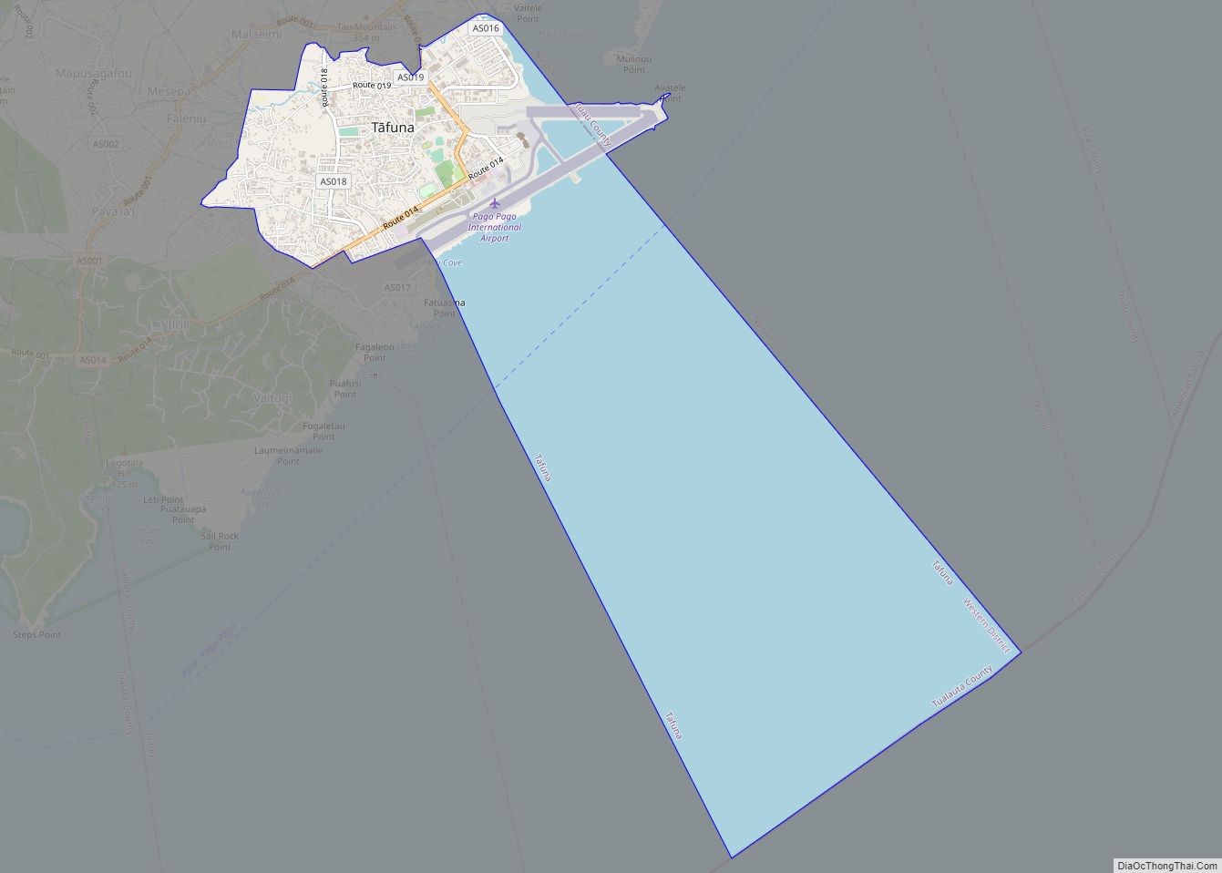
Tafuna village overview: Name: Tafuna village LSAD Code: 47 LSAD Description: village (suffix) State: American Samoa FIPS code: 6075300 Online Interactive Map Tafuna online map. Source: Basemap layers from Google Map, Open Street Map (OSM), Arcgisonline, Wmflabs. Boundary Data from Database of Global Administrative Areas. Tafuna location map. Where is Tafuna village? Tafuna Road Map ... Read more
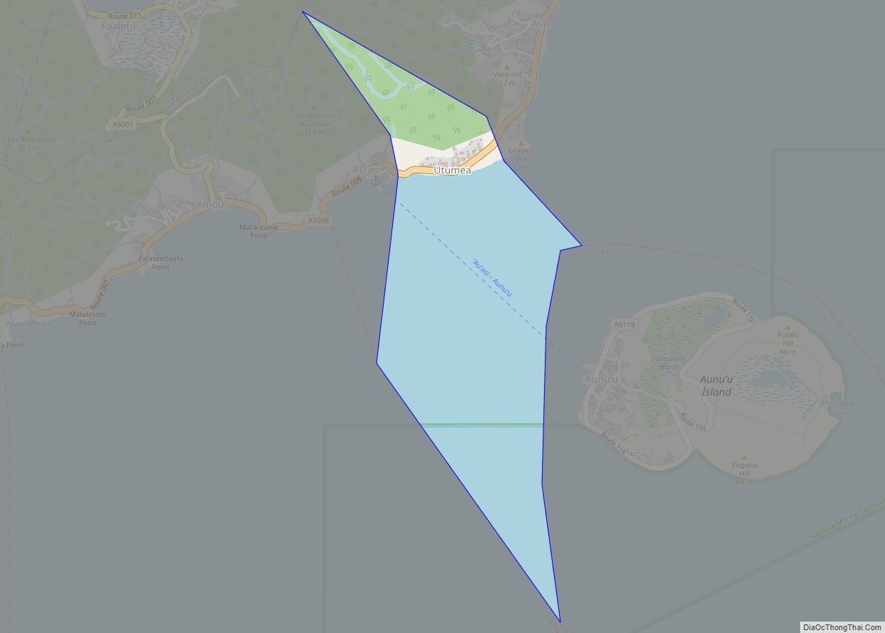
Utumea West village overview: Name: Utumea West village LSAD Code: 47 LSAD Description: village (suffix) State: American Samoa FIPS code: 6084100 Online Interactive Map Utumea West online map. Source: Basemap layers from Google Map, Open Street Map (OSM), Arcgisonline, Wmflabs. Boundary Data from Database of Global Administrative Areas. Utumea West location map. Where is Utumea ... Read more
Utumea East village overview: Name: Utumea East village LSAD Code: 47 LSAD Description: village (suffix) State: American Samoa FIPS code: 6083300 Online Interactive Map Utumea East online map. Source: Basemap layers from Google Map, Open Street Map (OSM), Arcgisonline, Wmflabs. Boundary Data from Database of Global Administrative Areas. Utumea East location map. Where is Utumea ... Read more
