Map of Tat Momoli CDP

Map of Tat Momoli CDP

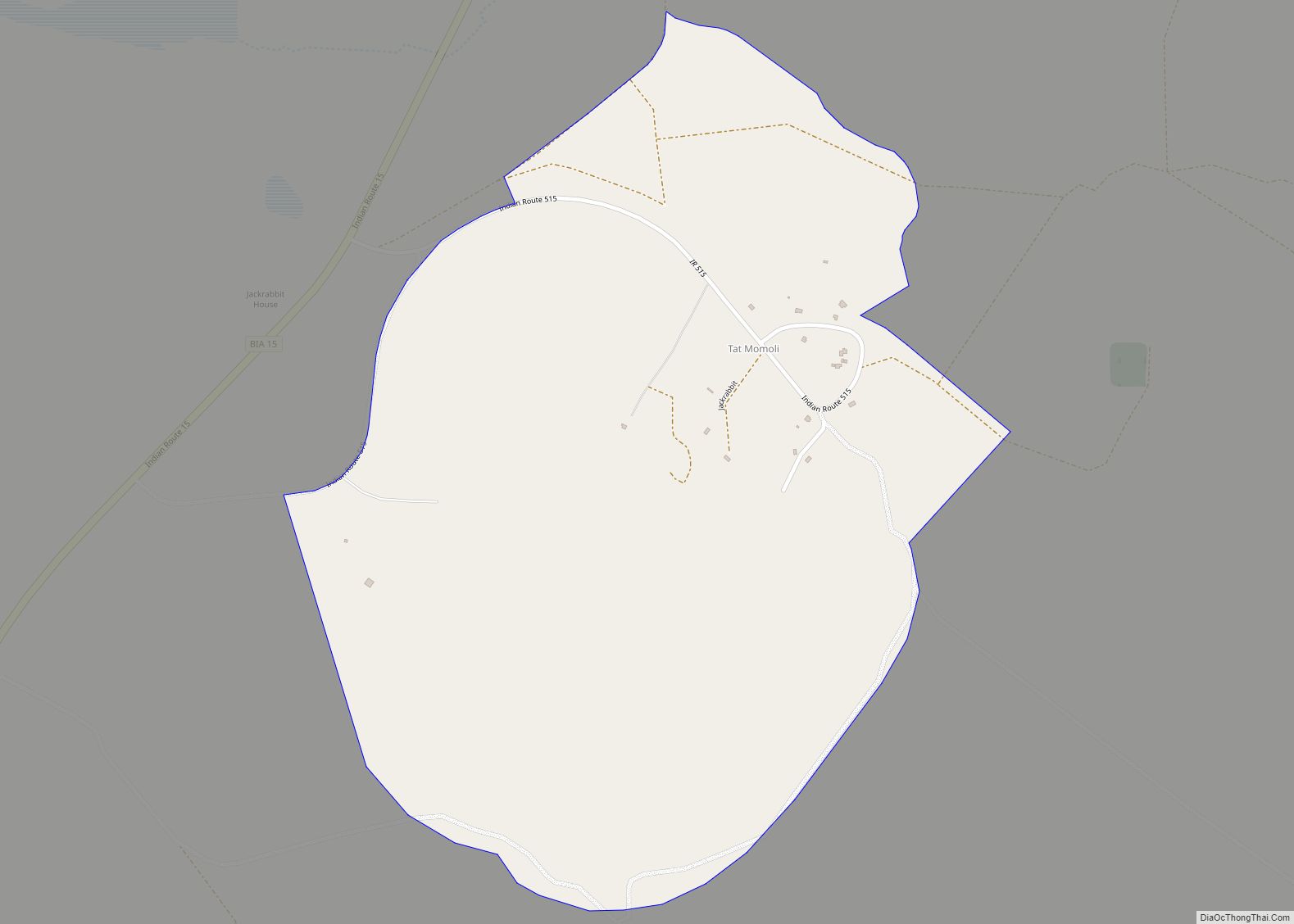
Tat Momoli (O’odham: Taḍ Memelkuḍ) is a census-designated place located in Pinal County, Arizona, United States, on the Tohono Oʼodham Indian Reservation. As of the Census of 2010 it had a population of 10 with a population density of 4.16 people per km. Tat Momoli CDP overview: Name: Tat Momoli CDP LSAD Code: 57 LSAD … Read more

Map of Theba CDP

Map of Theba CDP

Theba is an unincorporated community and census-designated place (CDP) in Maricopa County, Arizona, United States. Its elevation is 728 feet (222 m). Theba is located along Interstate 8 and is served by Exit 106. As of the 2020 census, it had a population of 111, down from 158 in 2010. The Rowley Mine, a private copper mine … Read more

Map of Thatcher town

Map of Thatcher town, Arizona

Thatcher is a town in Graham County, Arizona, United States. According to the 2010 Census, the population of the town is 4,865. It is part of the Safford Micropolitan Statistical Area. Thatcher is the home of Eastern Arizona College (EAC), a college that offers two year degrees and includes a nursing school. Thatcher town overview: … Read more

Map of Tees Toh CDP

Map of Tees Toh CDP

Tees Toh is a census-designated place in Navajo County, in the U.S. state of Arizona. The population was 448 at the 2010 census. Tees Toh CDP overview: Name: Tees Toh CDP LSAD Code: 57 LSAD Description: CDP (suffix) State: Arizona County: Navajo County Total Area: 17.00 sq mi (44.04 km²) Land Area: 17.00 sq mi (44.04 km²) Water Area: 0.00 sq mi (0.00 km²) … Read more

Map of Tolleson city

Map of Tolleson city

Tolleson /ˈtɒlɪsən/ is a city in Maricopa County, Arizona, United States. According to the U.S. Census Bureau, the population of the city was 7,216 as of the 2020 census, up from 6,545 in 2010. Tolleson city overview: Name: Tolleson city LSAD Code: 25 LSAD Description: city (suffix) State: Arizona County: Maricopa County Elevation: 1,014 ft (309 m) … Read more

Map of Tolani Lake CDP

Map of Tolani Lake CDP

Tolani Lake (Navajo: To’ne’heliih, meaning “Water Collecting in a Basin”) is a census-designated place in the eastern portion of Coconino County, Arizona, United States, near the Navajo County border. Tolani Lake is located north of Winslow. The population as of the 2010 U.S. Census was 280. Tolani Lake CDP overview: Name: Tolani Lake CDP LSAD … Read more

Map of Three Points CDP

Map of Three Points CDP

Three Points is a census-designated place (CDP) in Pima County, Arizona, United States. The population was 5,581 at the 2010 census. Three Points CDP overview: Name: Three Points CDP LSAD Code: 57 LSAD Description: CDP (suffix) State: Arizona County: Pima County Elevation: 2,543 ft (775 m) Total Area: 46.62 sq mi (120.73 km²) Land Area: 46.62 sq mi (120.73 km²) Water Area: 0.00 sq mi … Read more

Map of Tonopah CDP

Map of Tonopah CDP, Arizona

Tonopah /ˈtoʊnoʊˌpɑː/ is an unincorporated community and census-designated place (CDP) in western Maricopa County, Arizona, United States, 52 miles (84 km) west of downtown Phoenix off Interstate 10. The community is near the Palo Verde Nuclear Generating Station, the largest power producer in the country, nuclear or otherwise. As of the 2020 census, the population of … Read more

Map of Tonalea CDP

Map of Tonalea CDP

Tonalea (Navajo: Tó Nehelį́į́h) is a census-designated place (CDP) in Coconino County, Arizona, United States. The population was 549 at the 2010 census. It has also been known as Red Lake. Tonalea CDP overview: Name: Tonalea CDP LSAD Code: 57 LSAD Description: CDP (suffix) State: Arizona County: Coconino County Elevation: 5,650 ft (1,722 m) Total Area: 9.93 sq mi … Read more

Map of Tombstone city

Map of Tombstone city

Tombstone is a historic city in Cochise County, Arizona, United States, founded in 1879 by prospector Ed Schieffelin in what was then Pima County, Arizona Territory. It became one of the last boomtowns in the American frontier. The town grew significantly into the mid-1880s as the local mines produced $40 to $85 million in silver … Read more

Map of Top-of-the-World CDP

Map of Top-of-the-World CDP

Top-of-the-World is a census-designated place (CDP) in Gila and Pinal counties in the U.S. state of Arizona. The population was 231 at the 2010 census, down from 330 at the 2000 census. Top-of-the-World CDP overview: Name: Top-of-the-World CDP LSAD Code: 57 LSAD Description: CDP (suffix) State: Arizona County: Gila County, Pinal County Elevation: 4,528 ft (1,380 m) … Read more

Map of Tonto Village CDP

Map of Tonto Village CDP

Tonto Village is a census-designated place (CDP) in Gila County, Arizona, United States. The population was 256 at the 2010 United States Census. Tonto Village CDP overview: Name: Tonto Village CDP LSAD Code: 57 LSAD Description: CDP (suffix) State: Arizona County: Gila County Elevation: 5,720 ft (1,740 m) Total Area: 0.33 sq mi (0.87 km²) Land Area: 0.33 sq mi (0.87 km²) Water … Read more