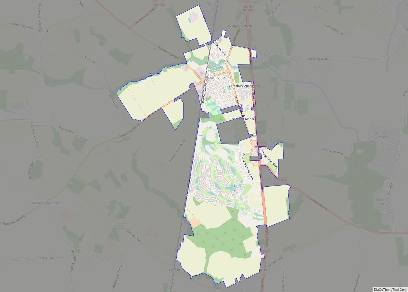
Bridgeville is a town in Sussex County, Delaware, United States. According to the 2010 census, the population is 2,048, an increase of 42.6% from the previous decade. It is part of the Salisbury, Maryland-Delaware Metropolitan Statistical Area. Bridgeville town overview: Name: Bridgeville town LSAD Code: 43 LSAD Description: town (suffix) State: Delaware County: Sussex County ... Read more
Delaware Cities and Places
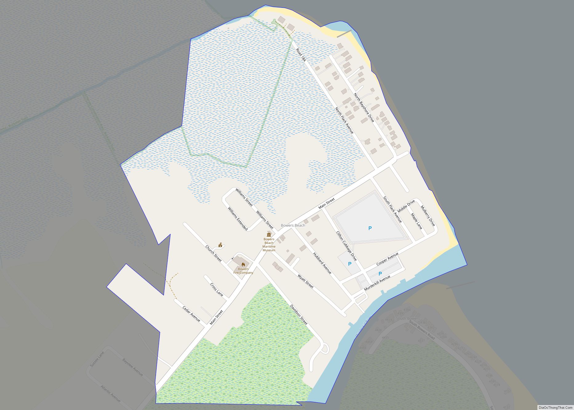
Bowers (commonly known as Bowers Beach) is a town in Kent County, Delaware, United States. It is part of the Dover, Delaware Metropolitan Statistical Area. According to the 2020 census, its population was 278. Bowers town overview: Name: Bowers town LSAD Code: 43 LSAD Description: town (suffix) State: Delaware County: Kent County Elevation: 3 ft (0.9 m) ... Read more
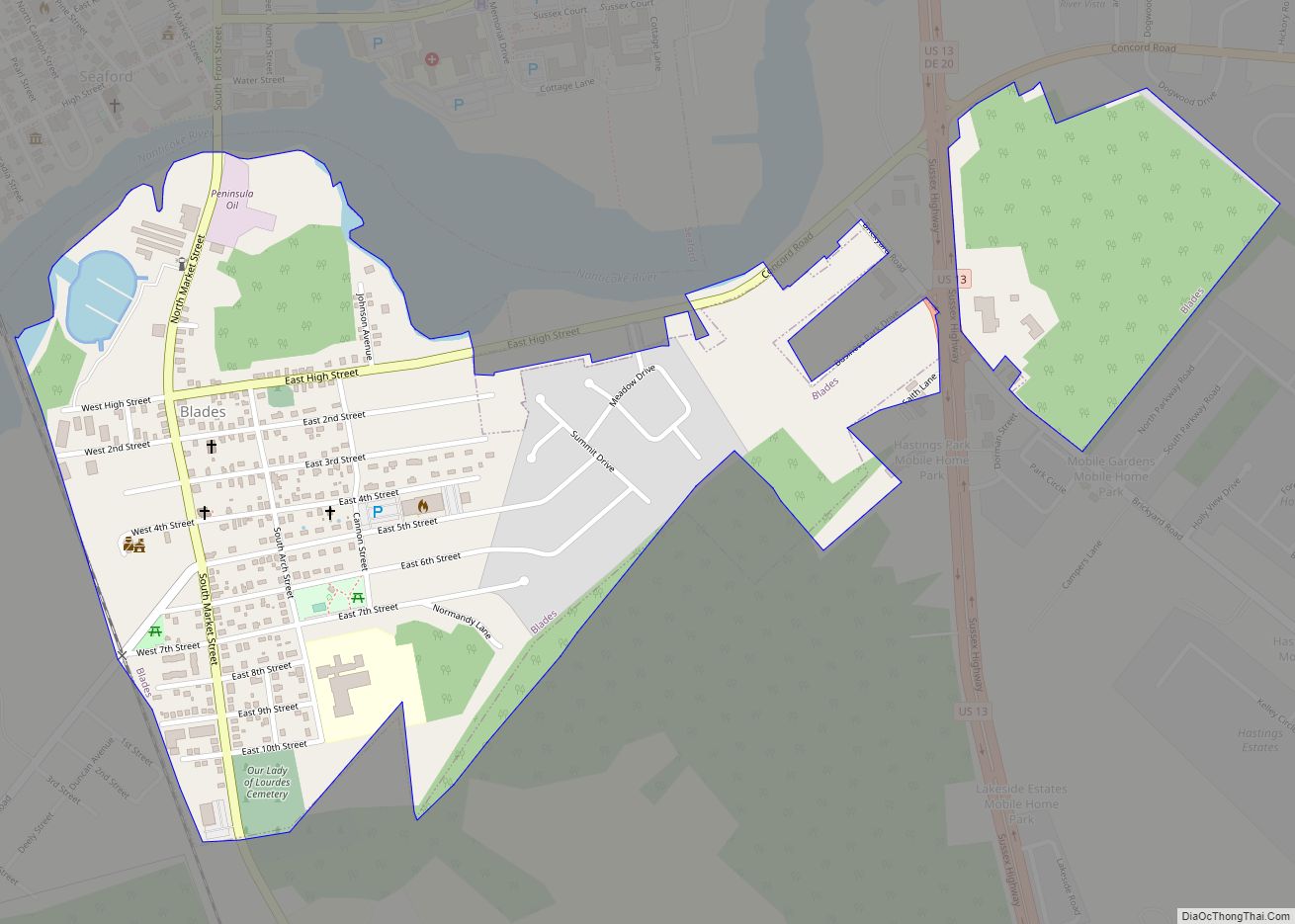
Blades is a town in Sussex County, Delaware, United States. As of the 2010 census, the town population was 1,241, a 29.8% increase over the previous decade. It is part of the Salisbury, Maryland-Delaware Metropolitan Statistical Area. Blades town overview: Name: Blades town LSAD Code: 43 LSAD Description: town (suffix) State: Delaware County: Sussex County ... Read more
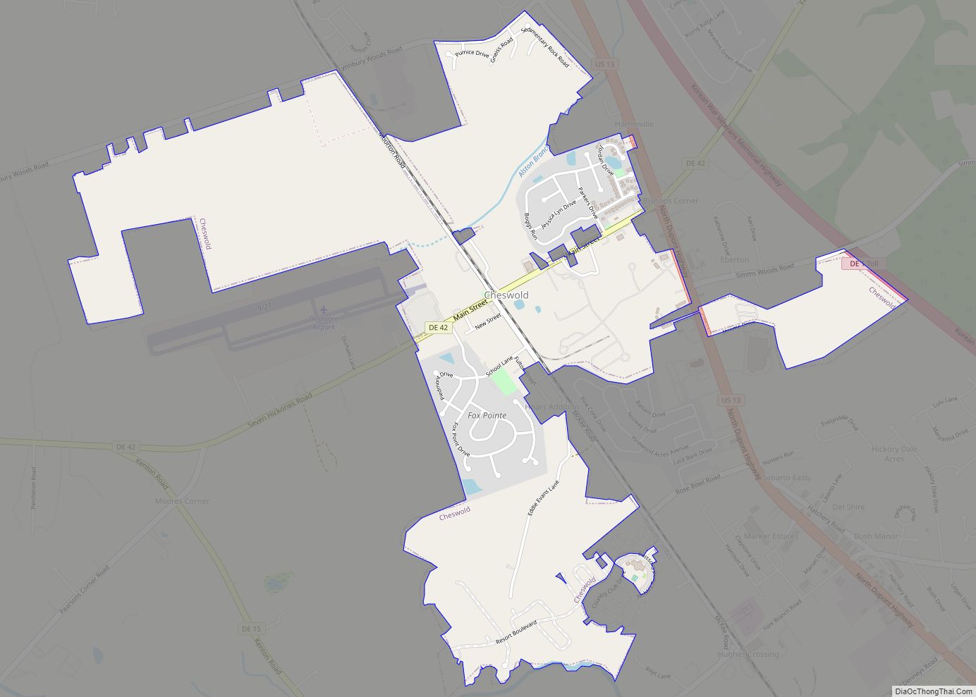
Cheswold is a town in Kent County in the U.S. state of Delaware. It is part of the Dover, Delaware Metropolitan Statistical Area. The population was 1,923 in 2020. Cheswold town overview: Name: Cheswold town LSAD Code: 43 LSAD Description: town (suffix) State: Delaware County: Kent County Elevation: 36 ft (11 m) Total Area: 1.84 sq mi (4.76 km²) Land ... Read more
Camden is a town in Kent County, Delaware, United States. It is part of the Dover, Delaware Metropolitan Statistical Area. The population was 3,715 in 2020. Camden town overview: Name: Camden town LSAD Code: 43 LSAD Description: town (suffix) State: Delaware County: Kent County Elevation: 39 ft (12 m) Total Area: 3.75 sq mi (9.70 km²) Land Area: 3.75 sq mi (9.70 km²) ... Read more
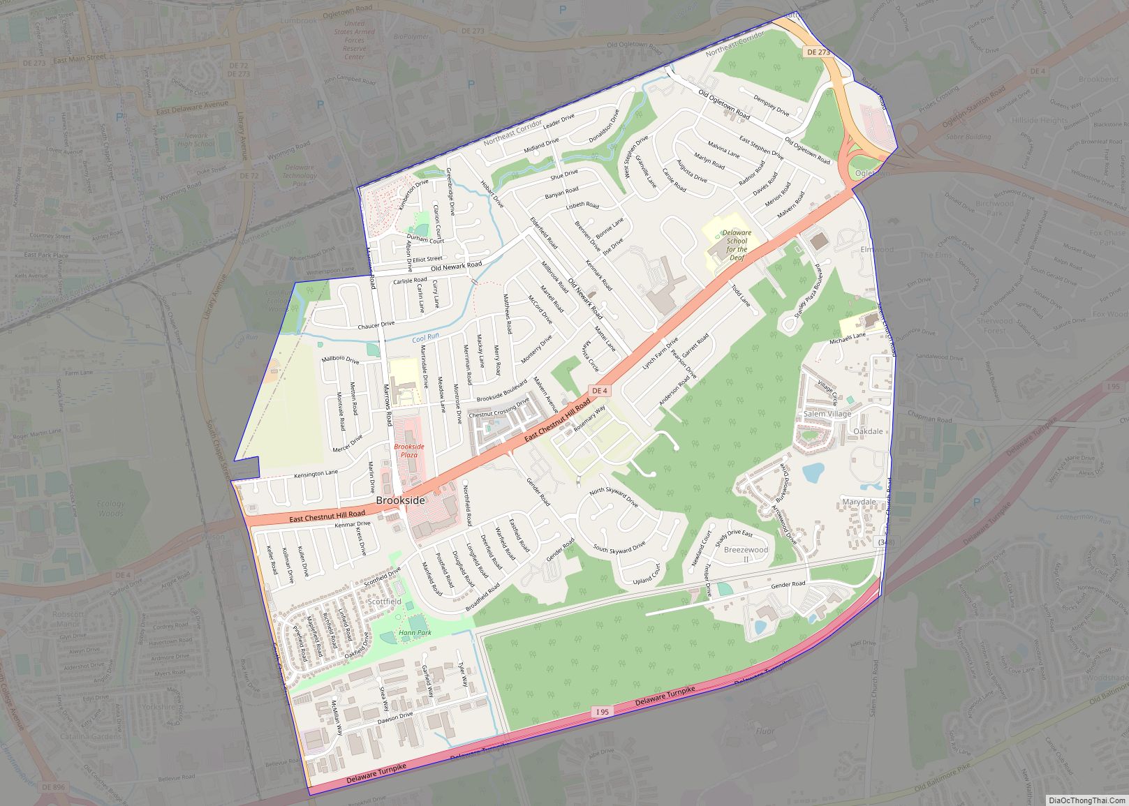
Brookside is a census-designated place (CDP) in New Castle County, Delaware, United States. The population was 14,353 at the 2010 census. Brookside CDP overview: Name: Brookside CDP LSAD Code: 57 LSAD Description: CDP (suffix) State: Delaware County: New Castle County Elevation: 75 ft (23 m) Total Area: 3.89 sq mi (10.07 km²) Land Area: 3.88 sq mi (10.05 km²) Water Area: 0.01 sq mi (0.01 km²) ... Read more
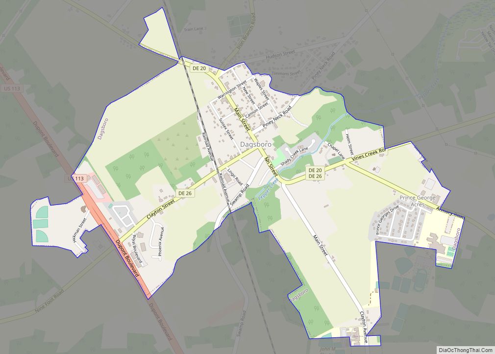
Dagsboro is a town in Sussex County, Delaware, United States. The population was 805 at the 2010 census. It is part of the Salisbury, Maryland-Delaware Metropolitan Statistical Area. Dagsboro town overview: Name: Dagsboro town LSAD Code: 43 LSAD Description: town (suffix) State: Delaware County: Sussex County Elevation: 26 ft (8 m) Total Area: 1.44 sq mi (3.73 km²) Land Area: ... Read more
Clayton is a town in Kent and New Castle counties in the U.S. state of Delaware. Located almost entirely in Kent County, it is part of the Dover, Delaware Metropolitan Statistical Area. The population was 2,918 at the 2010 census. Clayton town overview: Name: Clayton town LSAD Code: 43 LSAD Description: town (suffix) State: Delaware ... Read more
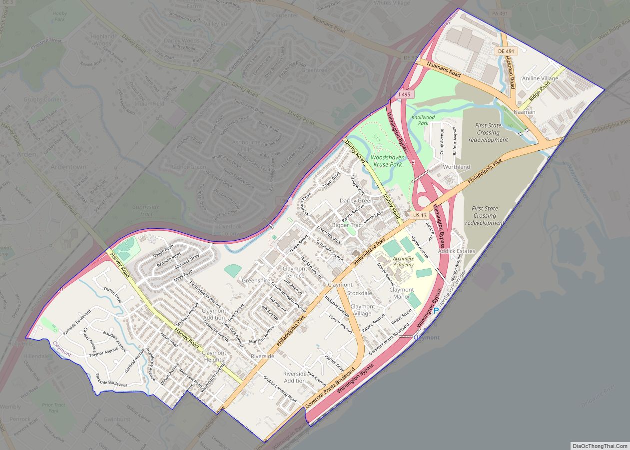
Claymont is a census-designated place (CDP) in New Castle County, Delaware. The estimated 2017 population of the 19703 ZIP code, which Claymont encompasses, was 15,292. Claymont CDP overview: Name: Claymont CDP LSAD Code: 57 LSAD Description: CDP (suffix) State: Delaware County: New Castle County Elevation: 75 ft (23 m) Total Area: 2.15 sq mi (5.57 km²) Land Area: 2.15 sq mi (5.57 km²) ... Read more
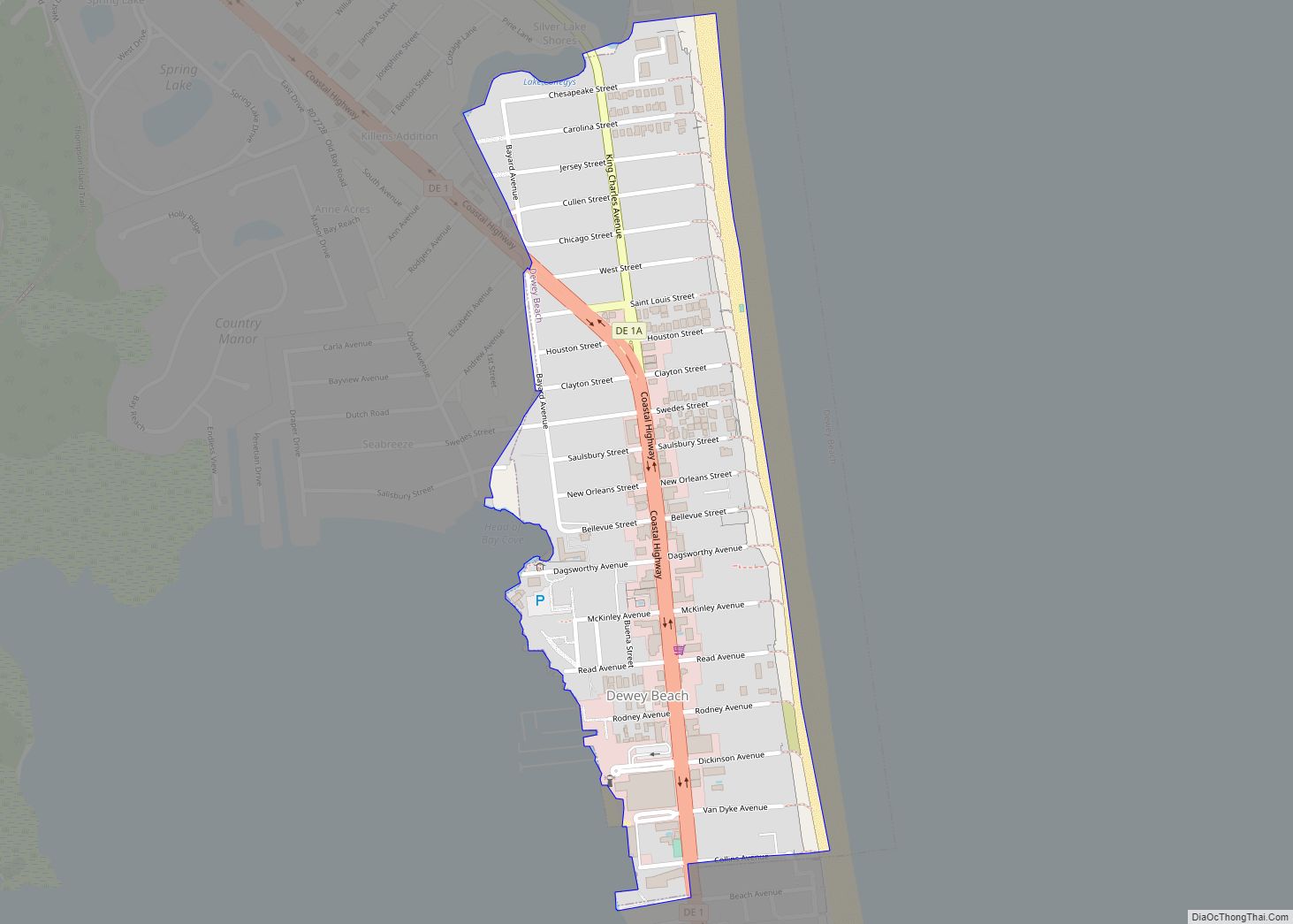
Dewey Beach is an incorporated coastal town in eastern Sussex County, Delaware, United States. According to the 2010 census, the population of the town is 341, an increase of 13.3% over the previous decade. It is part of the rapidly growing Cape Region and lies within the Salisbury, Maryland-Delaware Metropolitan Statistical Area. In 2011, the ... Read more
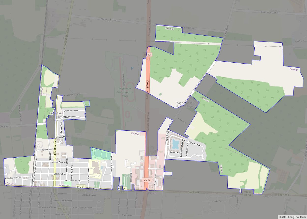
Delmar is a town in Sussex County, Delaware, United States, on the Maryland border along the Transpeninsular Line. Its motto is “The Little Town Too Big for One State.” The population was 1,597 at the 2010 census, an increase of 13.5% over the previous decade. It is part of the Salisbury, Maryland-Delaware Metropolitan Statistical Area ... Read more
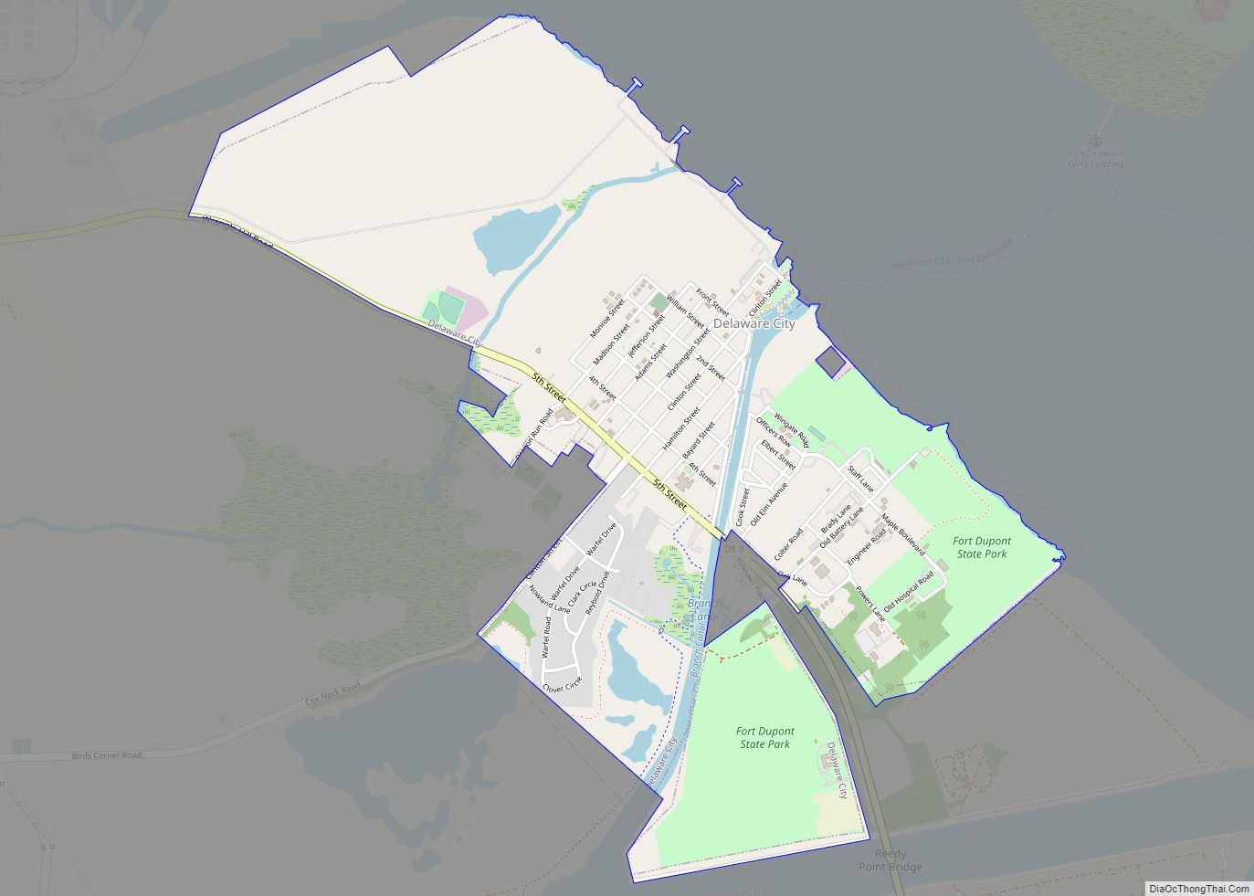
Delaware City is a city in New Castle County, Delaware, United States. The population was 1,885 as of 2020. It is a small port town on the eastern terminus of the Chesapeake and Delaware Canal and is the location of the Forts Ferry Crossing to Fort Delaware on Pea Patch Island. Delaware City city overview: ... Read more
