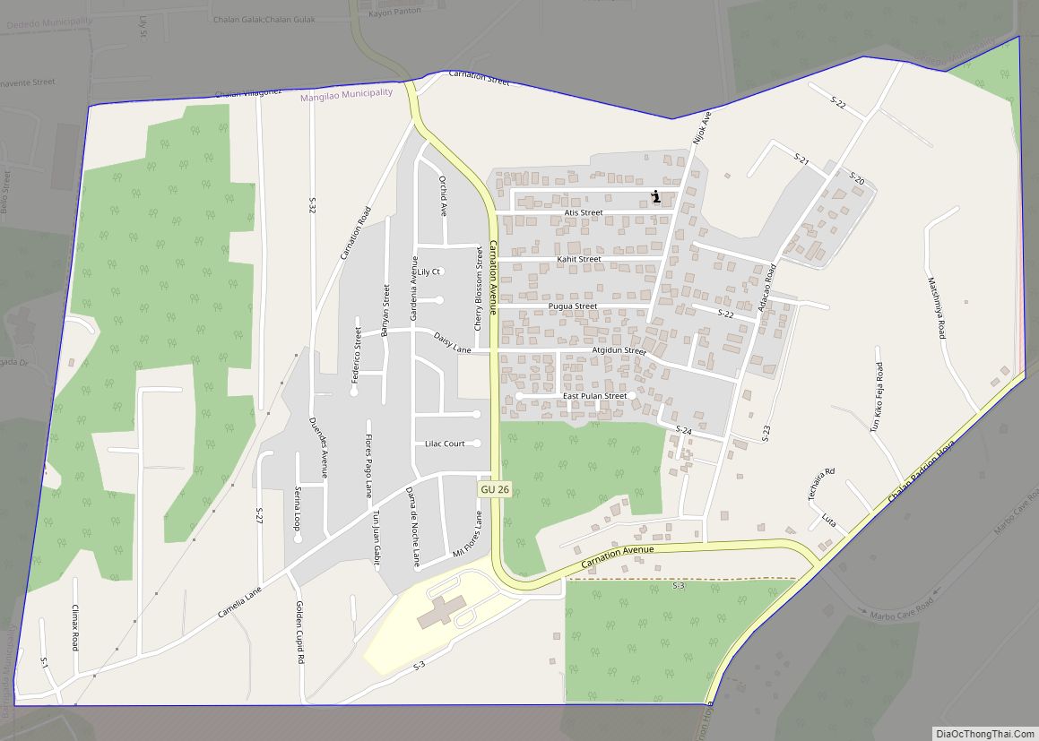
Adacao CDP overview: Name: Adacao CDP LSAD Code: 57 LSAD Description: CDP (suffix) State: Guam FIPS code: 6600100 Online Interactive Map Adacao online map. Source: Basemap layers from Google Map, Open Street Map (OSM), Arcgisonline, Wmflabs. Boundary Data from Database of Global Administrative Areas. Adacao location map. Where is Adacao CDP? Adacao Road Map Adacao ... Read more
Guam Cities and Places
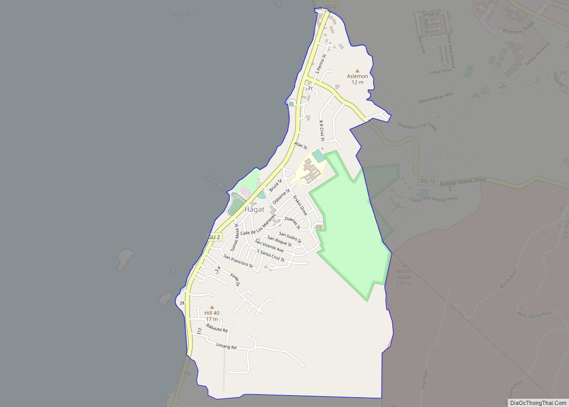
Agat CDP overview: Name: Agat CDP LSAD Code: 57 LSAD Description: CDP (suffix) State: Guam FIPS code: 6606600 Online Interactive Map Agat online map. Source: Basemap layers from Google Map, Open Street Map (OSM), Arcgisonline, Wmflabs. Boundary Data from Database of Global Administrative Areas. Agat location map. Where is Agat CDP? Agat Road Map Agat ... Read more
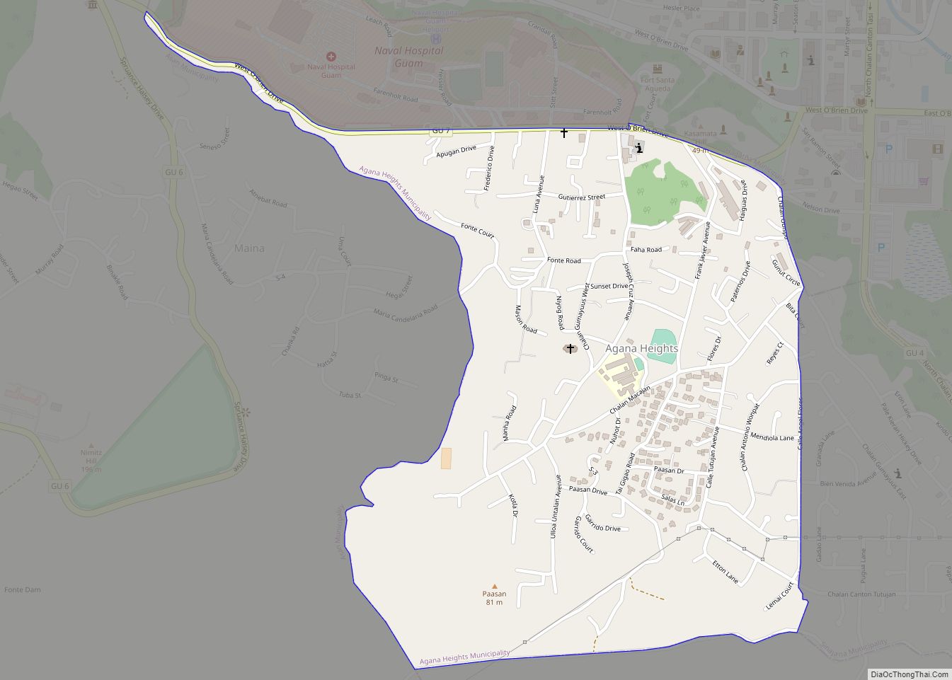
Agana Heights CDP overview: Name: Agana Heights CDP LSAD Code: 57 LSAD Description: CDP (suffix) State: Guam FIPS code: 6604000 Online Interactive Map Agana Heights online map. Source: Basemap layers from Google Map, Open Street Map (OSM), Arcgisonline, Wmflabs. Boundary Data from Database of Global Administrative Areas. Agana Heights location map. Where is Agana Heights ... Read more
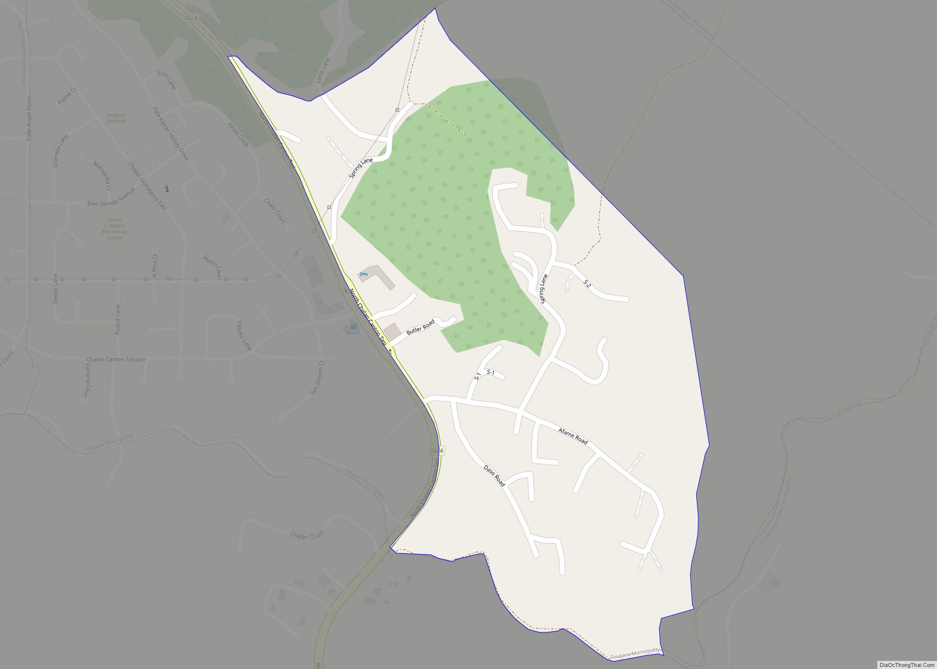
Afame CDP overview: Name: Afame CDP LSAD Code: 57 LSAD Description: CDP (suffix) State: Guam FIPS code: 6600850 Online Interactive Map Afame online map. Source: Basemap layers from Google Map, Open Street Map (OSM), Arcgisonline, Wmflabs. Boundary Data from Database of Global Administrative Areas. Afame location map. Where is Afame CDP? Afame Road Map Afame ... Read more
Anao CDP overview: Name: Anao CDP LSAD Code: 57 LSAD Description: CDP (suffix) State: Guam FIPS code: 6607600 Online Interactive Map Anao online map. Source: Basemap layers from Google Map, Open Street Map (OSM), Arcgisonline, Wmflabs. Boundary Data from Database of Global Administrative Areas. Anao location map. Where is Anao CDP? Anao Road Map Anao ... Read more
Apotgan CDP overview: Name: Apotgan CDP LSAD Code: 57 LSAD Description: CDP (suffix) State: Guam FIPS code: 6609500 Online Interactive Map Apotgan online map. Source: Basemap layers from Google Map, Open Street Map (OSM), Arcgisonline, Wmflabs. Boundary Data from Database of Global Administrative Areas. Apotgan location map. Where is Apotgan CDP? Apotgan Road Map Apotgan ... Read more
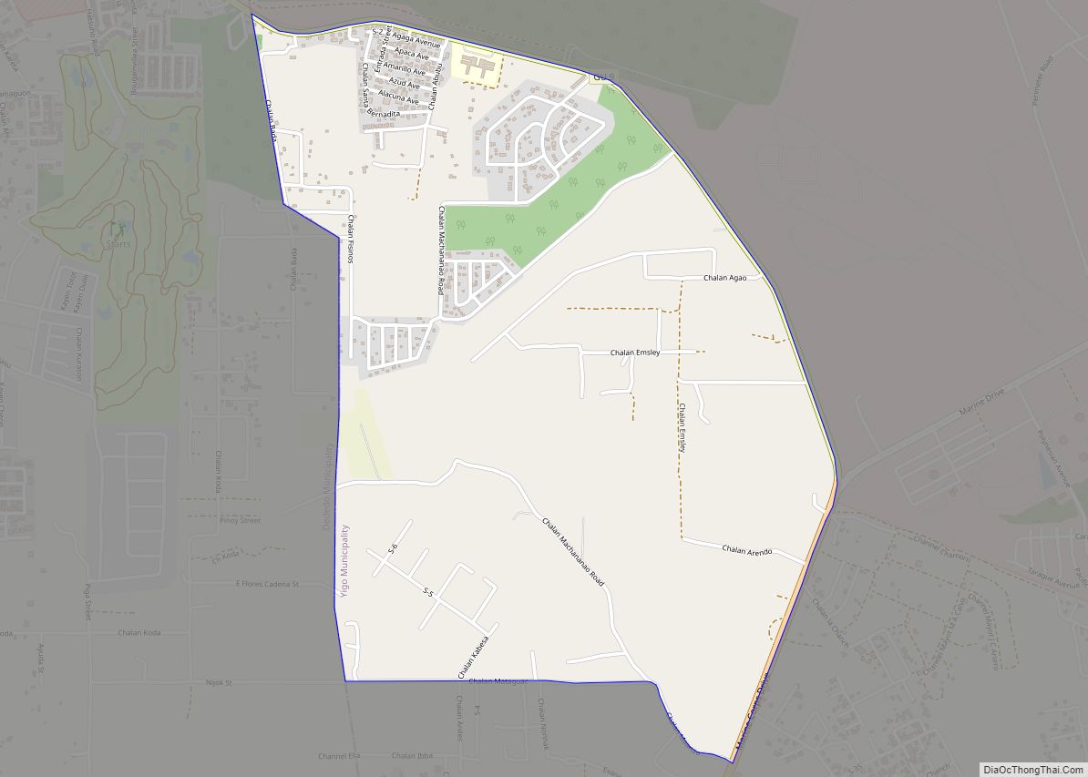
Andersen AFB CDP overview: Name: Andersen AFB CDP LSAD Code: 57 LSAD Description: CDP (suffix) State: Guam FIPS code: 6607900 Online Interactive Map Andersen AFB online map. Source: Basemap layers from Google Map, Open Street Map (OSM), Arcgisonline, Wmflabs. Boundary Data from Database of Global Administrative Areas. Andersen AFB location map. Where is Andersen AFB ... Read more
Astumbo CDP overview: Name: Astumbo CDP LSAD Code: 57 LSAD Description: CDP (suffix) State: Guam FIPS code: 6615800 Online Interactive Map Astumbo online map. Source: Basemap layers from Google Map, Open Street Map (OSM), Arcgisonline, Wmflabs. Boundary Data from Database of Global Administrative Areas. Astumbo location map. Where is Astumbo CDP? Astumbo Road Map Astumbo ... Read more
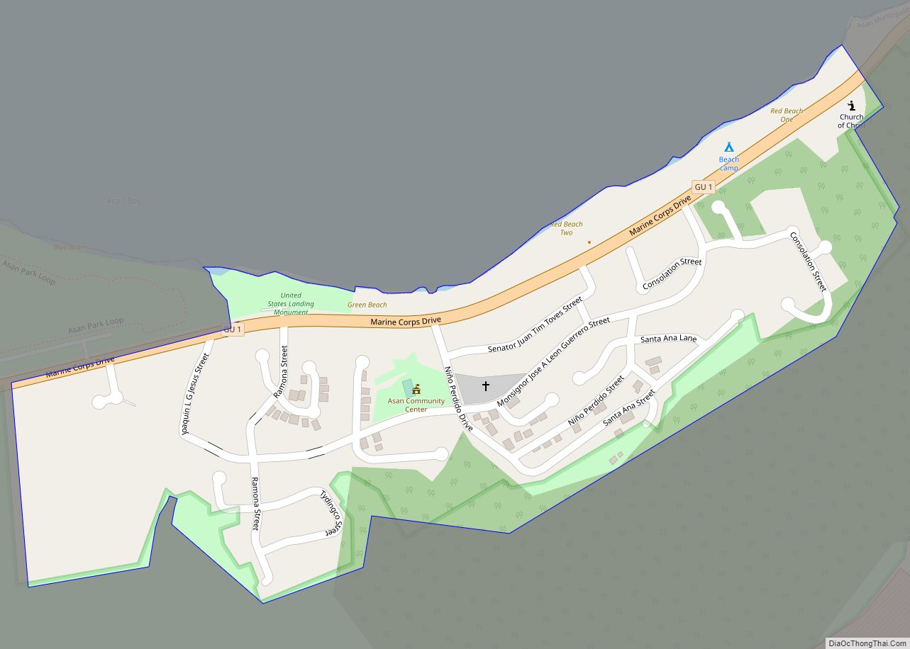
Asan CDP overview: Name: Asan CDP LSAD Code: 57 LSAD Description: CDP (suffix) State: Guam FIPS code: 6612450 Online Interactive Map Asan online map. Source: Basemap layers from Google Map, Open Street Map (OSM), Arcgisonline, Wmflabs. Boundary Data from Database of Global Administrative Areas. Asan location map. Where is Asan CDP? Asan Road Map Asan ... Read more
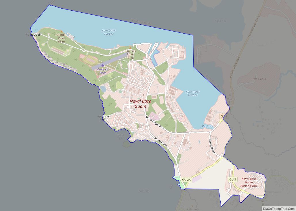
Apra Harbor CDP overview: Name: Apra Harbor CDP LSAD Code: 57 LSAD Description: CDP (suffix) State: Guam FIPS code: 6609850 Online Interactive Map Apra Harbor online map. Source: Basemap layers from Google Map, Open Street Map (OSM), Arcgisonline, Wmflabs. Boundary Data from Database of Global Administrative Areas. Apra Harbor location map. Where is Apra Harbor ... Read more
Chaguian CDP overview: Name: Chaguian CDP LSAD Code: 57 LSAD Description: CDP (suffix) State: Guam FIPS code: 6624500 Online Interactive Map Chaguian online map. Source: Basemap layers from Google Map, Open Street Map (OSM), Arcgisonline, Wmflabs. Boundary Data from Database of Global Administrative Areas. Chaguian location map. Where is Chaguian CDP? Chaguian Road Map Chaguian ... Read more
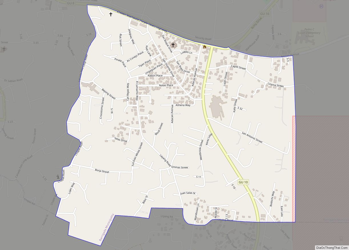
Barrigada CDP overview: Name: Barrigada CDP LSAD Code: 57 LSAD Description: CDP (suffix) State: Guam FIPS code: 6617000 Online Interactive Map Barrigada online map. Source: Basemap layers from Google Map, Open Street Map (OSM), Arcgisonline, Wmflabs. Boundary Data from Database of Global Administrative Areas. Barrigada location map. Where is Barrigada CDP? Barrigada Road Map Barrigada ... Read more
