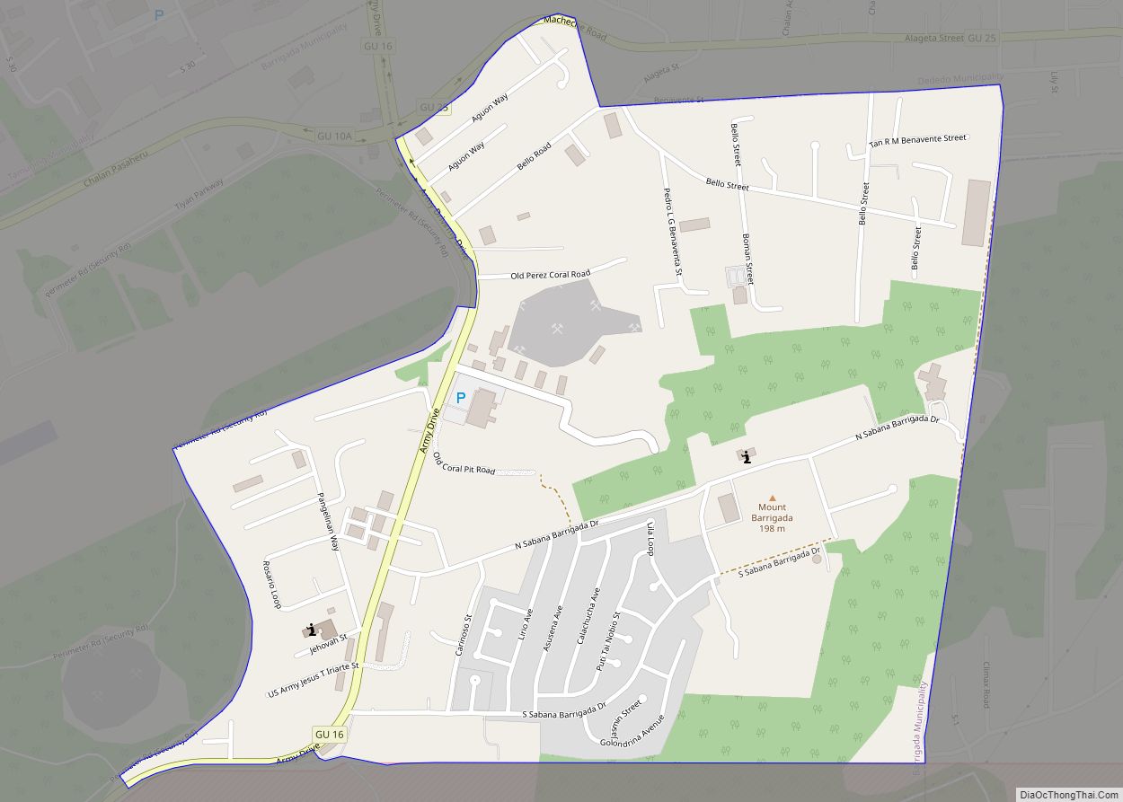
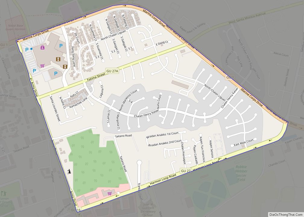
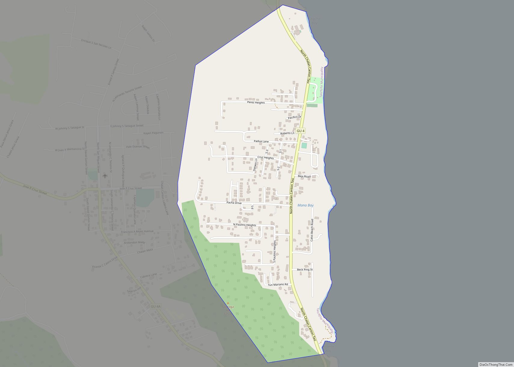
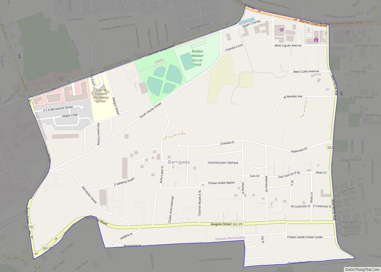
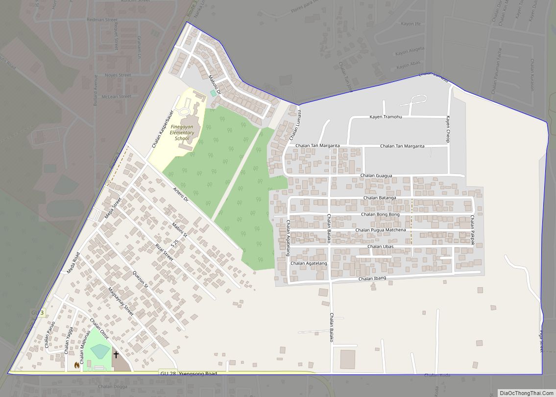
Barrigada Heights CDP overview: Name: Barrigada Heights CDP LSAD Code: 57 LSAD Description: CDP (suffix) State: Guam FIPS code: 6618300 Online Interactive Map Barrigada Heights online map. Source: Basemap layers from Google Map, Open Street Map (OSM), Arcgisonline, Wmflabs. Boundary Data from Database of Global Administrative Areas. Barrigada Heights location map. Where is Barrigada Heights ... Read more
Guam Cities and Places
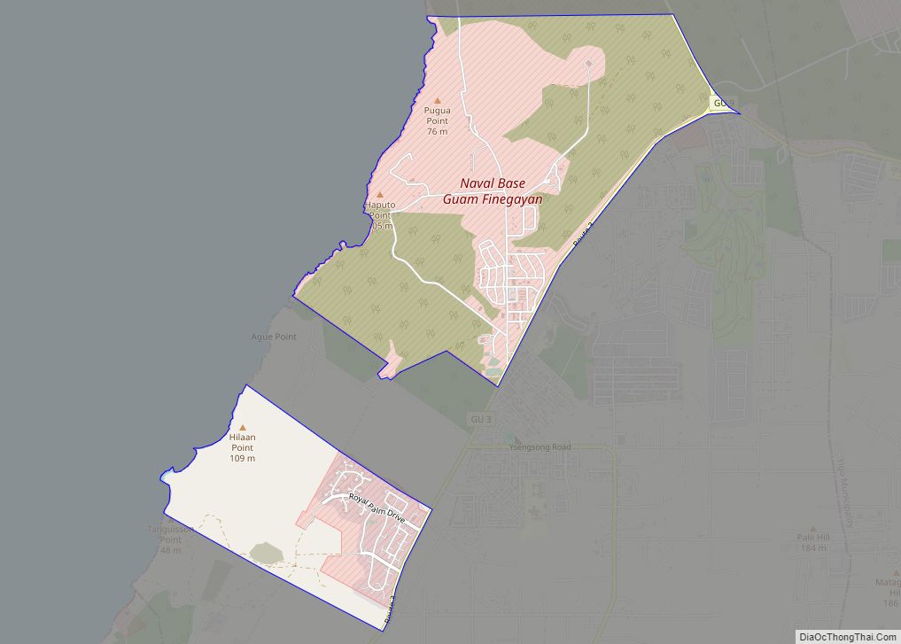
Finegayan Station CDP overview: Name: Finegayan Station CDP LSAD Code: 57 LSAD Description: CDP (suffix) State: Guam FIPS code: 6629350 Online Interactive Map Finegayan Station online map. Source: Basemap layers from Google Map, Open Street Map (OSM), Arcgisonline, Wmflabs. Boundary Data from Database of Global Administrative Areas. Finegayan Station location map. Where is Finegayan Station ... Read more
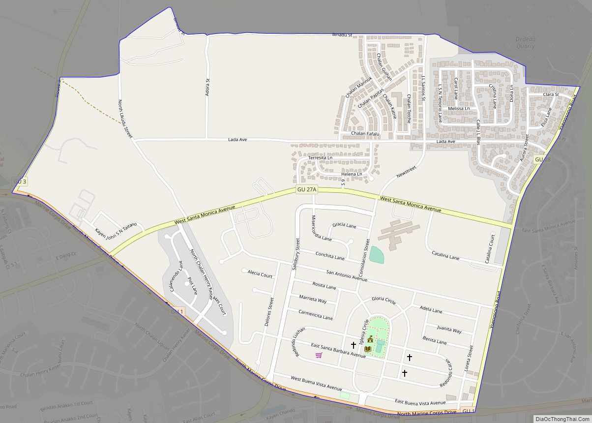
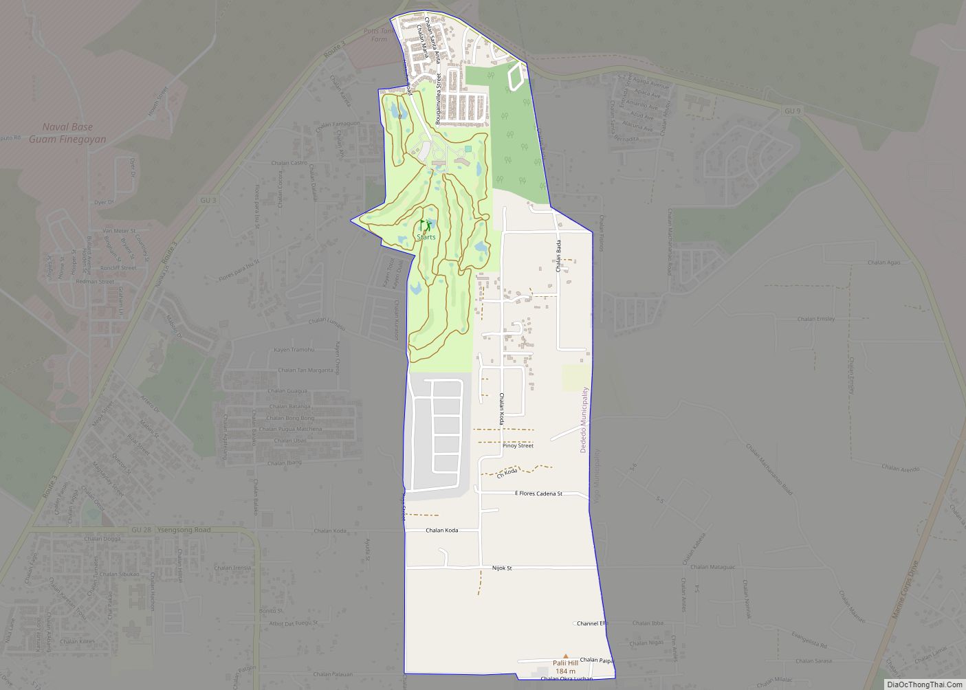
Dededo CDP overview: Name: Dededo CDP LSAD Code: 57 LSAD Description: CDP (suffix) State: Guam FIPS code: 6627400 Online Interactive Map Dededo online map. Source: Basemap layers from Google Map, Open Street Map (OSM), Arcgisonline, Wmflabs. Boundary Data from Database of Global Administrative Areas. Dededo location map. Where is Dededo CDP? Dededo Road Map Dededo ... Read more
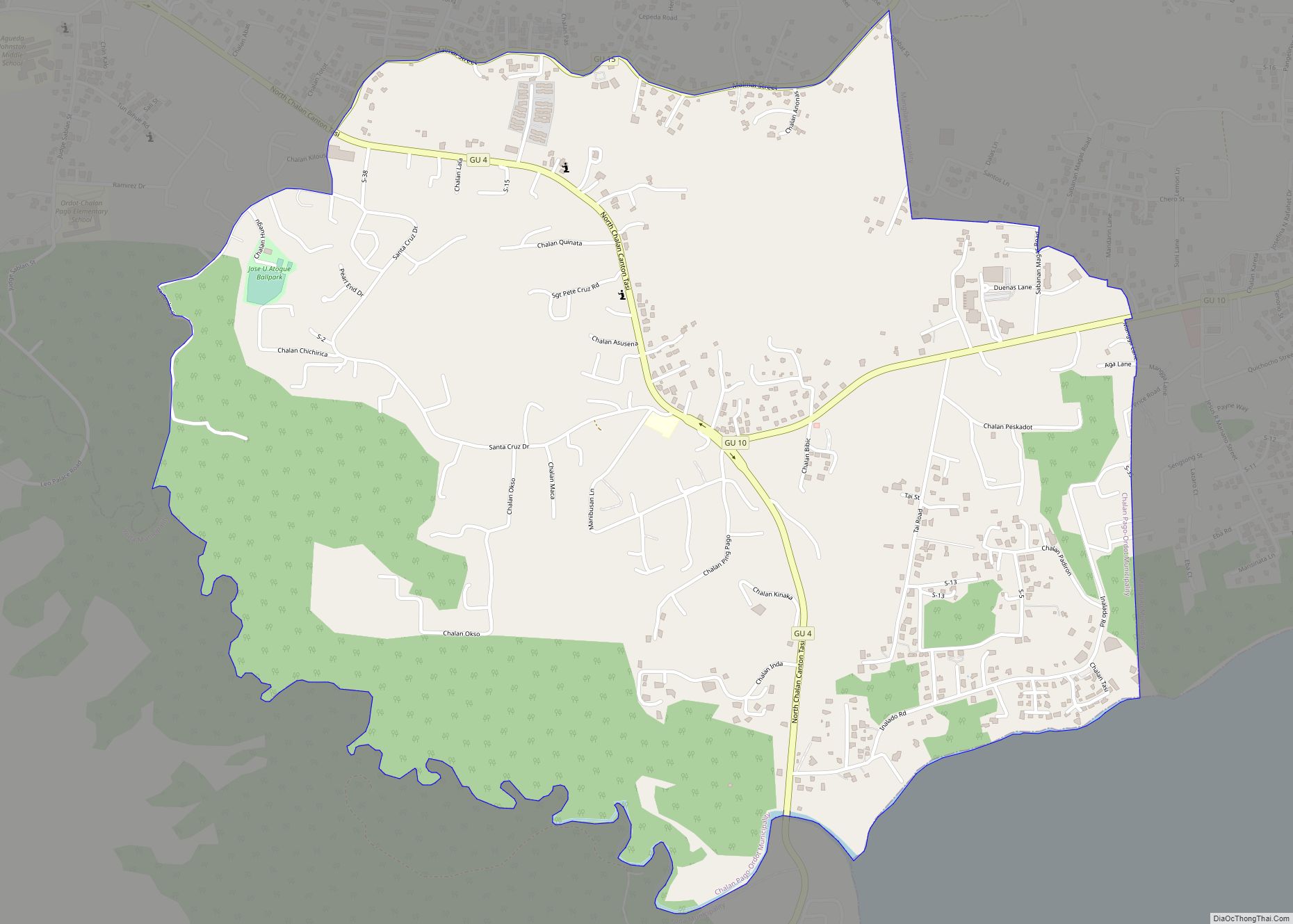
Chalan Pago CDP overview: Name: Chalan Pago CDP LSAD Code: 57 LSAD Description: CDP (suffix) State: Guam FIPS code: 6625450 Online Interactive Map Chalan Pago online map. Source: Basemap layers from Google Map, Open Street Map (OSM), Arcgisonline, Wmflabs. Boundary Data from Database of Global Administrative Areas. Chalan Pago location map. Where is Chalan Pago ... Read more
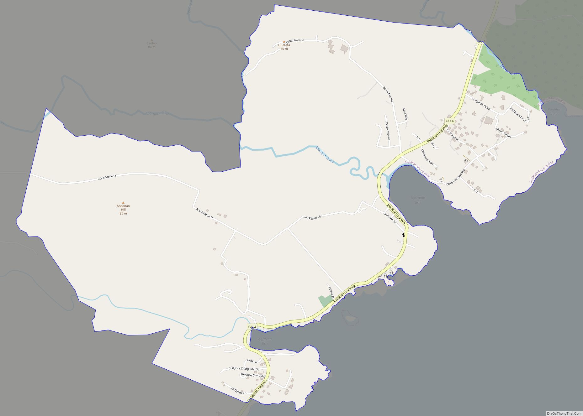
Inarajan CDP overview: Name: Inarajan CDP LSAD Code: 57 LSAD Description: CDP (suffix) State: Guam FIPS code: 6635850 Online Interactive Map Inarajan online map. Source: Basemap layers from Google Map, Open Street Map (OSM), Arcgisonline, Wmflabs. Boundary Data from Database of Global Administrative Areas. Inarajan location map. Where is Inarajan CDP? Inarajan Road Map Inarajan ... Read more
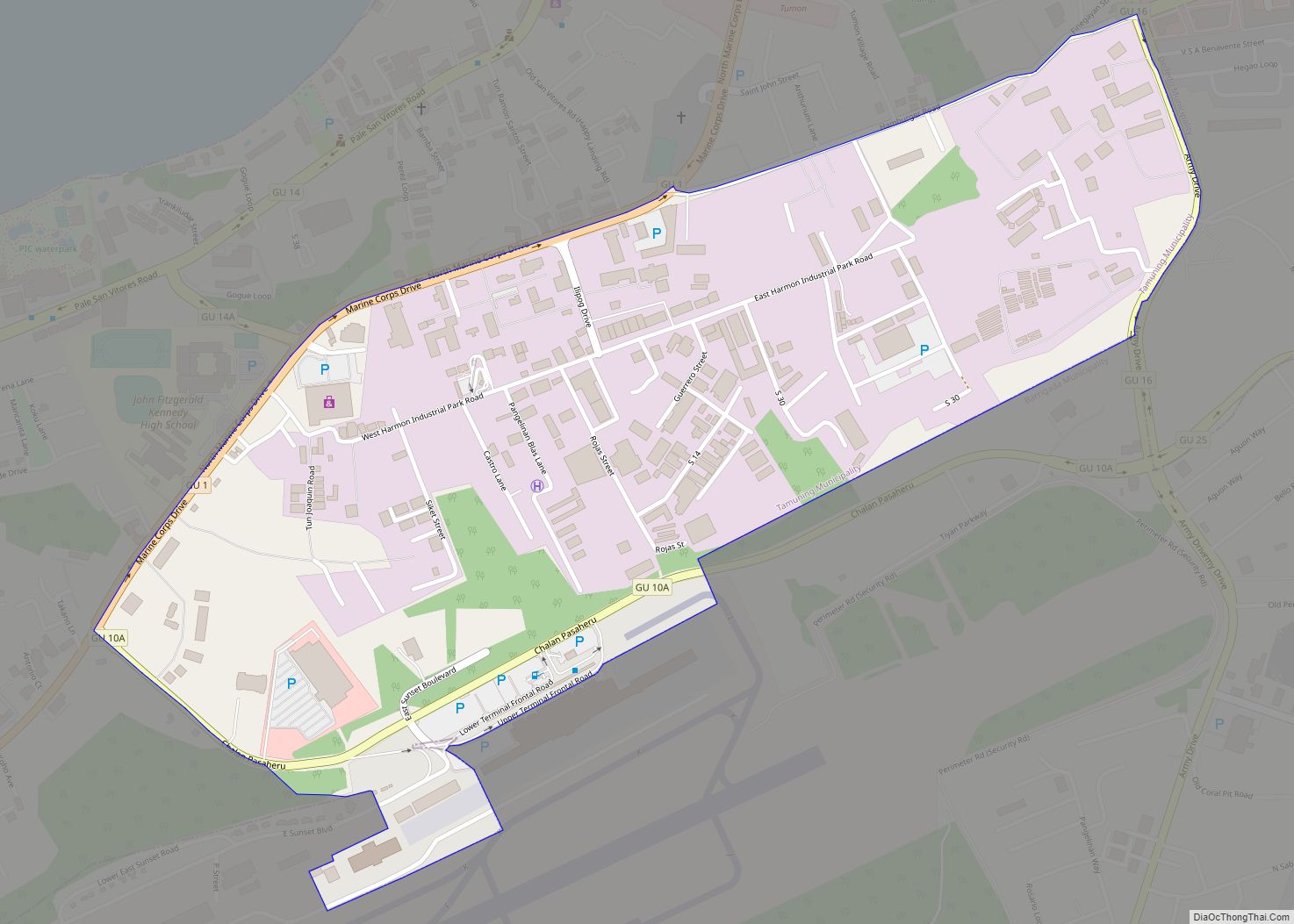
Harmon Industrial Park CDP overview: Name: Harmon Industrial Park CDP LSAD Code: 57 LSAD Description: CDP (suffix) State: Guam FIPS code: 6635000 Online Interactive Map Harmon Industrial Park online map. Source: Basemap layers from Google Map, Open Street Map (OSM), Arcgisonline, Wmflabs. Boundary Data from Database of Global Administrative Areas. Harmon Industrial Park location map. ... Read more
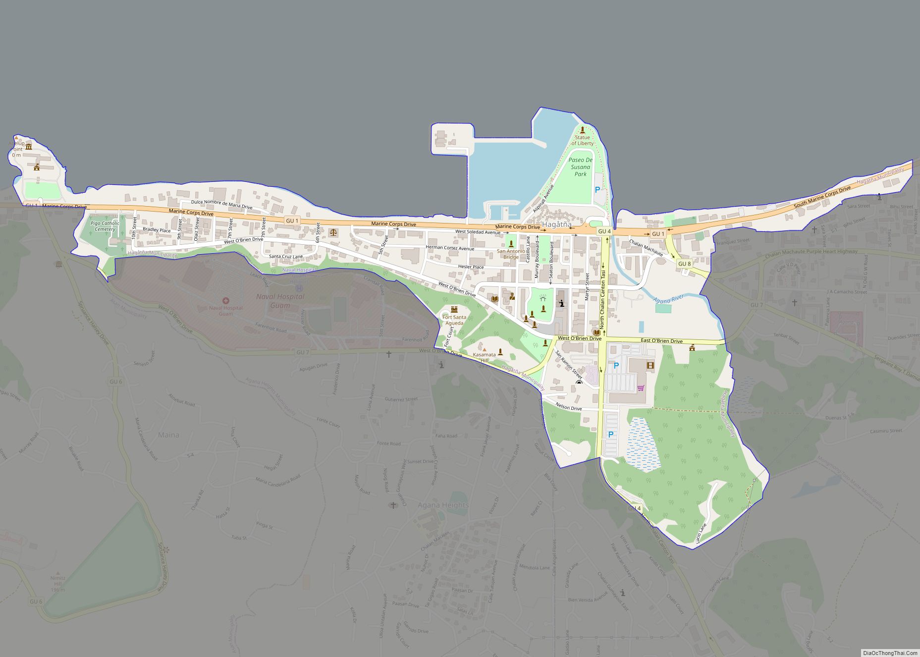
Hagåtña CDP overview: Name: Hagåtña CDP LSAD Code: 57 LSAD Description: CDP (suffix) State: Guam FIPS code: 6634750 Online Interactive Map Hagåtña online map. Source: Basemap layers from Google Map, Open Street Map (OSM), Arcgisonline, Wmflabs. Boundary Data from Database of Global Administrative Areas. Hagåtña location map. Where is Hagåtña CDP? Hagåtña Road Map Hagåtña ... Read more
Machananao East CDP overview: Name: Machananao East CDP LSAD Code: 57 LSAD Description: CDP (suffix) State: Guam FIPS code: 6642470 Online Interactive Map Machananao East online map. Source: Basemap layers from Google Map, Open Street Map (OSM), Arcgisonline, Wmflabs. Boundary Data from Database of Global Administrative Areas. Machananao East location map. Where is Machananao East ... Read more
Liguan CDP overview: Name: Liguan CDP LSAD Code: 57 LSAD Description: CDP (suffix) State: Guam FIPS code: 6641300 Online Interactive Map Liguan online map. Source: Basemap layers from Google Map, Open Street Map (OSM), Arcgisonline, Wmflabs. Boundary Data from Database of Global Administrative Areas. Liguan location map. Where is Liguan CDP? Liguan Road Map Liguan ... Read more
Ipan CDP overview: Name: Ipan CDP LSAD Code: 57 LSAD Description: CDP (suffix) State: Guam FIPS code: 6636600 Online Interactive Map Ipan online map. Source: Basemap layers from Google Map, Open Street Map (OSM), Arcgisonline, Wmflabs. Boundary Data from Database of Global Administrative Areas. Ipan location map. Where is Ipan CDP? Ipan Road Map Ipan ... Read more
Macheche CDP overview: Name: Macheche CDP LSAD Code: 57 LSAD Description: CDP (suffix) State: Guam FIPS code: 6643300 Online Interactive Map Macheche online map. Source: Basemap layers from Google Map, Open Street Map (OSM), Arcgisonline, Wmflabs. Boundary Data from Database of Global Administrative Areas. Macheche location map. Where is Macheche CDP? Macheche Road Map Macheche ... Read more
Machanao CDP overview: Name: Machanao CDP LSAD Code: 57 LSAD Description: CDP (suffix) State: Guam FIPS code: 6642490 Online Interactive Map Machanao online map. Source: Basemap layers from Google Map, Open Street Map (OSM), Arcgisonline, Wmflabs. Boundary Data from Database of Global Administrative Areas. Machanao location map. Where is Machanao CDP? Machanao Road Map Machanao ... Read more
