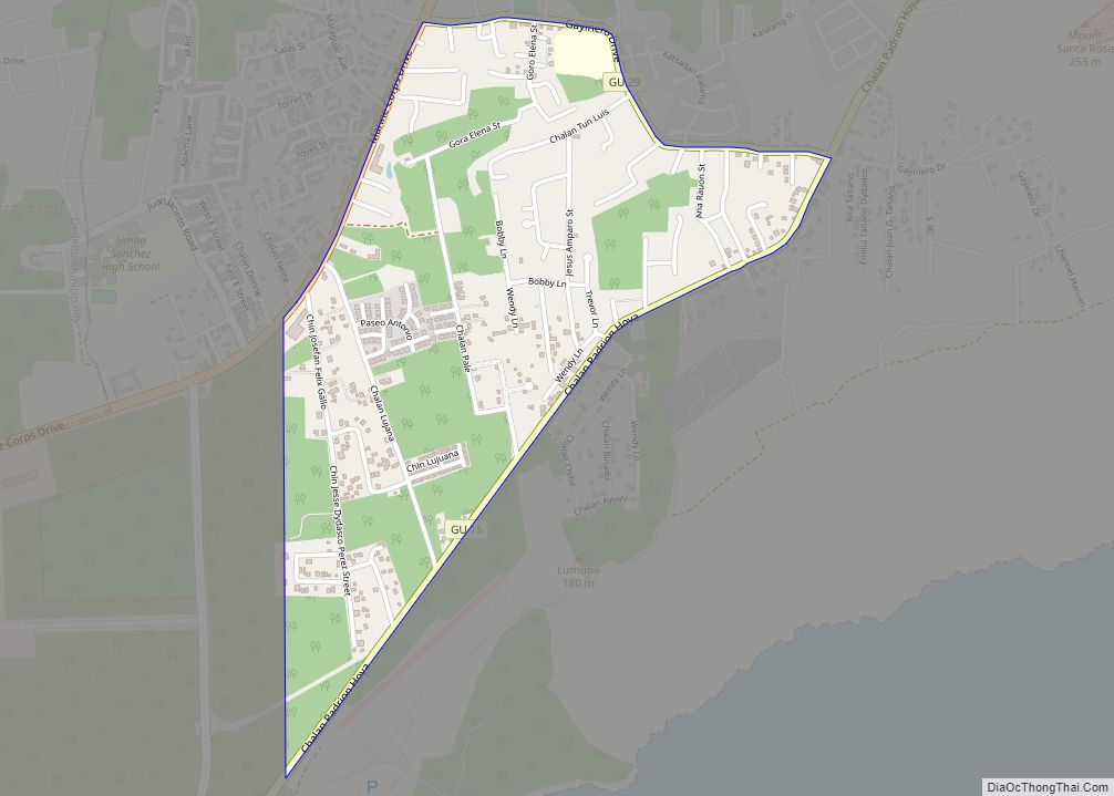
North Gayinero CDP overview: Name: North Gayinero CDP LSAD Code: 57 LSAD Description: CDP (suffix) State: Guam FIPS code: 6653000 Online Interactive Map North Gayinero online map. Source: Basemap layers from Google Map, Open Street Map (OSM), Arcgisonline, Wmflabs. Boundary Data from Database of Global Administrative Areas. North Gayinero location map. Where is North Gayinero ... Read more
Guam Cities and Places
Pagat CDP overview: Name: Pagat CDP LSAD Code: 57 LSAD Description: CDP (suffix) State: Guam FIPS code: 6656300 Online Interactive Map Pagat online map. Source: Basemap layers from Google Map, Open Street Map (OSM), Arcgisonline, Wmflabs. Boundary Data from Database of Global Administrative Areas. Pagat location map. Where is Pagat CDP? Pagat Road Map Pagat ... Read more
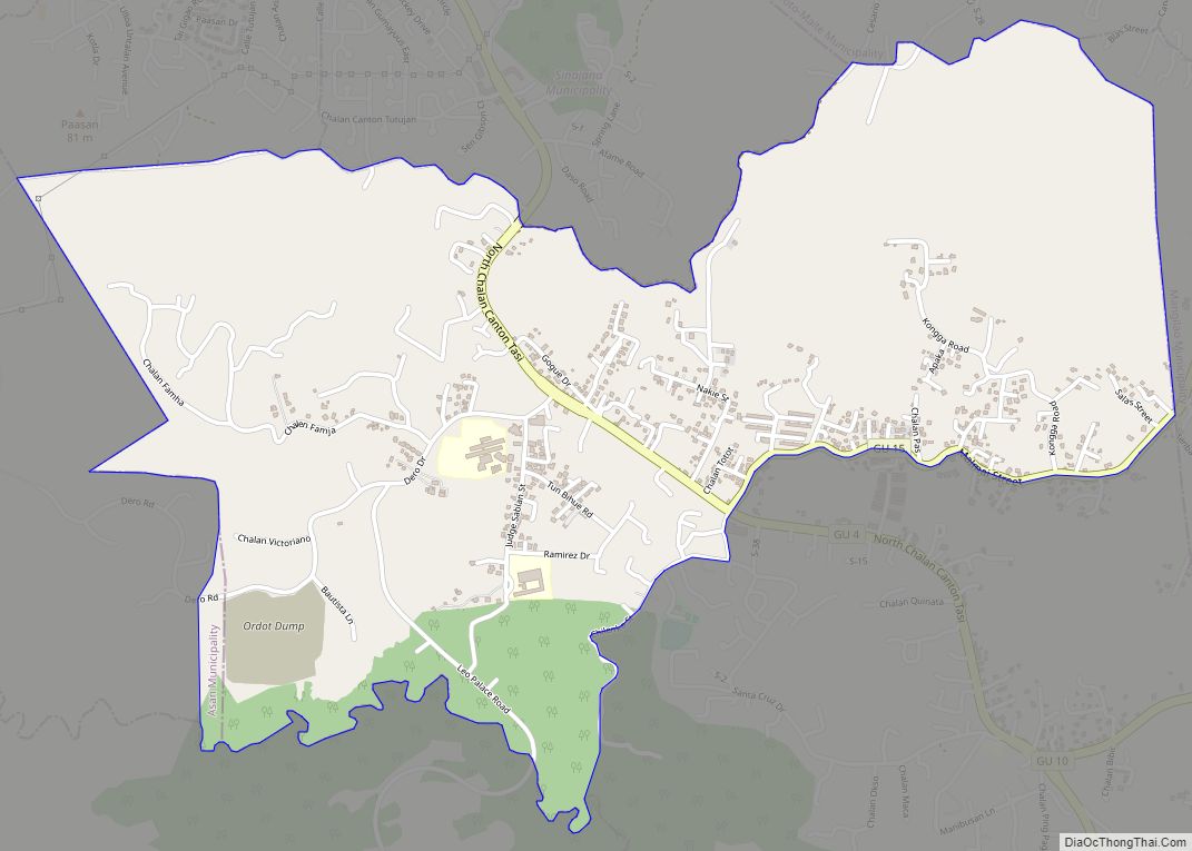
Ordot CDP overview: Name: Ordot CDP LSAD Code: 57 LSAD Description: CDP (suffix) State: Guam FIPS code: 6655350 Online Interactive Map Ordot online map. Source: Basemap layers from Google Map, Open Street Map (OSM), Arcgisonline, Wmflabs. Boundary Data from Database of Global Administrative Areas. Ordot location map. Where is Ordot CDP? Ordot Road Map Ordot ... Read more
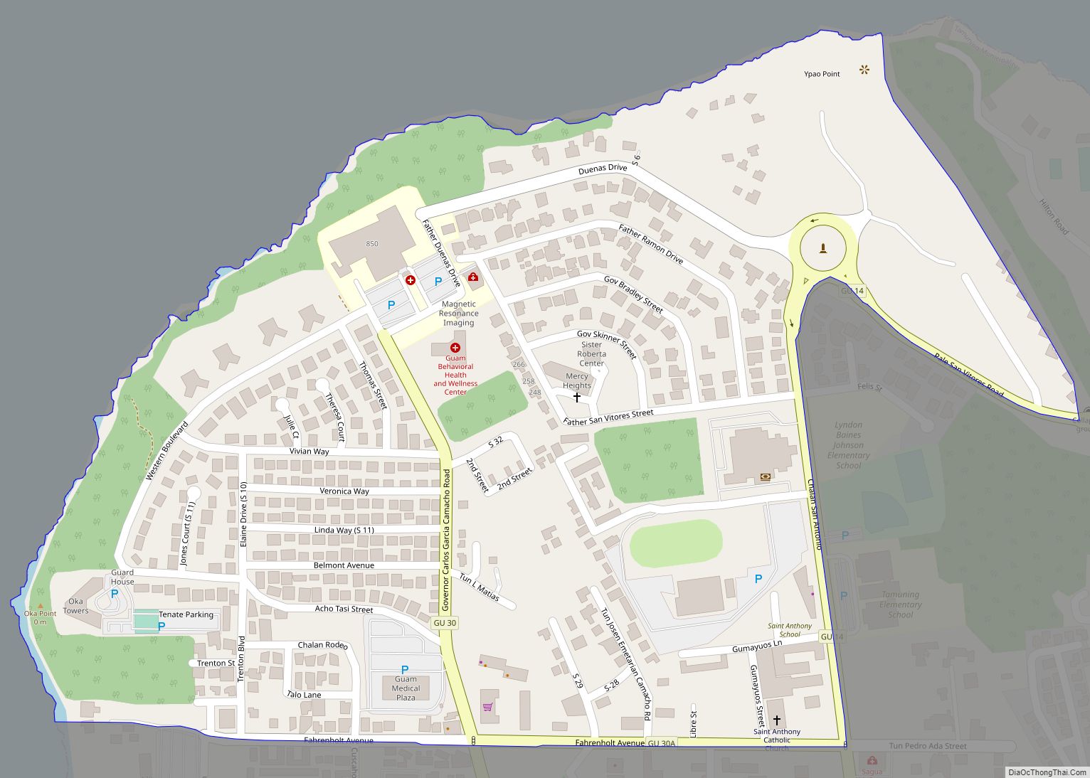
Oka CDP overview: Name: Oka CDP LSAD Code: 57 LSAD Description: CDP (suffix) State: Guam FIPS code: 6654800 Online Interactive Map Oka online map. Source: Basemap layers from Google Map, Open Street Map (OSM), Arcgisonline, Wmflabs. Boundary Data from Database of Global Administrative Areas. Oka location map. Where is Oka CDP? Oka Road Map Oka ... Read more
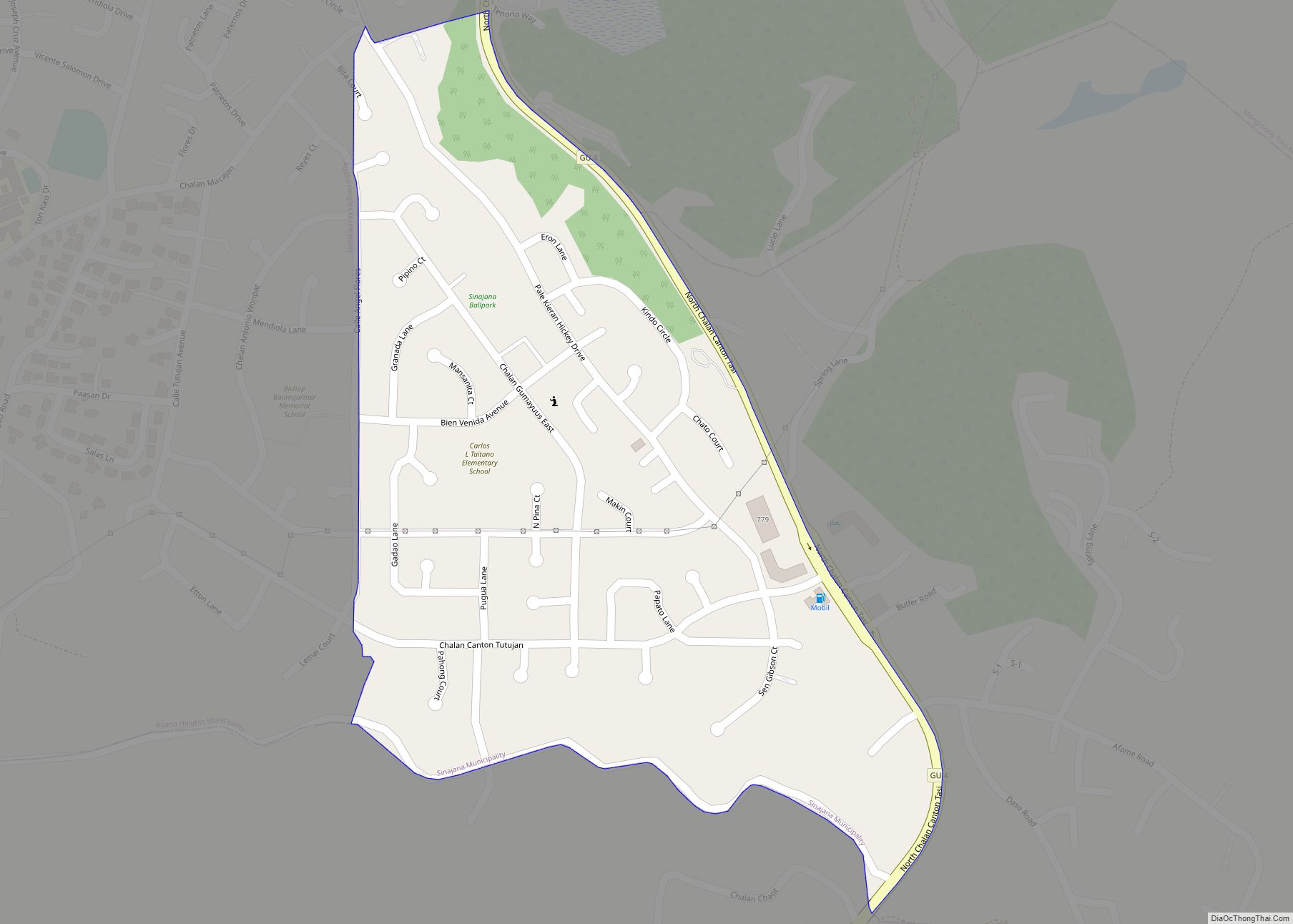
Sinajana CDP overview: Name: Sinajana CDP LSAD Code: 57 LSAD Description: CDP (suffix) State: Guam FIPS code: 6665100 Online Interactive Map Sinajana online map. Source: Basemap layers from Google Map, Open Street Map (OSM), Arcgisonline, Wmflabs. Boundary Data from Database of Global Administrative Areas. Sinajana location map. Where is Sinajana CDP? Sinajana Road Map Sinajana ... Read more
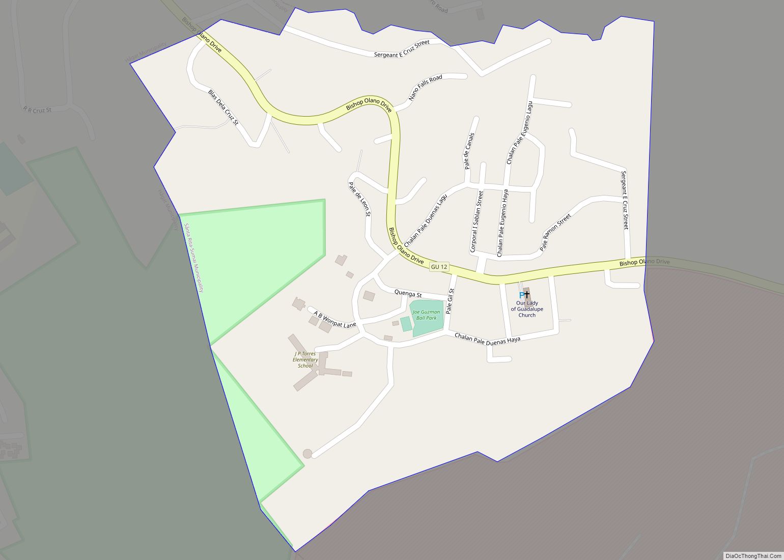
Santa Rita CDP overview: Name: Santa Rita CDP LSAD Code: 57 LSAD Description: CDP (suffix) State: Guam FIPS code: 6661850 Online Interactive Map Santa Rita online map. Source: Basemap layers from Google Map, Open Street Map (OSM), Arcgisonline, Wmflabs. Boundary Data from Database of Global Administrative Areas. Santa Rita location map. Where is Santa Rita ... Read more
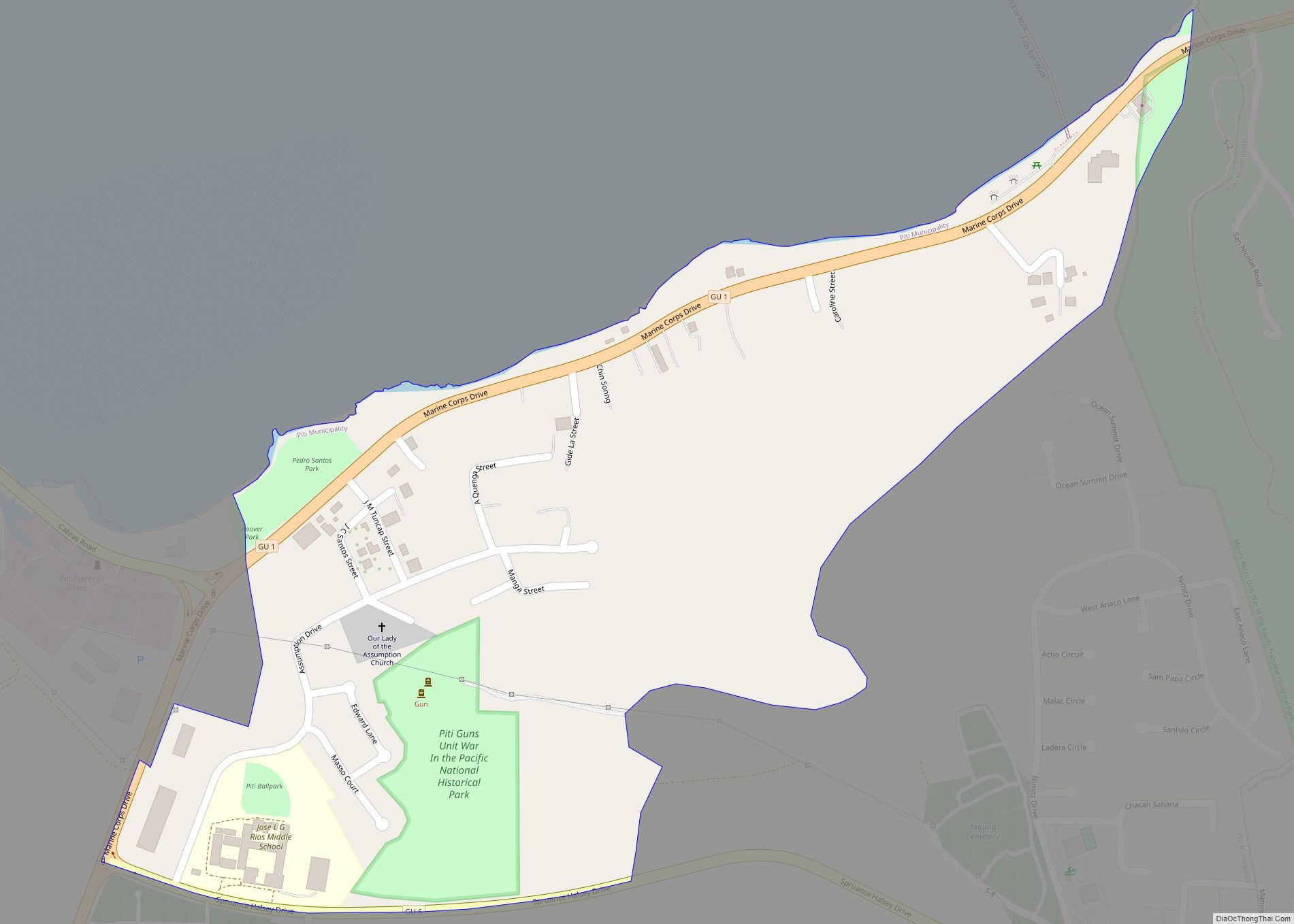
Piti CDP overview: Name: Piti CDP LSAD Code: 57 LSAD Description: CDP (suffix) State: Guam FIPS code: 6658600 Online Interactive Map Piti online map. Source: Basemap layers from Google Map, Open Street Map (OSM), Arcgisonline, Wmflabs. Boundary Data from Database of Global Administrative Areas. Piti location map. Where is Piti CDP? Piti Road Map Piti ... Read more
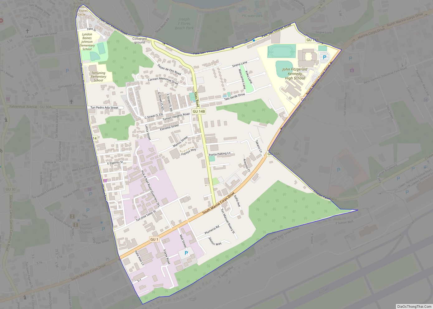
Tamuning CDP overview: Name: Tamuning CDP LSAD Code: 57 LSAD Description: CDP (suffix) State: Guam FIPS code: 6670950 Online Interactive Map Tamuning online map. Source: Basemap layers from Google Map, Open Street Map (OSM), Arcgisonline, Wmflabs. Boundary Data from Database of Global Administrative Areas. Tamuning location map. Where is Tamuning CDP? Tamuning Road Map Tamuning ... Read more
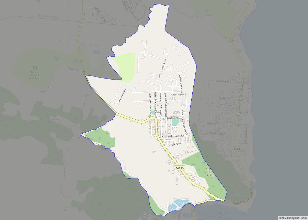
Talofofo CDP overview: Name: Talofofo CDP LSAD Code: 57 LSAD Description: CDP (suffix) State: Guam FIPS code: 6669000 Online Interactive Map Talofofo online map. Source: Basemap layers from Google Map, Open Street Map (OSM), Arcgisonline, Wmflabs. Boundary Data from Database of Global Administrative Areas. Talofofo location map. Where is Talofofo CDP? Talofofo Road Map Talofofo ... Read more
South Gayinero CDP overview: Name: South Gayinero CDP LSAD Code: 57 LSAD Description: CDP (suffix) State: Guam FIPS code: 6666800 Online Interactive Map South Gayinero online map. Source: Basemap layers from Google Map, Open Street Map (OSM), Arcgisonline, Wmflabs. Boundary Data from Database of Global Administrative Areas. South Gayinero location map. Where is South Gayinero ... Read more
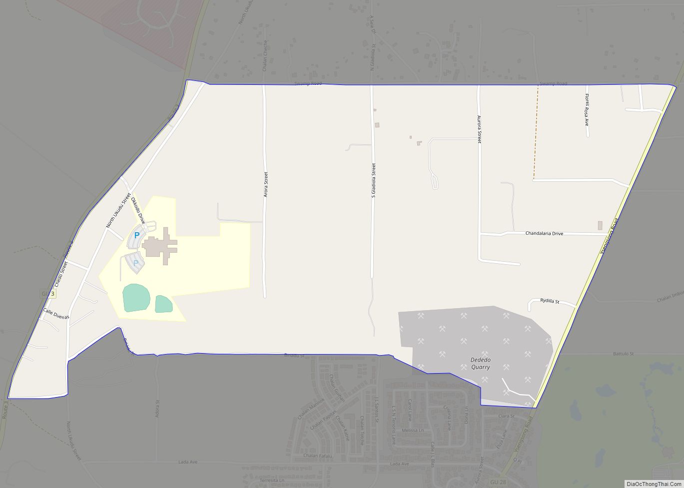
Ukudu CDP overview: Name: Ukudu CDP LSAD Code: 57 LSAD Description: CDP (suffix) State: Guam FIPS code: 6677200 Online Interactive Map Ukudu online map. Source: Basemap layers from Google Map, Open Street Map (OSM), Arcgisonline, Wmflabs. Boundary Data from Database of Global Administrative Areas. Ukudu location map. Where is Ukudu CDP? Ukudu Road Map Ukudu ... Read more
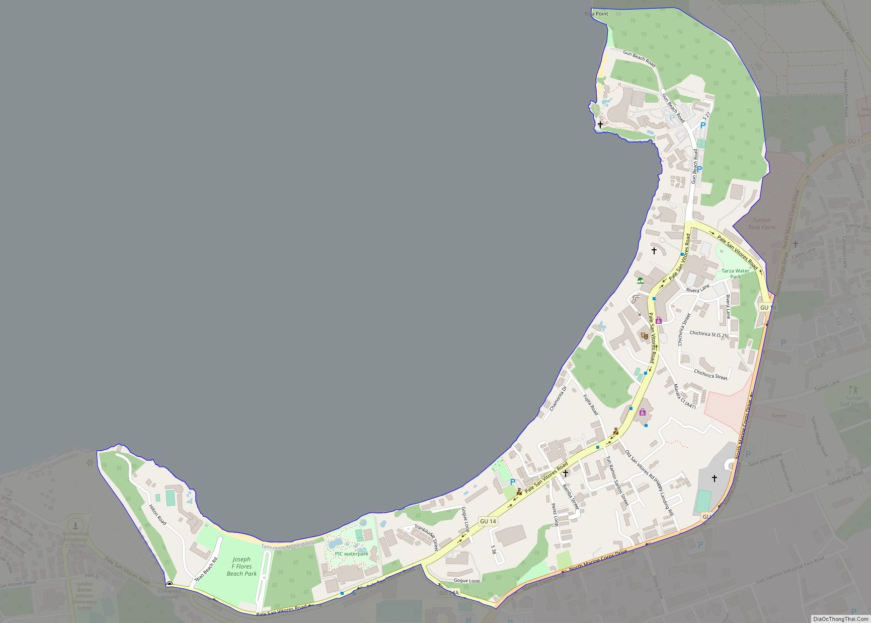
Tumon CDP overview: Name: Tumon CDP LSAD Code: 57 LSAD Description: CDP (suffix) State: Guam FIPS code: 6675500 Online Interactive Map Tumon online map. Source: Basemap layers from Google Map, Open Street Map (OSM), Arcgisonline, Wmflabs. Boundary Data from Database of Global Administrative Areas. Tumon location map. Where is Tumon CDP? Tumon Road Map Tumon ... Read more
