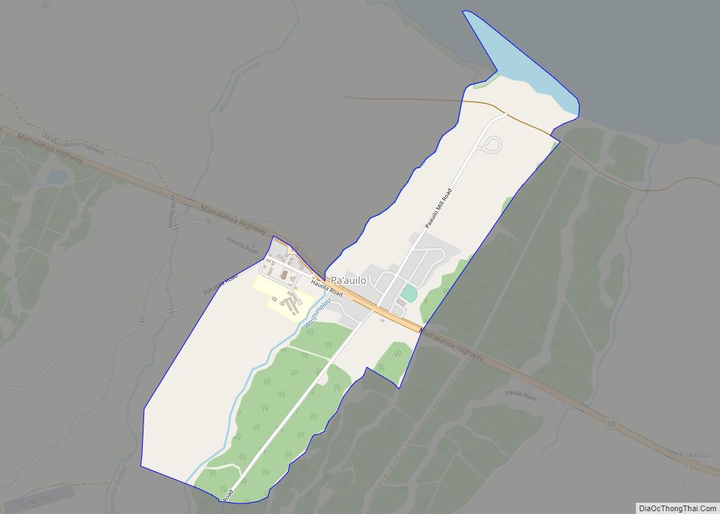
Pa’auilo (Hawaiian: Paʻauilo; English: /paʊˈiloʊ/) is a census-designated place (CDP) in Hawaiʻi County, Hawaii, United States. The population was 618 at the 2020 census. Paauilo CDP overview: Name: Paauilo CDP LSAD Code: 57 LSAD Description: CDP (suffix) State: Hawaii County: Hawaii County Elevation: 712 ft (217 m) Total Area: 1.24 sq mi (3.23 km²) Land Area: 1.20 sq mi (3.11 km²) Water Area: ... Read more
Hawaii Cities and Places
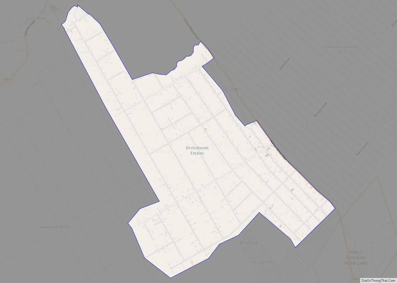
Orchidlands Estates (also known as Orchidland or Orchid Land Estates) is a census-designated place (CDP) in Hawaiʻi County, Hawaiʻi, United States located in the District of Puna. The population was 2,815 at the 2010 census, up from 1,731 at the 2000 census. Orchidlands Estates CDP overview: Name: Orchidlands Estates CDP LSAD Code: 57 LSAD Description: ... Read more
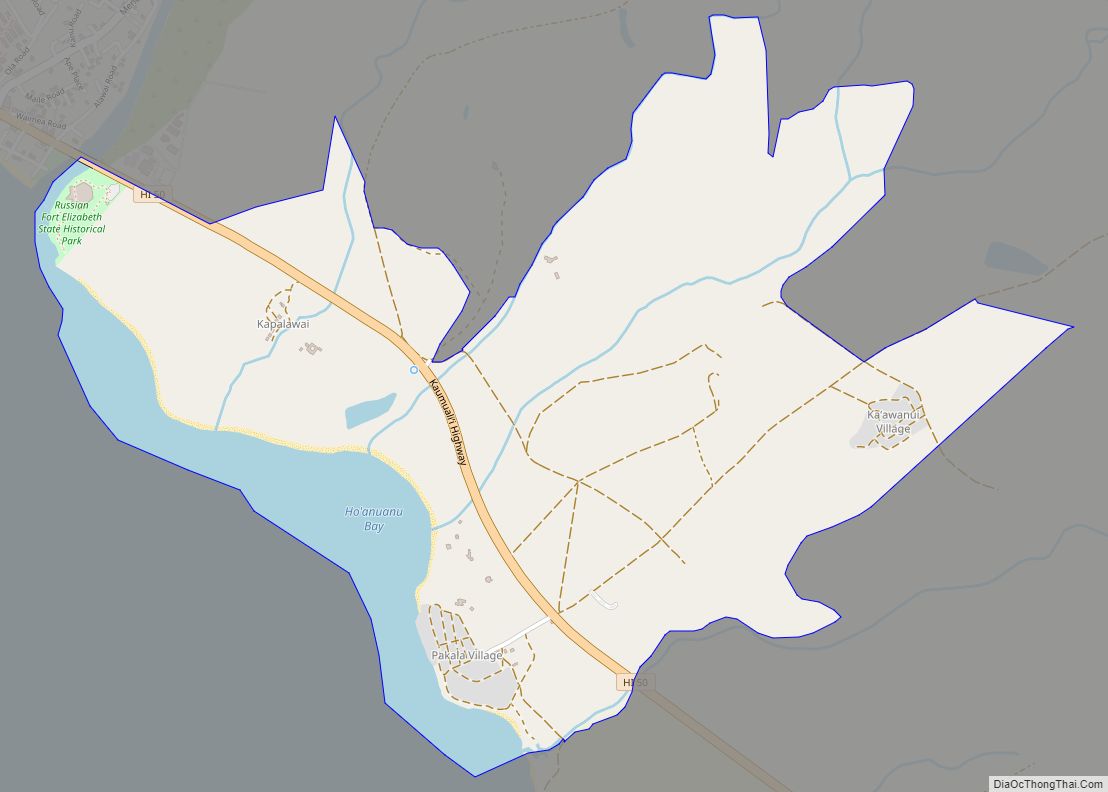
Pākalā Village (literally, “the sun shines” in Hawaiian) is a census-designated place (CDP) in Kauaʻi County, Hawaiʻi, United States. The population was 286 at the 2020 census. Pakala Village CDP overview: Name: Pakala Village CDP LSAD Code: 57 LSAD Description: CDP (suffix) State: Hawaii County: Kauai County Elevation: 40 ft (10 m) Total Area: 2.74 sq mi (7.09 km²) Land ... Read more
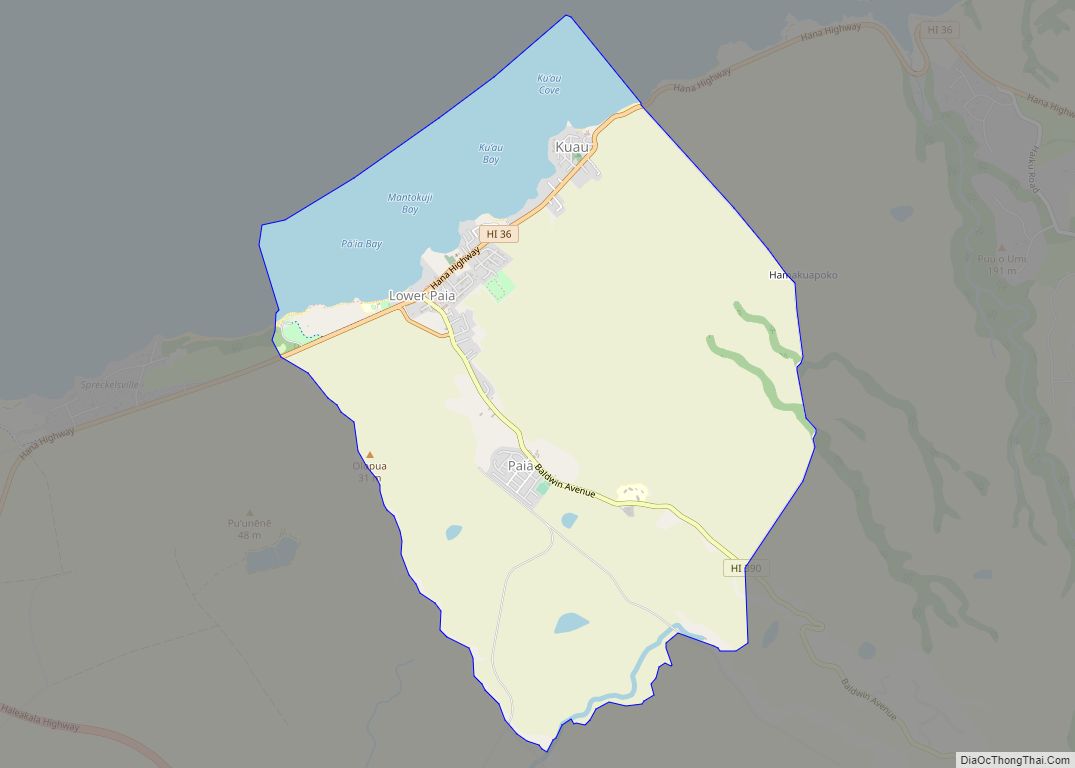
Pā’ia (Hawaiian: Pāʻia [paːˈʔijə]) is a census-designated place (CDP) in Maui County, Hawaii, United States, on the northern coast of the island of Maui. The population was 2,470 at the 2020 census. Pā’ia is home to several restaurants, art galleries, surf shops and other tourist-oriented businesses. It was formerly home to a Hawaiian Commercial & ... Read more
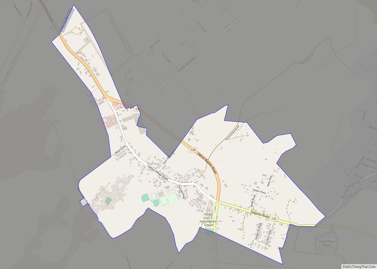
Pāhoa (Hawaiian: Pāhoa) is a census-designated place (CDP) in the District of Puna in Hawai‘i County, Hawai‘i, United States. The population was 924 at the 2020 census. The population dropped by 1.8% from 945 in the 2010 census. Pahoa CDP overview: Name: Pahoa CDP LSAD Code: 57 LSAD Description: CDP (suffix) State: Hawaii County: Hawaii ... Read more
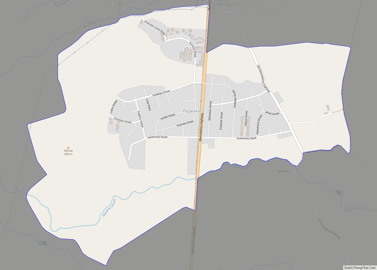
Pepeekeo (Hawaiian: Pepeʻekeo) is a census-designated place (CDP) in Hawaii County, Hawaii, United States. The population was 1,789 at the 2010 census, up from 1,697 at the 2000 census. Pepeekeo CDP overview: Name: Pepeekeo CDP LSAD Code: 57 LSAD Description: CDP (suffix) State: Hawaii County: Hawaii County Elevation: 564 ft (172 m) Total Area: 1.10 sq mi (2.85 km²) Land ... Read more
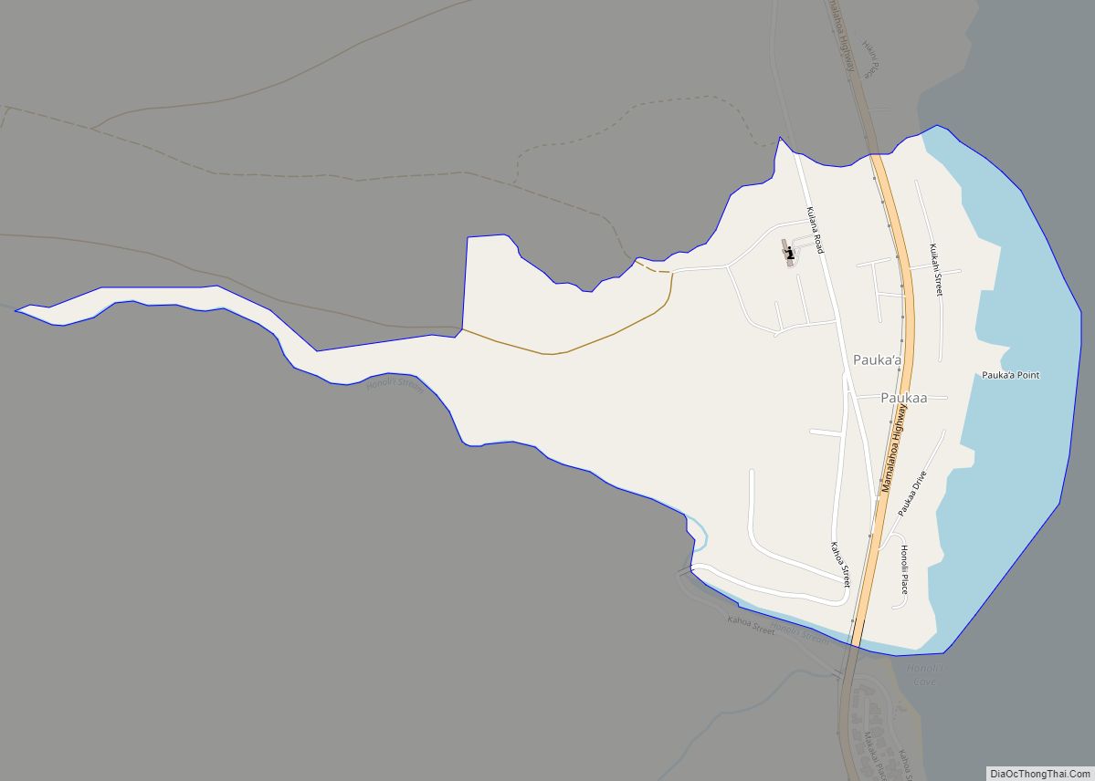
Paukaʻa (Hawaiian: Paukaʻa) is a census-designated place (CDP) in Hawaii County, Hawaii, United States. The population was 425 at the 2010 census, down from 495 at the 2000 census. The ZIP code is 96720. Paukaa CDP overview: Name: Paukaa CDP LSAD Code: 57 LSAD Description: CDP (suffix) State: Hawaii County: Hawaii County Elevation: 243 ft (74 m) ... Read more
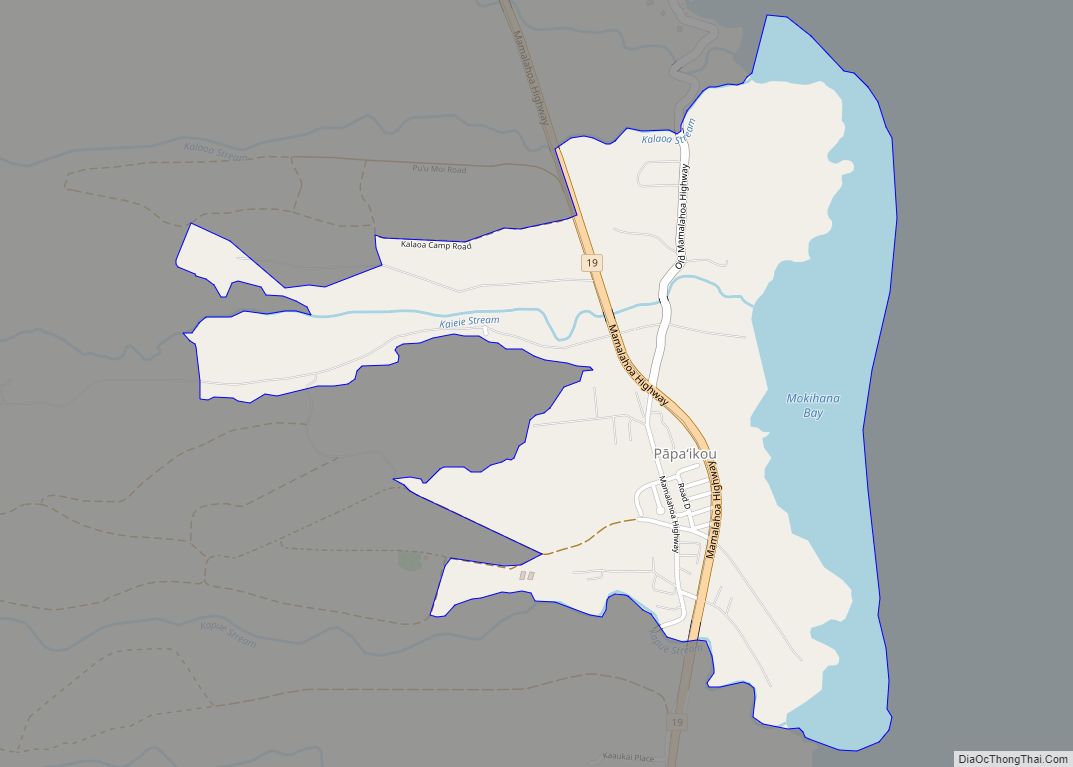
Papaikou is a census-designated place (CDP) in Hawaii County, Hawaii, United States, and is a few miles north of the county seat, Hilo. The population of Papaikou was 1,314 at the 2010 census, down from 1,414 at the 2000 census. Papaikou CDP overview: Name: Papaikou CDP LSAD Code: 57 LSAD Description: CDP (suffix) State: Hawaii ... Read more
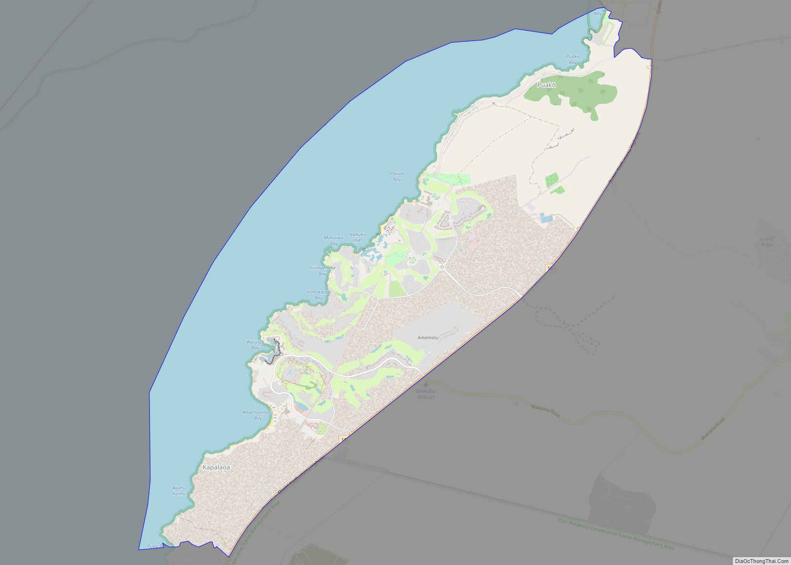
Puako (Hawaiian: Puakō) is a census-designated place (CDP) in Hawaiʻi County, Hawaii, United States. The population was 772 at the 2010 census, up from 429 at the 2000 census. The epicenter of the 2006 Kiholo Bay earthquake was some 6 miles (10 km) offshore of the village. Puako CDP overview: Name: Puako CDP LSAD Code: 57 ... Read more
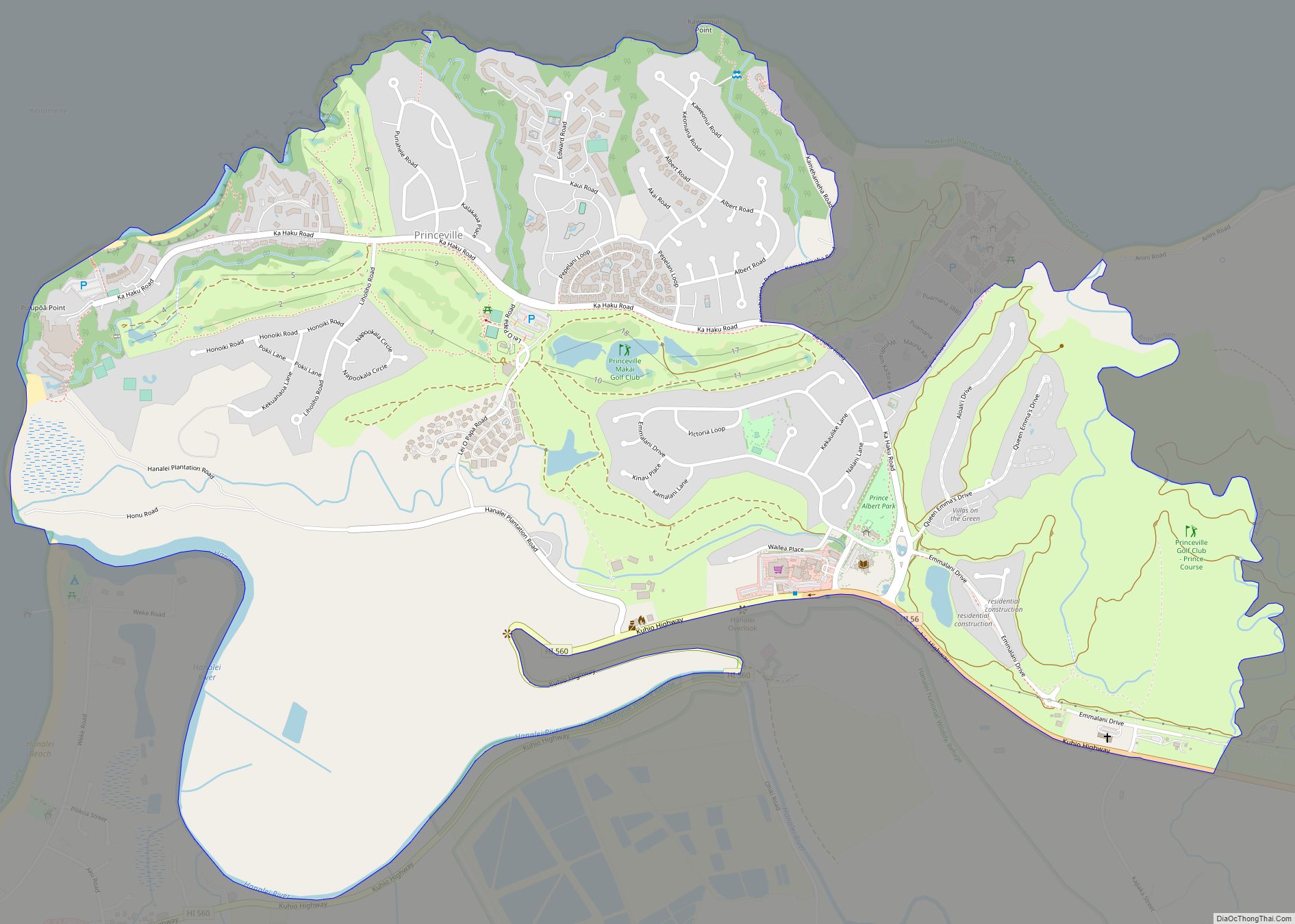
Princeville is a 9,000-acre (3,600 ha) unincorporated area mostly consisting of master-planned homes and condos on the north shore of the island of Kauai in Kauai County, Hawaii, United States. The population was 2,158 at the 2010 census, up from 1,698 at the 2000 census. Princeville CDP overview: Name: Princeville CDP LSAD Code: 57 LSAD Description: ... Read more
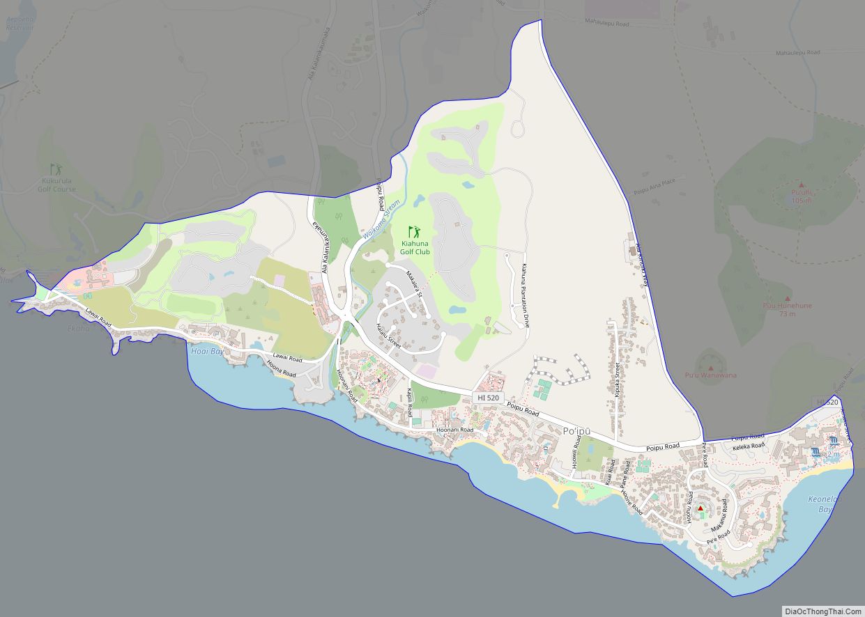
Poʻipū (literally, “crashing waves” in Hawaiian) is a census-designated place (CDP) in Kauaʻi County on the southern side of the island of Kauaʻi in the U.S. state of Hawaiʻi. The population was 1,299 at the 2020 census. The town features a group of high-end hotels, resorts and two main shopping centers. Poipu CDP overview: Name: ... Read more
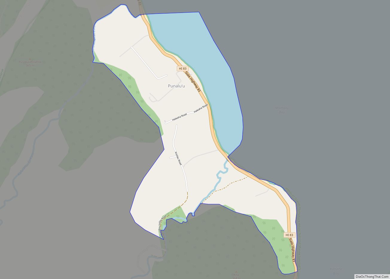
Punaluʻu (pronounced [punəluʔu]) is a census-designated place and rural community in the Koʻolauloa District on the island of Oʻahu, City & County of Honolulu, Hawaii, United States. In Hawaiian, punaluʻu means “coral dived for”, or in the case of the fishpond once located here, possibly “spring dived for”. There is a very small commercial center ... Read more
