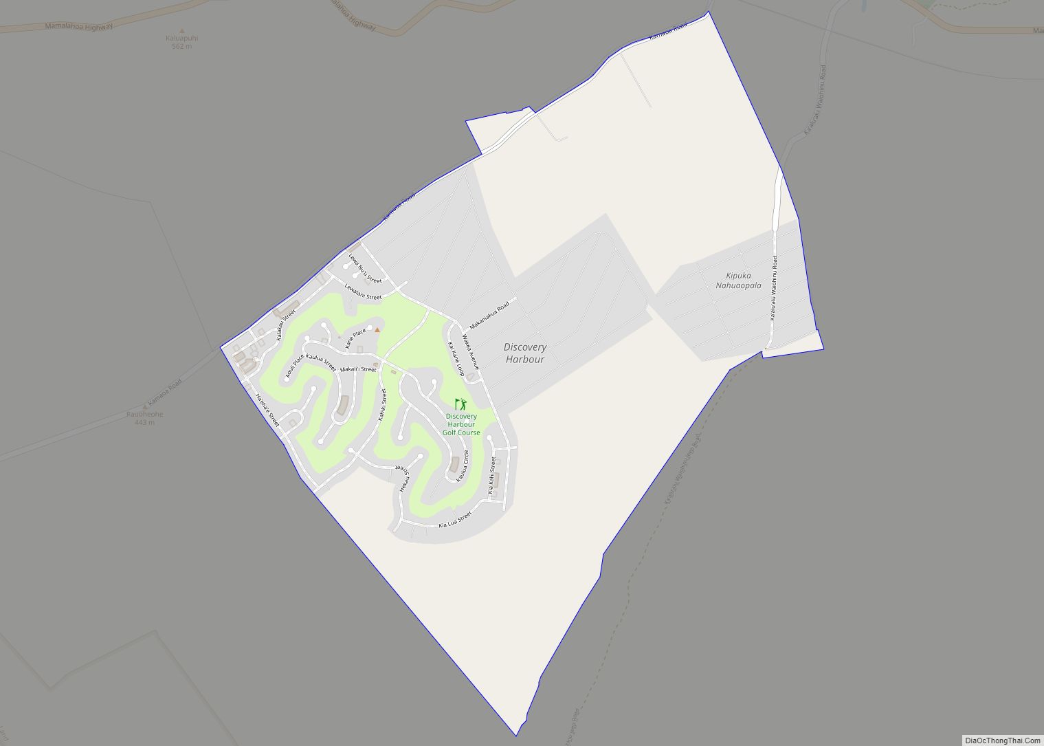
Discovery Harbour is an unincorporated community and census-designated place on the island of Hawaii in Hawaii County, Hawaii, United States. Its population was 1,171 as of the 2020 census. The community is located near the island’s southern tip, south of Hawaii Route 11. It is the southernmost populated place in the 50 states of the ... Read more
Hawaii Cities and Places
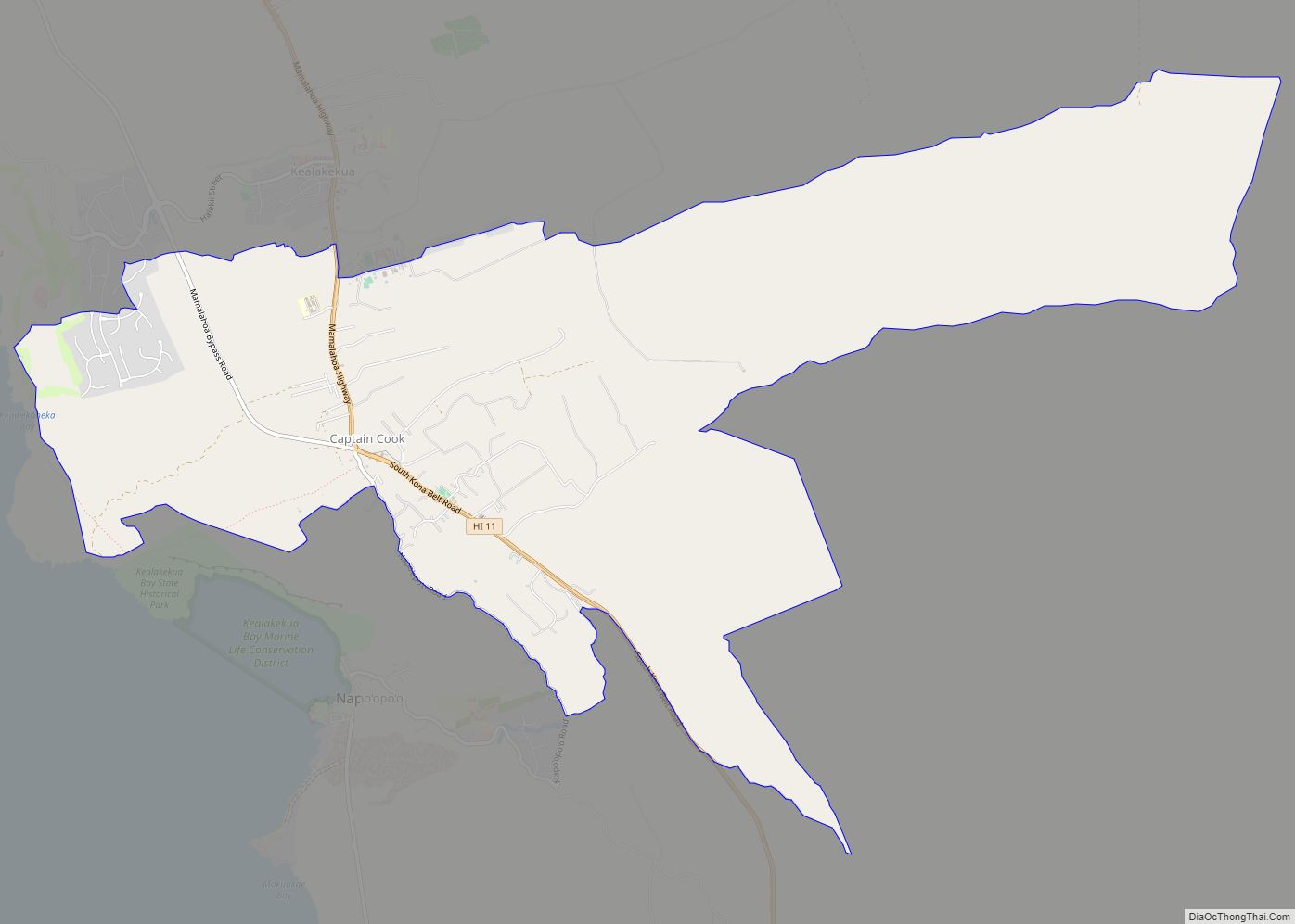
Captain Cook is a census-designated place (CDP) in Hawaiʻi County, Hawaiʻi, in the United States, located in the District of South Kona. The community, within the land division of Kealakekua, is so named because the post office for the area was located in the Captain Cook Coffee Co. during the early 1900s. As of the ... Read more
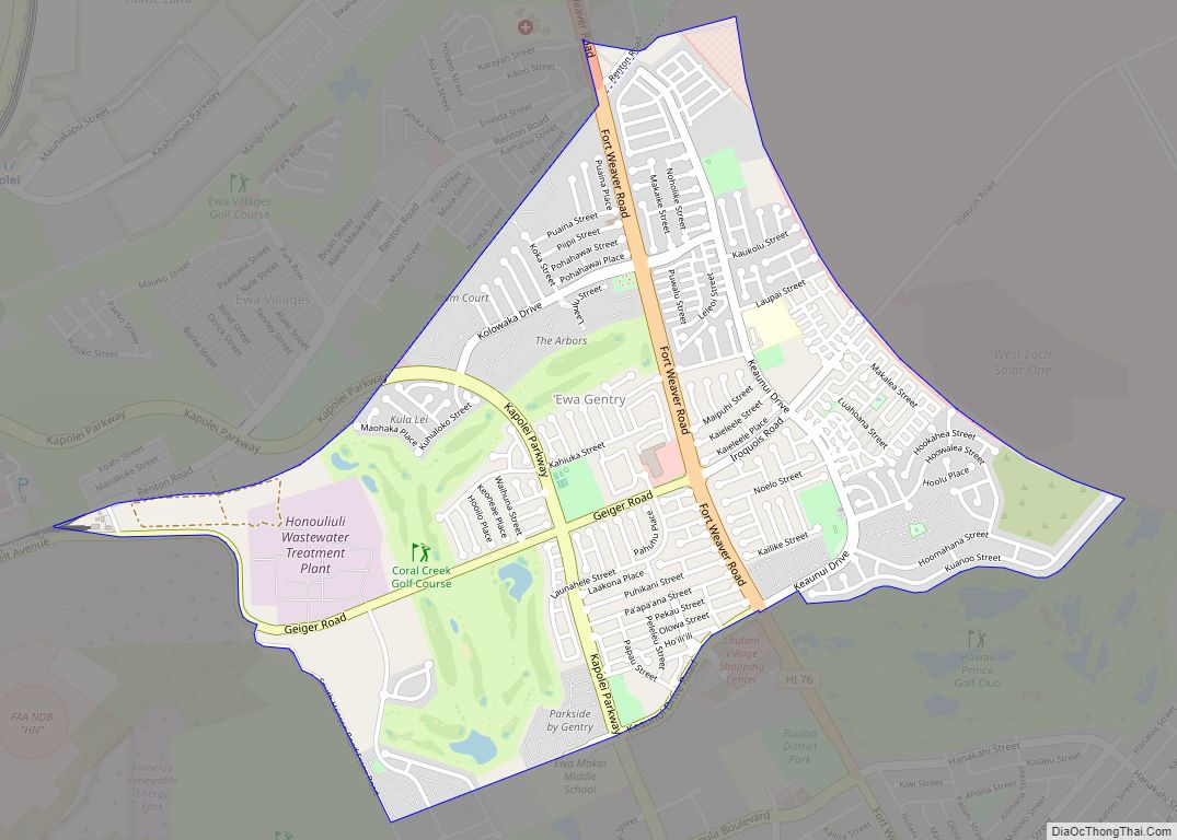
ʻEwa Gentry is a housing development and, as Ewa Gentry, a census-designated place (CDP) located in the ʻEwa District and the City & County of Honolulu on the leeward side of Oʻahu in Hawaiʻi about twelve miles (19 km) from Honolulu. As of the 2010 Census, the CDP had a total population of 22,690. This area ... Read more
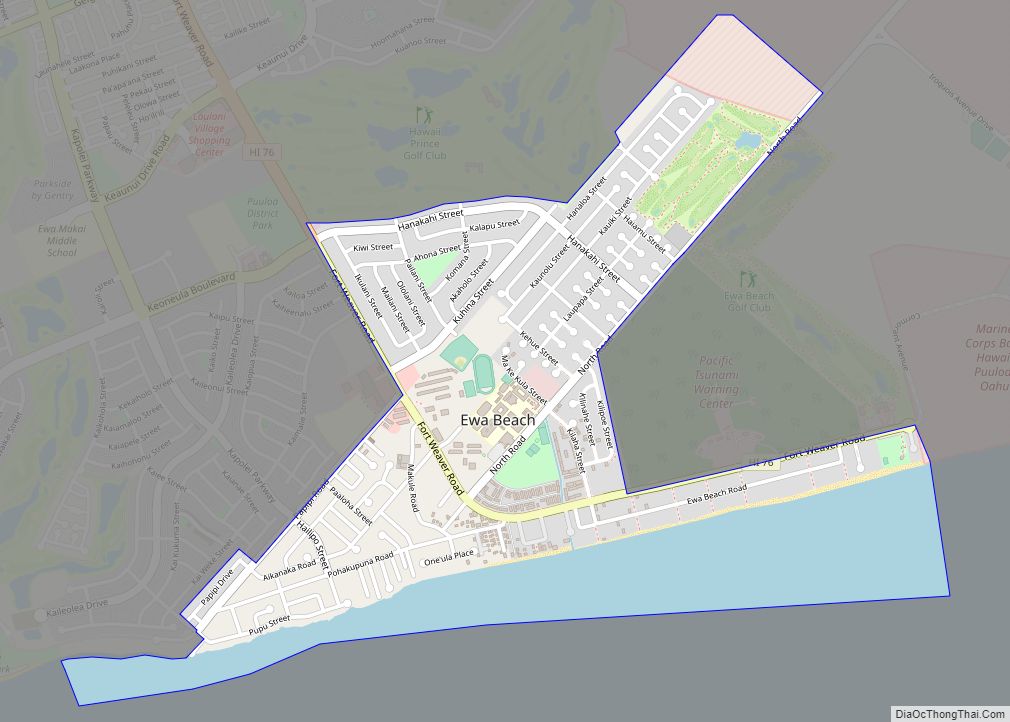
ʻEwa Beach (/ɛvə/) or simply ʻEwa (Hawaiian pronunciation: [ˈʔɛvə]) is a census-designated place (CDP) located in ʻEwa District and the City & County of Honolulu along the coast of Māmala Bay on the leeward side of Oʻahu in Hawaii. As of the 2010 Census, the CDP had a total population of 14,955. The U.S. postal code ... Read more
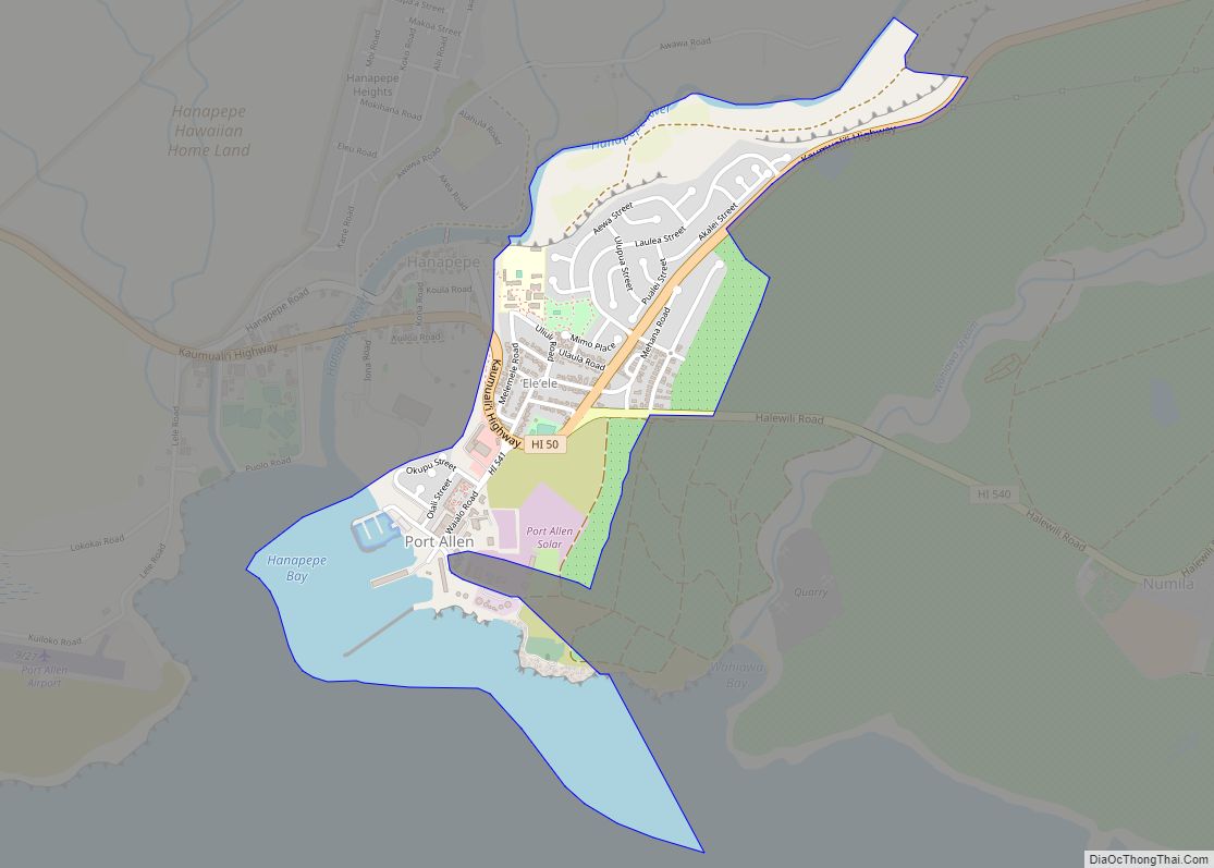
ʻEleʻele (literally, “black” or “black water” in Hawaiian) is a census-designated place (CDP) on the island of Kauaʻi in Kauaʻi County, Hawaiʻi, United States, with the ZIP code of 96705. Glass Beach, that is made of sea glass, is a local attraction. The population was 2,515 at the 2020 census, up from 2,040 at the ... Read more
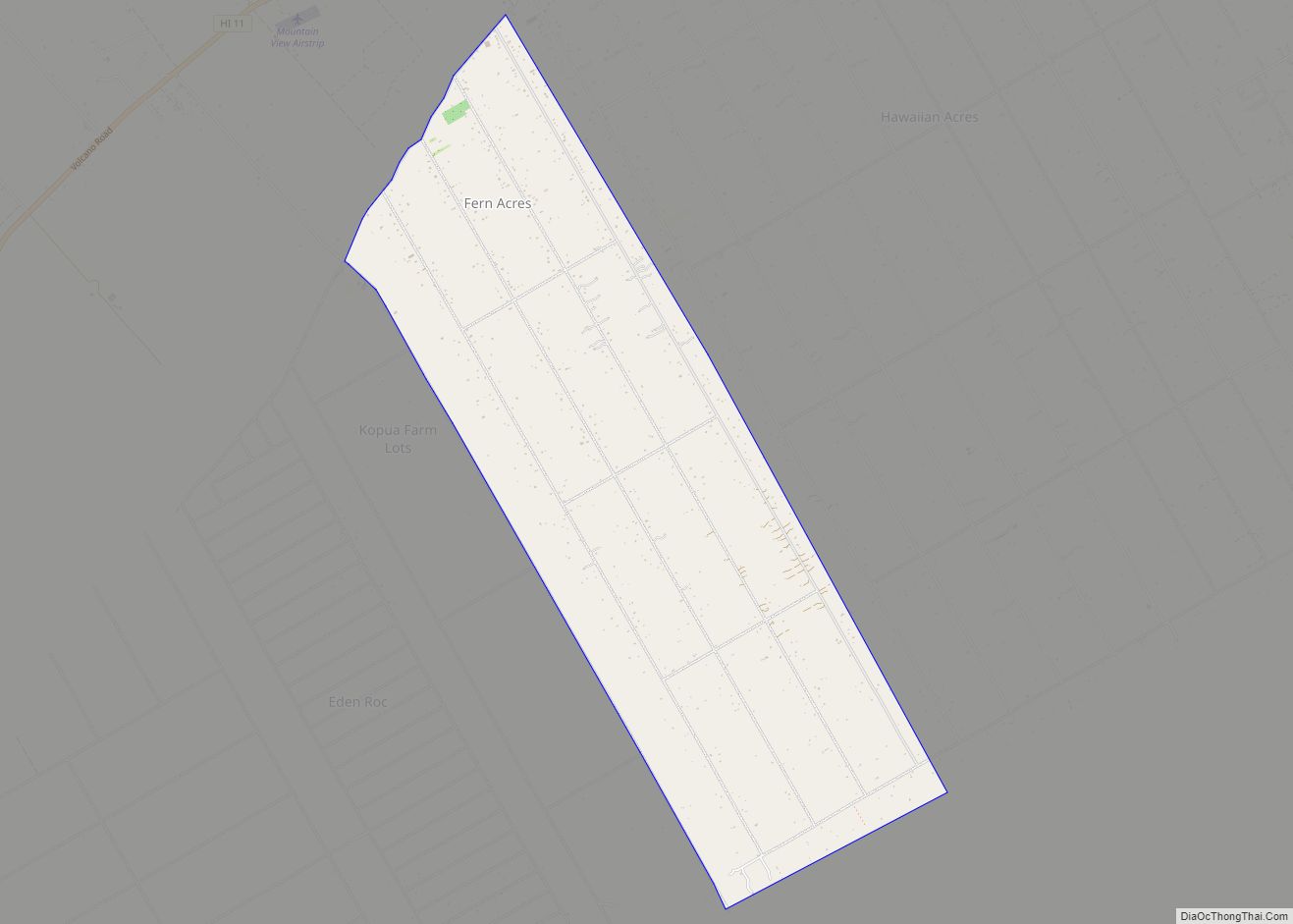
Fern Acres is a census-designated place (CDP) in Hawaiʻi County, Hawaiʻi, United States, located in the District of Puna. The population was 1,504 at the 2010 census, up from 756 at the 2000 census. Fern Acres CDP overview: Name: Fern Acres CDP LSAD Code: 57 LSAD Description: CDP (suffix) State: Hawaii County: Hawaii County Elevation: ... Read more
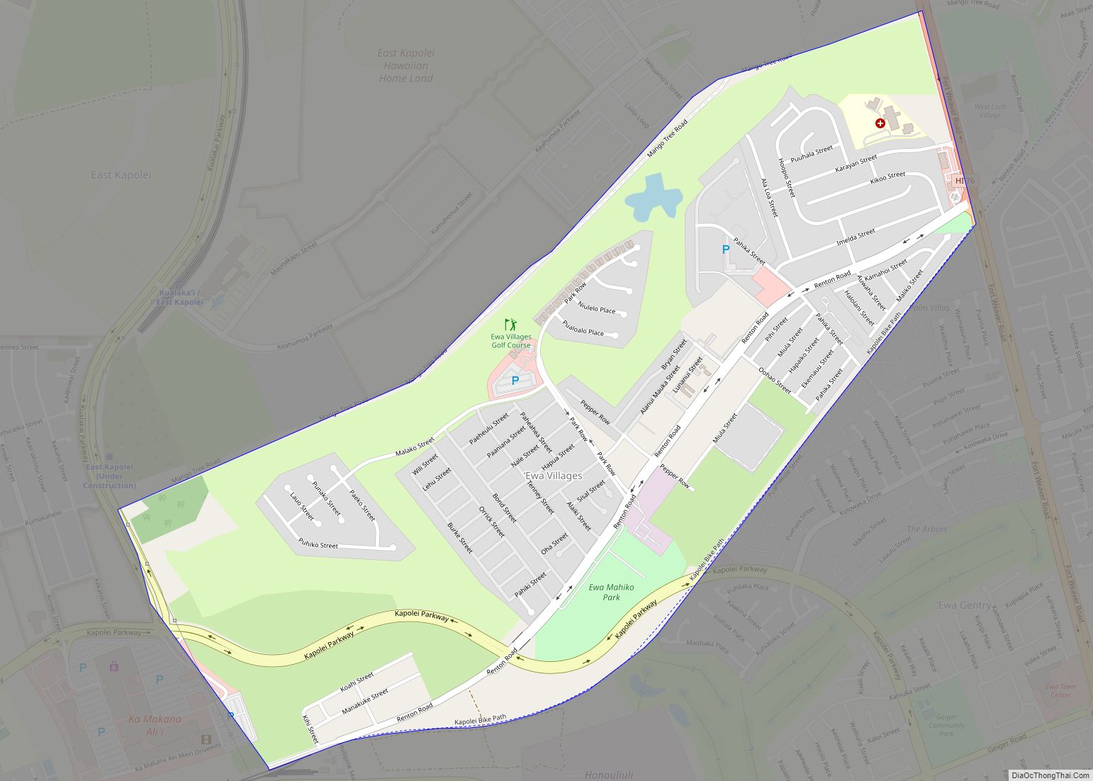
Ewa Villages is a census-designated place (CDP) located in the ʻEwa District and the City & County of Honolulu on the leeward side of Oʻahu in Hawaiʻi approximately 20 miles (32 km) from downtown Honolulu. As of the 2020 census, the CDP had a population of 7,825. This area was previously known as ʻEwa (in Hawaiian, ... Read more
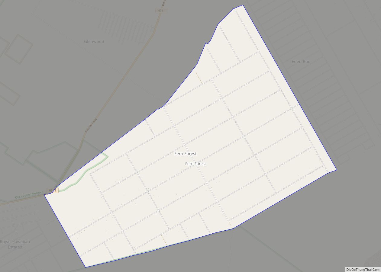
Fern Forest is a census-designated place (CDP) in Hawaiʻi County, Hawaiʻi, United States, located in the District of Puna. The population was 1,150 at the 2020 census. The population increased by 94.0% to 931 at the 2010 census. Fern Forest CDP overview: Name: Fern Forest CDP LSAD Code: 57 LSAD Description: CDP (suffix) State: Hawaii ... Read more
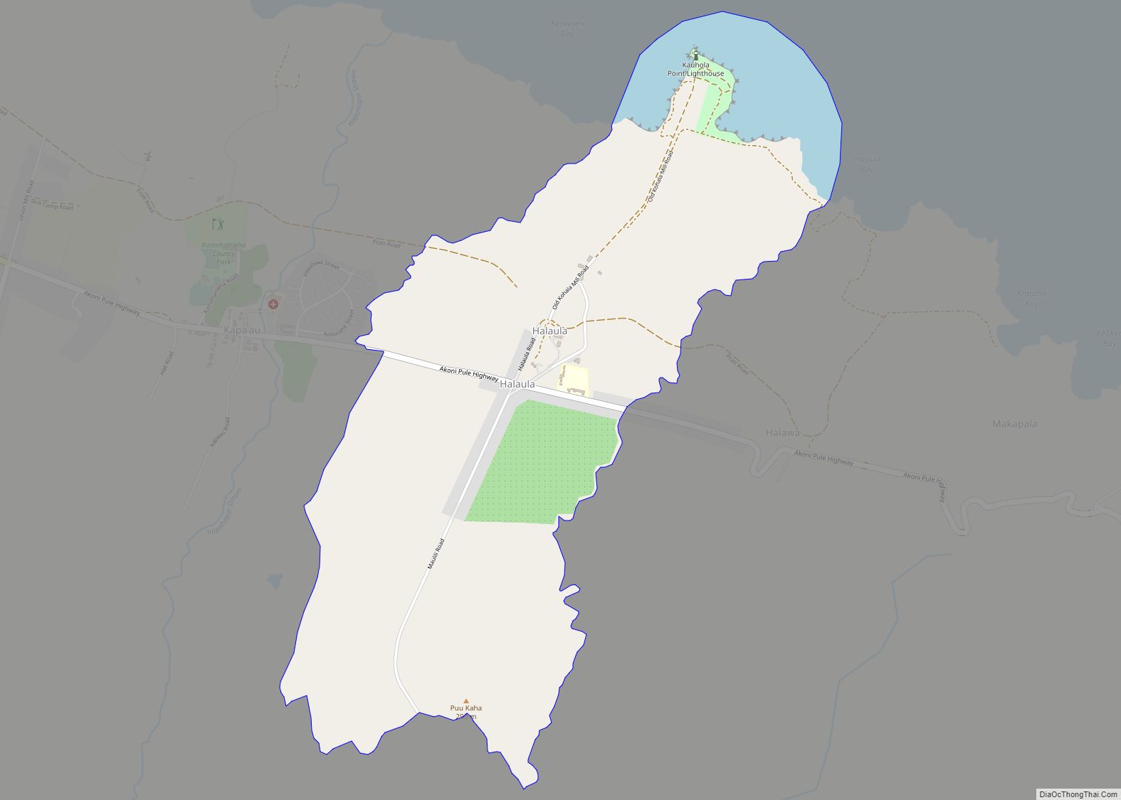
Halaula (Hawaiian: Halaʻula) is a census-designated place (CDP) in Hawaiʻi County, Hawaiʻi, United States. The population was 773 at the 2020 census. Halaula CDP overview: Name: Halaula CDP LSAD Code: 57 LSAD Description: CDP (suffix) State: Hawaii County: Hawaii County Elevation: 259 ft (79 m) Total Area: 4.70 sq mi (12.16 km²) Land Area: 4.37 sq mi (11.33 km²) Water Area: 0.32 sq mi (0.83 km²) ... Read more
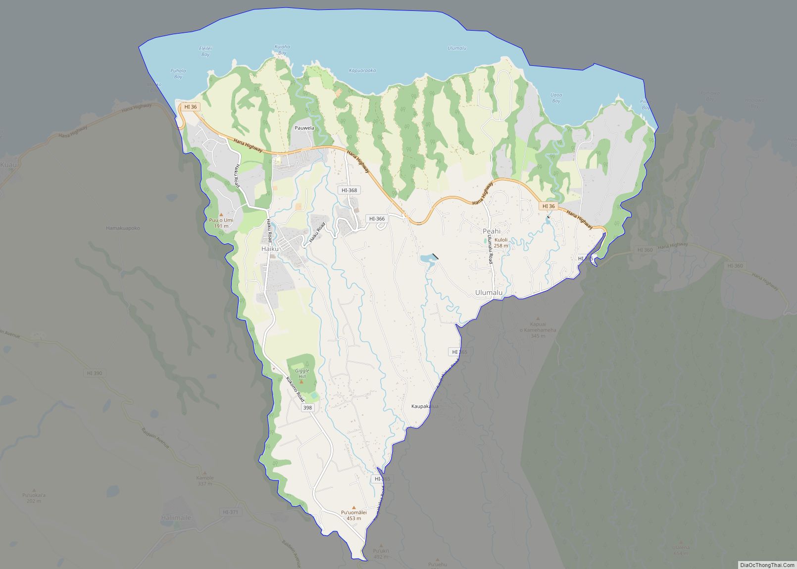
Haiku-Pauwela (Hawaiian: Haʻikū-Pauwela) is a census-designated place (CDP) in Maui County, Hawaii, United States, consisting of the village of Haiku, Hawaii and the hamlet of Pauwela. Haiku itself is an unincorporated community. The population was 8,595 at the 2020 census. Haiku-Pauwela CDP overview: Name: Haiku-Pauwela CDP LSAD Code: 57 LSAD Description: CDP (suffix) State: Hawaii ... Read more
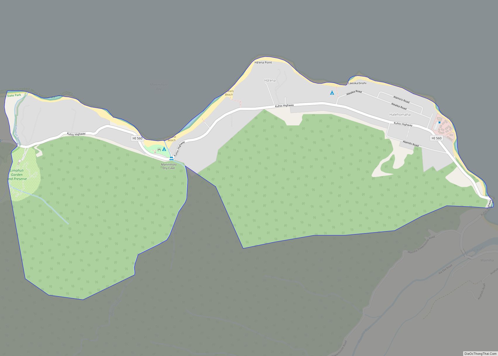
Hāʻena is an unincorporated community and census-designated place on the island of Kauai in Kauai County, Hawaii, United States. Its population was 550 as of the 2020 census. The community is located on the north side of the island along Hawaii Route 560. Haena CDP overview: Name: Haena CDP LSAD Code: 57 LSAD Description: CDP ... Read more
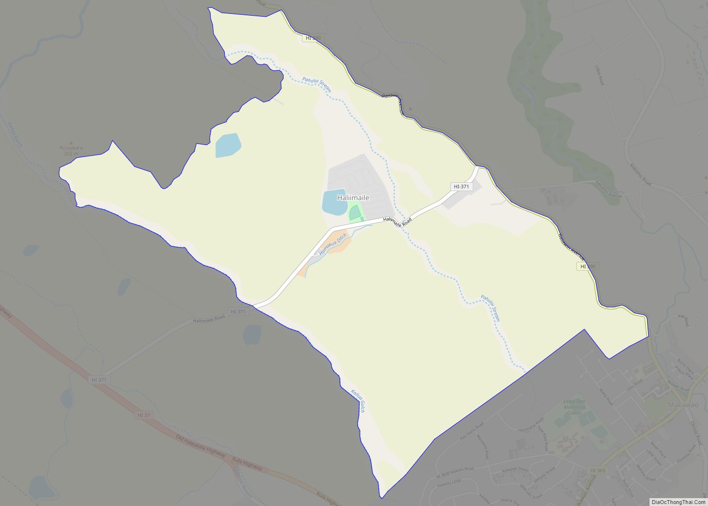
Haliimaile (Hawaiian: Hāliʻimaile) is a census-designated place (CDP) in Maui County, Hawaii, United States. The population was 1,074 at the 2020 census. Haliimaile CDP overview: Name: Haliimaile CDP LSAD Code: 57 LSAD Description: CDP (suffix) State: Hawaii County: Maui County Elevation: 1,001 ft (305 m) Total Area: 3.47 sq mi (9.00 km²) Land Area: 3.45 sq mi (8.93 km²) Water Area: 0.03 sq mi (0.07 km²) ... Read more
